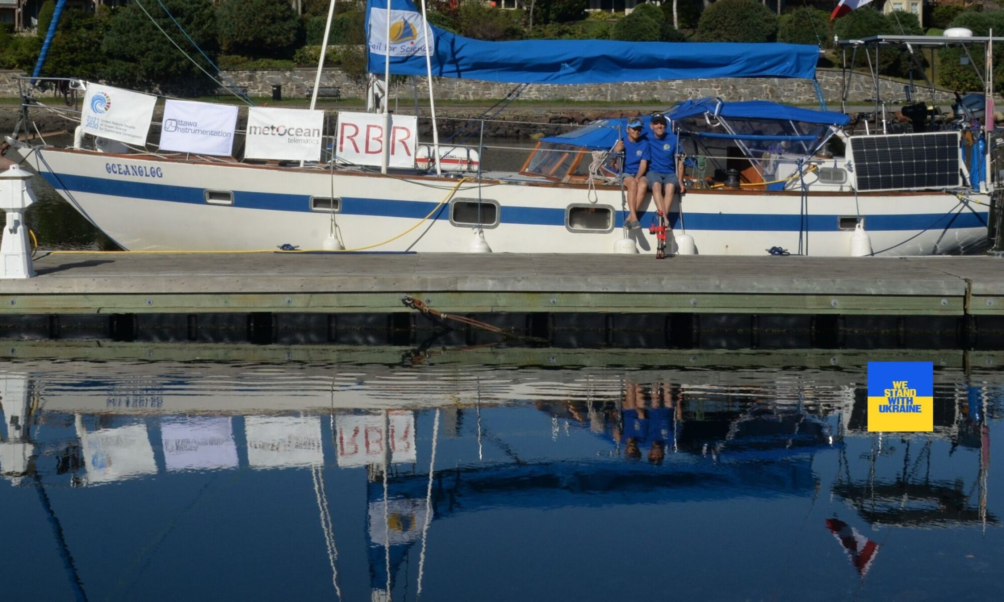

WHY “SAIL FOR SCIENCE” ?
We are oceanographers by profession, and there were two main reasons for such choice, or, to be more precise, two “loves” – love to sea and love to travel. The idea is to connect science with the adventure of traveling by providing valuable data about the marine environment in different parts of the globe where we sail. There is no such thing as “too much data” in relation to the ocean.
The majority of these sorts of data are gathered by costly oceanographic cruises, autonomous instrumental platforms or special satellites. We do not pretend that our work is going to replace these classic measurements, but it makes it possible to acquire, in an eco-friendly way, a big amount of data that could be really useful. Satellites must be continuously calibrated with in-situ measurements and our project could actually help with that too.
The ocean data are used to answer questions about climate change, ocean phenomena, management of coastal and marine resources, marine transportation, recreation, national security, and natural disasters. They are incredibly important for understanding the dynamics of the ocean. Another significant user community is Education, where these data and information products help teach each new generation of students about the oceans. Moreover, the analysis of the data will raise awareness of the human impacts on fragile ecosystems.
HOW DO SCIENTISTS GET ACCESS TO OUR DATA?
There are three World Data Centers for Oceanography: World Data Center in Silver Spring, Maryland, United States, World Data Center in Moscow, Russia, and World Data Center in Tianjin, People’s Republic of China. They are part of the World Data Center System initiated in 1957 to provide a mechanism for data exchange, and they operate under guidelines issued by the International Council of Scientific Unions (ICSU).
As part of the Citizen Science project of North America, we donate our data to Maryland World Ocean Database (WOD) It is the world’s largest collection of uniformly formatted, quality-controlled, publicly available ocean profile data. It is a powerful tool for oceanographic, climatic, and environmental research, and the end result of more than 20 years of coordinated efforts to incorporate data from institutions, agencies, individual researchers, and data recovery initiatives into a single database. WOD data spans from Captain Cook’s 1772 voyage to the contemporary Argo period, making it a valuable resource for long-term and historical ocean climate analysis. Original versions of the 20,000+ datasets in the WOD are available through the NCEI archives.