Cloridorme

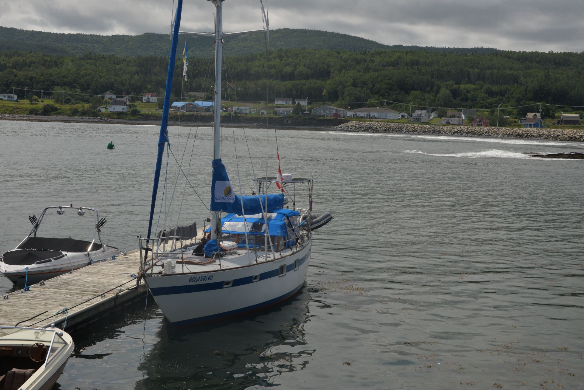
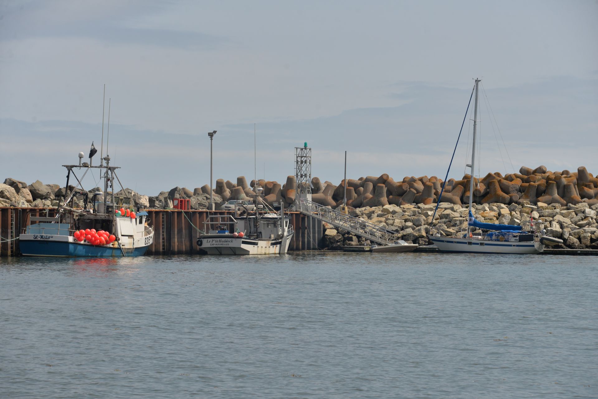
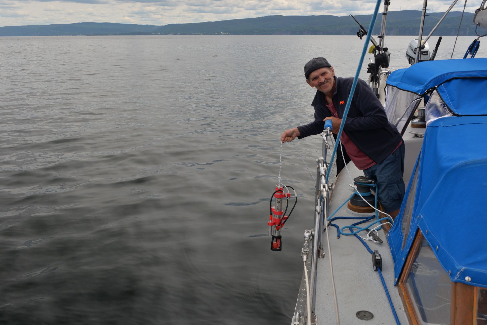
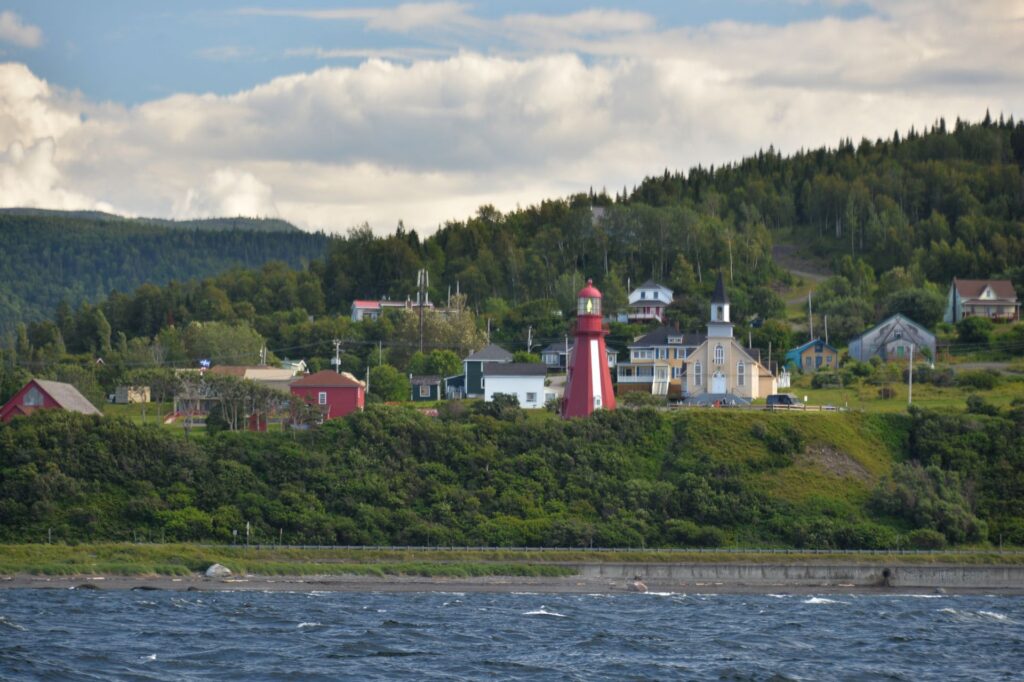
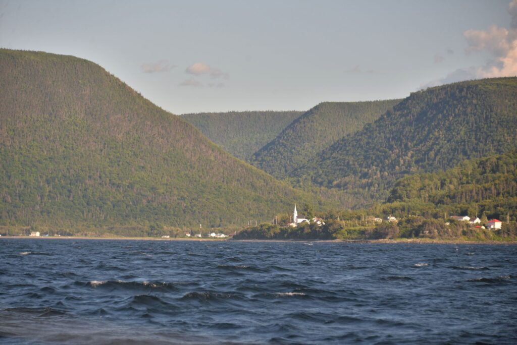
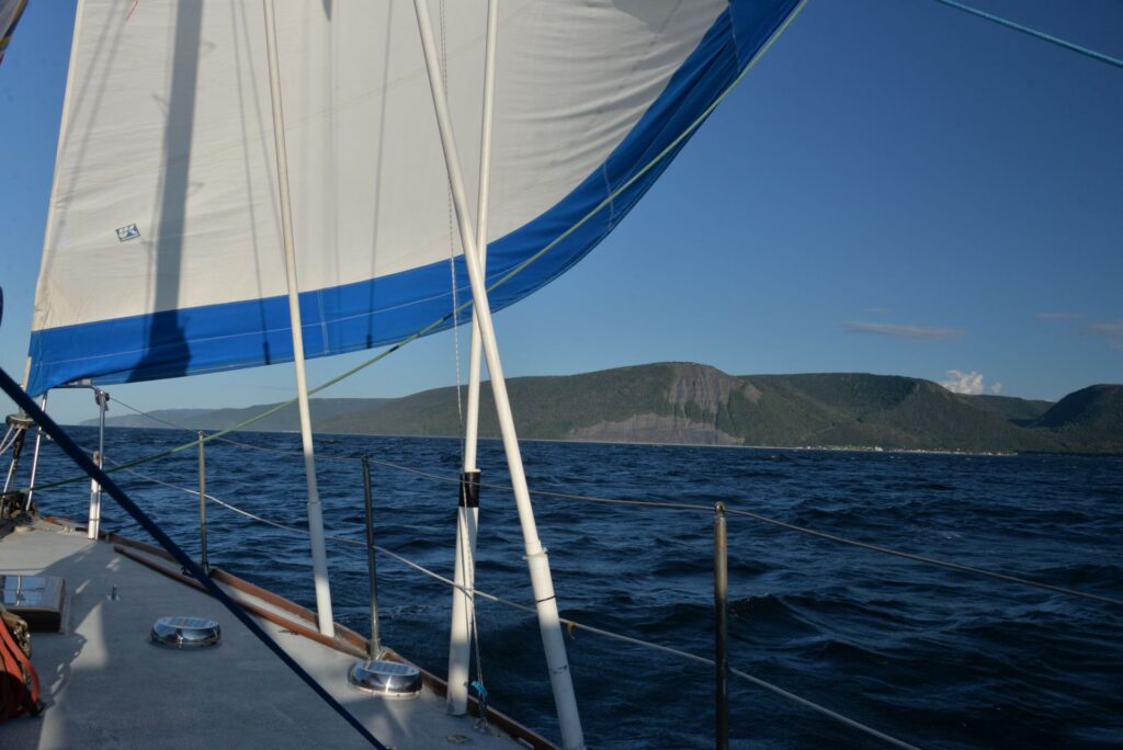
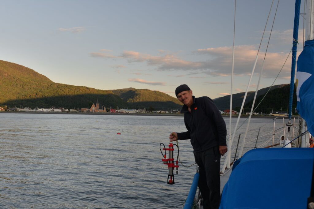
By the will of fate, wind and waves we ended up in a small fishing village with the strange name of Cloridorme. This name is very different from other Quebec villages, which mostly include the name of saints or natural phenomena. Googling the name, I found out that the name is associated with the first settlers in this area, who were British from the Jersey Islands. But before we reached this village, something that could happen happened – the engine did not start. We tried to enter the bay on sails and anchor, which was quite difficult with the following wind and high waves, we made one attempt when we saw a sailboat that came out of the bay towards us. They offered us help in towing to the harbour and we gratefully agreed. It was already dark when we docked and met our Good Samaritans – a family of 4 (not counting the dog) – Alain, Judy and their two teenage daughters, who were returning home in Quebec City on their sailboat “First Look” after sailing to New Brunswick. The next day (heh, my 64th Birthday!) was incessant torrential rain and we spent it on the well-protected cockpit of the sailboat, chatting with friends, responding to congratulations – in the evening we ordered seafish food at a nearby restaurant to take away and celebrated this event on our sailboat in the company of our new friends.
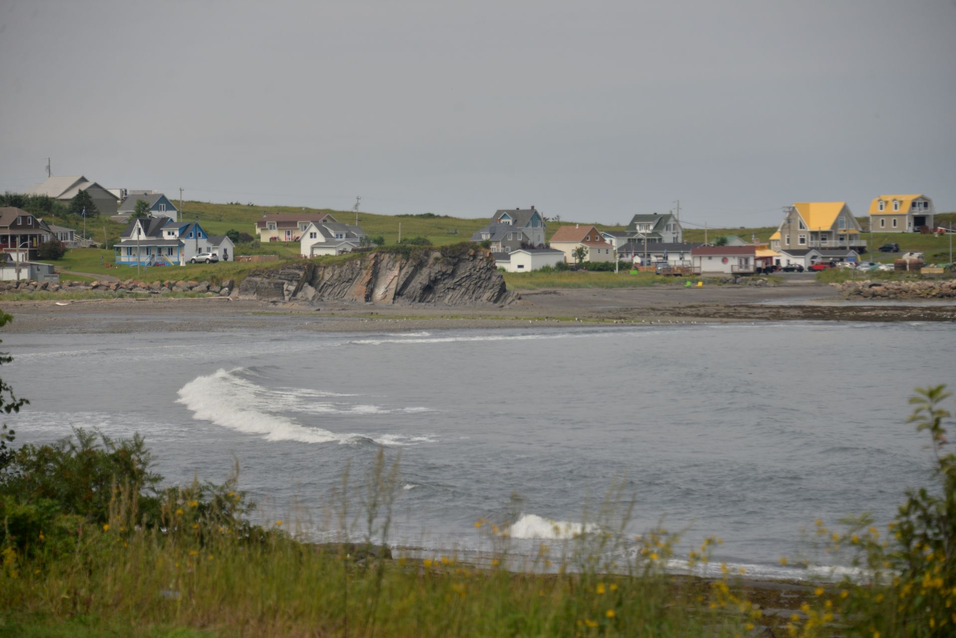
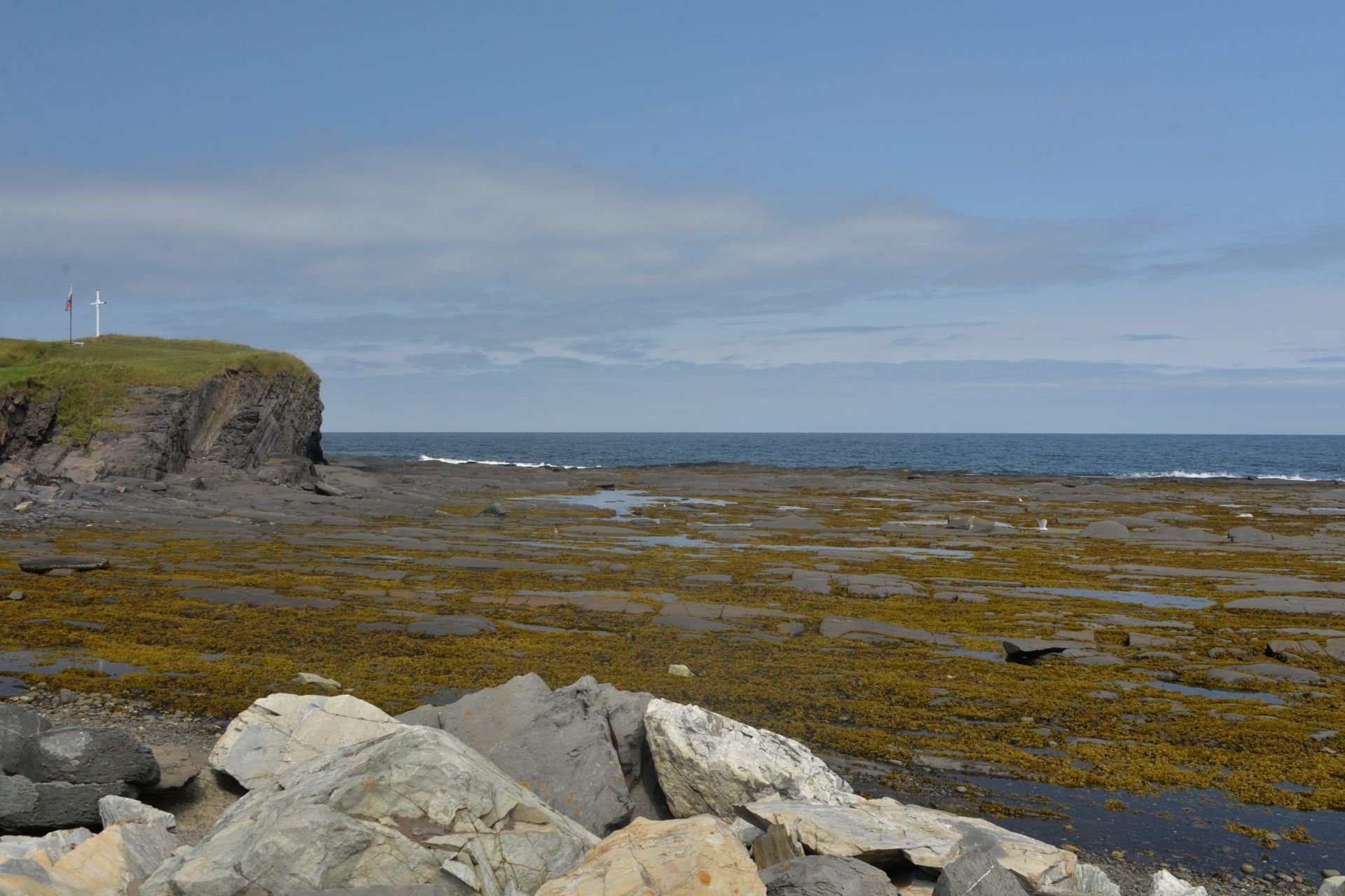
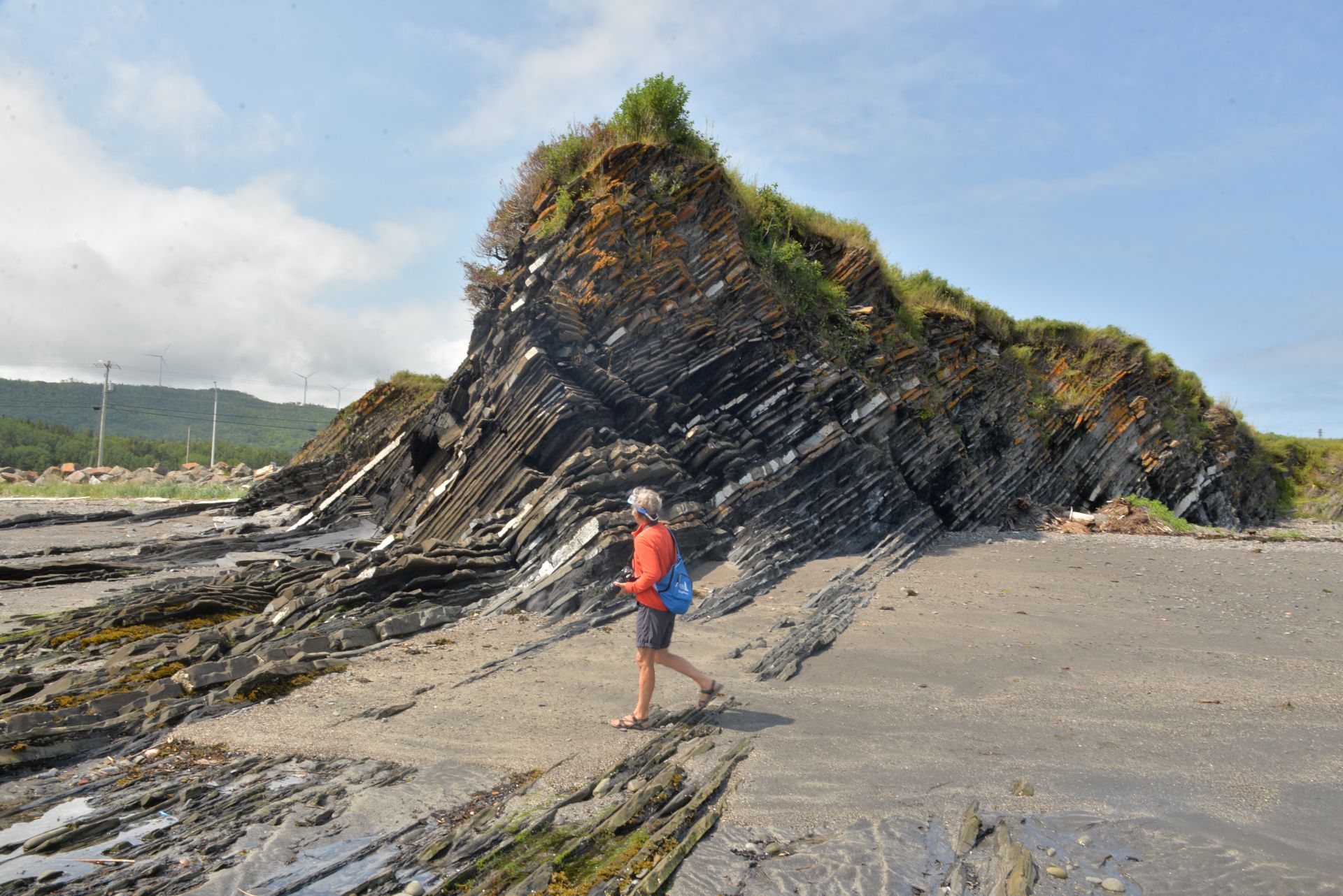
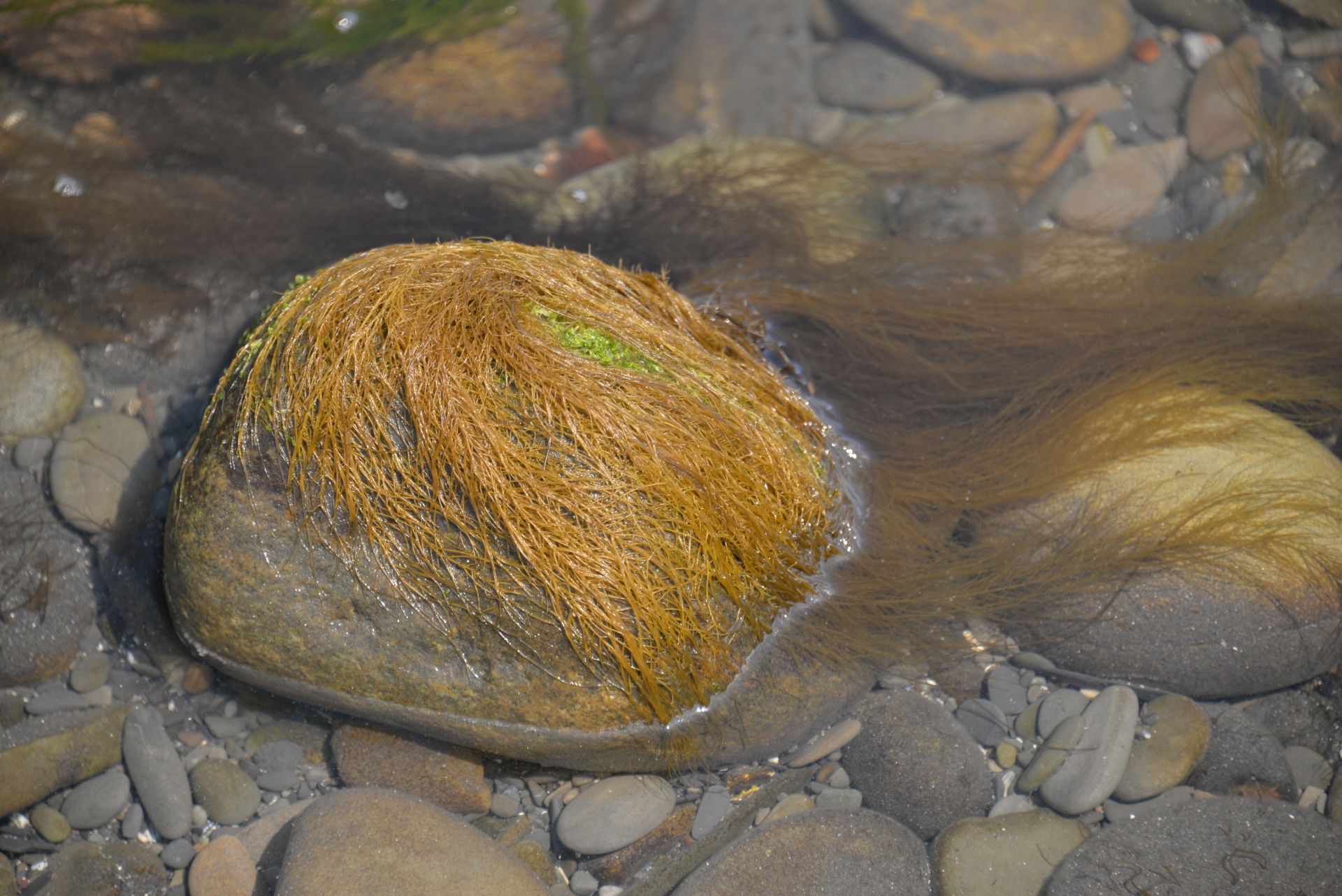
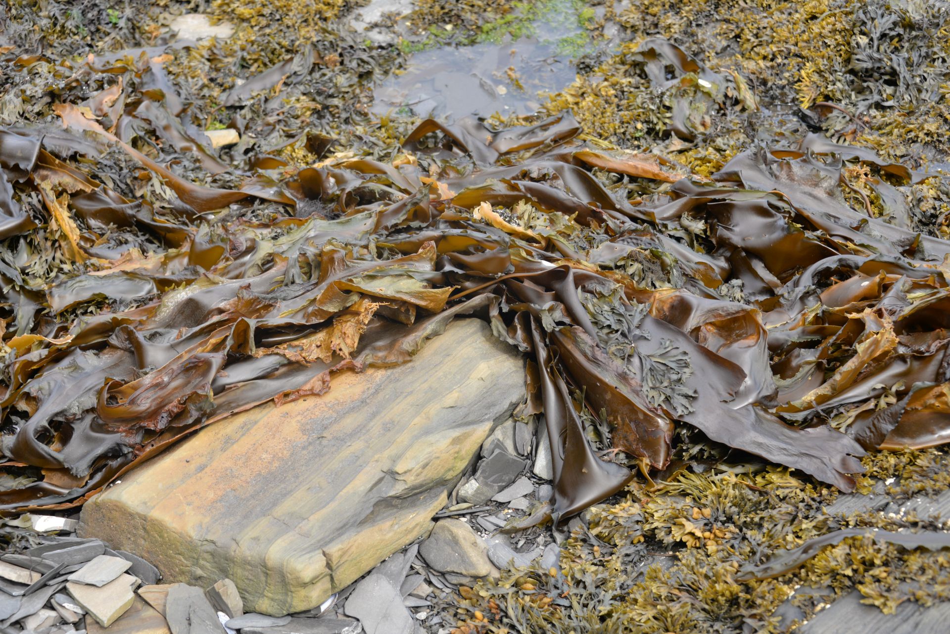
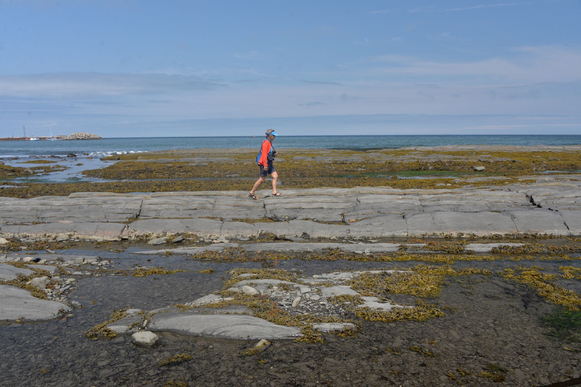
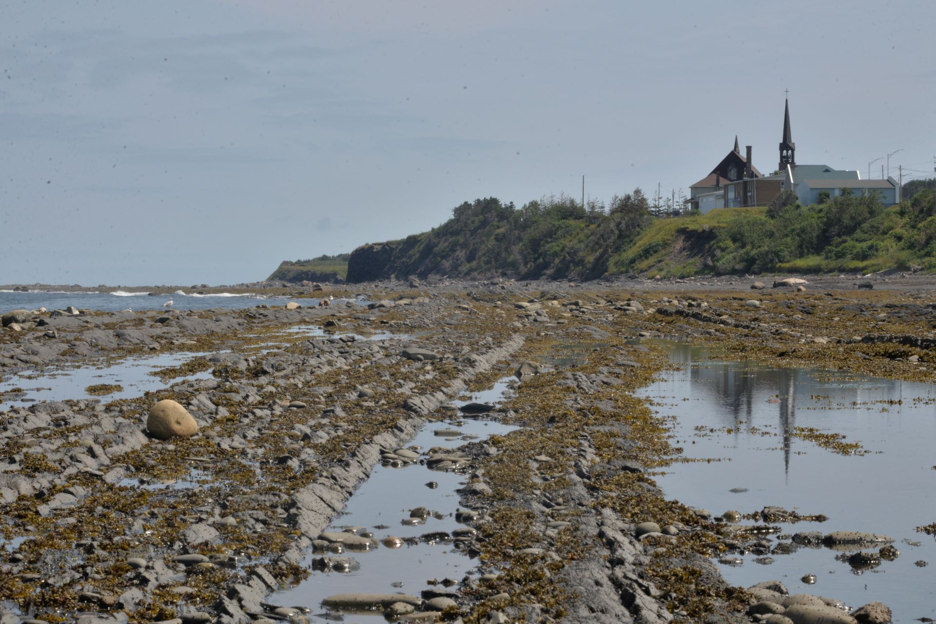
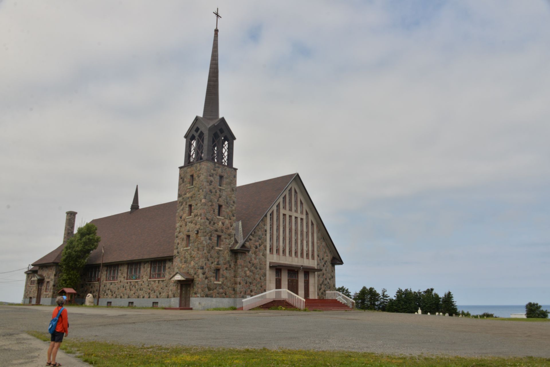
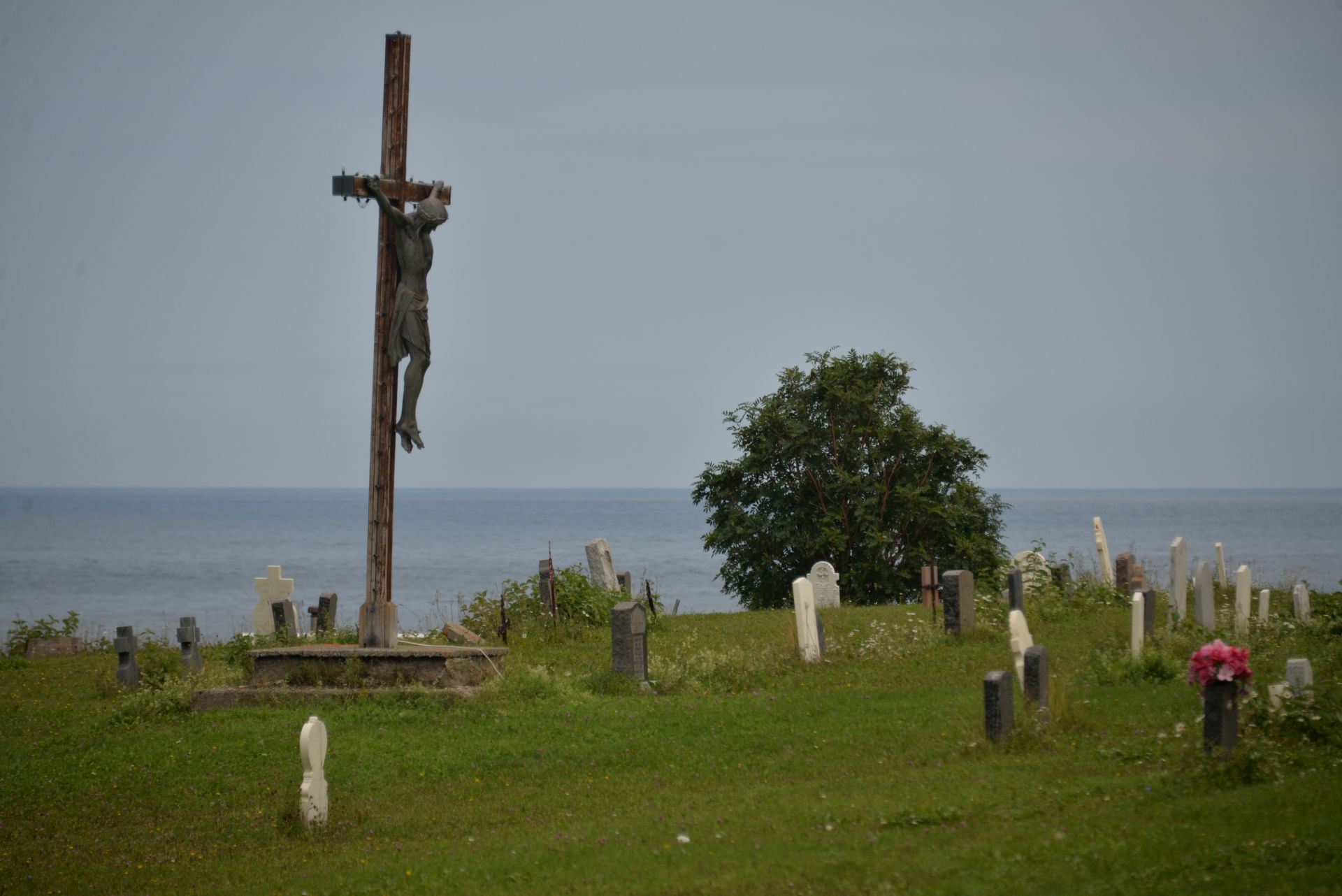
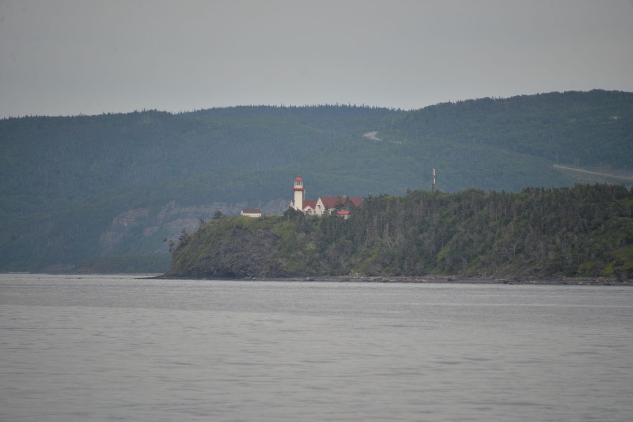
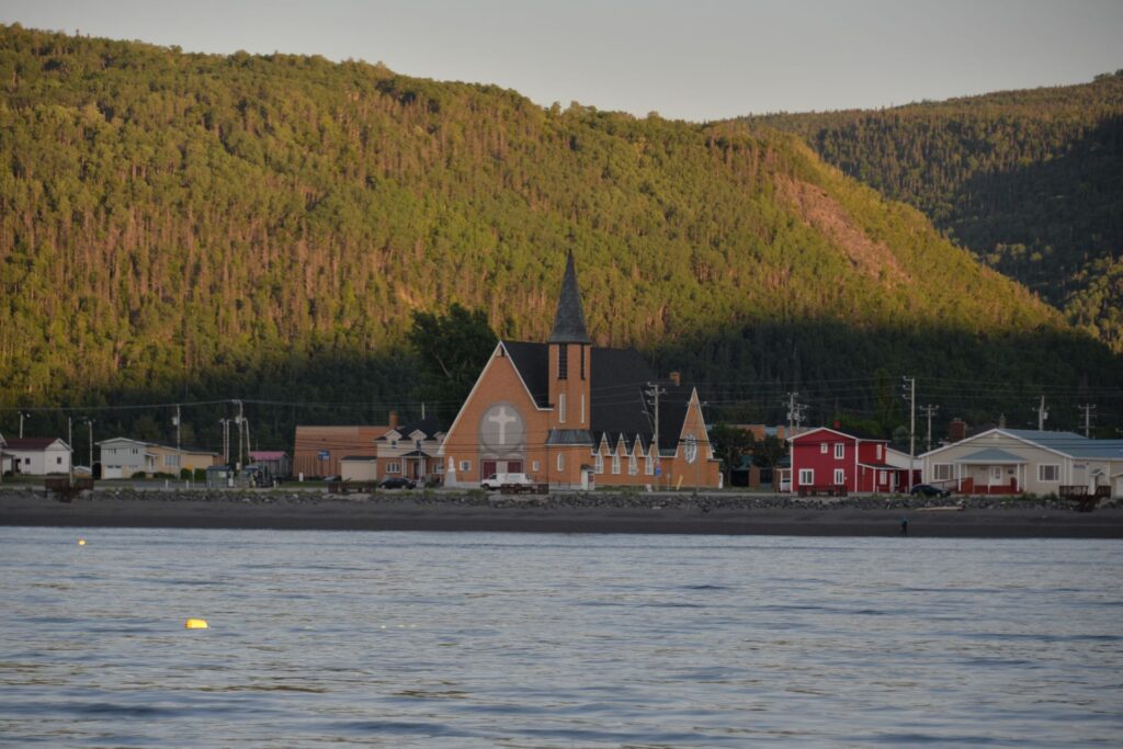
The mechanic, recommended by the harbourmaster, arrived on Sunday morning and determined that the solenoid and possibly the starter had burned out. He went in search of the solenoid, promising to arrive the next day. The weather was sunny and warm – we got out for a walk along the intertidal shore, looking at the wonderful structure of the rocks and observing the wildlife. Iryna suggested looking over the cape, and we reached it, finding there an original stone church with an old cemetery.

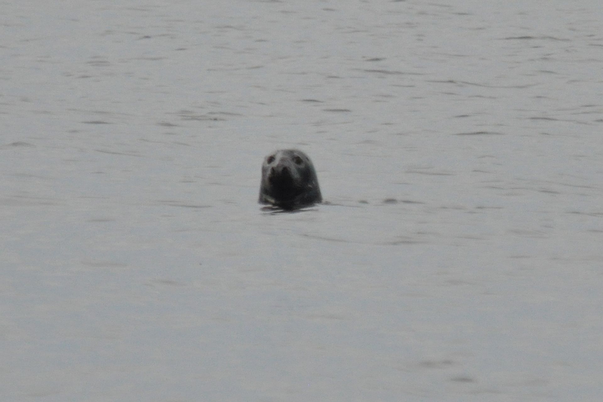
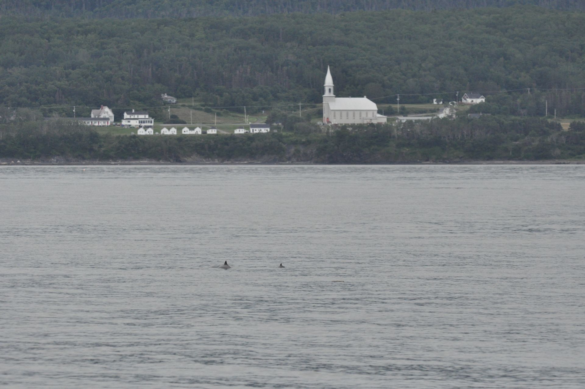
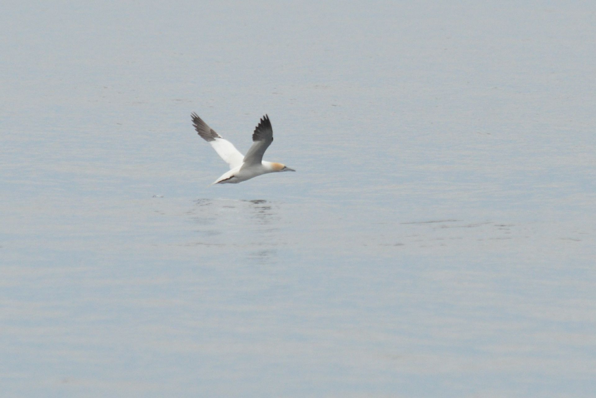
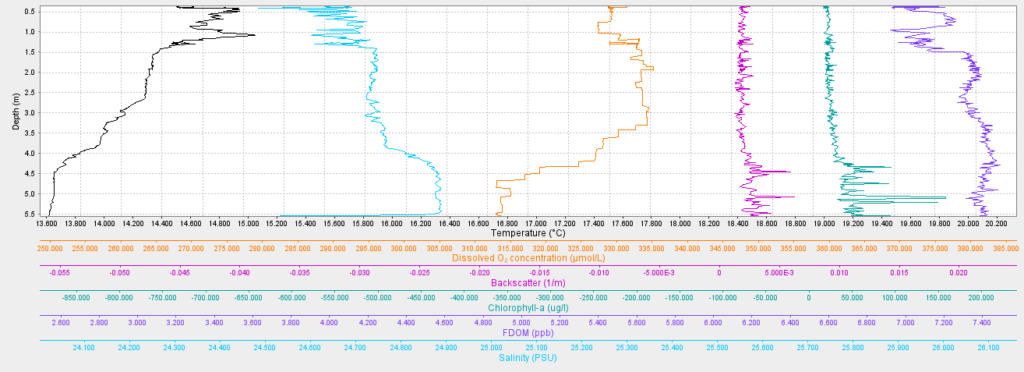
I left birdwathcing part of the post to Iryna.

Welcome to Cloridorme!
Docking in the fishery harbour
Cloridorme Bay
Fishing ships and Oceanolog
Low tide rocks
Intertidal ponds
Geosynclinal formations
Geometry of rocks
Look up!
Hairing rocks
Still wet
Barnackles on rocks
Kelp
Walking on the low tide rocks
Reflections
Bathing Seagulls
Signpost
Red rocking chair
Old warehouse
Church of St. Cecilia
Old cemetery with seaview – RIP

Cap de la Madeleine

Leaving Saint-Maxime-du-Mont-Louis, we set sail for the next leg of our voyage, but due to the low wind we made adjustments. For the first time we rised the main sail and practiced tacking in the tidal current, observing the wildlife around us – gray seals, dolphins and the Northern gannets that began to appear. But most importantly, we were able to make an oceanographic section from 4 casts on the traverse of Cap de la Madeleine. Despite the rather strong drift of the CTD measuring system under the conditions of tidal currents, we reached a depth of 30-50 m, finding the depth of the thermo- and haloclines at a depth of 25 m.

In full sails for the first time !
Rare view of calm waters in the Gulf of St.Lawrence
Hello!
Dolphines and church
Northern Gannet
Iryna trying a self-made Lazzy Jack
Doing oceanographic cross-section
Cap de la Madeleine Lighthouse
Silver reflections
50m CTD cast with well seen thermo- and haloclines.

Saint-Maxime-du-Mont-Louis

After a two-day anchorage at Sainte-Anne, waiting for good weather and working on the boat (it always keeps you busy!), we entered the next leg of our voyage along the beautiful mountainous coasts of the Gaspé Peninsula. After 33 miles of sailing, we reached Saint-Louis Bay, where the village of Saint-Maxime-du-Mont-Louis is located. Above the village is the 455m high Mount St. Louis, named after the French King Louis IV, who ruled at the end of the 17th century, when the first settlers from France established their post here.

Sailing under the jib with a good west wind
La Martre de Gaspé Lighthouse
A small village with a church nestles on the shore
Approaching Saint-Maxime-du-Mont-Louis
Sain-Maxime Church and Saint-Louis Mount give the name for the village
CTD cast in the Anse de Mont-Louis
The plot of CTD cast in a low tide