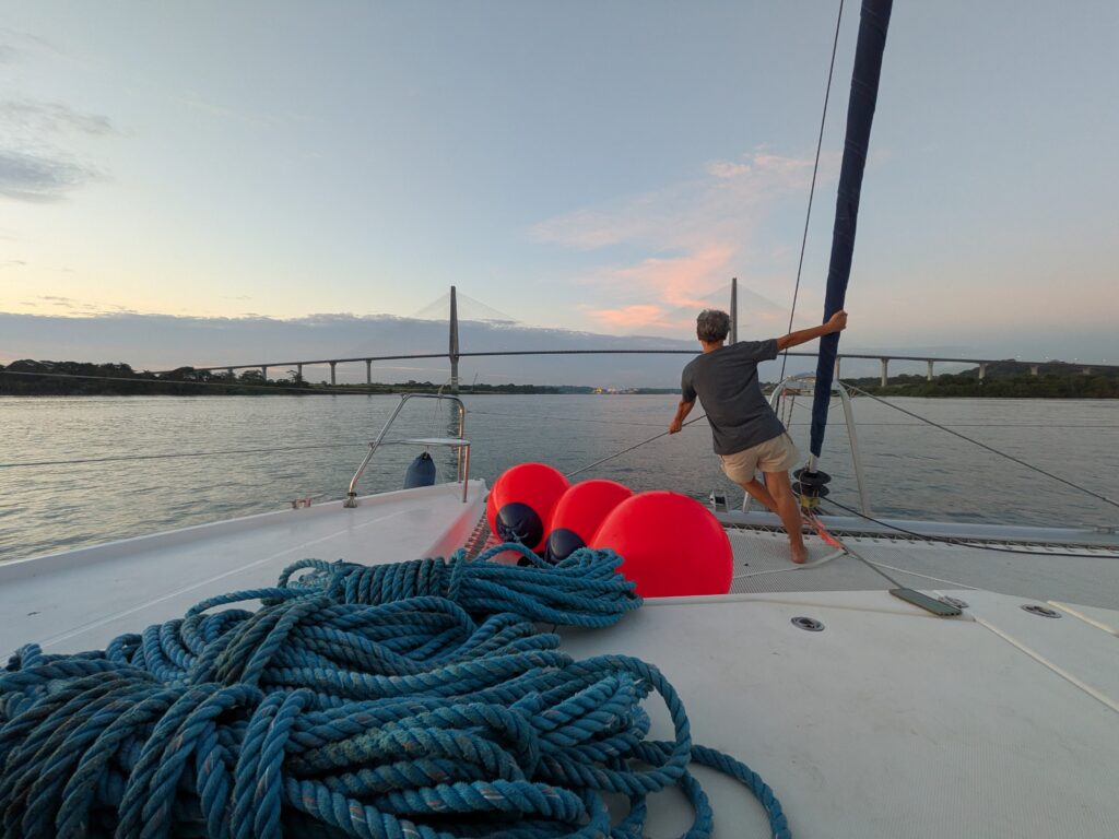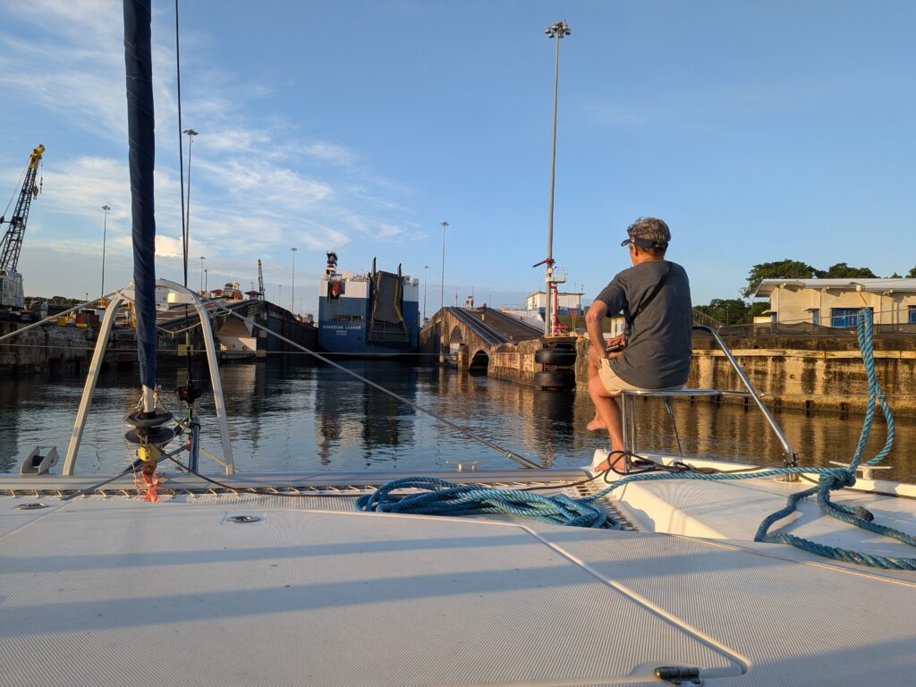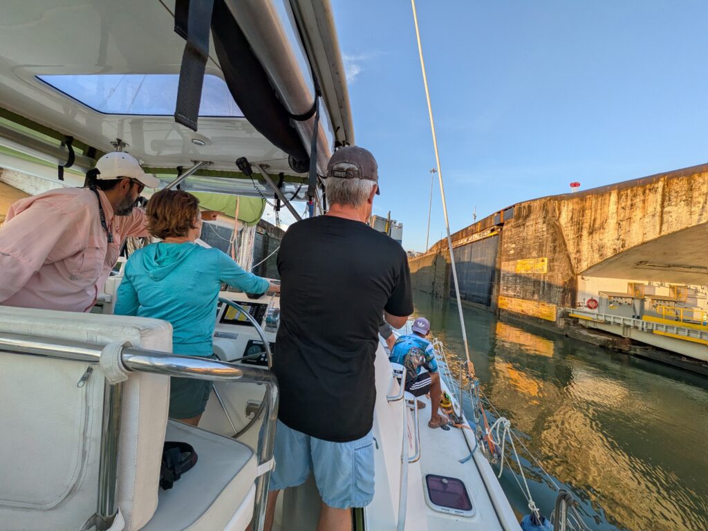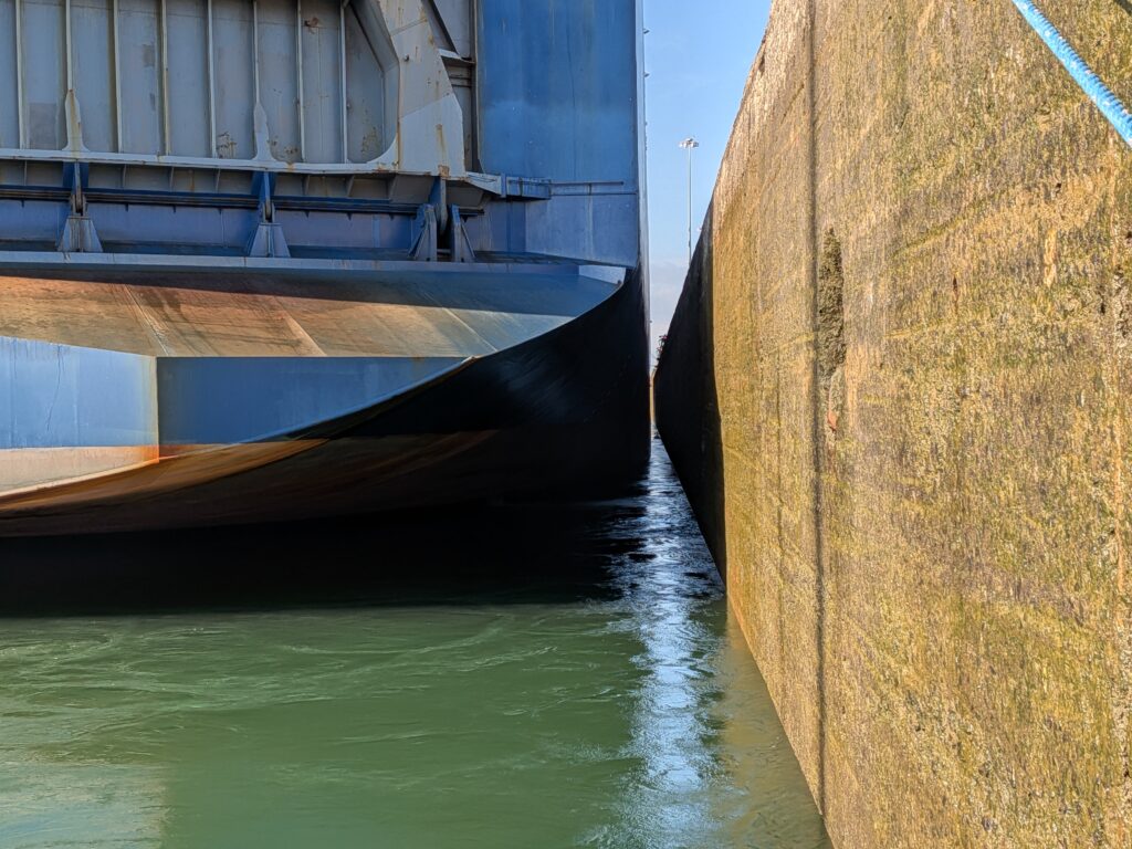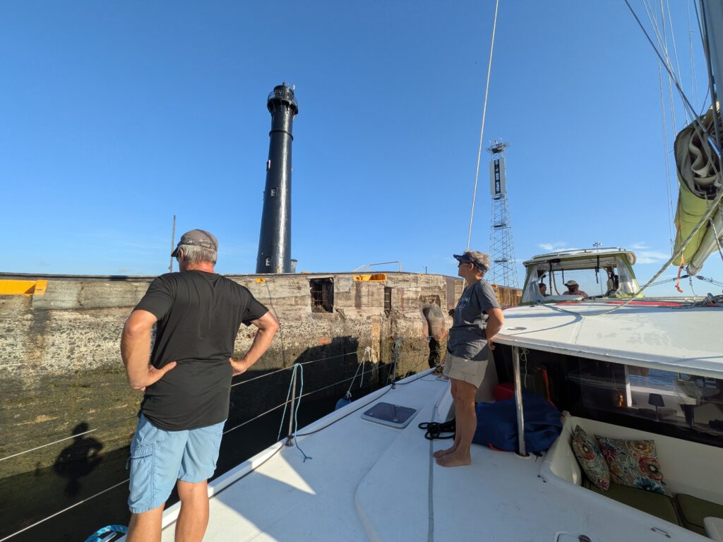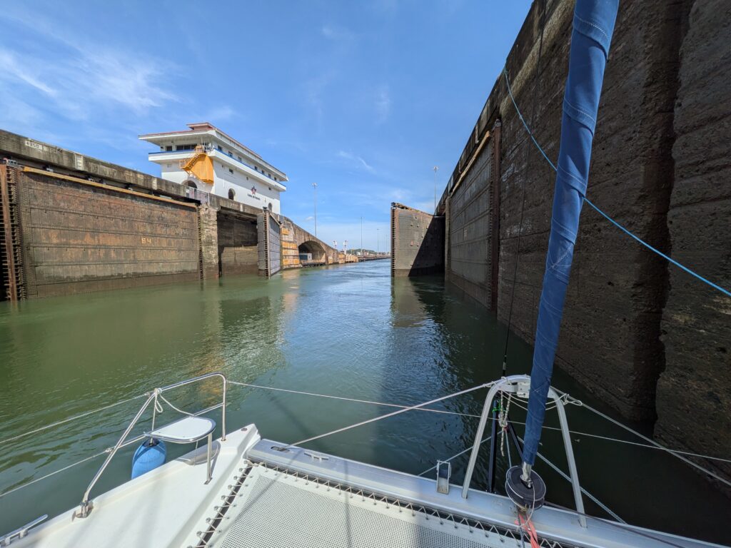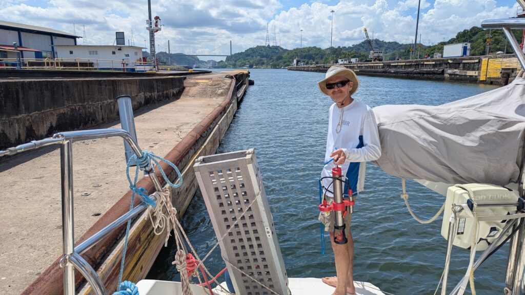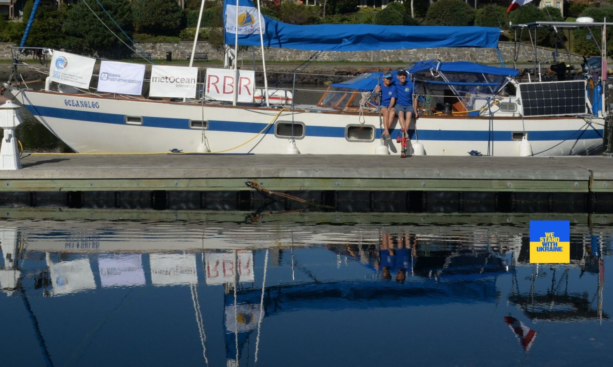

Living aboard a sailboat and sailing more than 7,000 nautical miles from Canada to the Caribbean has given us a unique perspective on a little-known community: people who have chosen a sailboat as their home.
According to various estimates, the global liveaboard sailing community numbers around 20,000 people—roughly the population of a small island nation. Yet while governments and NGOs devote significant attention and resources to the sustainability and resilience of island communities, I have yet to encounter a single program focused on these wandering mariners, whose lives are constantly shaped by the challenges of the sea, natural disasters, and the security of their floating homes.
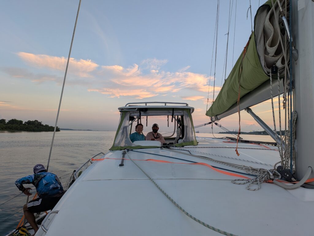
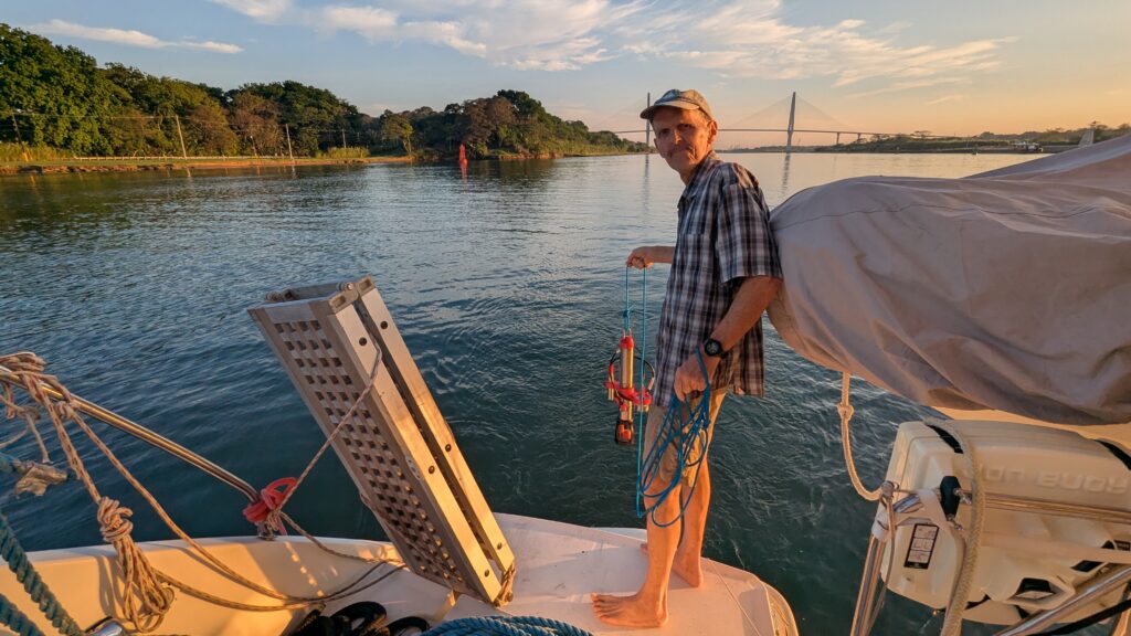
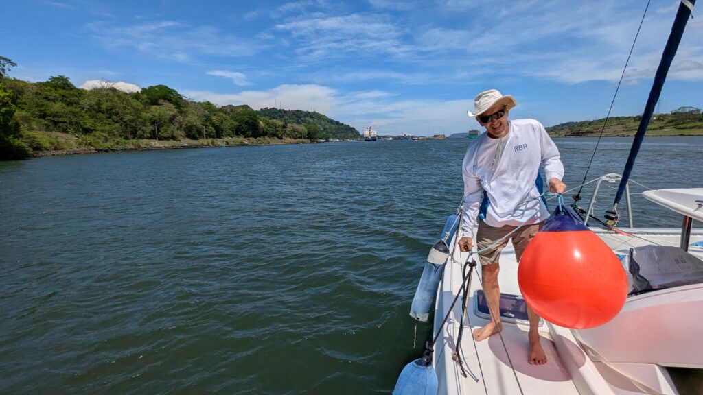
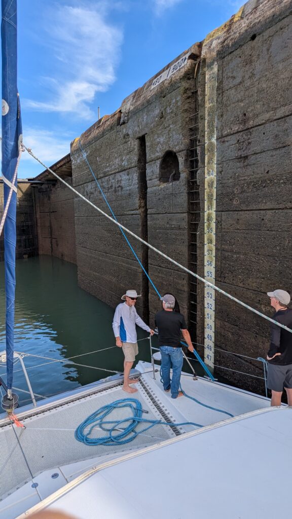
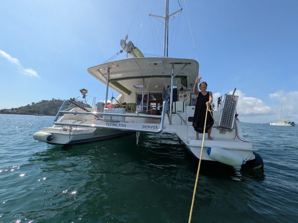
What does the general public really know about them? Apart from those who follow sailing YouTube channels, blogs, and adventure books, not much. Liveaboard sailors rarely attract the attention given to elite racers competing aboard million-dollar yachts. More often, their vessels are well-loved 30- to 50-year-old boats—sometimes even older (our Oceanolog recently celebrated her 60th birthday!)—equipped with a forest of solar panels, wind generators, antennas, and the occasional ingenious homemade modification.
Life afloat is difficult to understand unless you have experienced it yourself. After two years of living aboard, we have reached one clear conclusion: liveaboard sailors are among the most environmentally friendly people on the planet.
Their carbon footprint is remarkably small. They live in spaces no larger than a typical living room. Most sail primarily under wind power. Electricity comes from the sun and the wind. Air conditioning and heating are often luxuries rather than necessities. They do not commute by car, fly infrequently, and think carefully before every purchase—there is simply no room on board for unnecessary possessions.
But their contribution extends beyond minimizing consumption. Wherever they travel, sailors support local economies. They dine in local restaurants, buy seafood directly from fishermen, purchase fruits and vegetables from local farmers, and hire local tradespeople when repairs are needed. In many regions, cruising sailors provide a steady source of income for coastal communities.
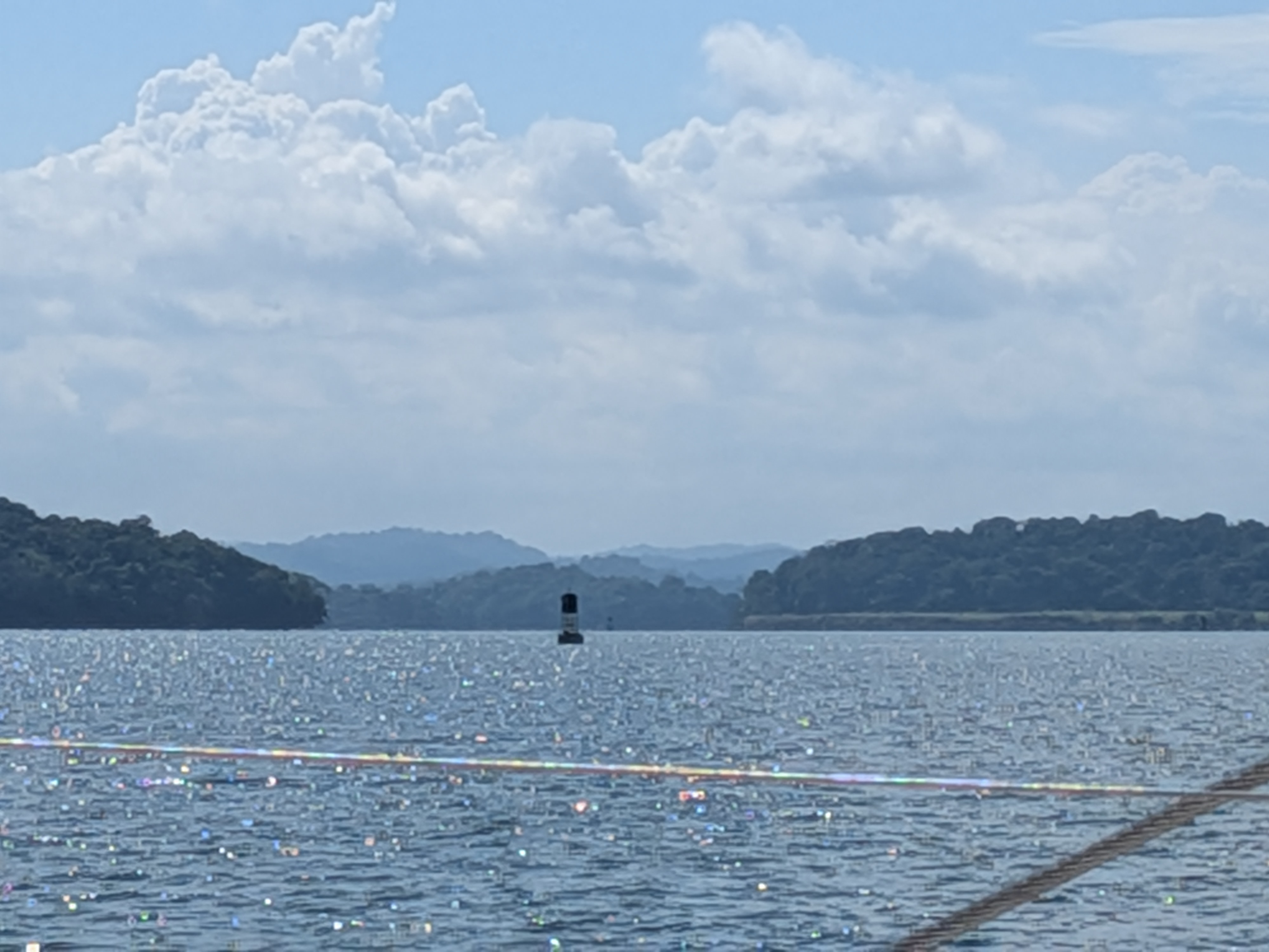
They are also highly exposed to natural disasters. Hurricanes, storms, and flooding affect sailors and coastal residents alike. Yet time and again, we have seen cruising sailors among the first to assist local communities after disasters, volunteering their labor, equipment, transportation, and supplies.
Perhaps most impressive are the communities they create.
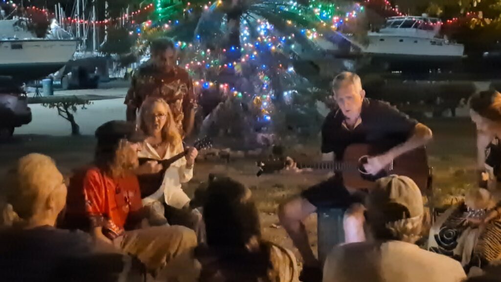
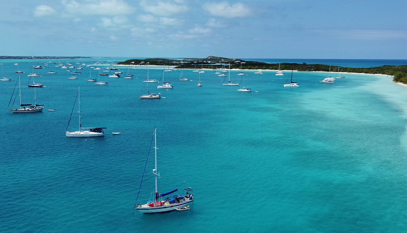
In anchorages, marinas, and boatyards around the world, sailors build vibrant social networks. WhatsApp groups, Facebook communities, and, more recently, Starlink satellite internet have transformed communication among cruisers. Information travels rapidly, whether it concerns weather hazards, medical emergencies, spare parts, or local knowledge.
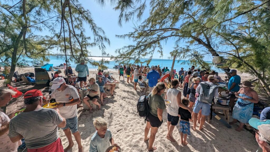
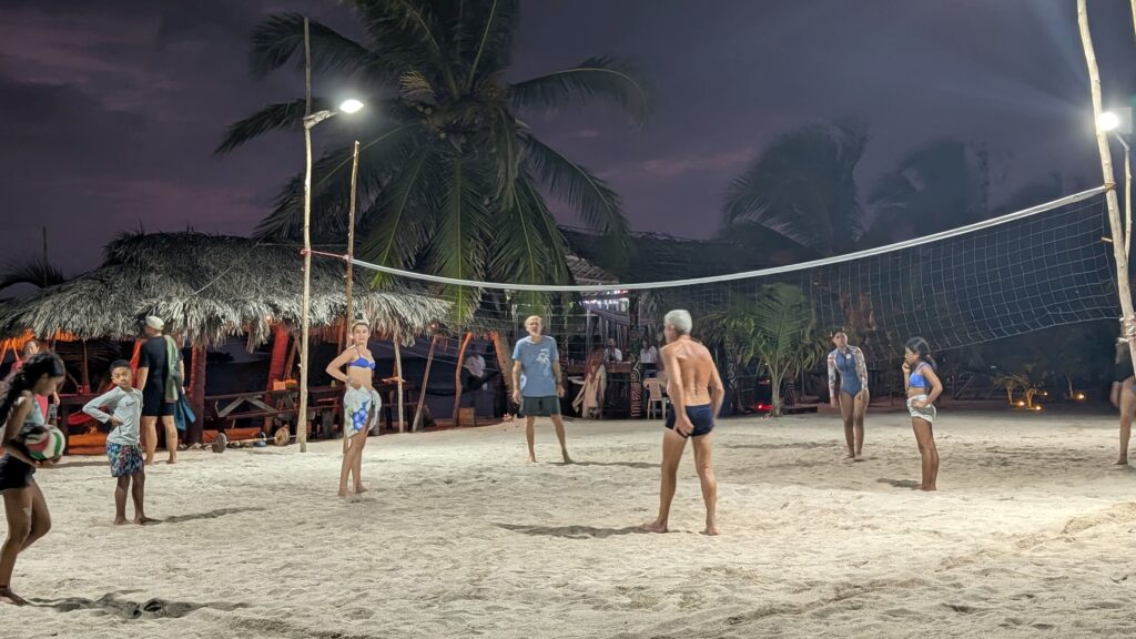
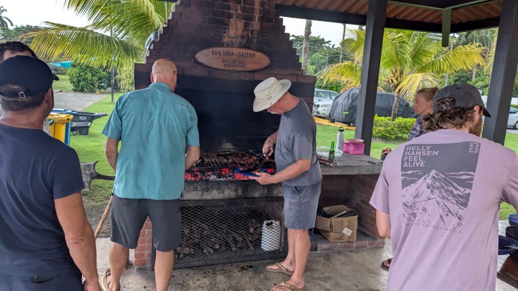
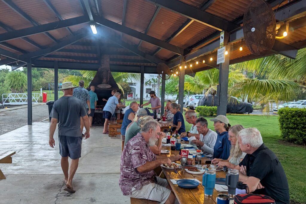
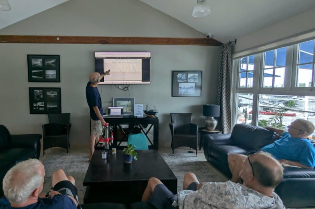
Potluck dinners, community hikes, beach cleanups, workshops, board-game nights, sports activities, and informal classes are common features of cruising life. Experienced sailors generously share their technical knowledge, helping others solve problems far from repair facilities. Spare parts are lent or gifted. Supplies are carried between countries. Visitors are welcomed. Newcomers are mentored.
These floating communities are built on camaraderie, mutual assistance, volunteerism, and a remarkable willingness to help complete strangers.
As we navigate an era increasingly concerned with sustainability, resilience, and social cohesion, perhaps it is worth paying more attention to this small, mobile society that has quietly developed many of the qualities modern communities aspire to achieve.
After all, isn’t this what sustainability and resilience are really about?