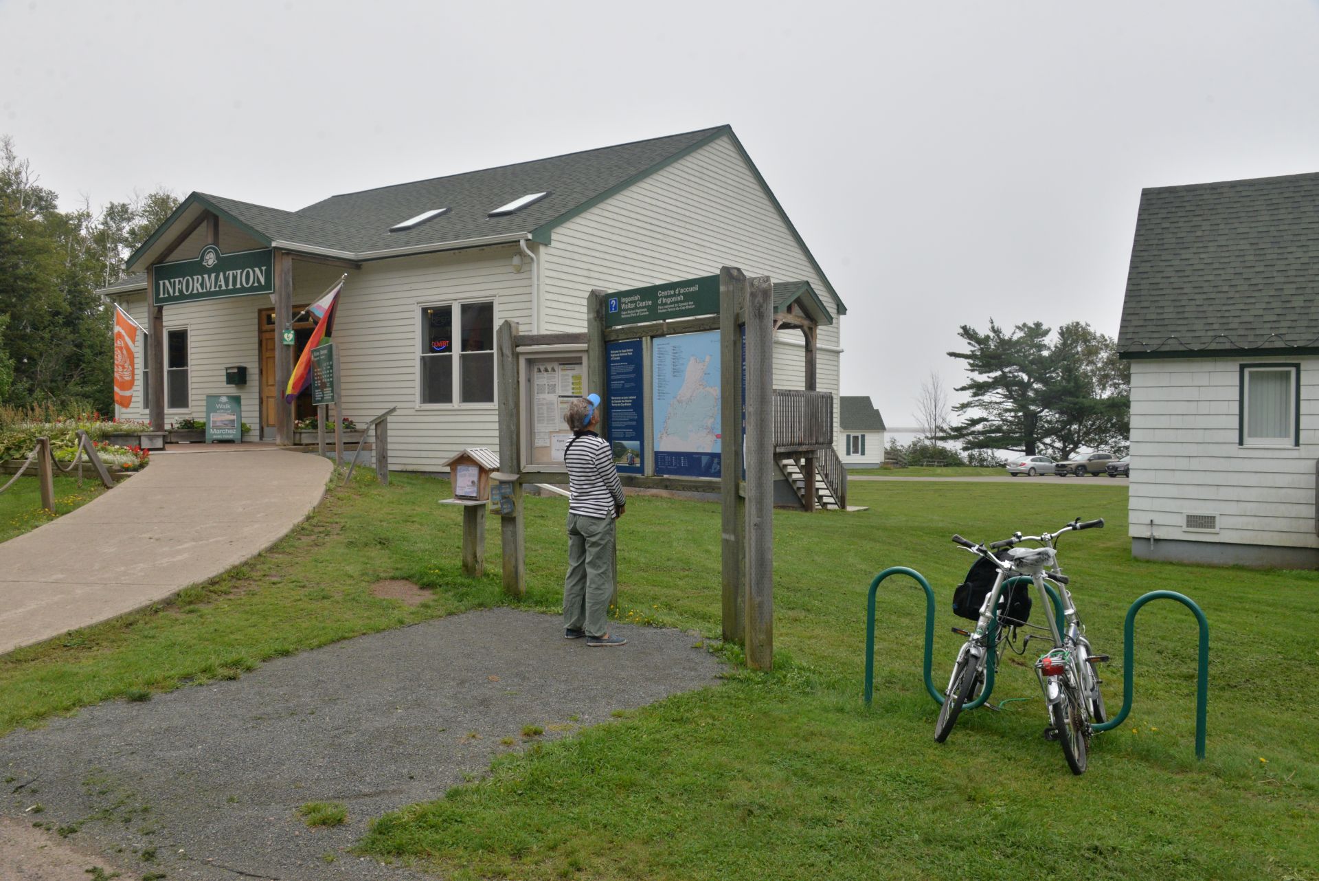
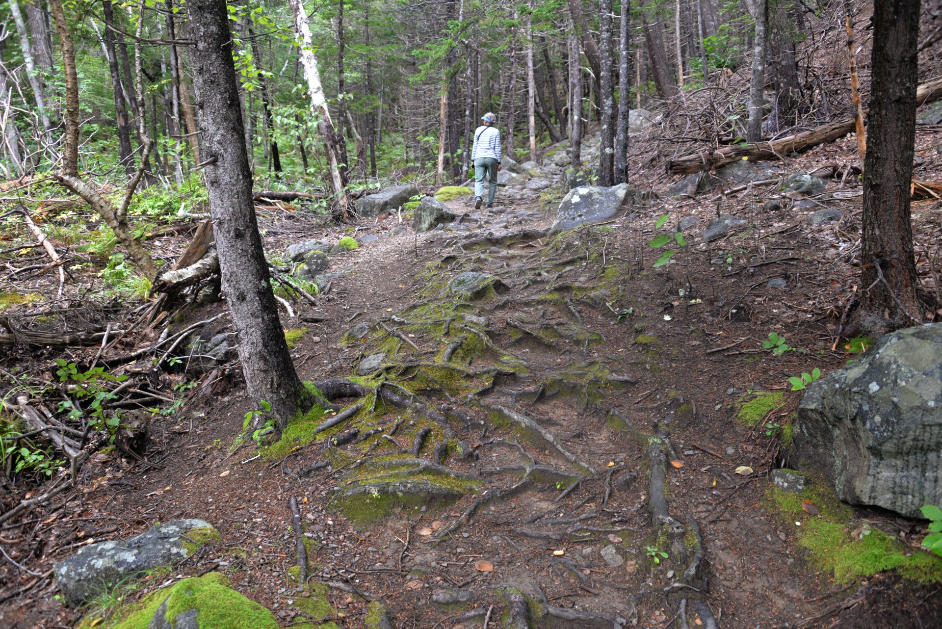
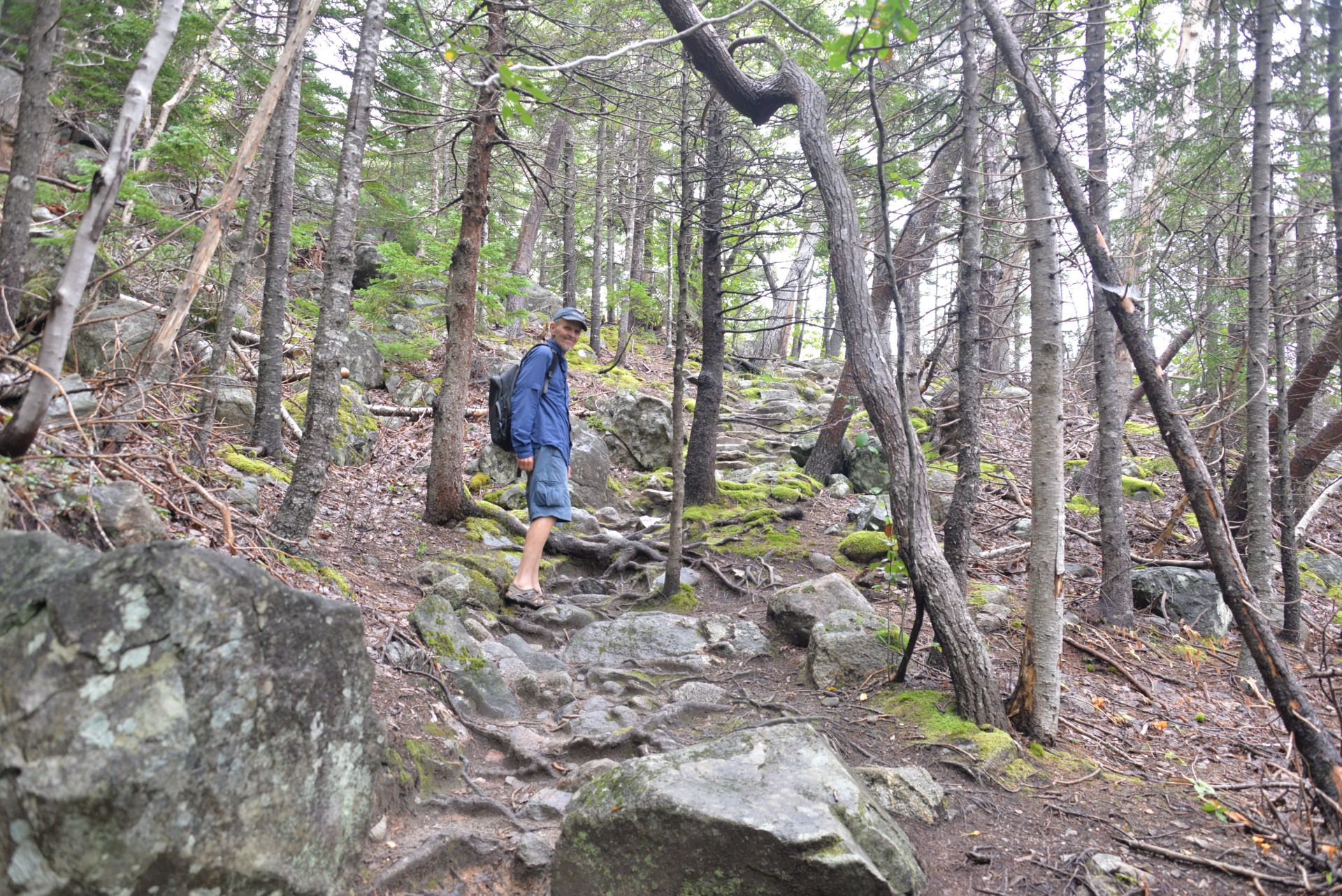
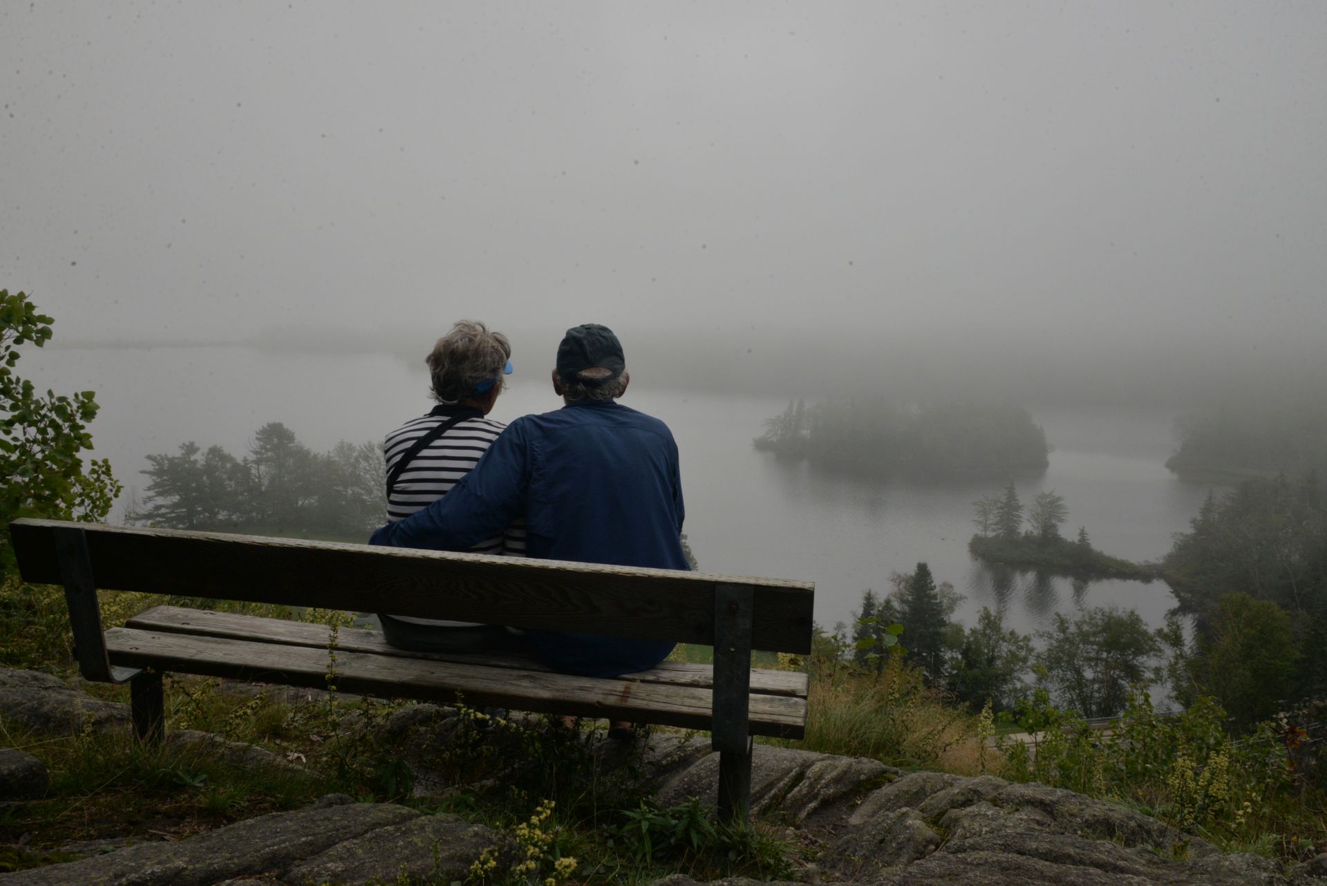
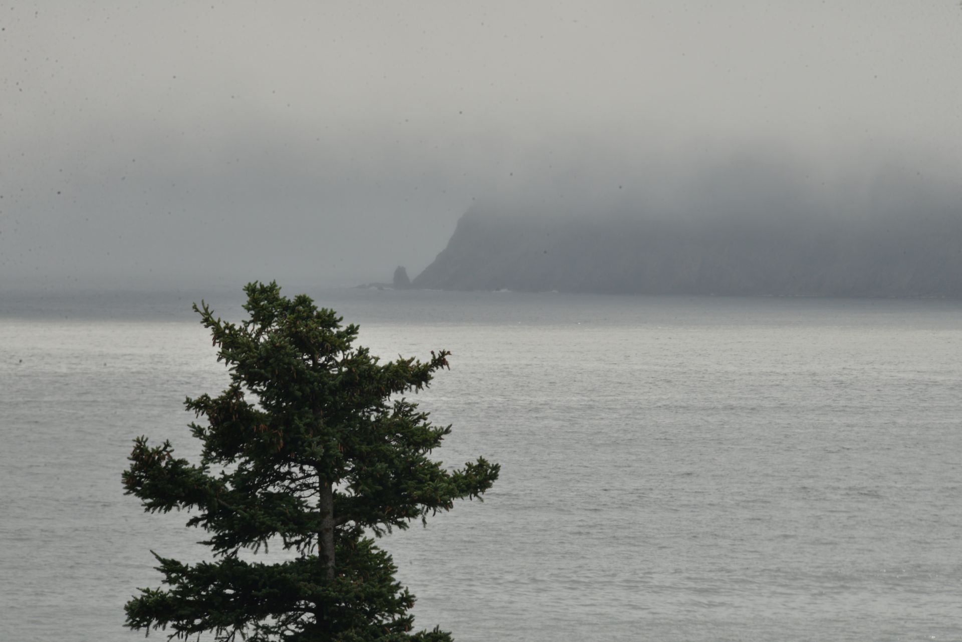
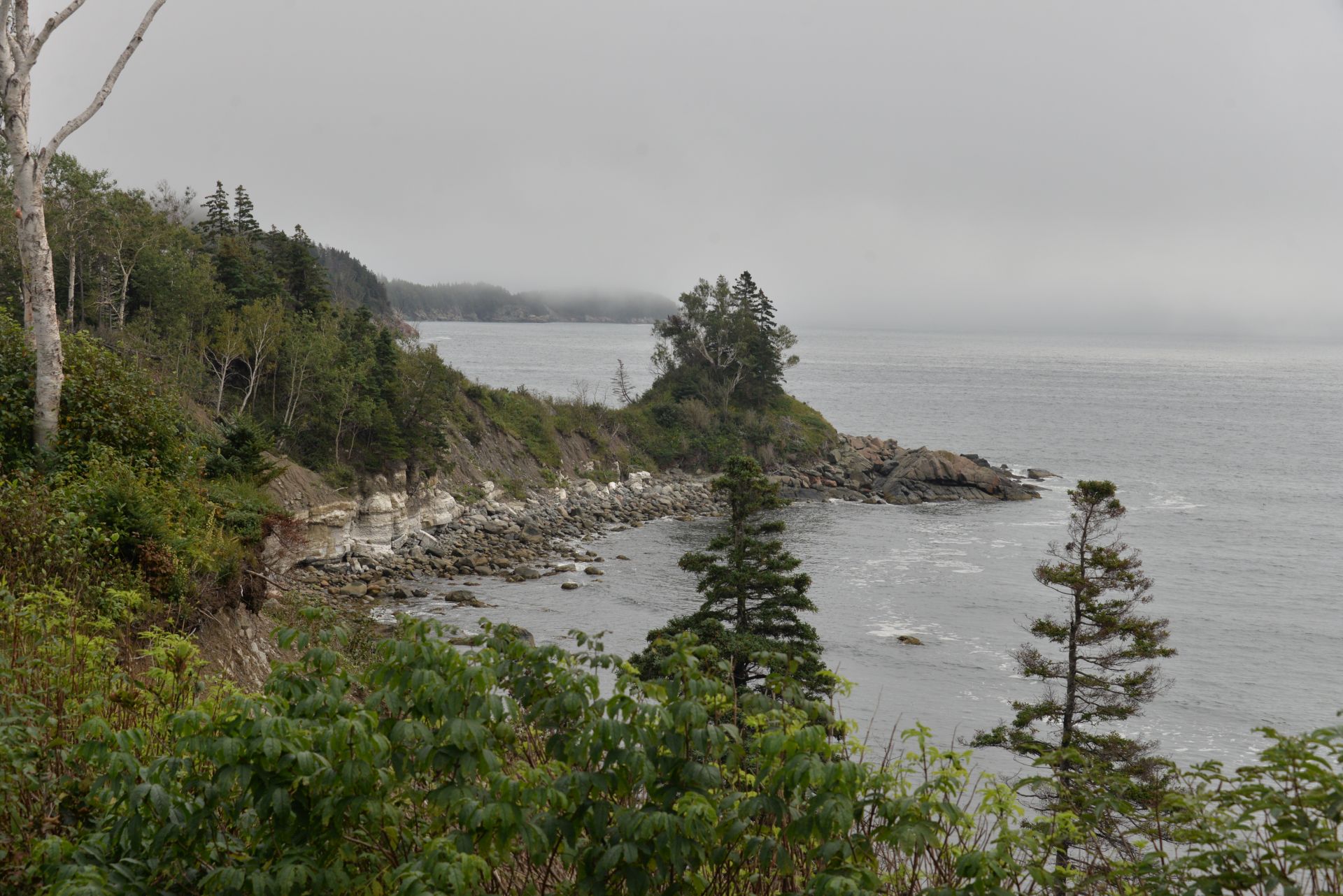
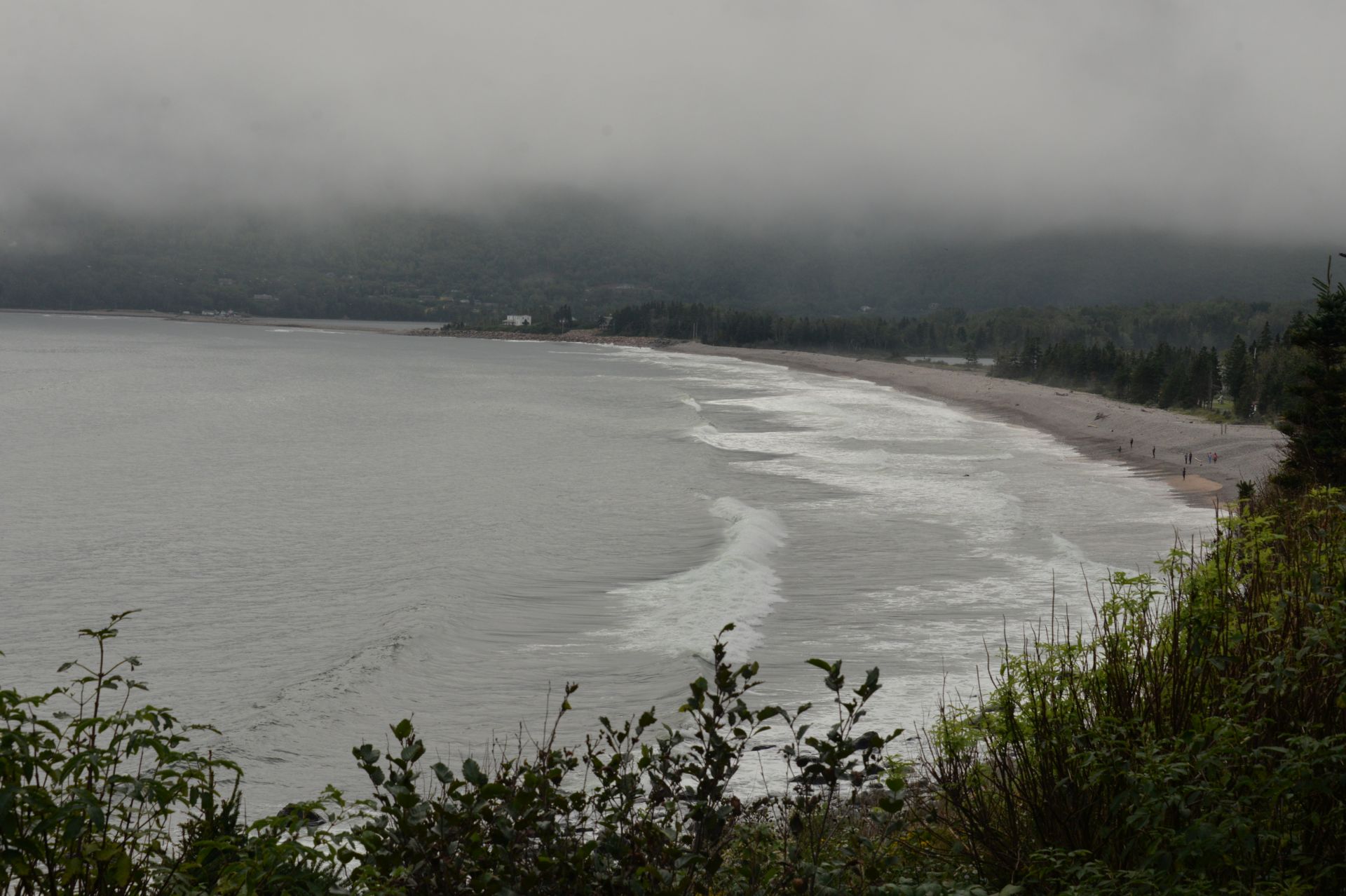
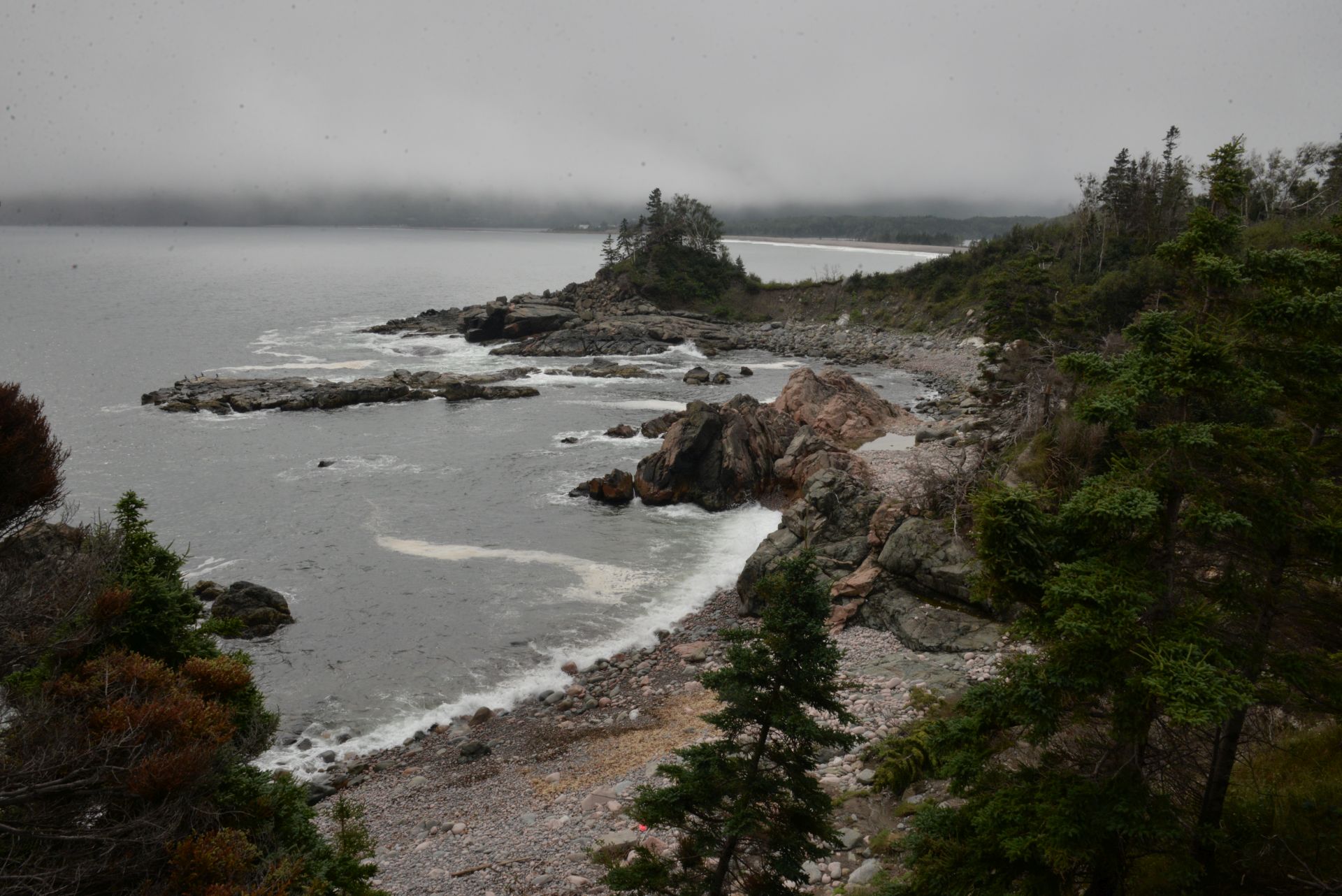
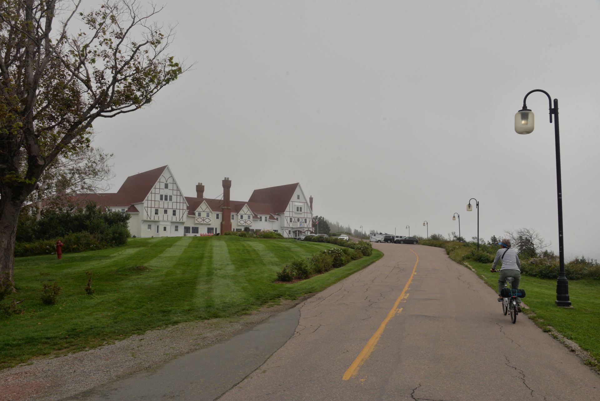
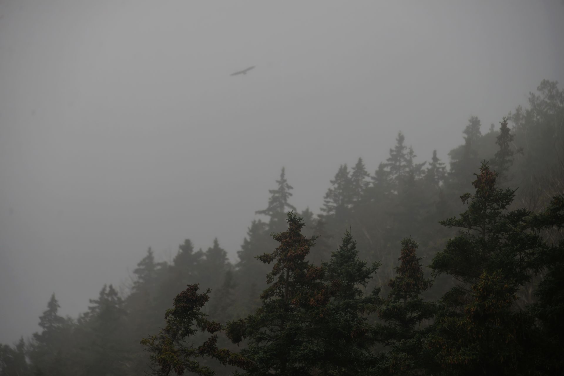
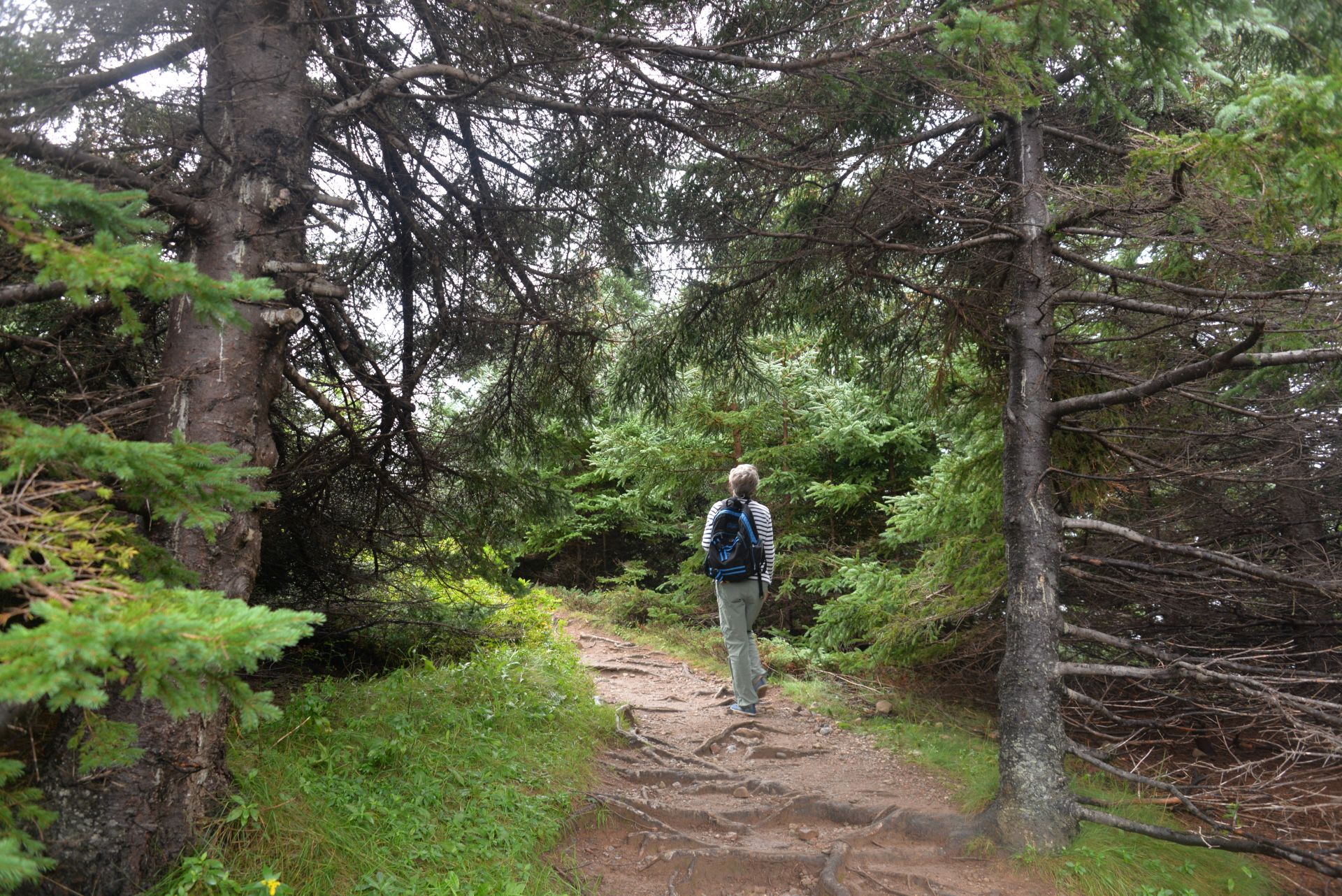
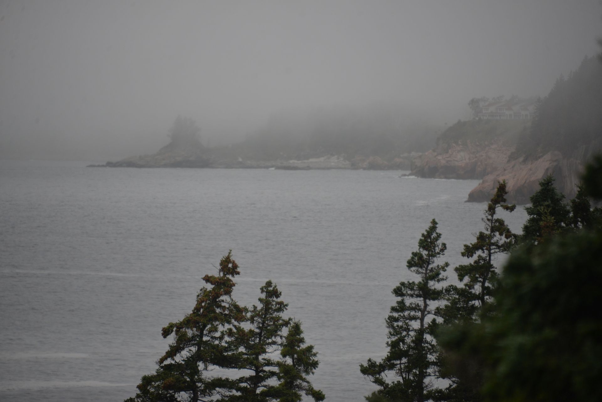
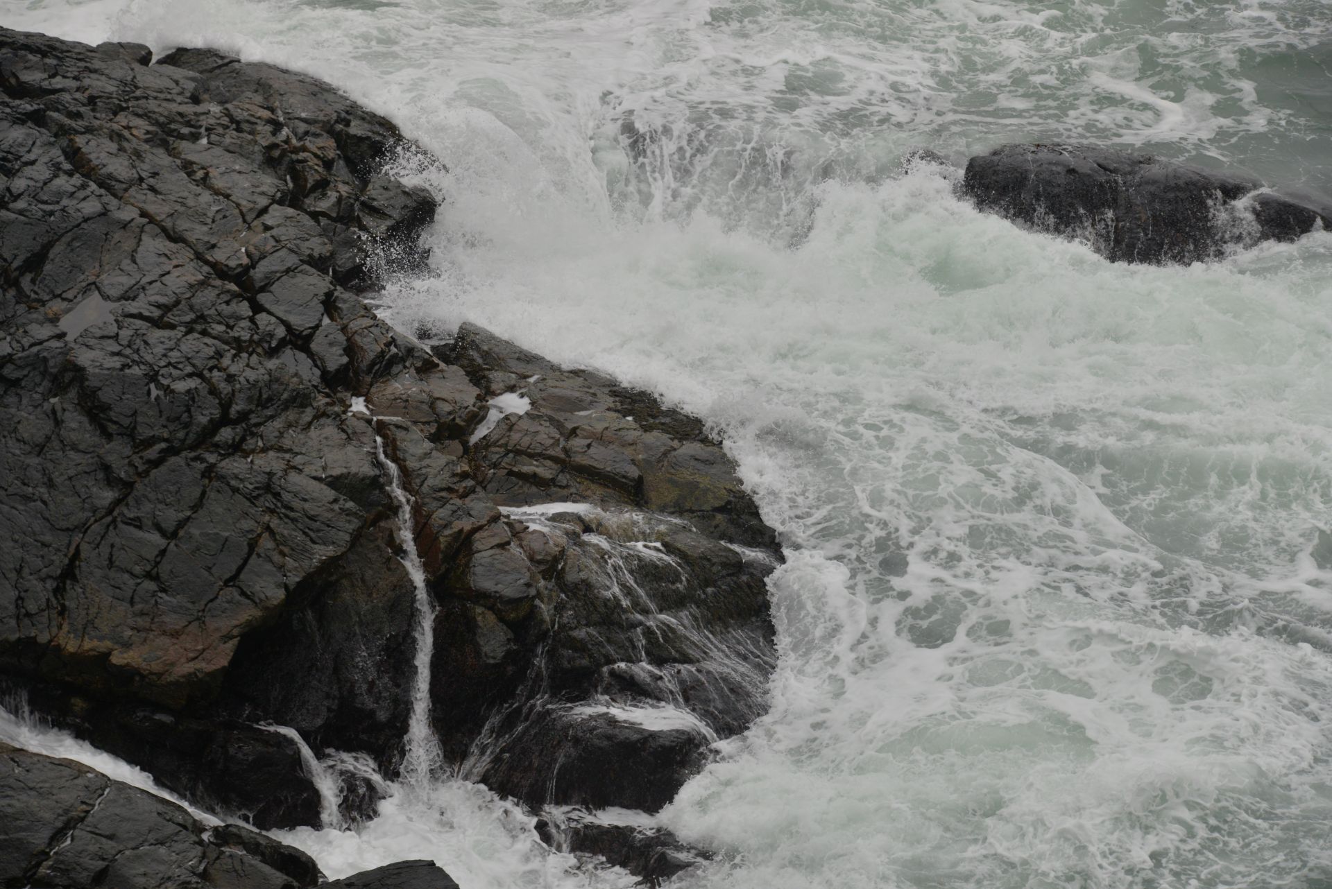
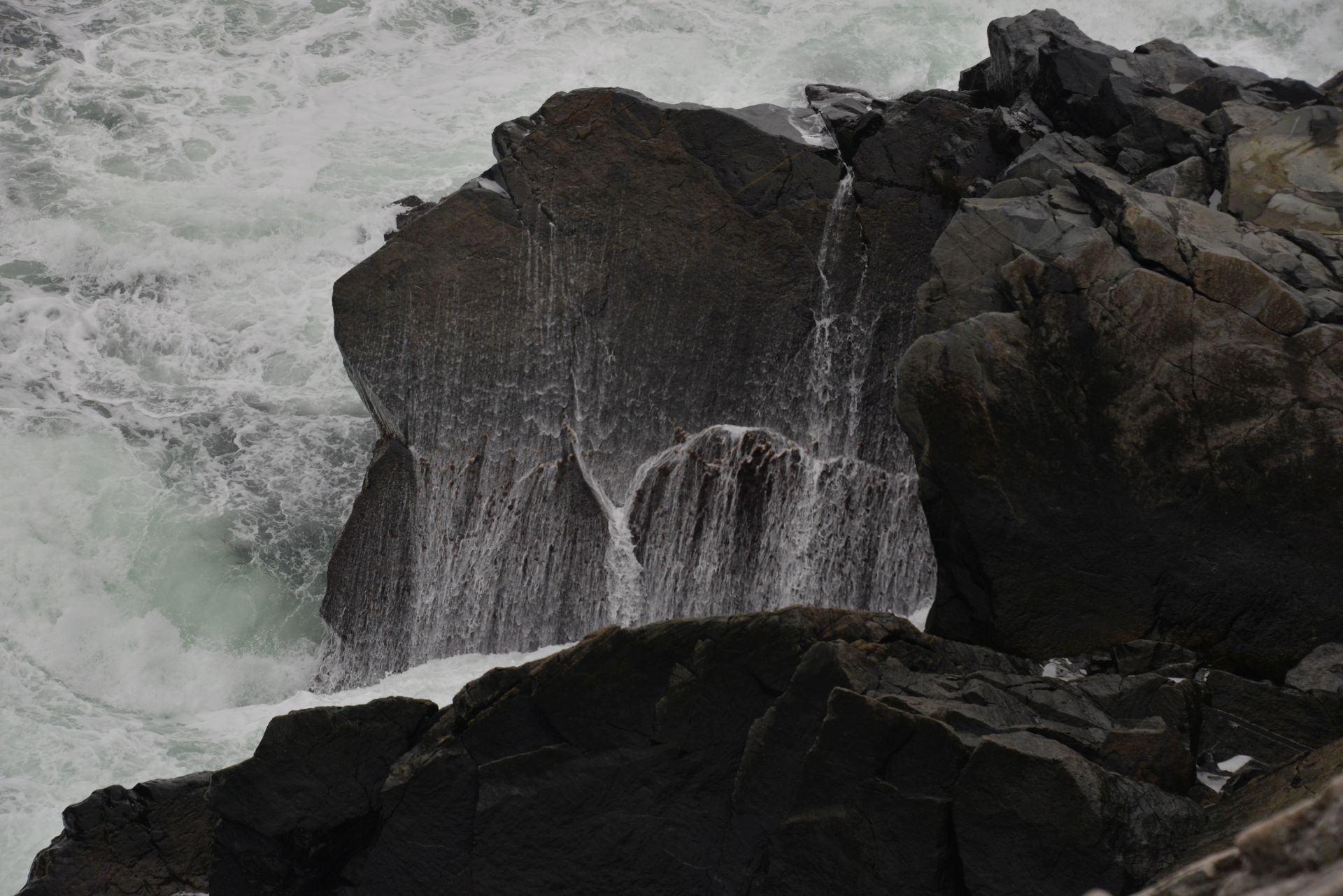
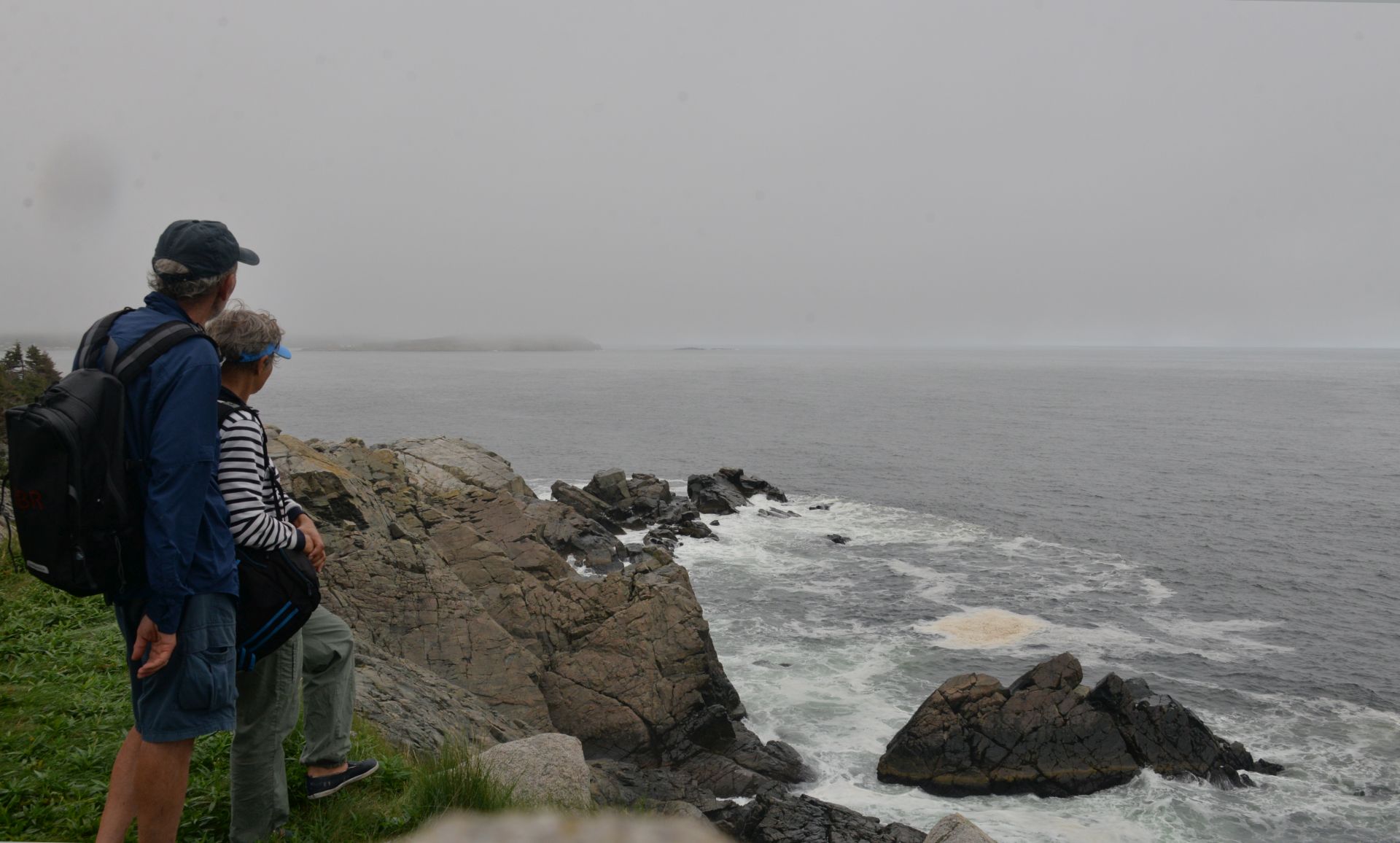
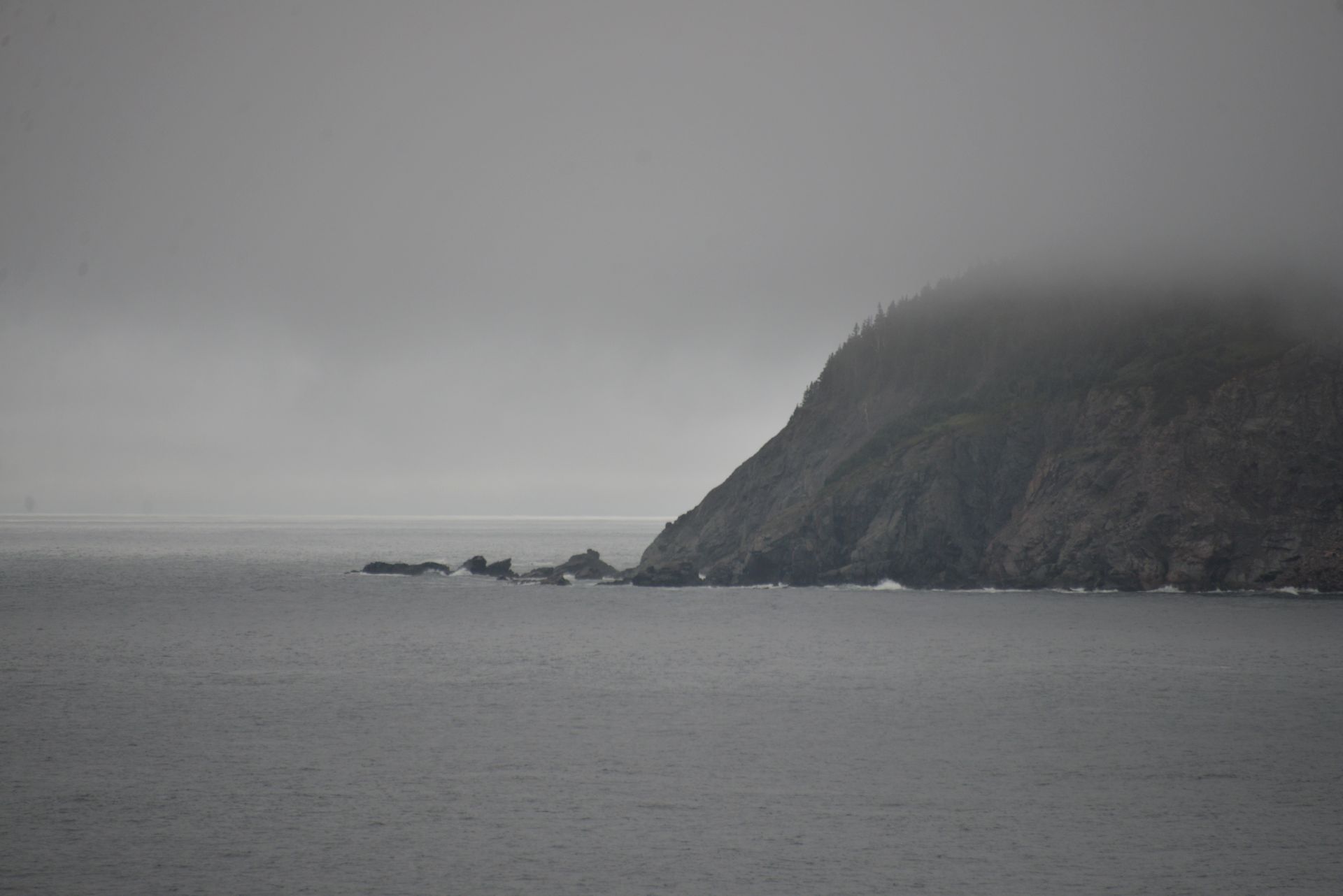
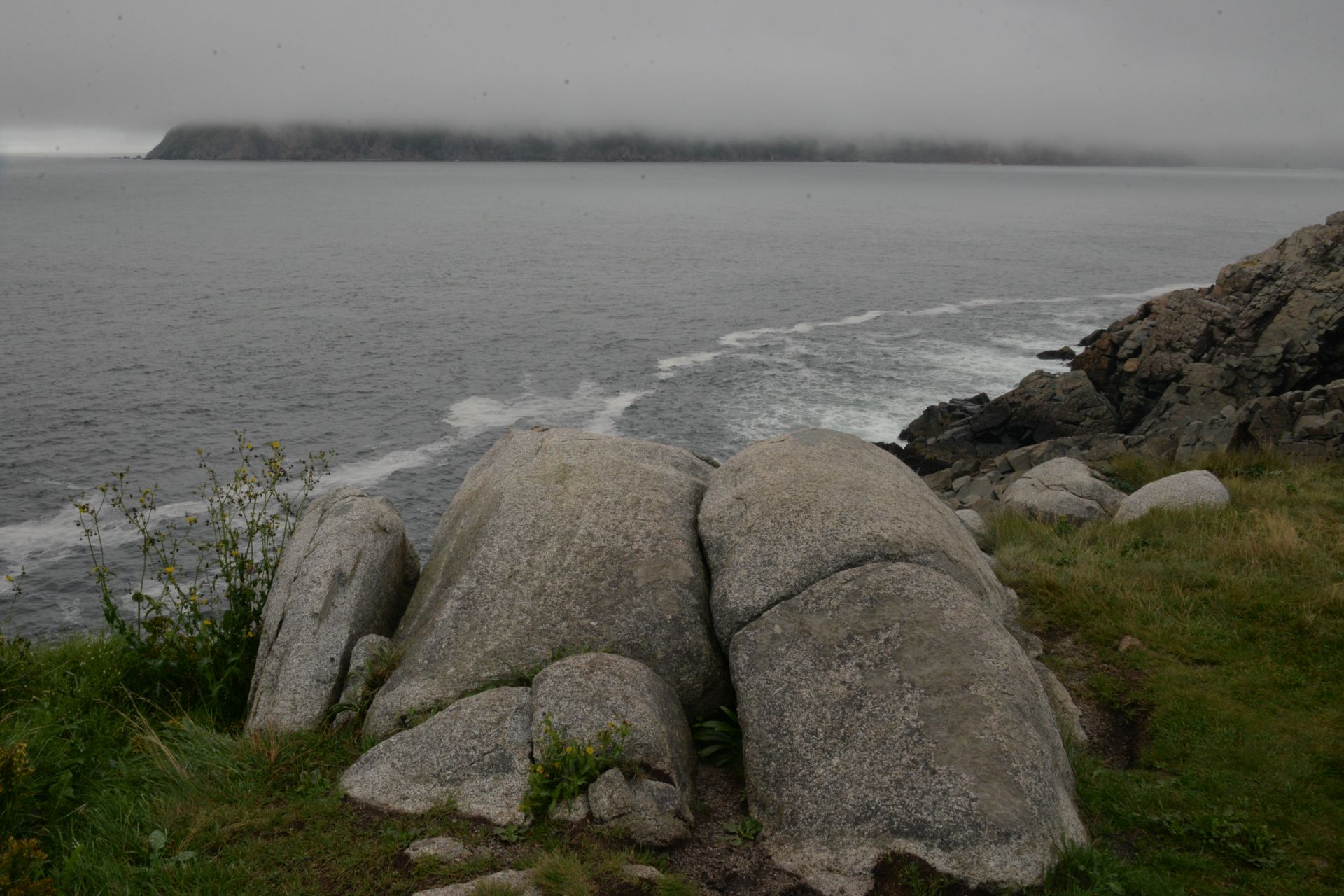
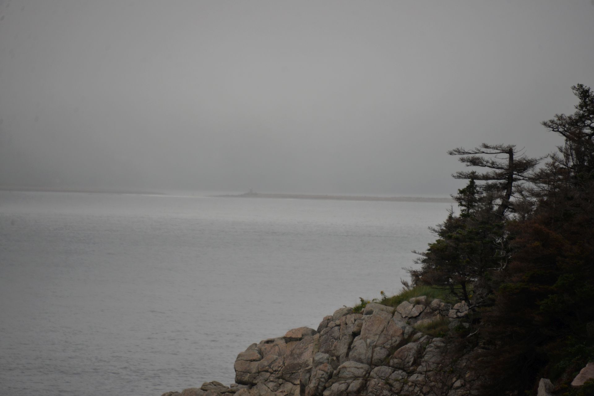
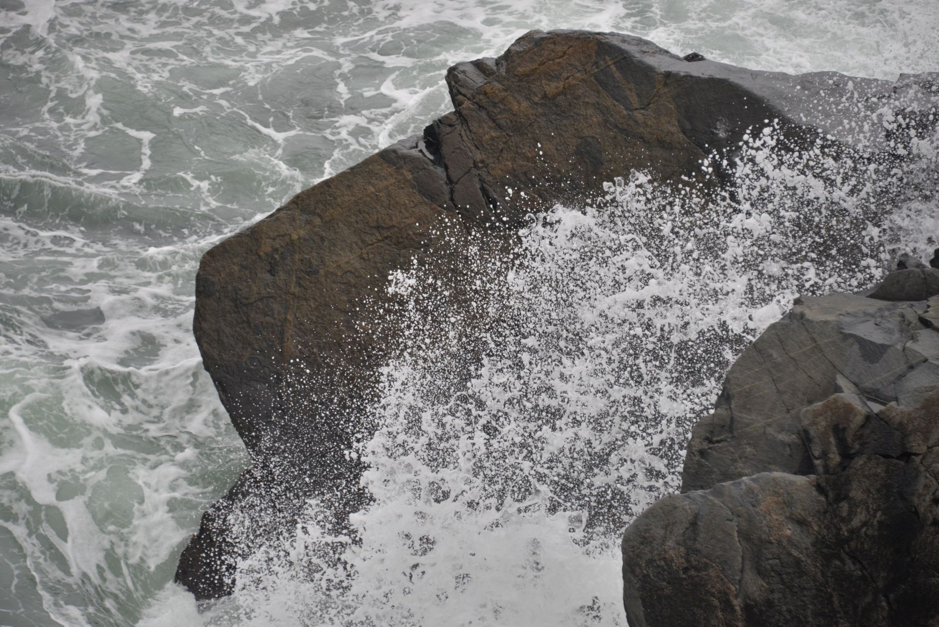
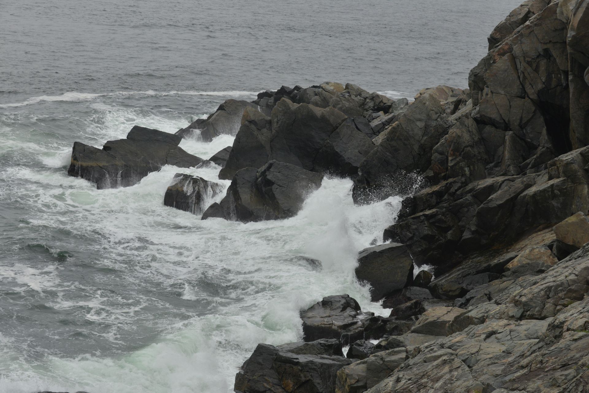
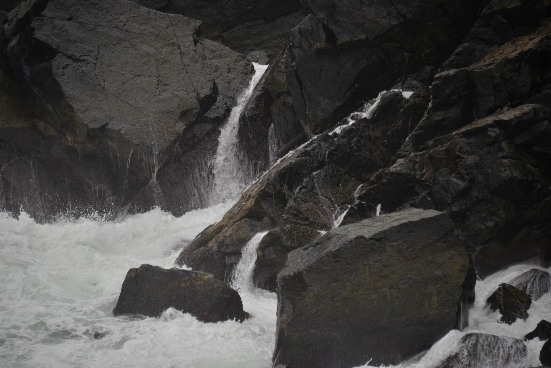
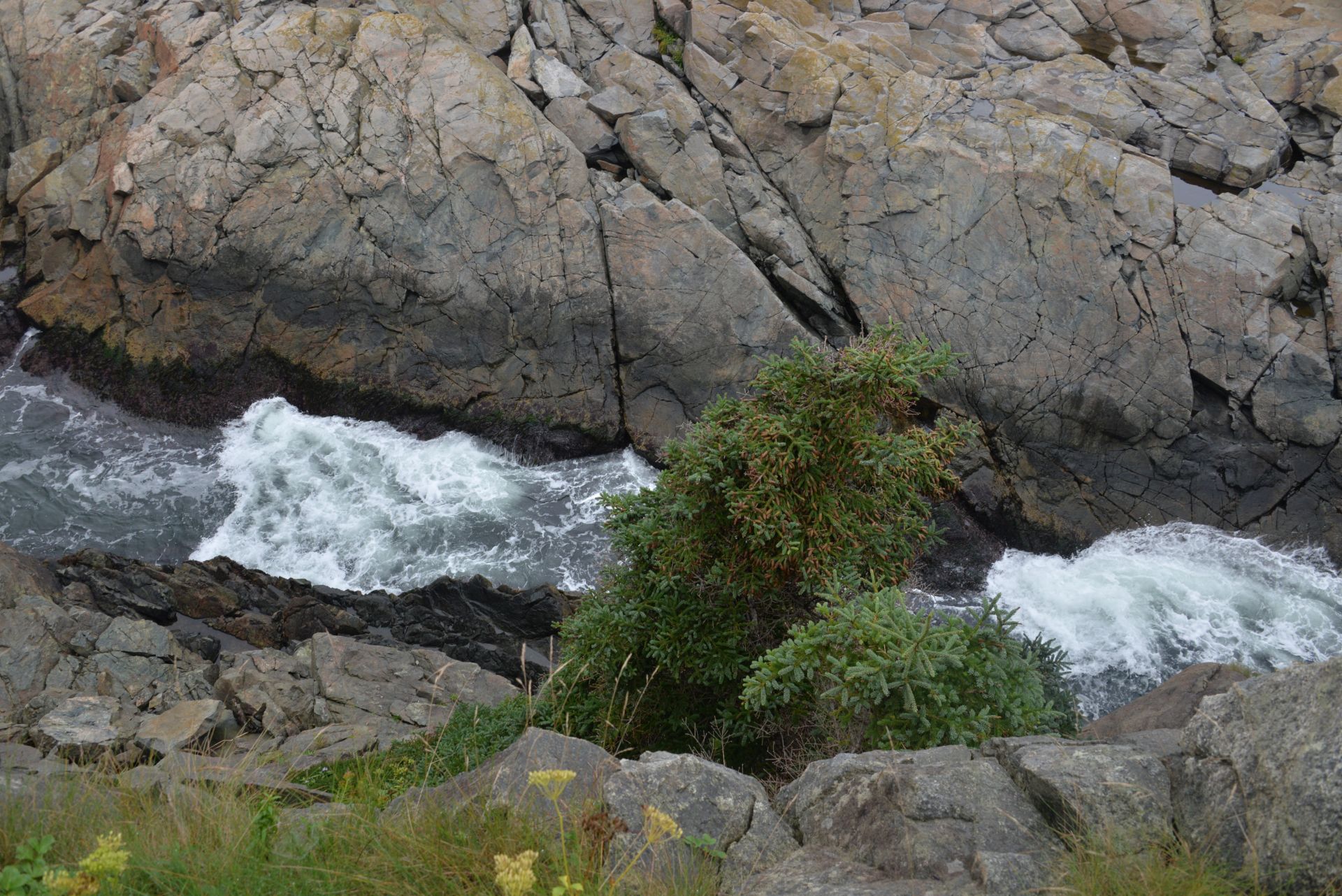
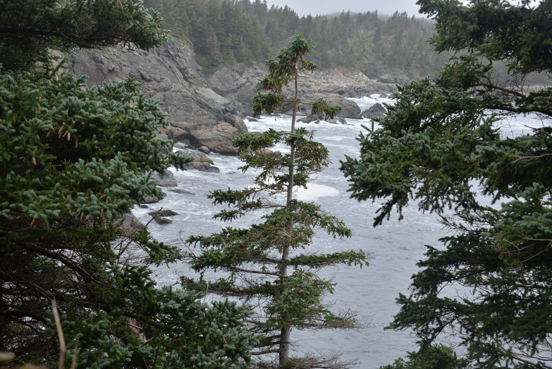
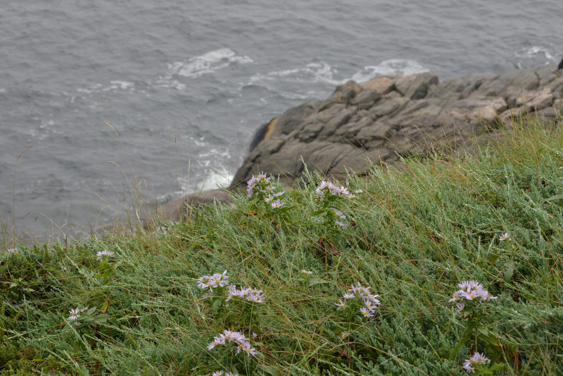
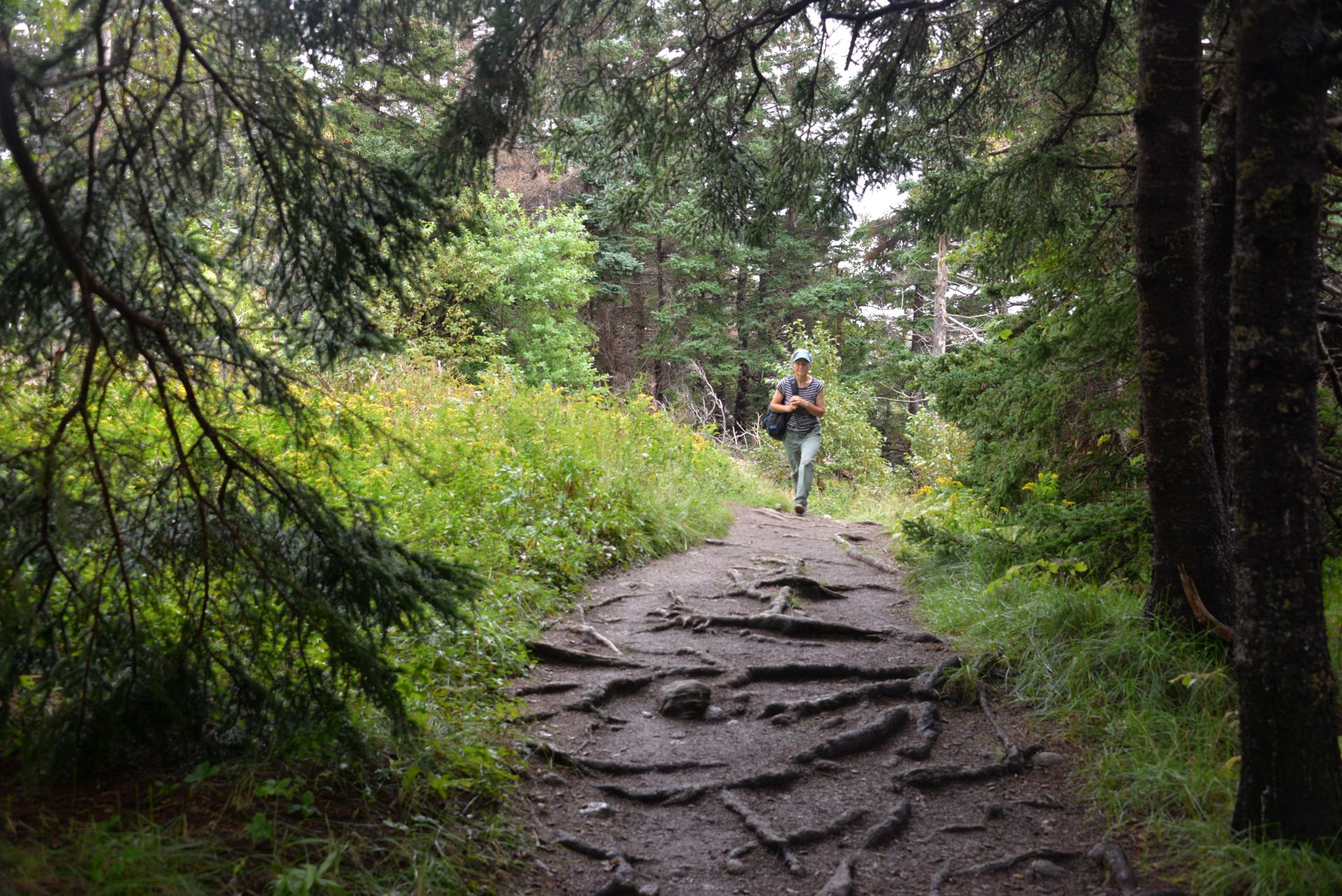
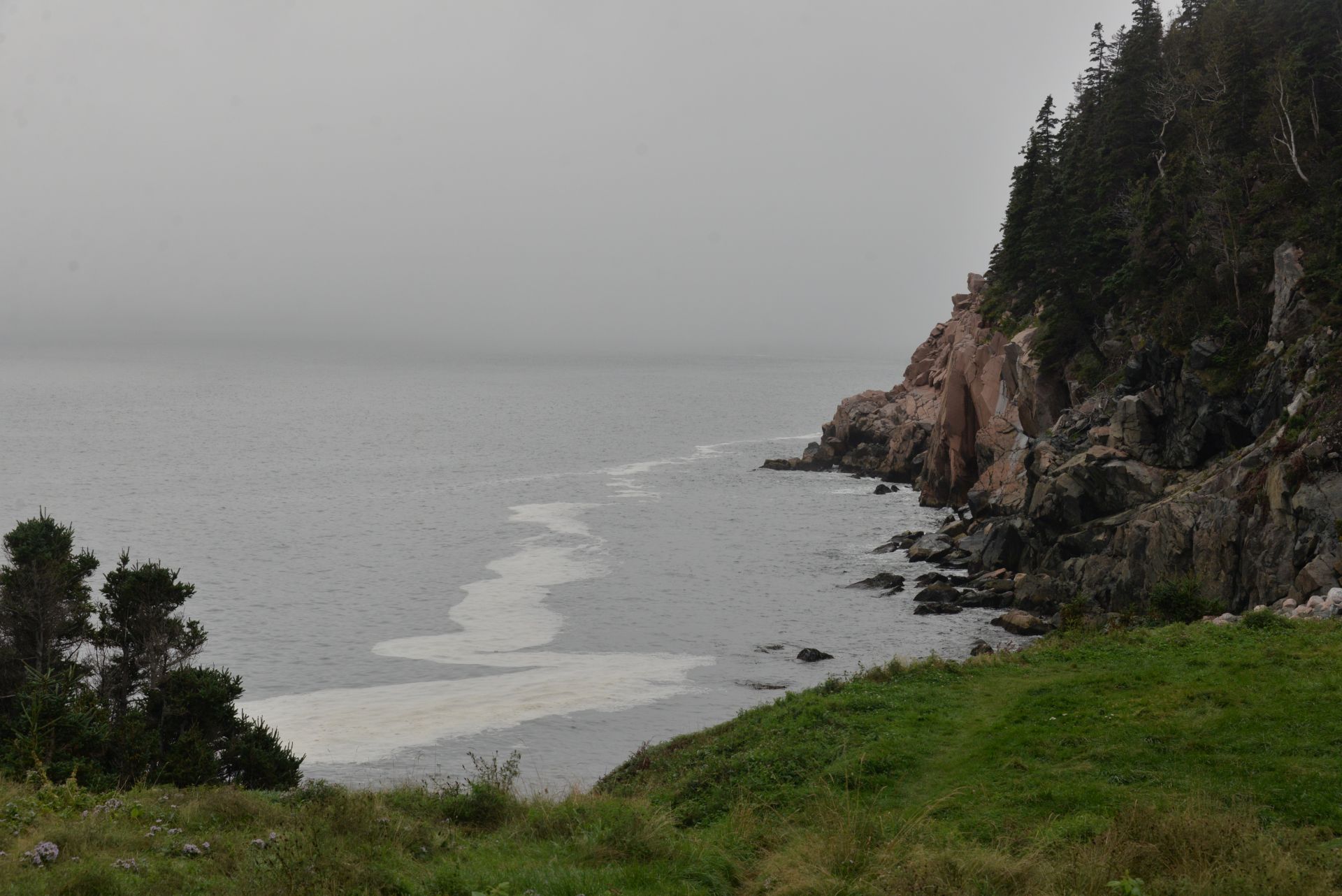
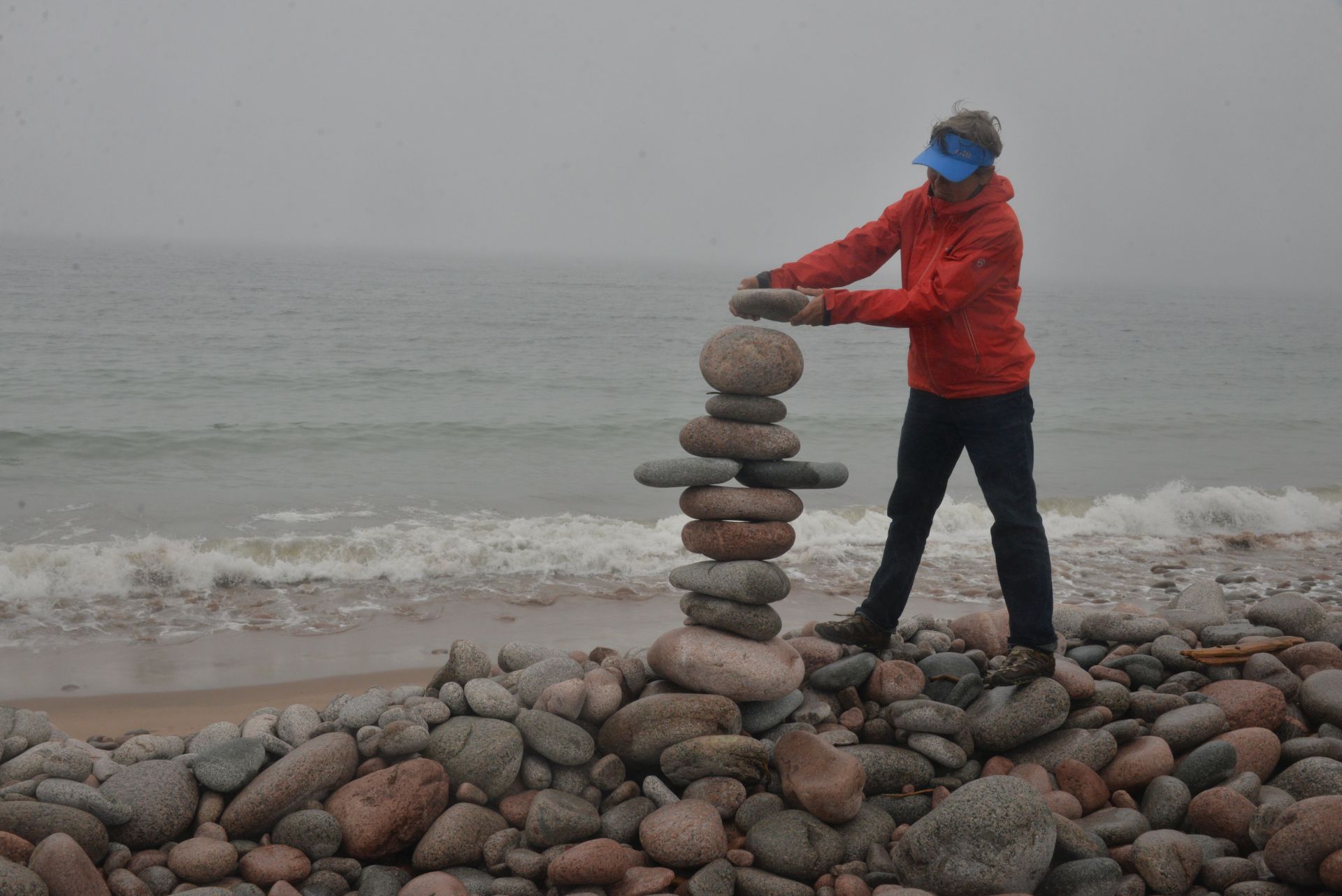
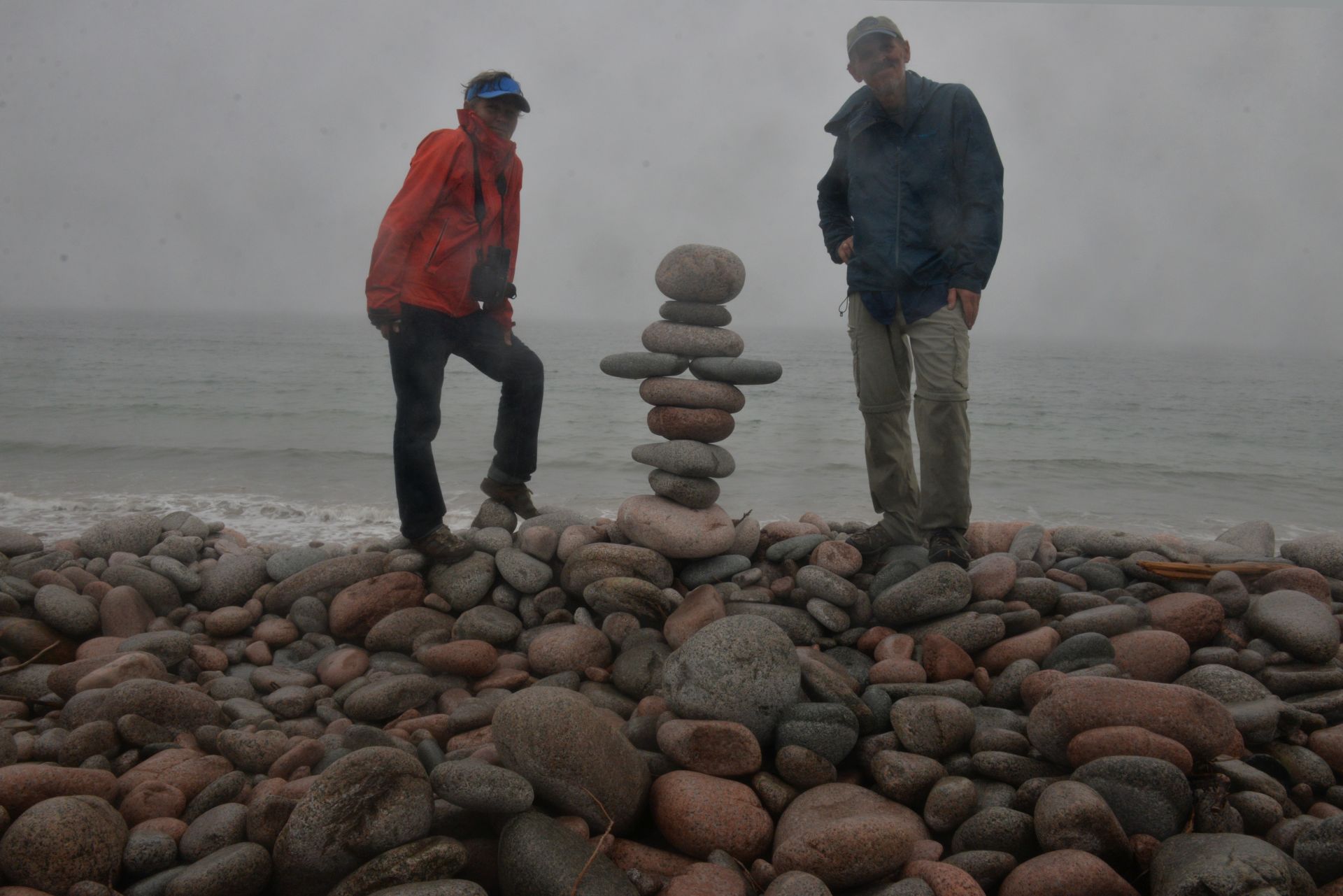
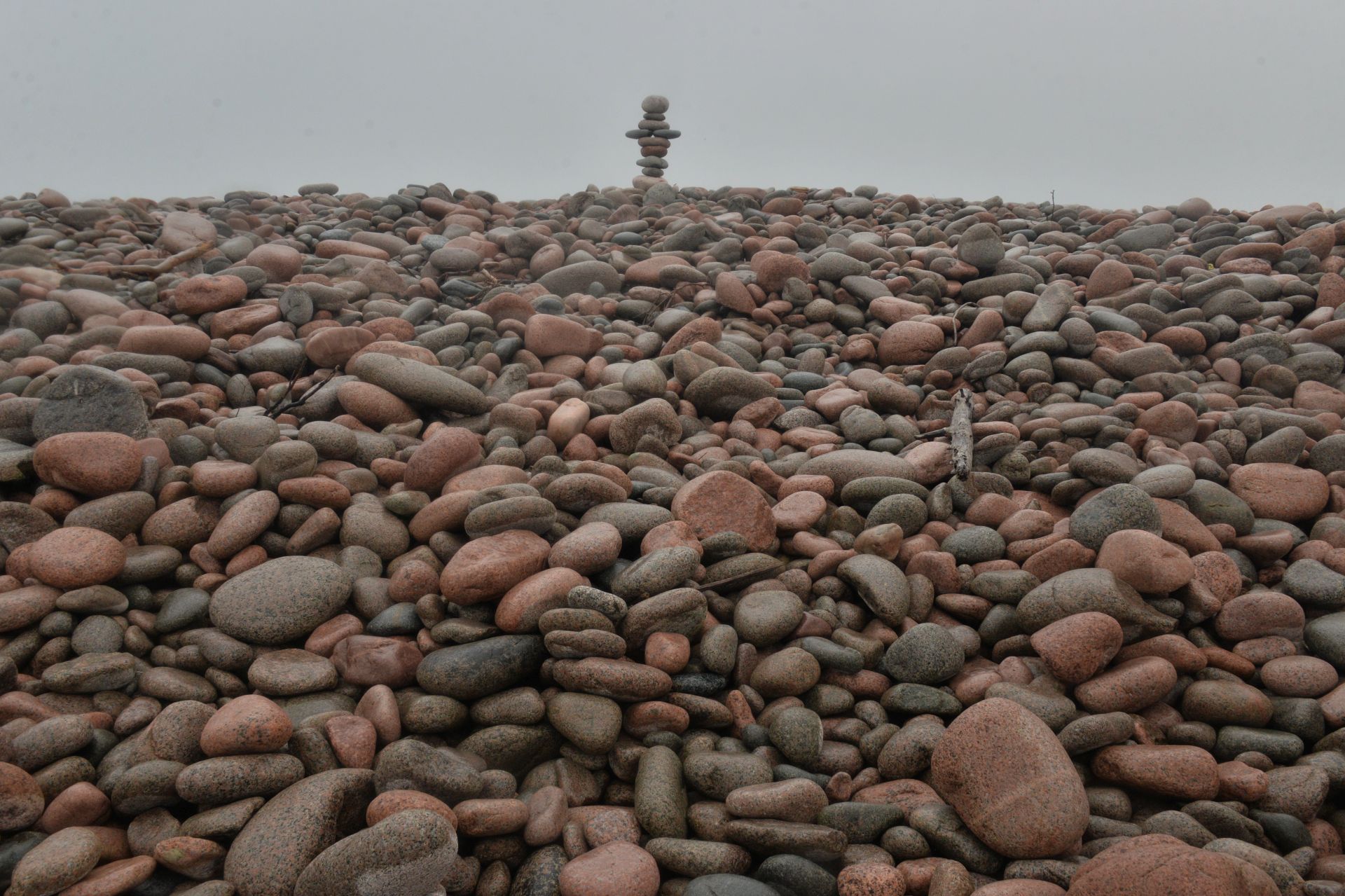
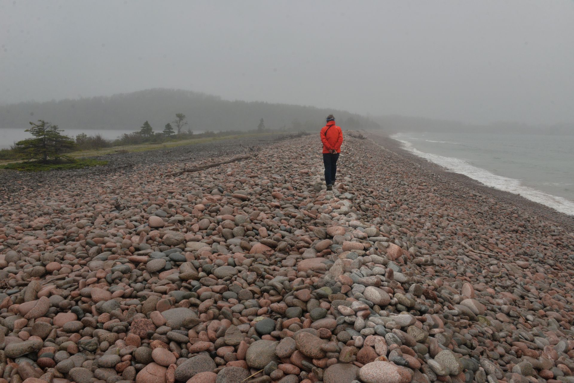
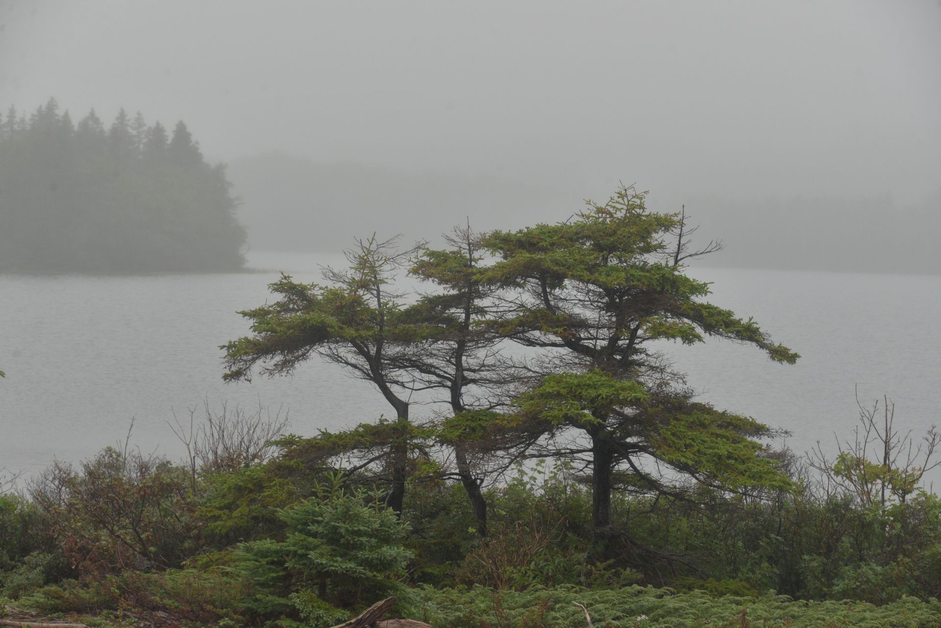
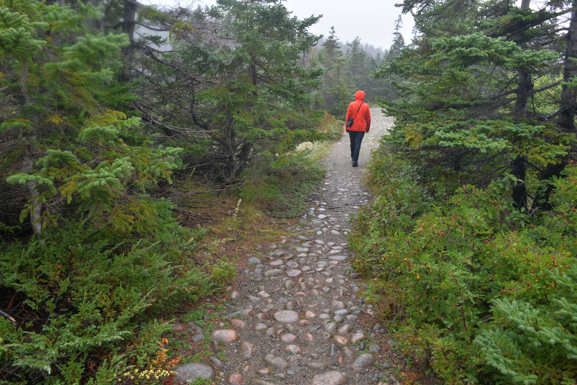
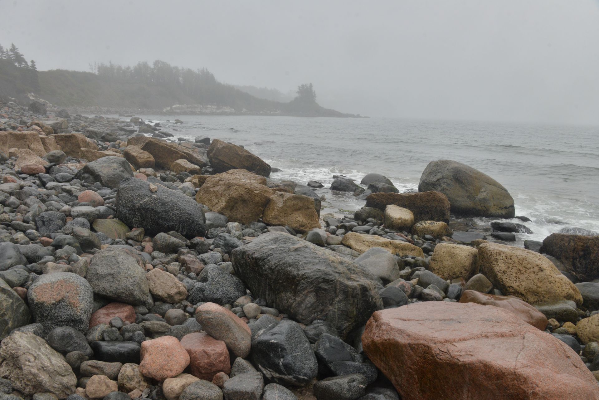
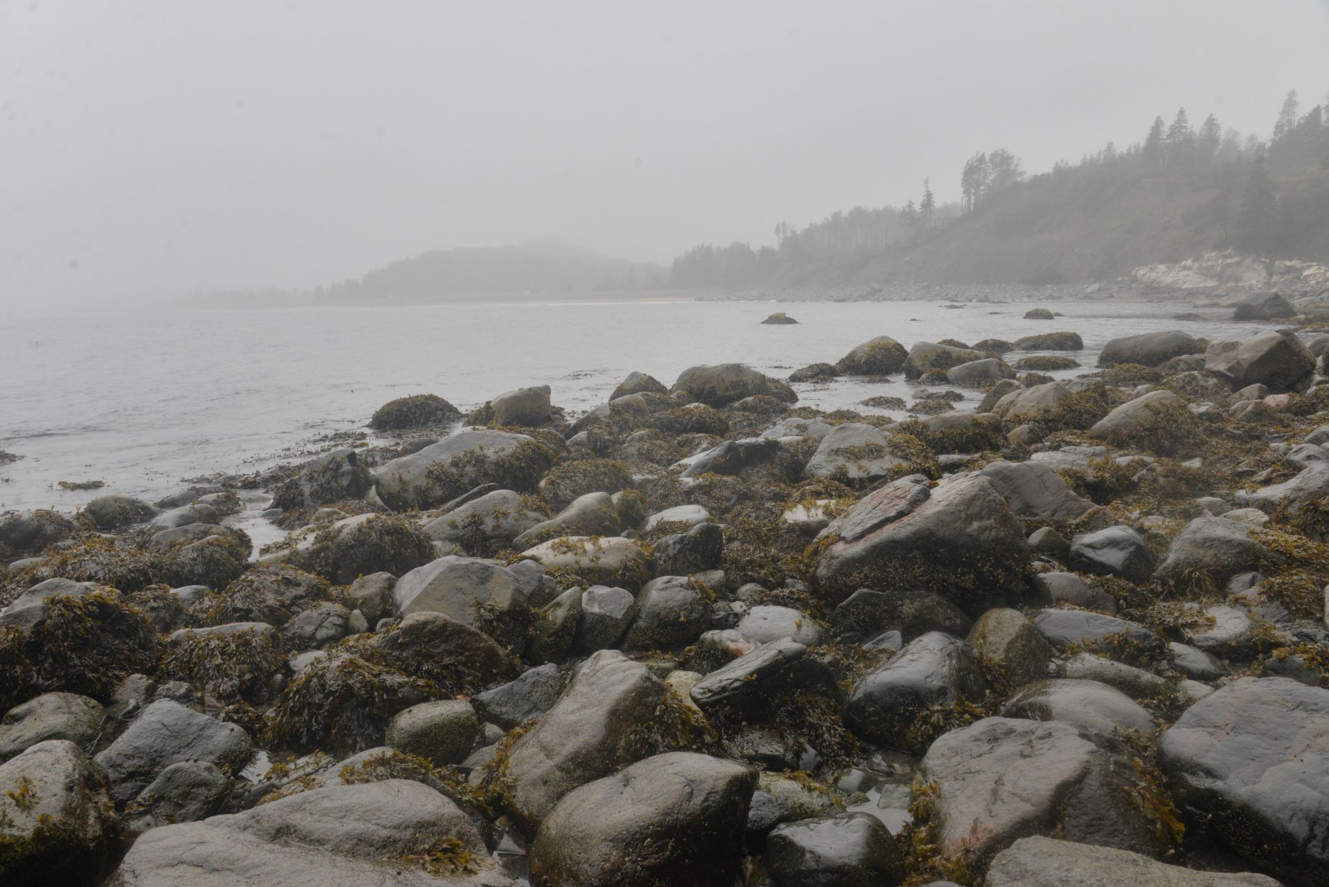
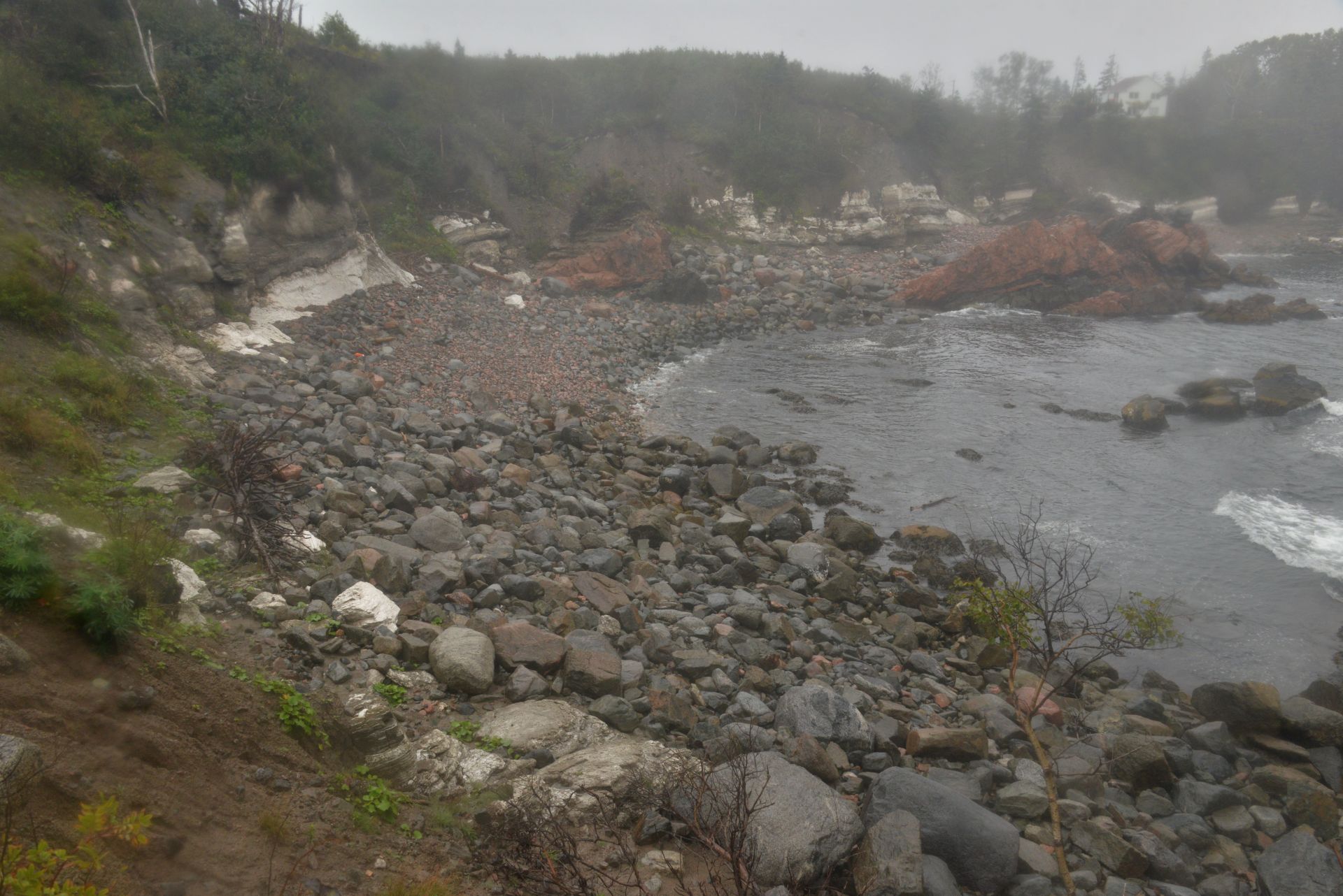
The most interesting attraction in Havre-Aubert is without a doubt the Historical site of La Grave (from the French “grève”: pebbly and sandy terrain). This pebbly beach was a favourite spot for fishing and commerce and still retains its maritime flavour added with artisans’ shops and restaurants. The weather on the day we were there was foggy, but that added to the charm of the place.
Ready for the walkThe Havre-Aubert marinaHistorical site La Grave Bright-foggy-water-front Old and newMaritime playgroundBetween the BaysHighway 199 passing through La GraveWindowsFoggy beachRemains of a shipwreckWooden layers of the ship’s hullBig old boatPebby beachFoggy bayMisty spider’s netCTD cast in the Havre-Aubert marinaA plot of CTD cast data in the Havre-Aubert marina shows well-mixed water (due to stormy weather) with a quite healthy environment.
Well, the time has come for serious tests, both for the sailboat and for us. After a good time in L’Anse a Beaufils, chatting with local sailors over a glass of craft beer, we decided to change course from south to east and sail to the Magdalene Islands for a number of reasons. Firstly, we had not been there and were interested in seeing those remote places, secondly, the distance there required a whole-day passage with a night watch, which for us should have been another test of our capabilities, and thirdly, the testing of the sailboat under sail on a longer route. Our route took place in winds of 10-20 knots, with NW and N wind. The remarkable night adventure was meeting at sea the research vessel Cariolis-II, which we had previously seen in Rimouski. We literally went port-to-port (thanks to AIS, you can see and read the description of the ship on the plotter) and we greeted them by flushing the bright light of our spreader’s lamps (thanks Frank!). The night watches passed more or less well, but already in the morning when there were about 10 miles left to the shore, the next test awaited us – the steel wire holding the foresail (jib halyard) broke and the large jib began to fall down. Using a safety line (thanks Steve!) I reached the bow and pulled the jib onto the deck. To ensure the stability of the yacht in the waves and quite strong winds, we had to turn on the engine and do motor sailing. We decided to go to the capital of the island Cap-aux-Meules, where there is a marine supply store and a better chance of finding rigging specialists. Approaching the island, we found ourselves in dense fog, which accompanied us throughout the route, requiring special attention and operation of the radar and AIS system. It turned out that some fishing vessels do not turn on AIS, probably, hiding their position. We turned around the island, the wind direction changed and we again had to go against the high rolling waves, cutting them with our heavy full-keel sailboat. Here we were deeply satisfied with the strength of the hull, but our strength was almost exhausted, so we turned to the nearest marina in Havre Aubert after 28 hours of sailing and 165 miles left behind.
Iryna on the helm Good sailing!Sunset on the runRed-stripped SunApproaching the Les Îles-de-la-MadeleineÎle du Havre-AubertÎle du Havre-Aubert [Cap du Sud) LighthouseFinally, docked at the Havre-Aubert Marina
We stayed for three days in this beautiful harbour, maintaining the engine (replaced both fuel filters, removing problem of presence of air in the fuel system), hiking and biking around, grocery shopping, socializing with sailors. There is a famous restaurant with a musical program on one side and a microbrewery with a small restaurant where you can try freshly brewed beer and taste local fishery delicacies. In addition, right from the marina, there are trails along the river and into the mountains, where you can pick tasty mushrooms. One of the places where, by coincidence or fate, you meet new friends who want to help you and are able to hear about your project. Thanks, Bruno and Dominique, for your help and attention to our project Sail for Science.
Ready for the biking tripCrossing the river by bridgeCrossing the river by feet and weelsCrossing the river in a suspended cartL’Anse a Beaufils RiverDocked in the harbour with Bonaventura Island in backgroundSustainable roofingYellow and blue favorite colors, our hearts with Ukraine!Biking along Highway 132 with photo ups:)The old house near the shore with a view of Bonaventura Island Cap d’Expoir LighthouseCap d’ExpoirNorthern Gannet on the flyNorthern Gannet gliding on the wingsBiking shadows:)With Bruno and Dominique near his AstroCatWith Bruno in his self-build Tiguidou (nice name, means Allright, sounds great)Inspecting the engine with Bruno Cheers! with Bruno and GlenPit Caribou microbreweryWarm talks with Jean-Michel and his friend at the fire pit Demonstrating CTD at work to the harbourmaster DominiquePlot of data from CTD cast in the L’Anse a Beaufils at high tide. Generally say, a good state of the environment in the harbour with normal oxygen saturation and Chl a and fDOM concentrations. The backscatter’s transparency is higher due to the river water flow into the harbour.Leaving the L’Anse a BeaufilsBruno’s Tiguidou is leaving the harbour with usGood Luck, Bruno!Oceanolog sailing away from Bruno’s point of view