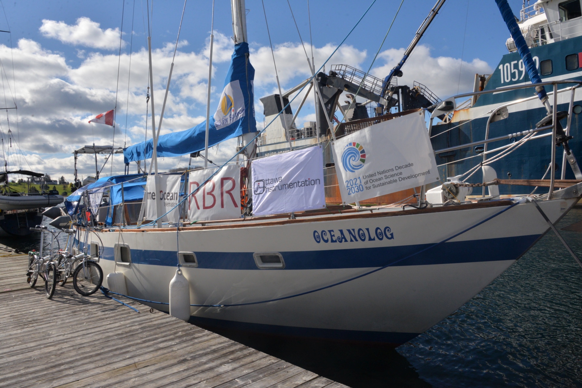
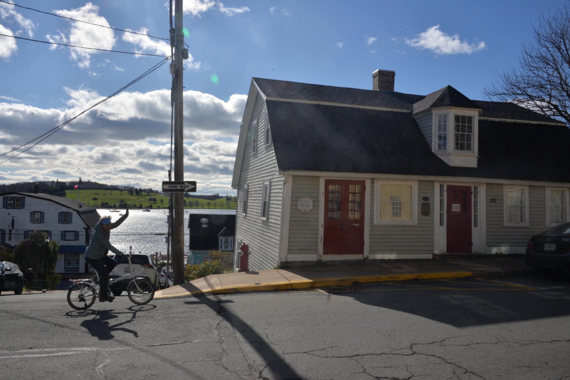
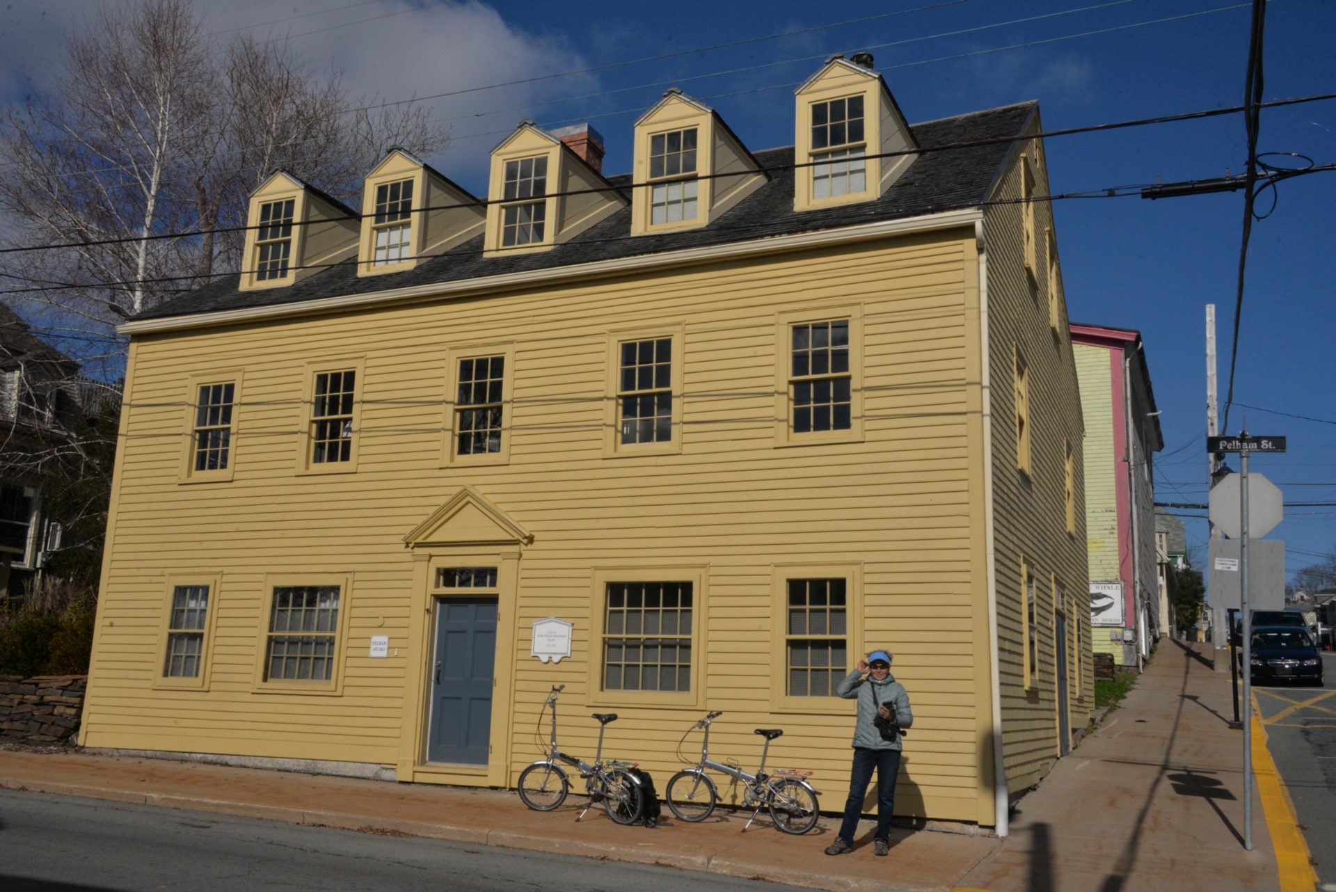
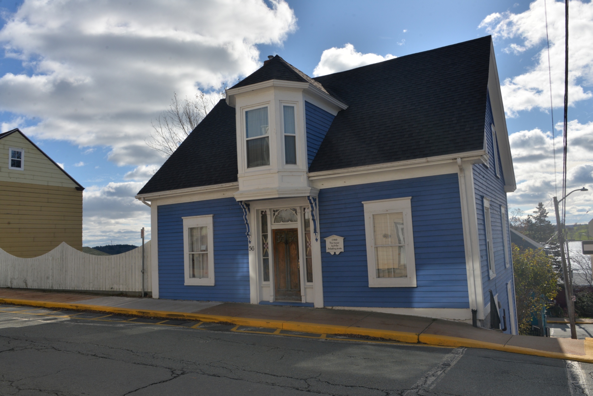
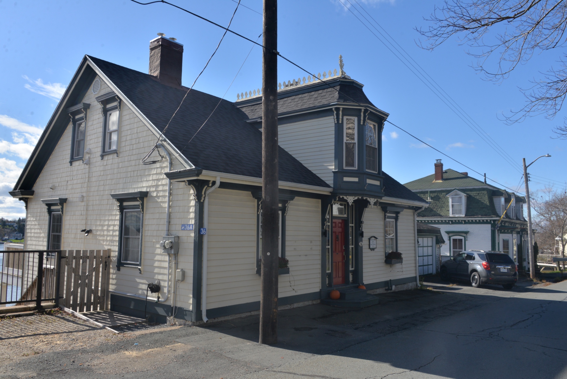
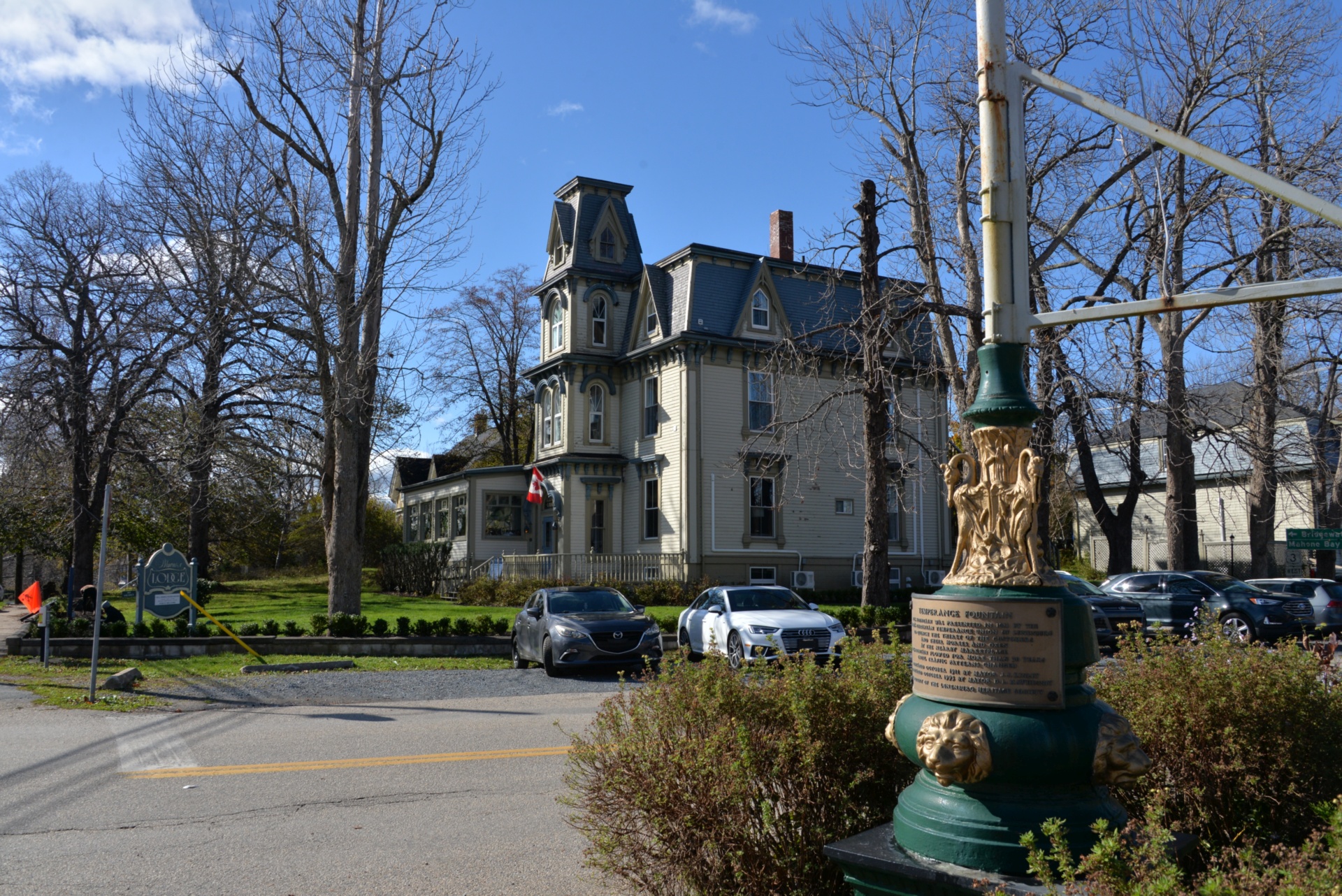
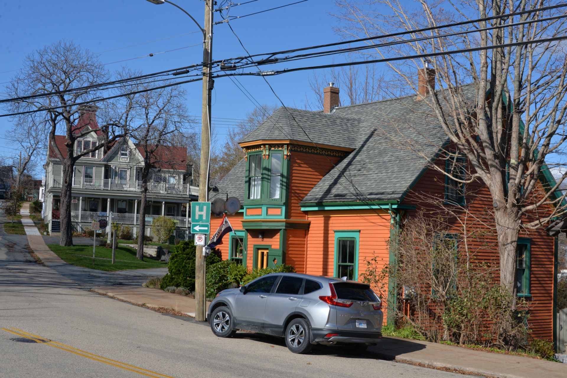
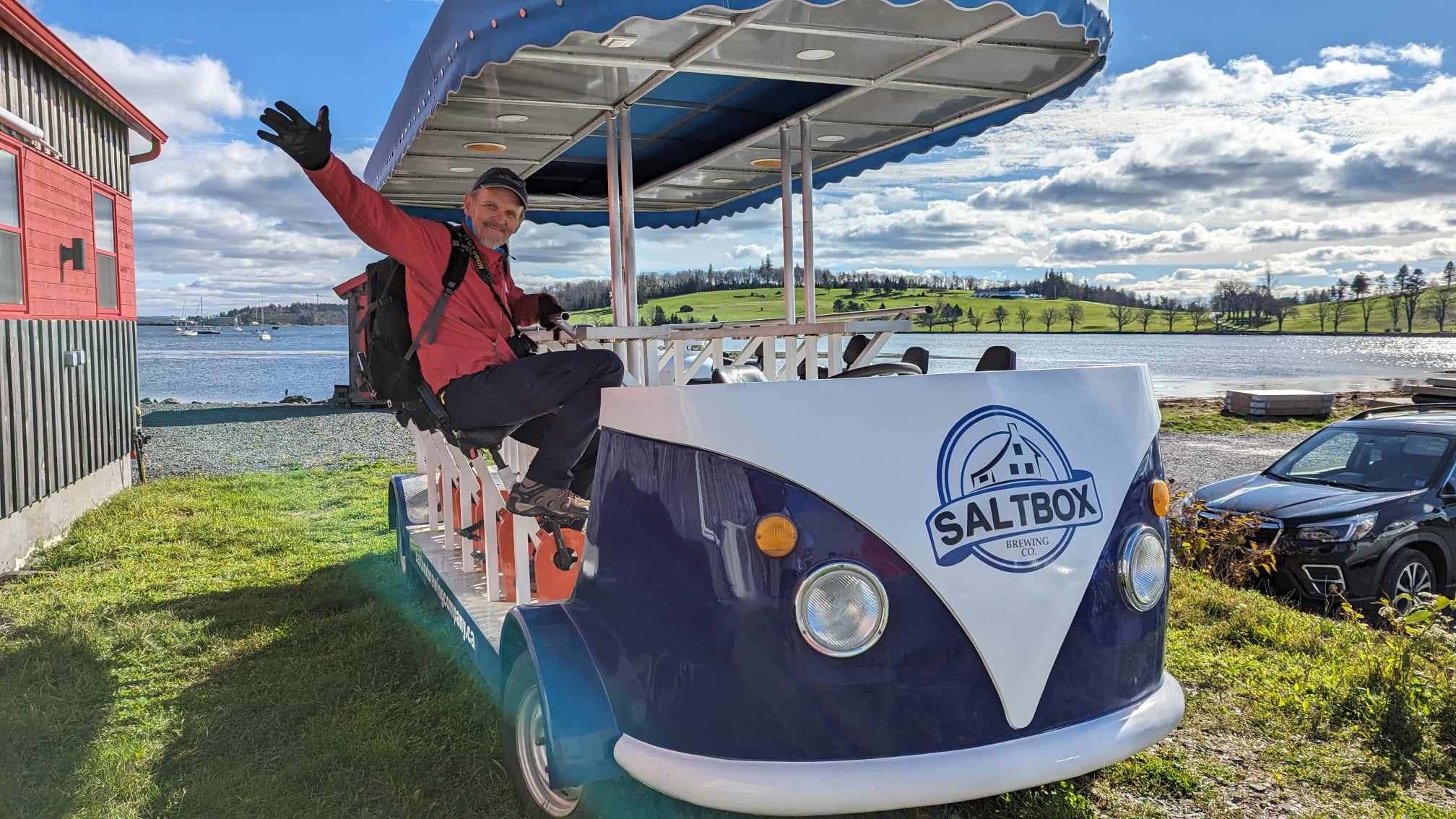
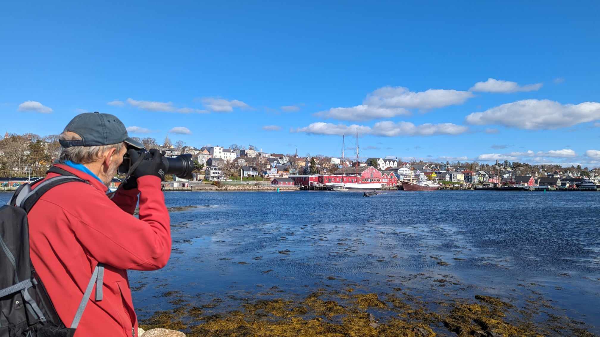
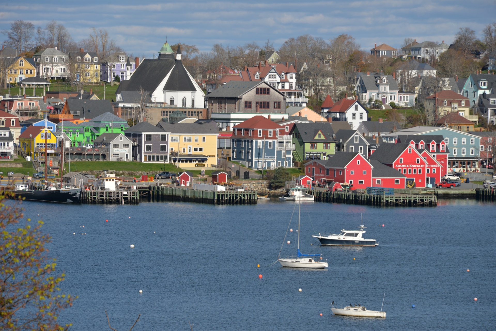
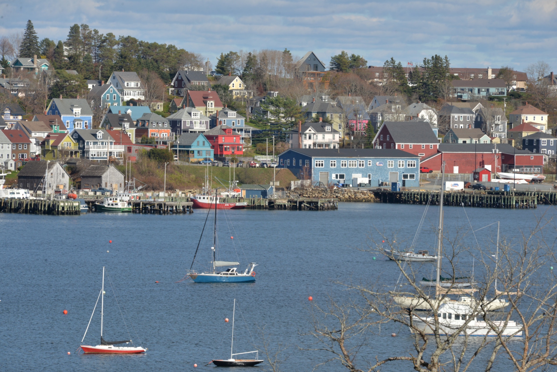
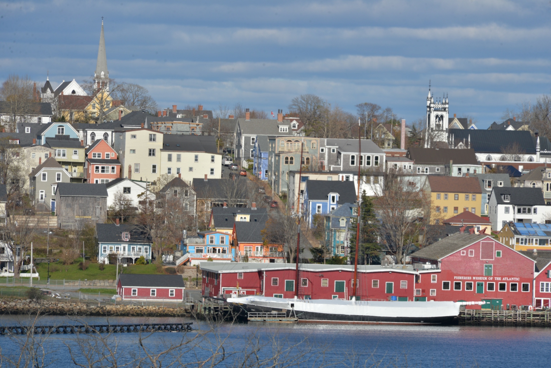
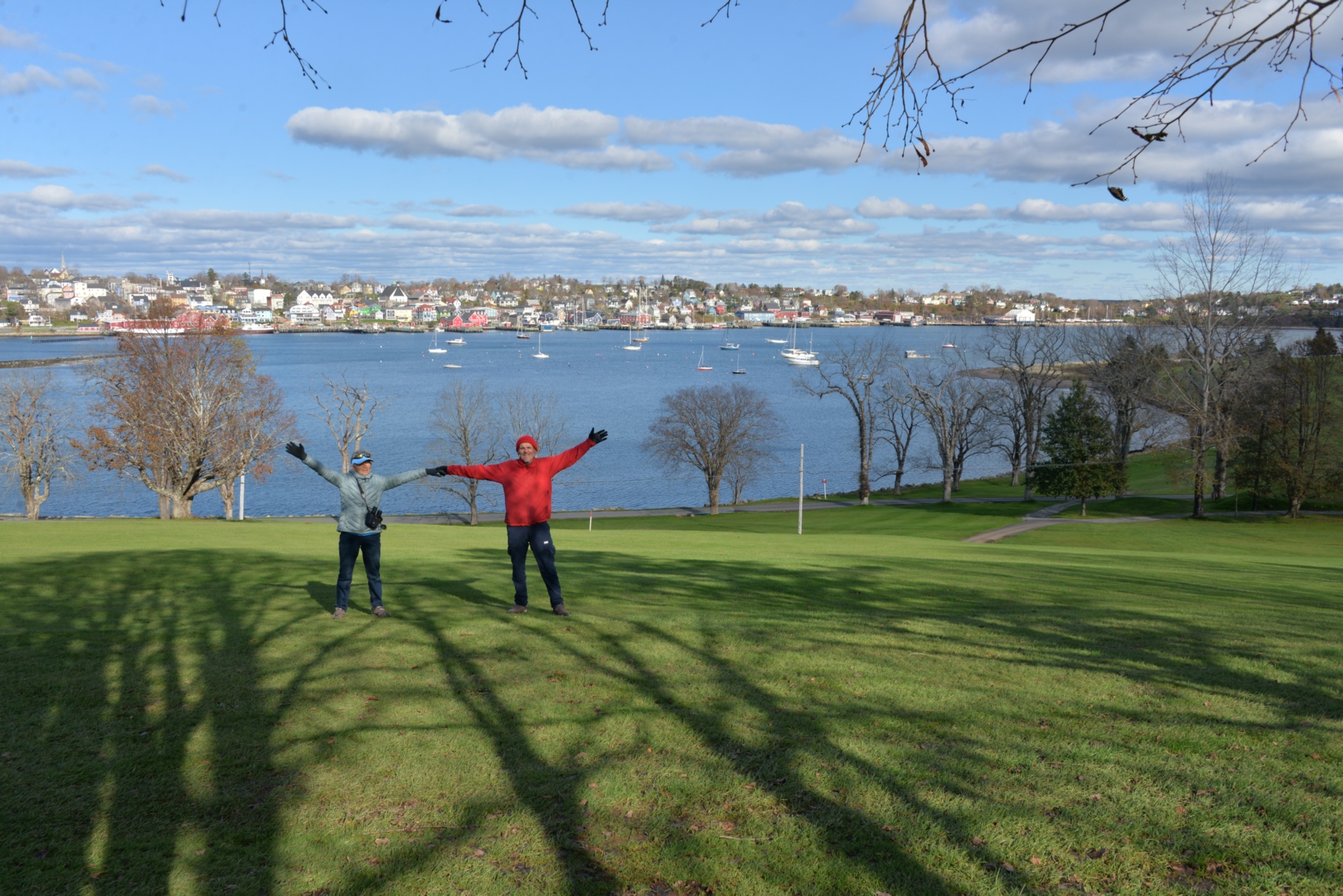
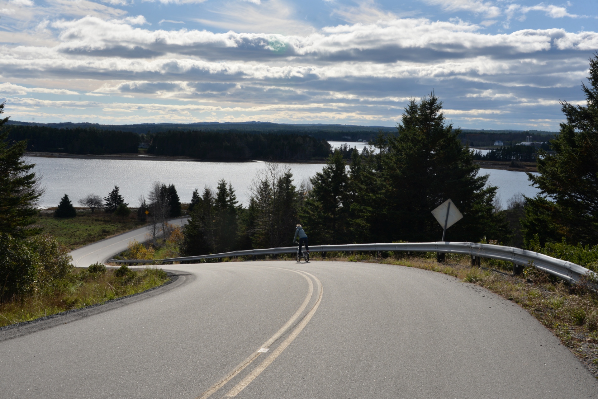
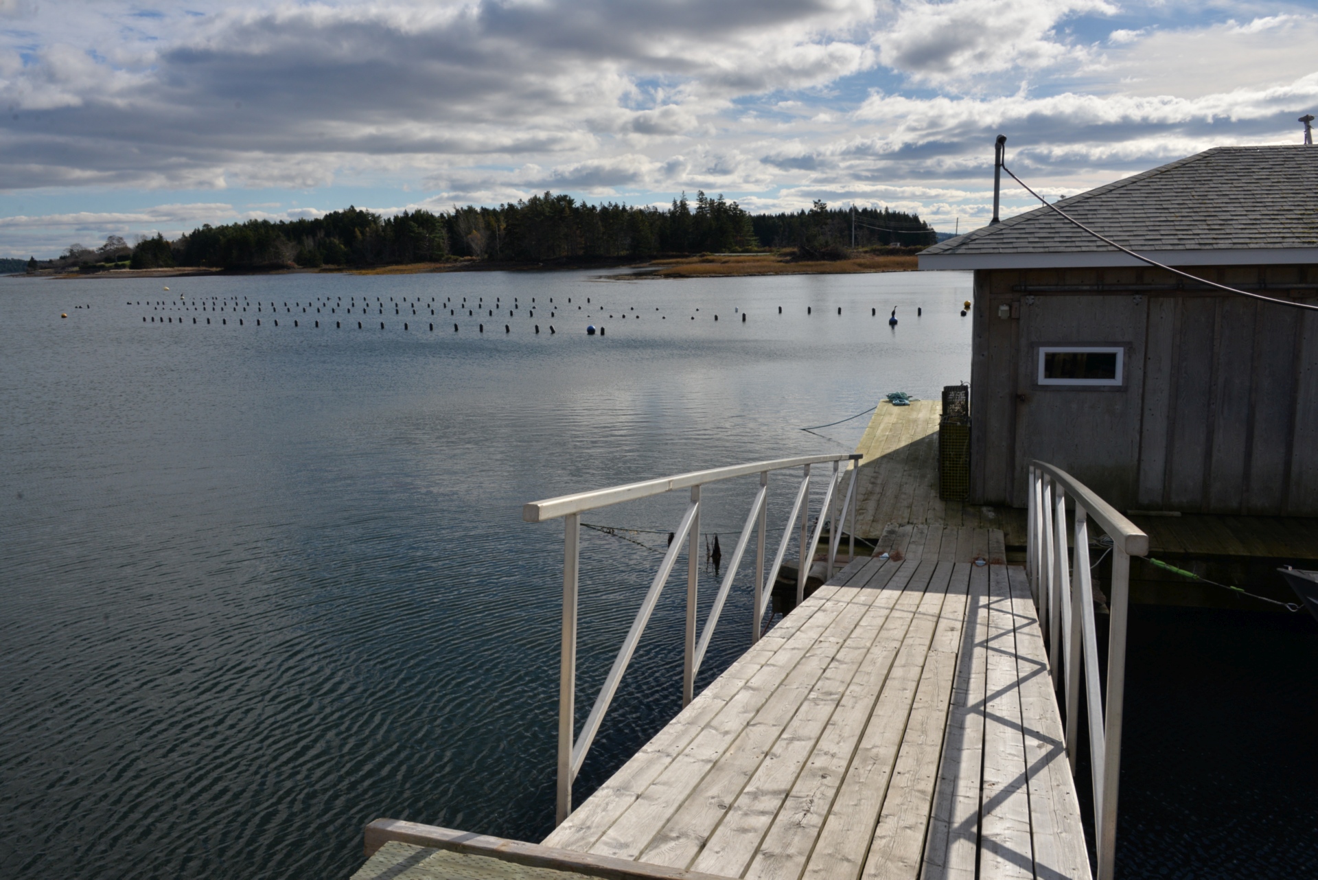
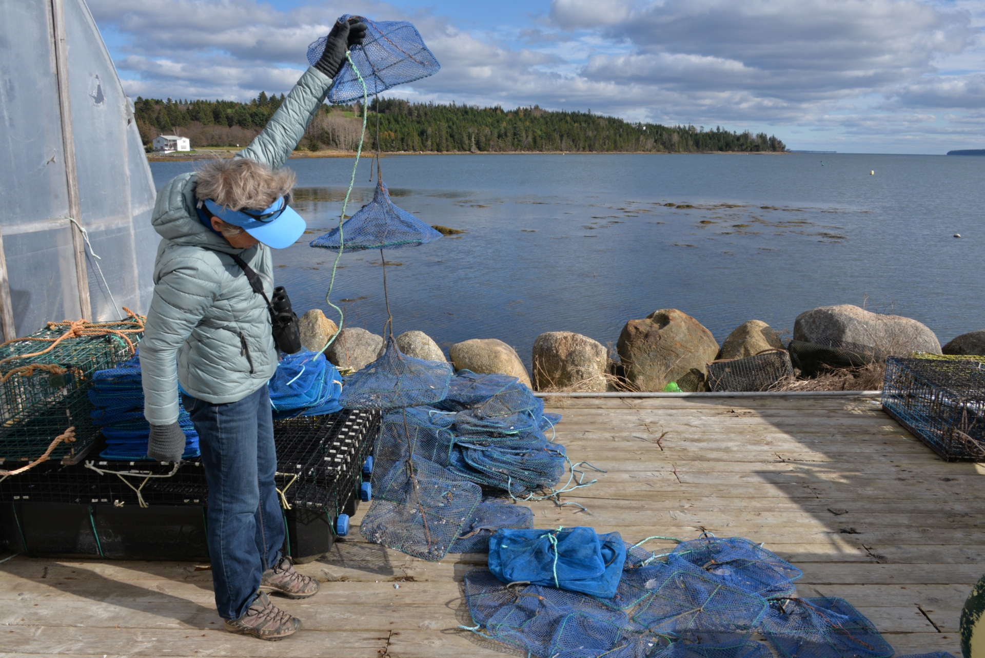
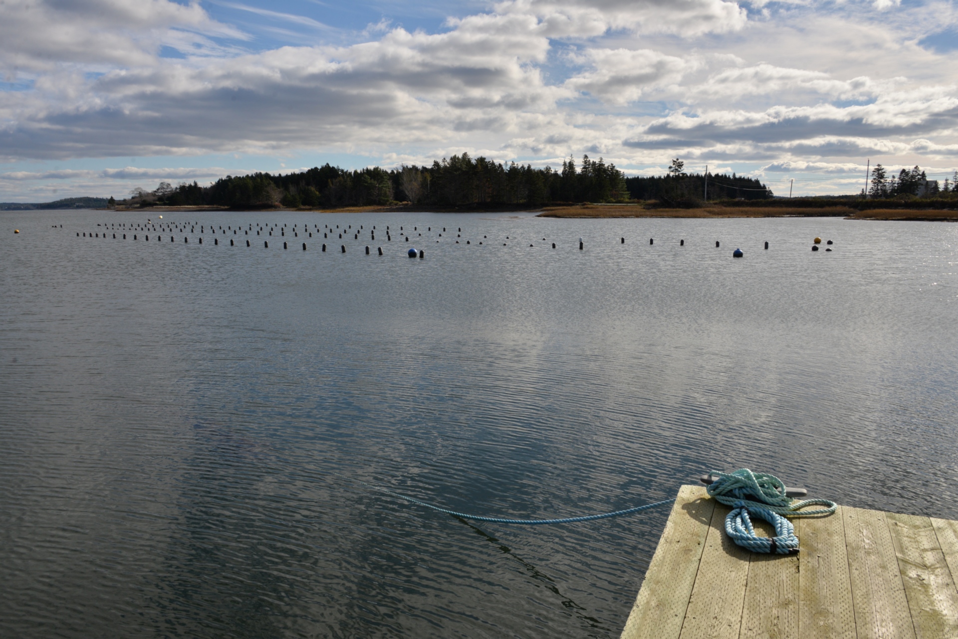
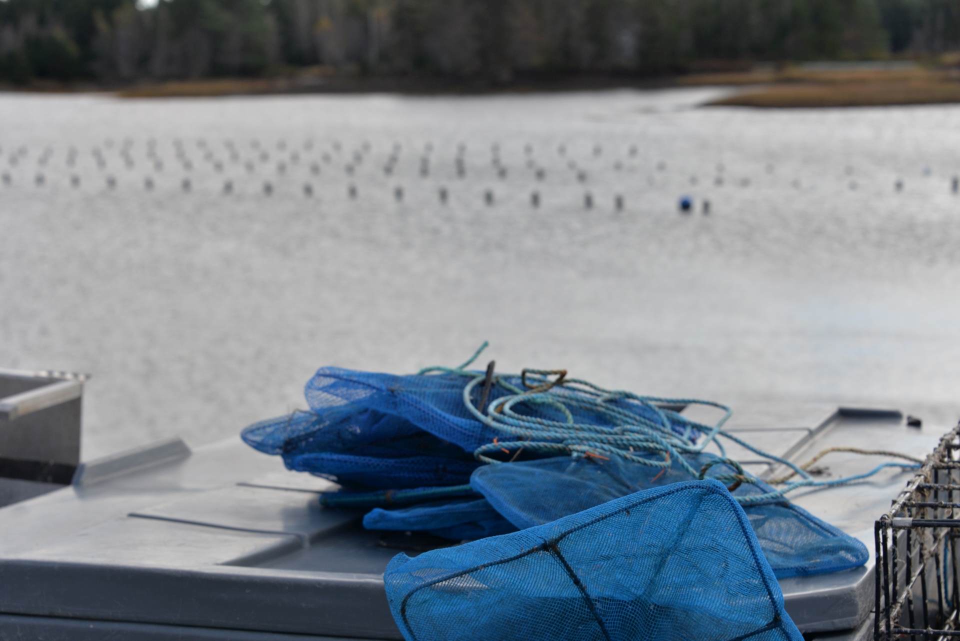
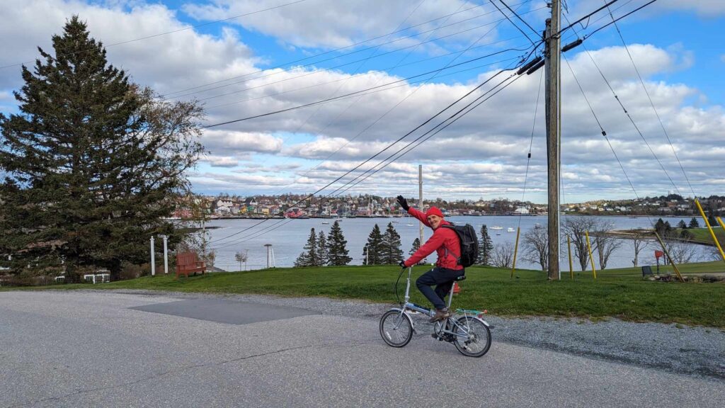
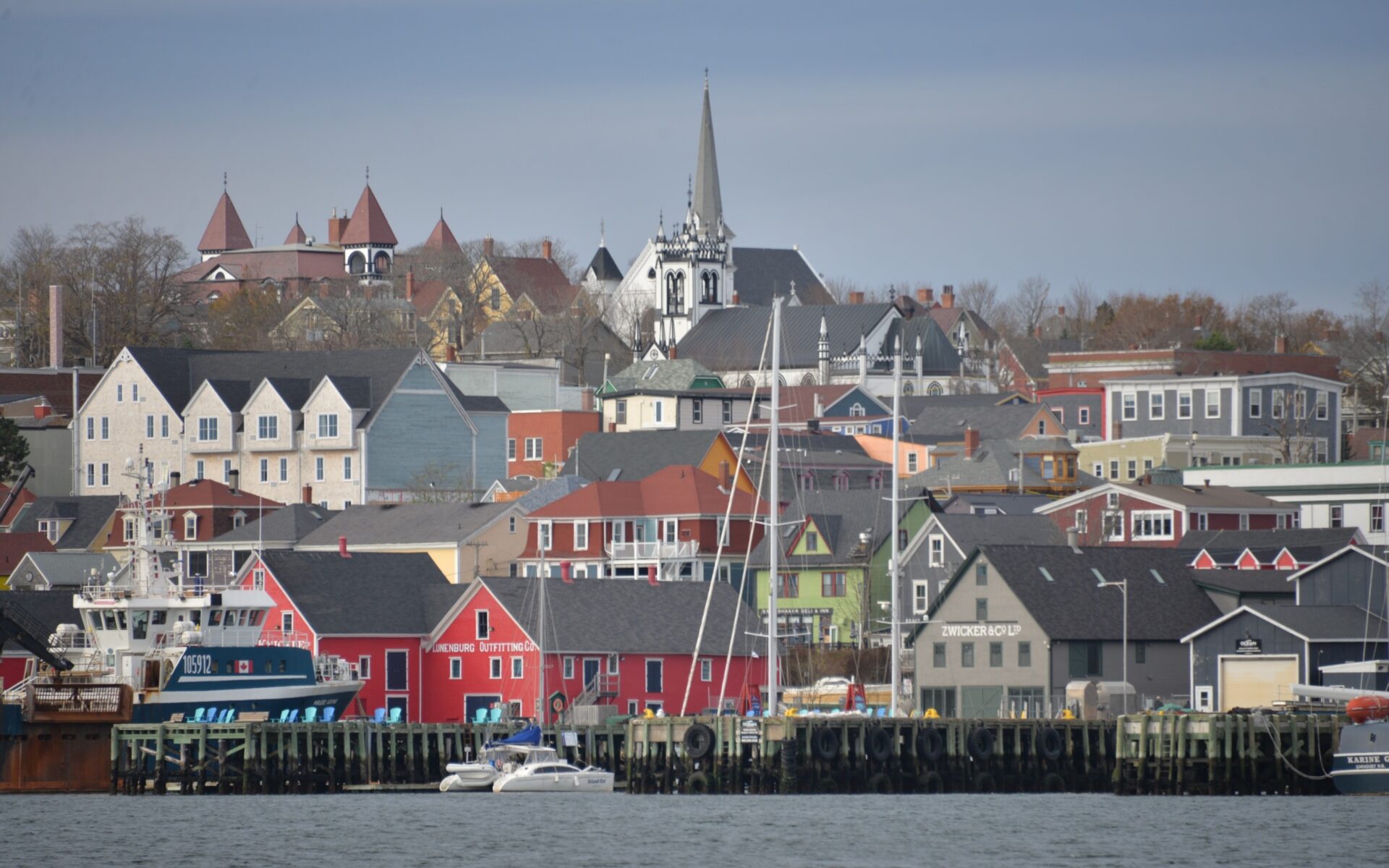
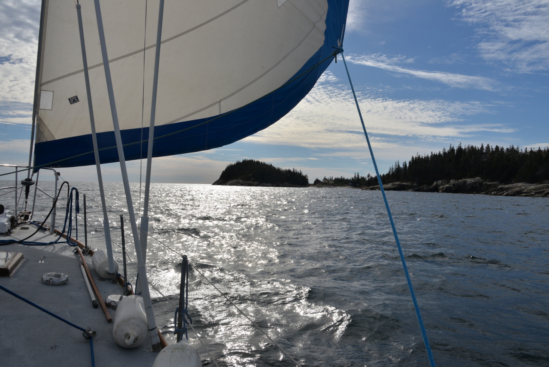
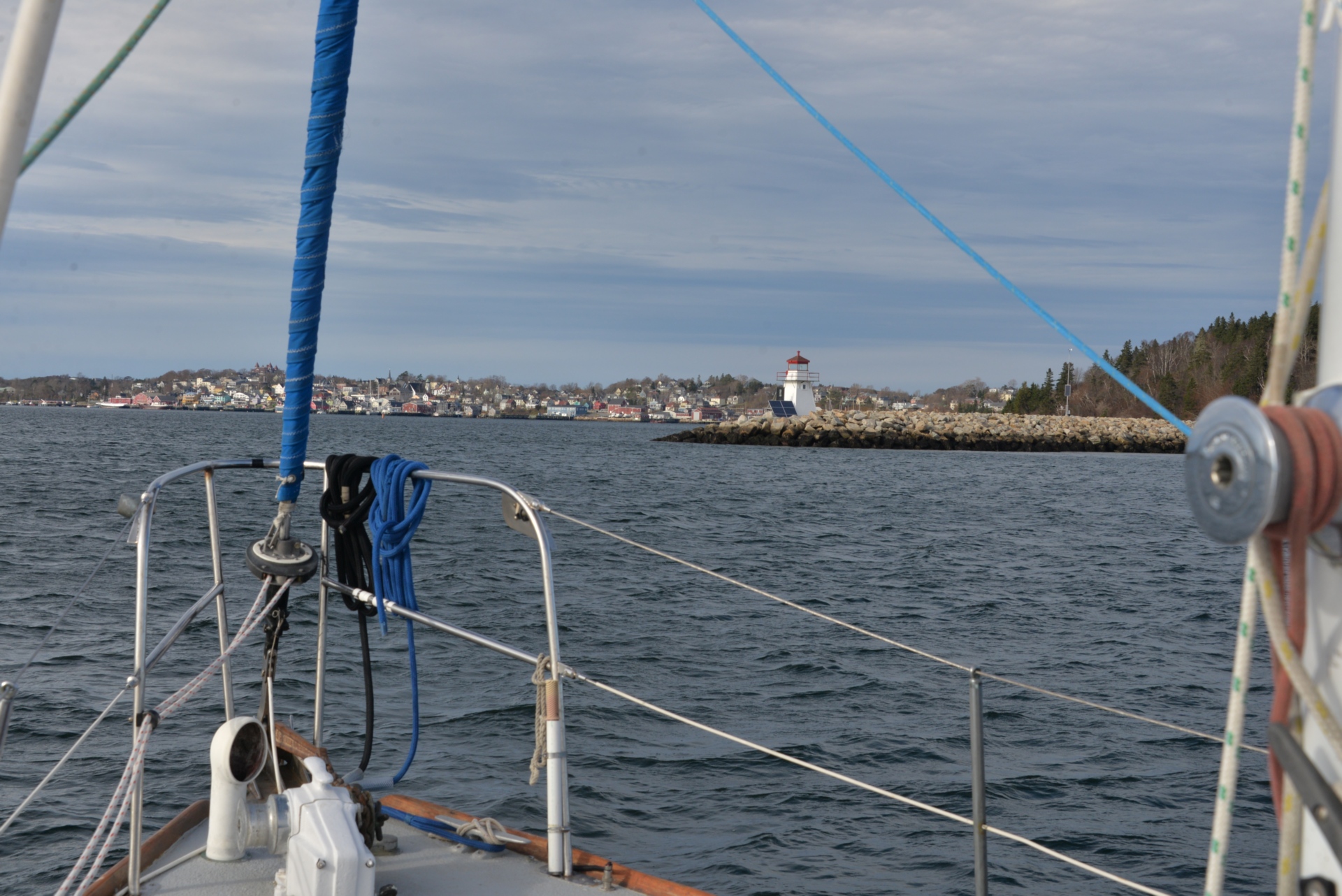
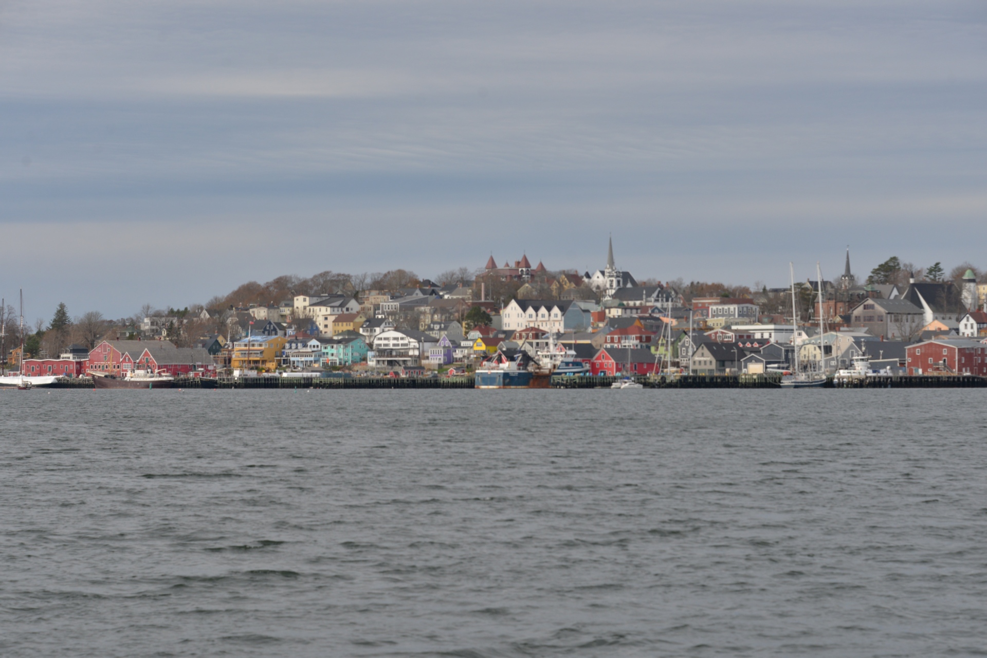
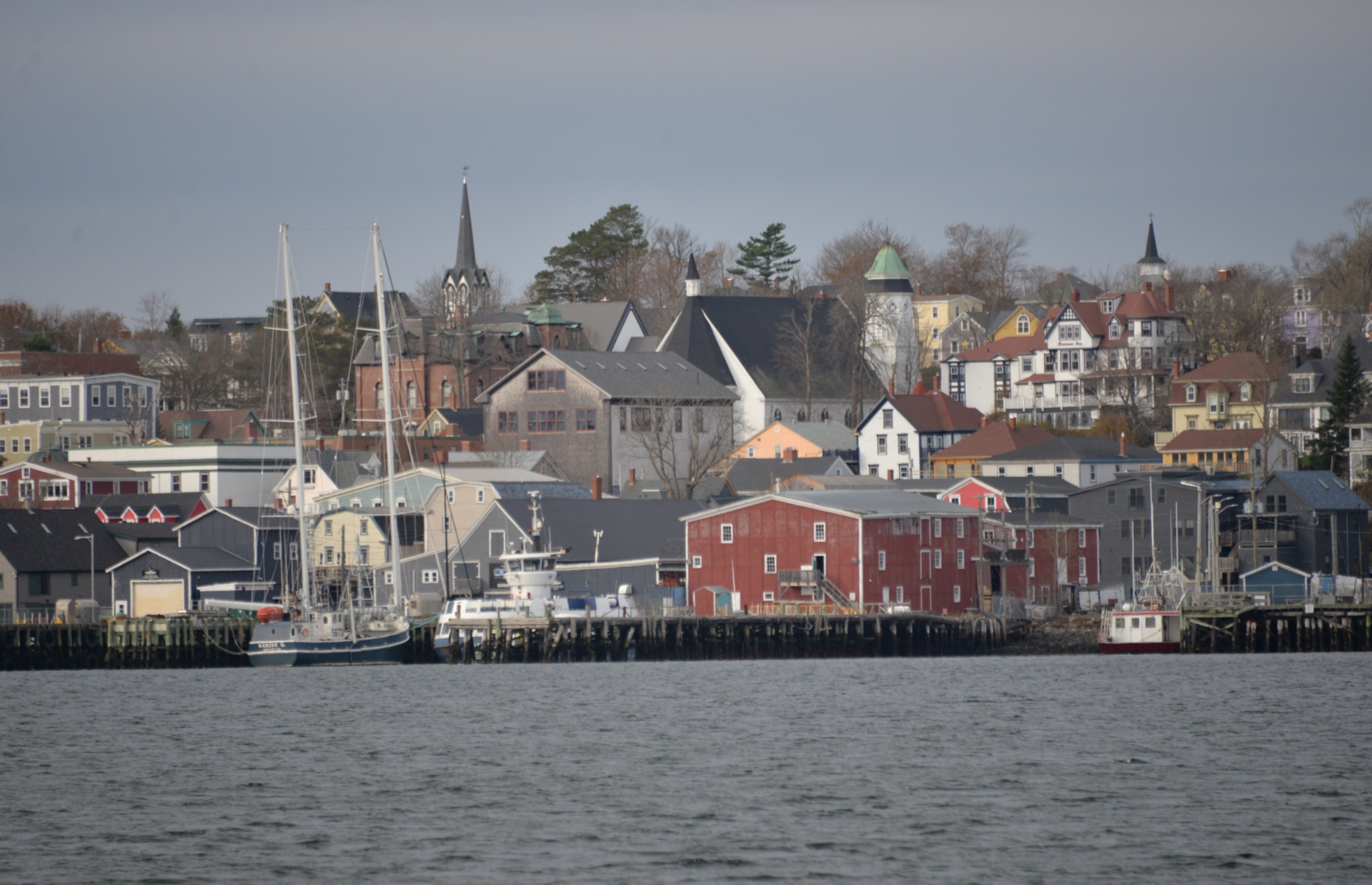
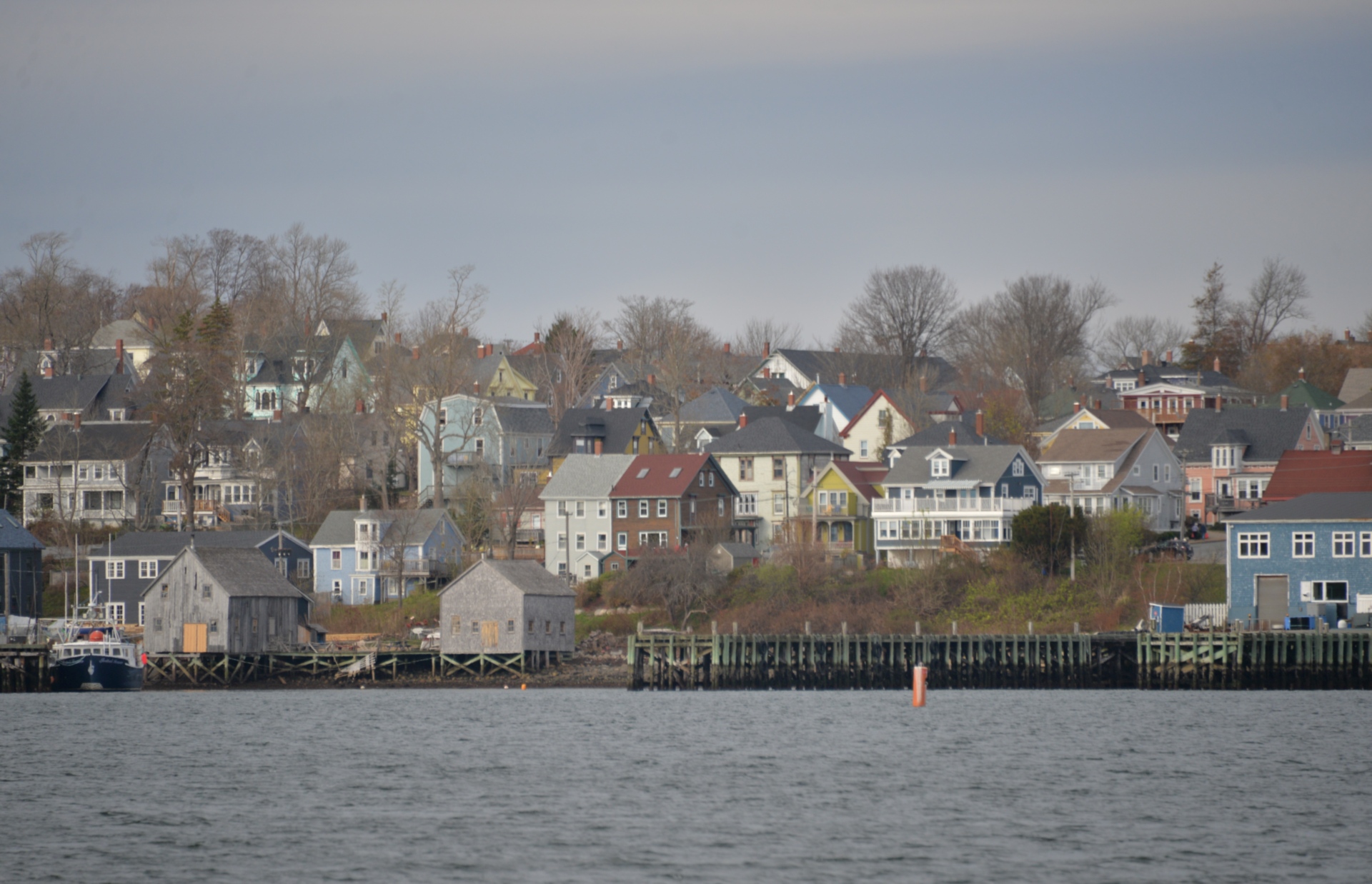
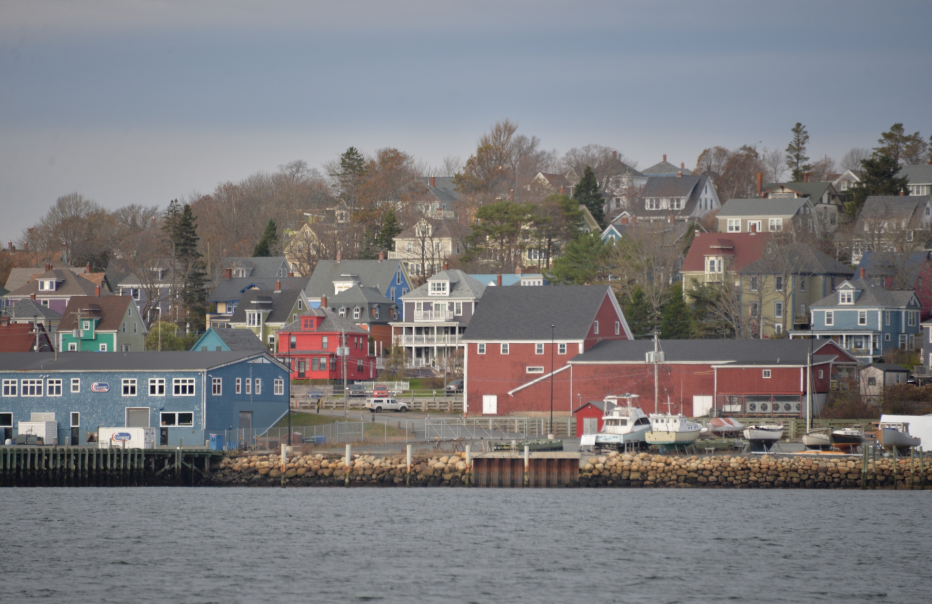
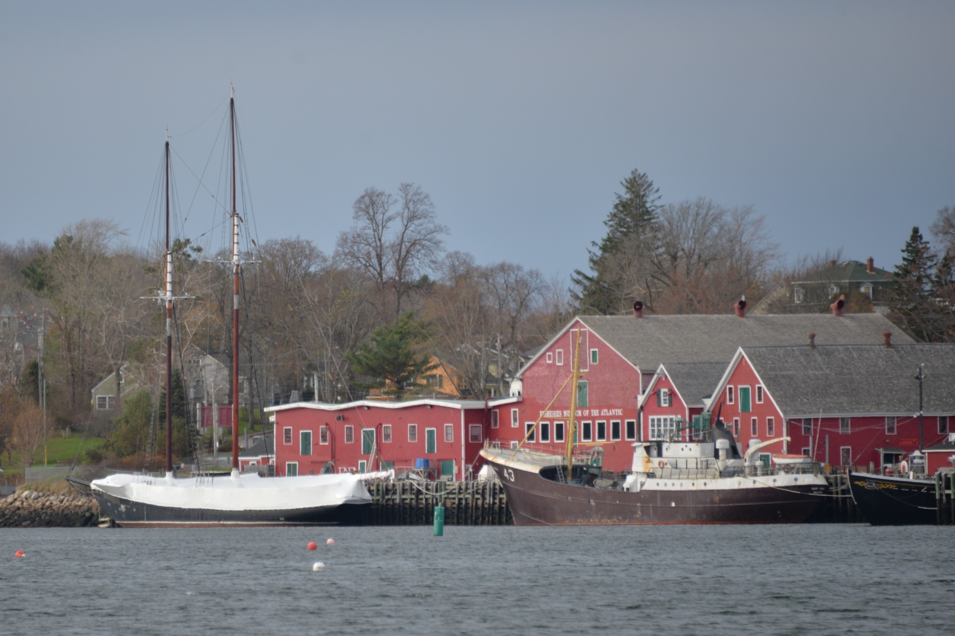
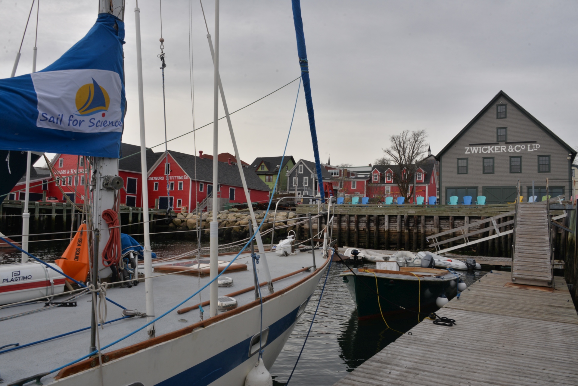
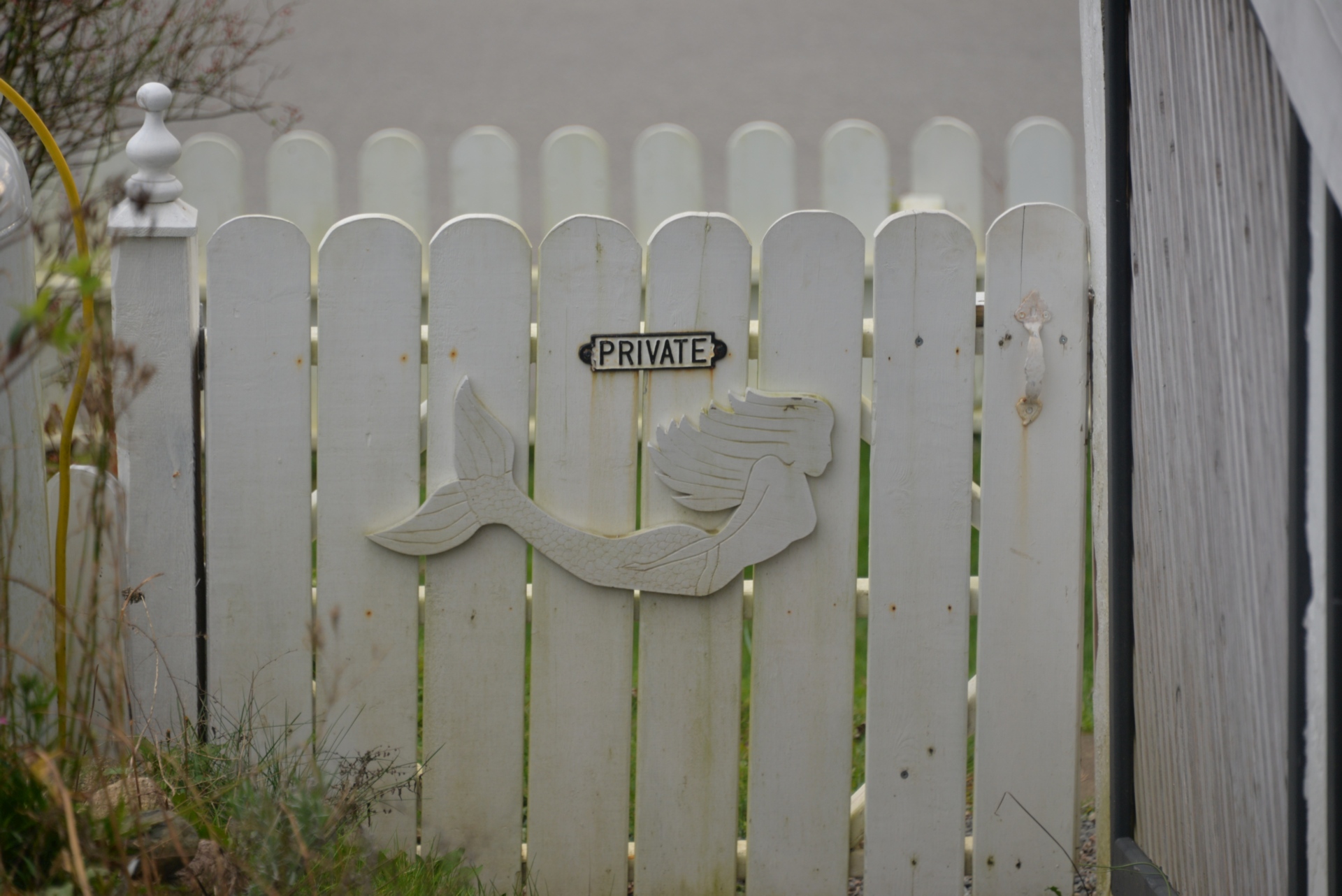
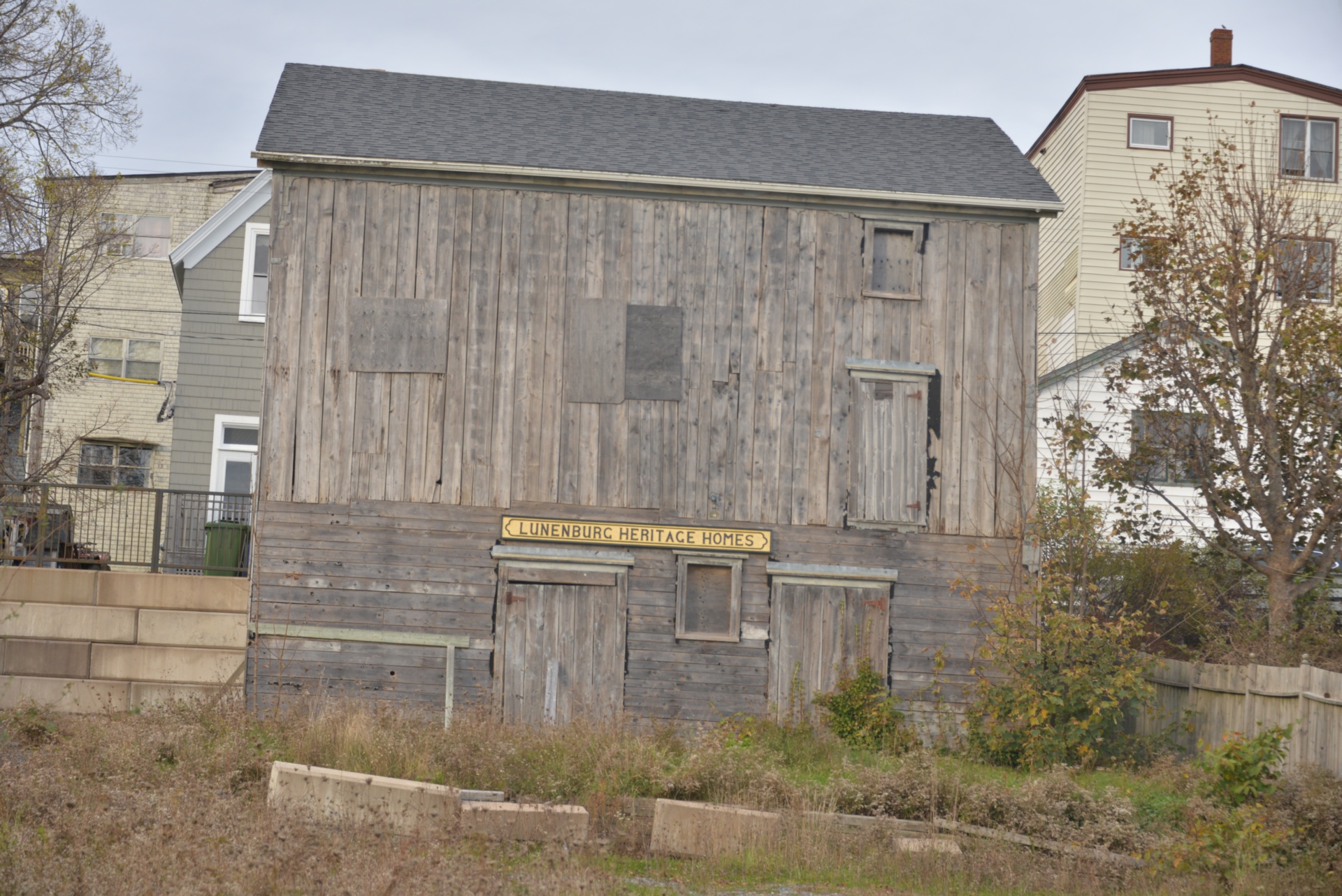
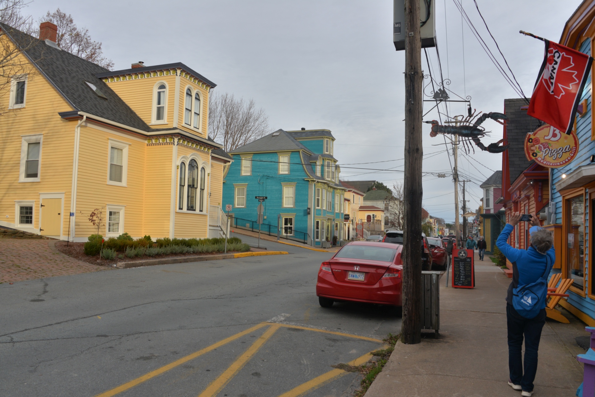
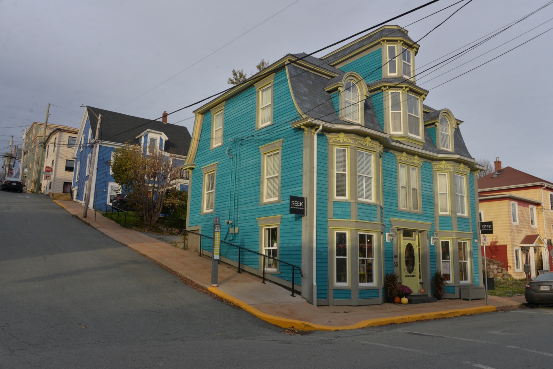
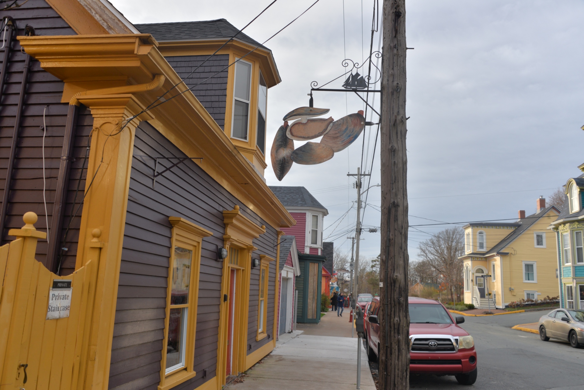
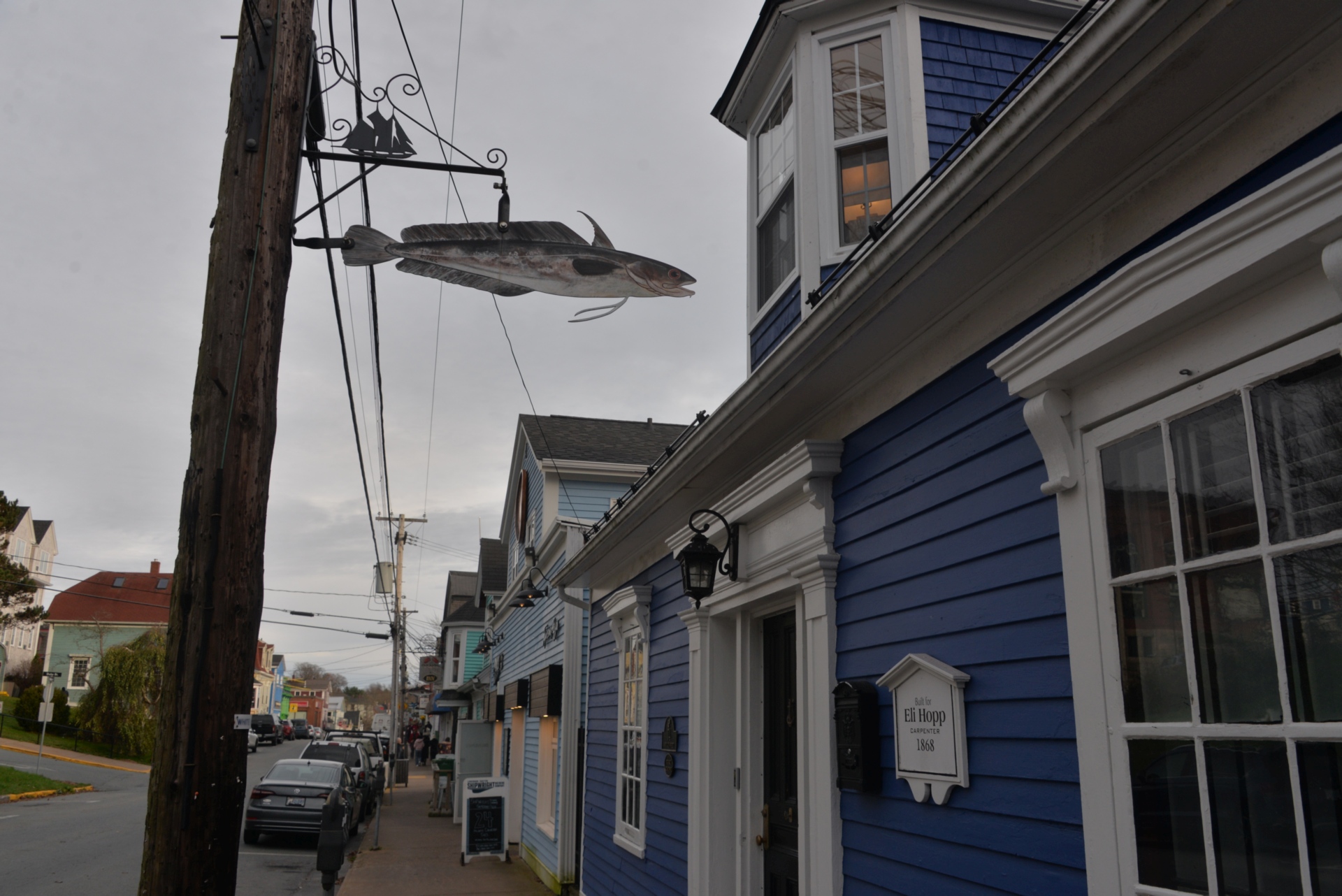
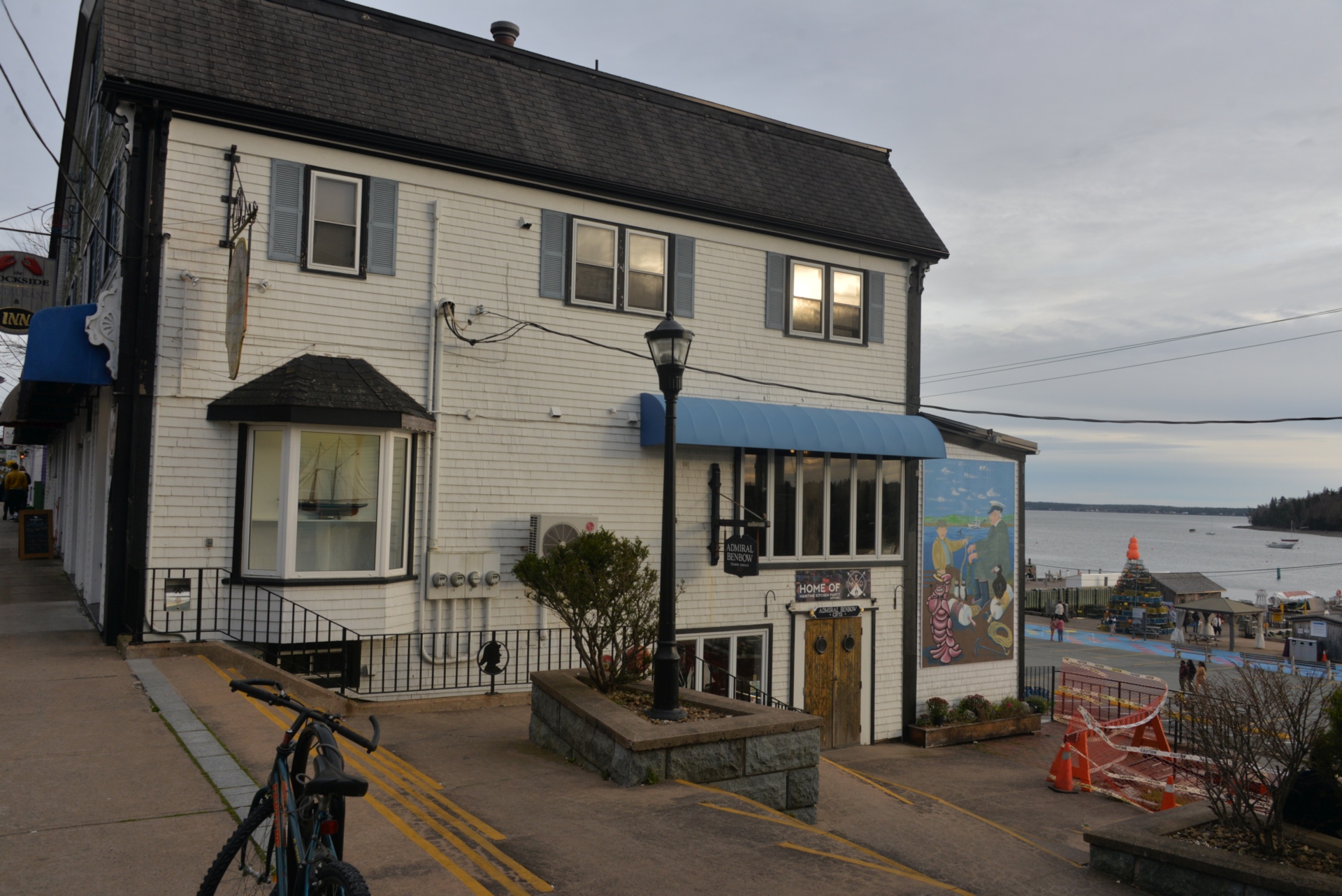
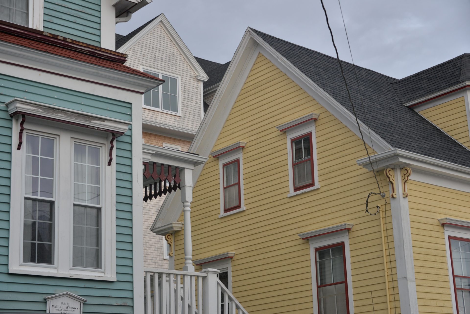
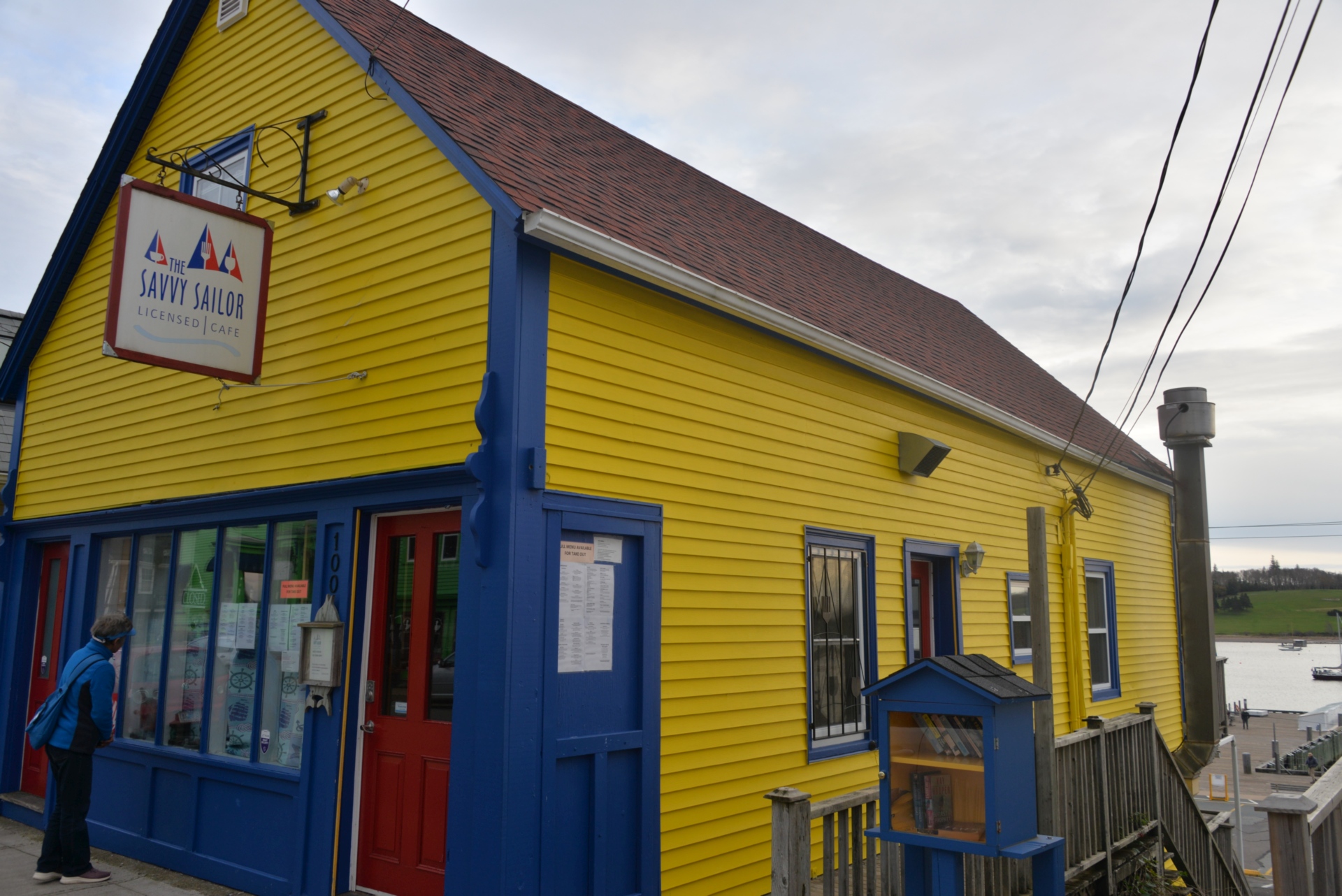
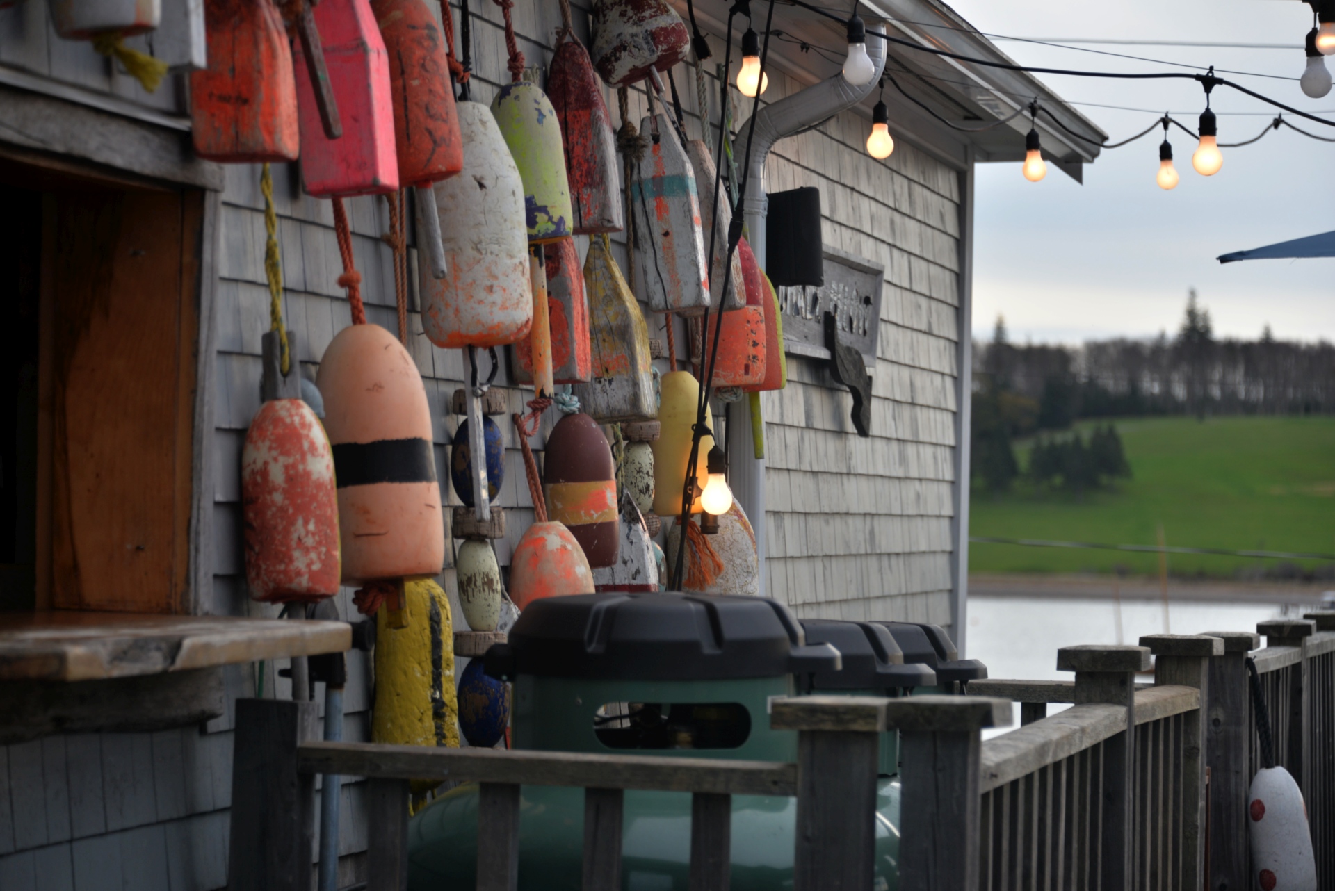
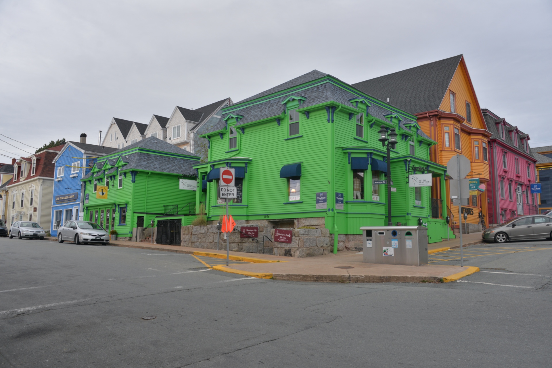
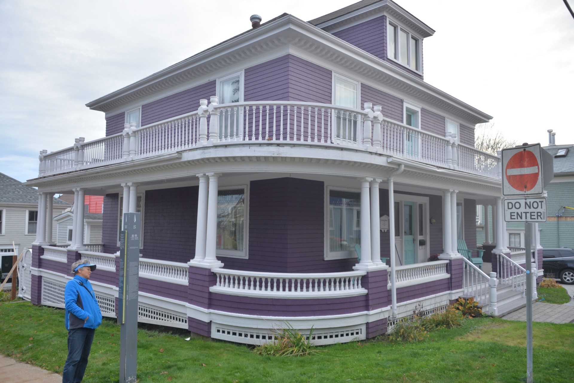
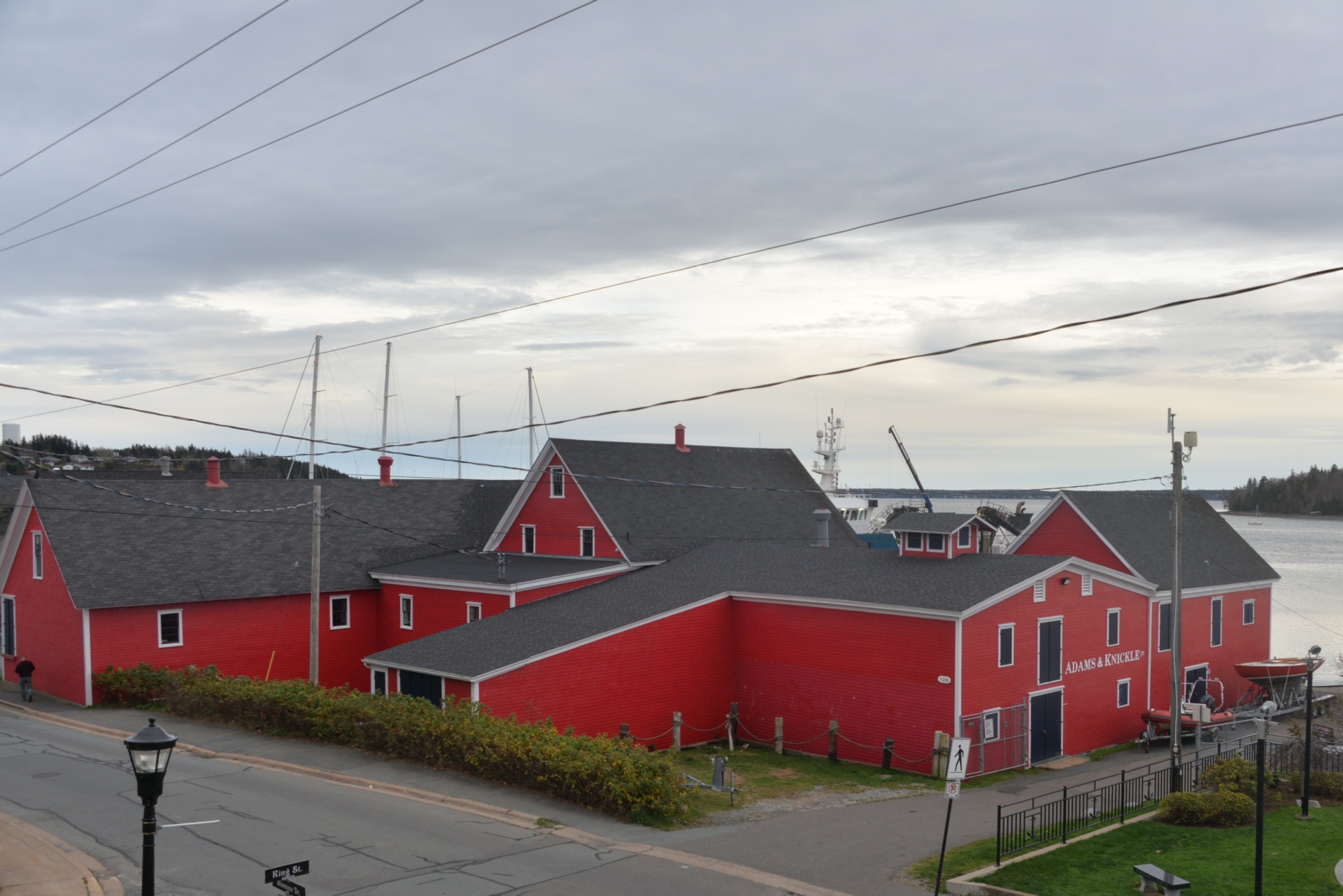
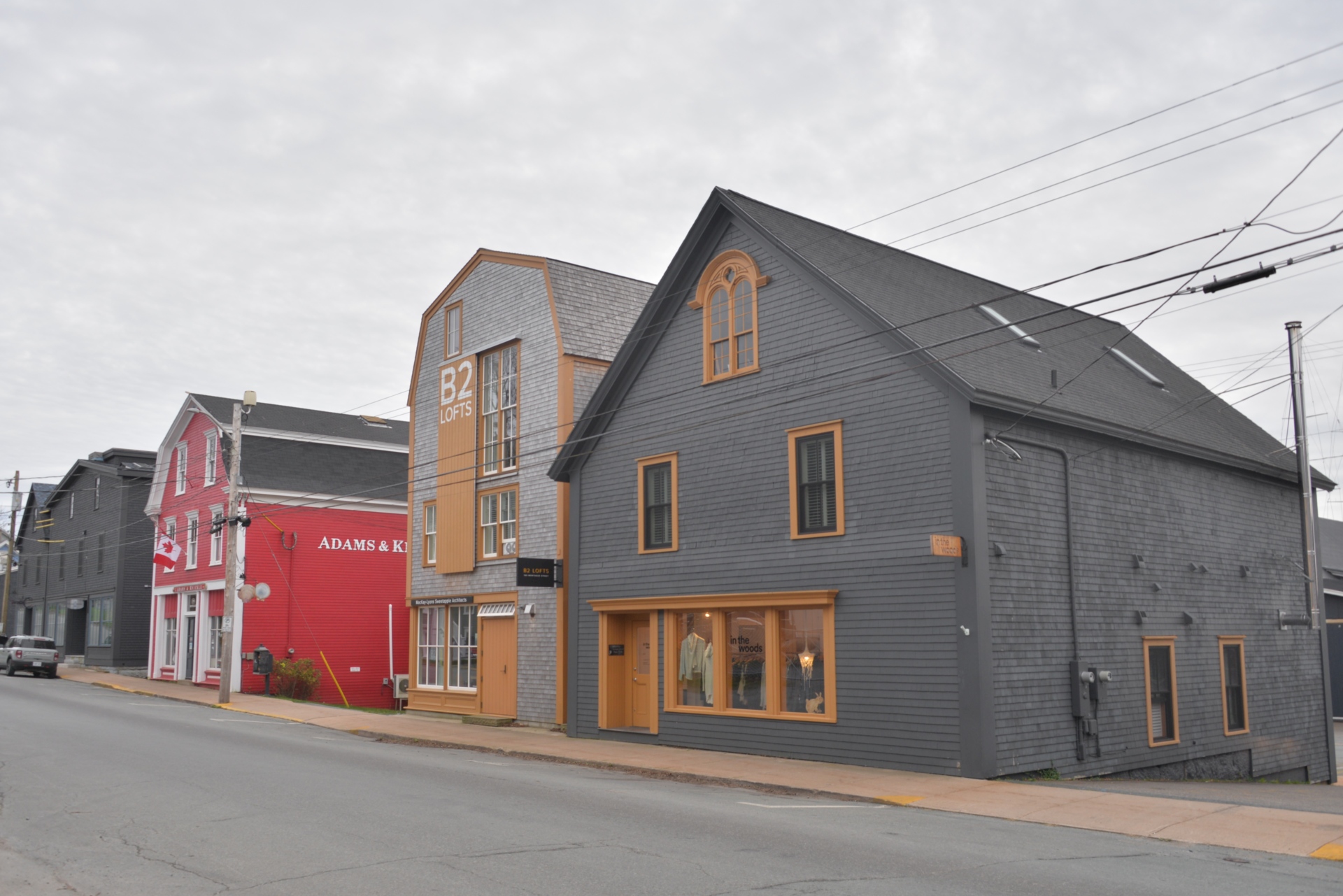
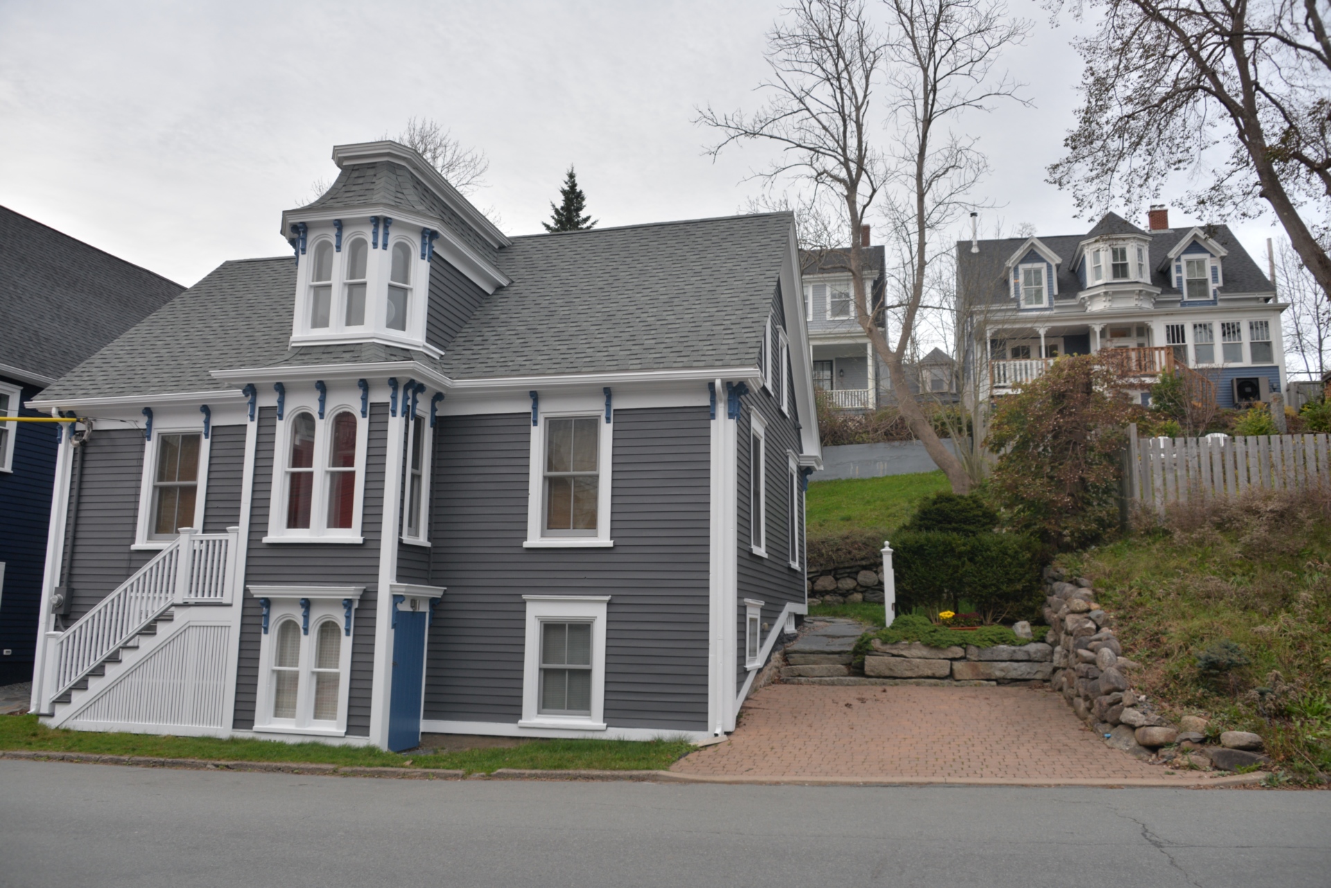
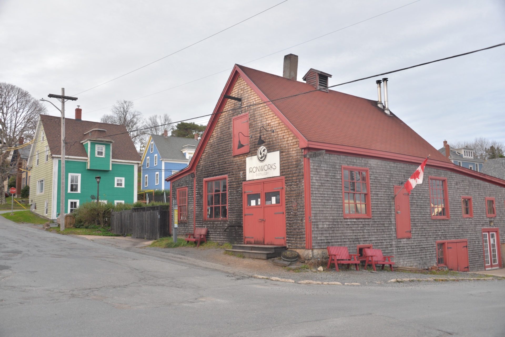
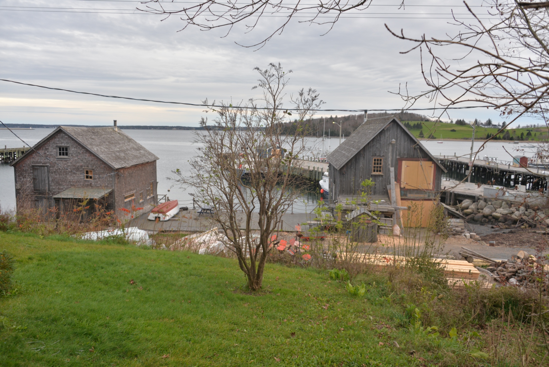
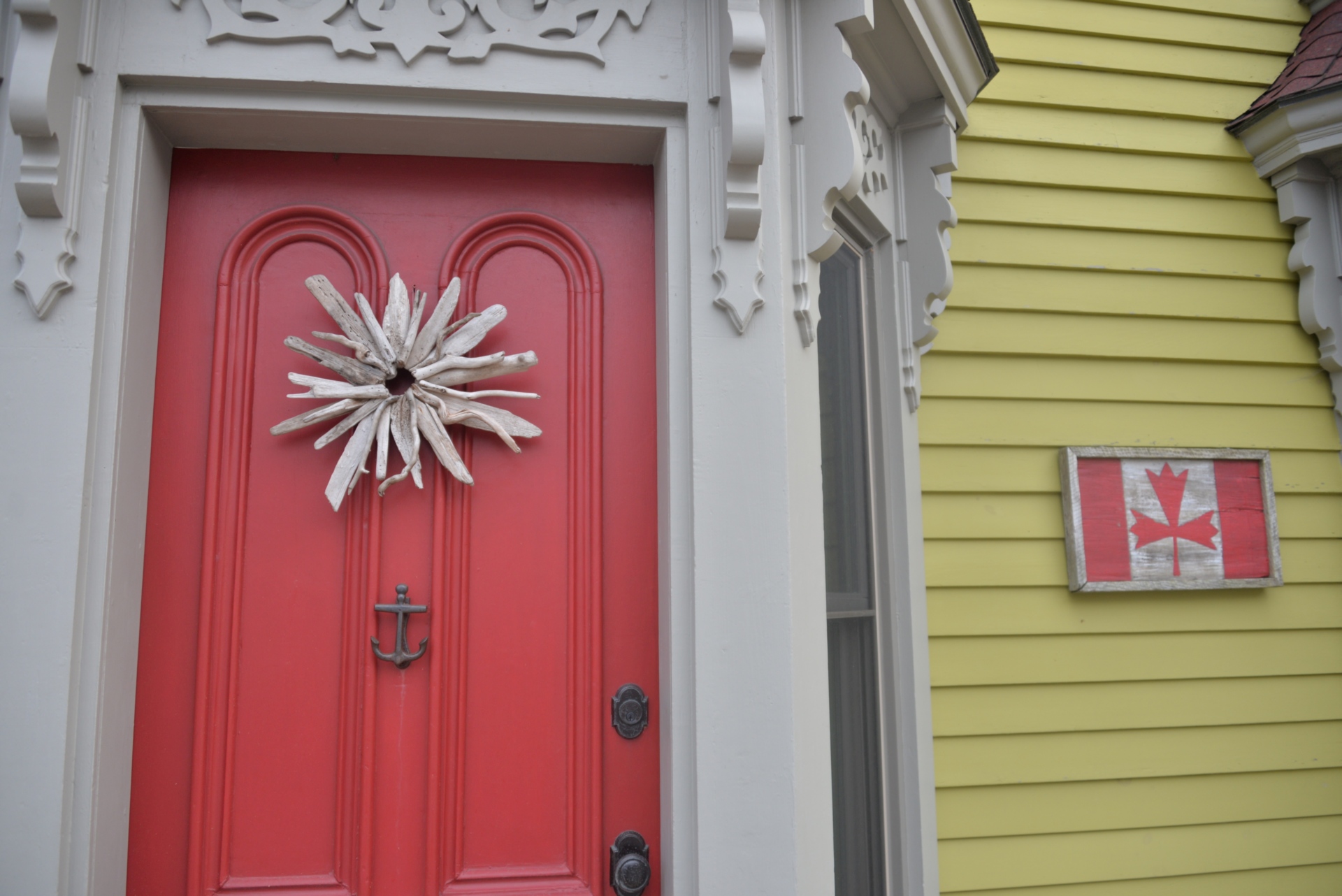
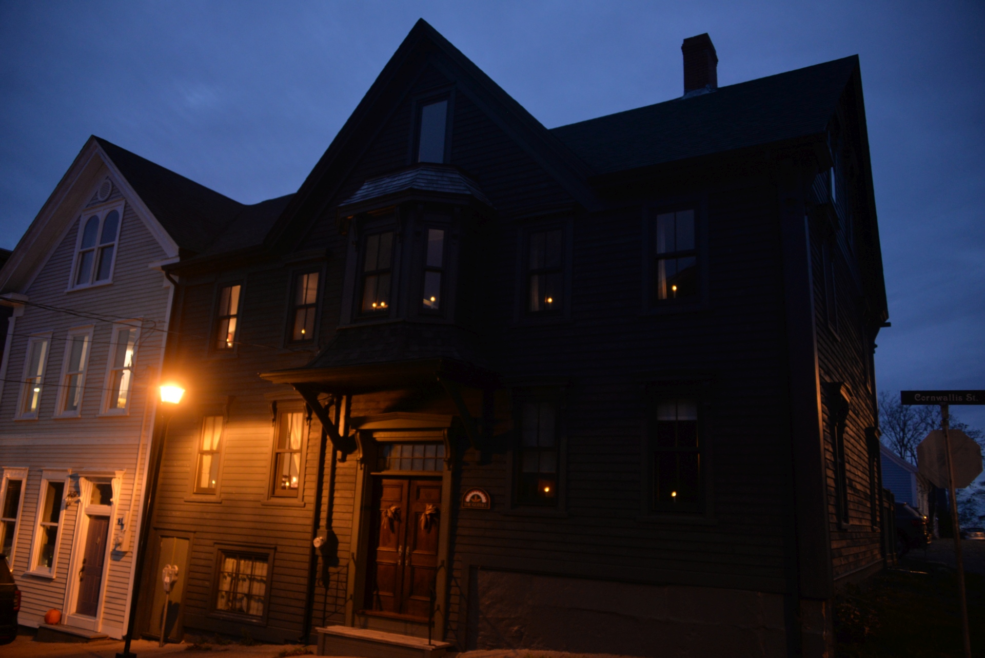
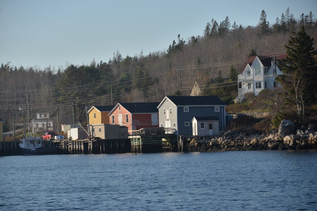
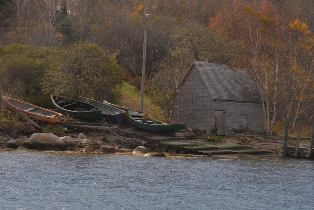
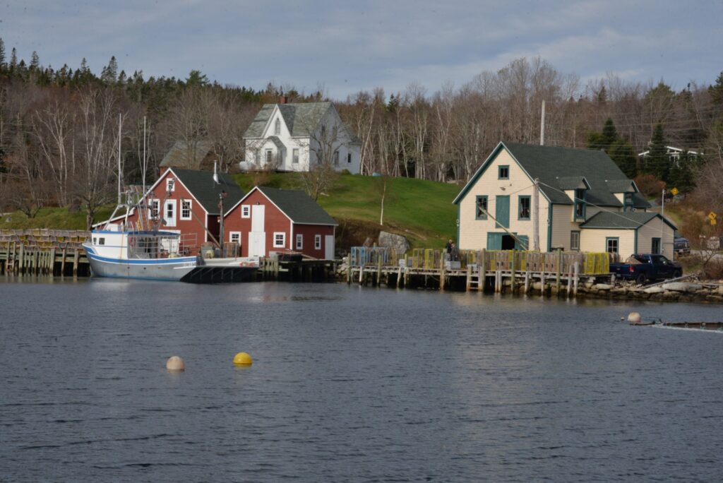
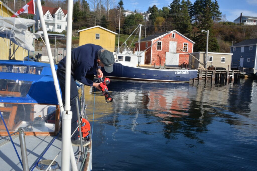
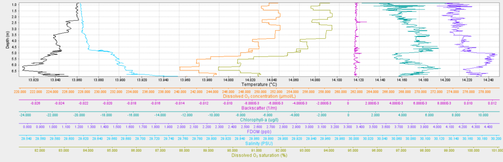
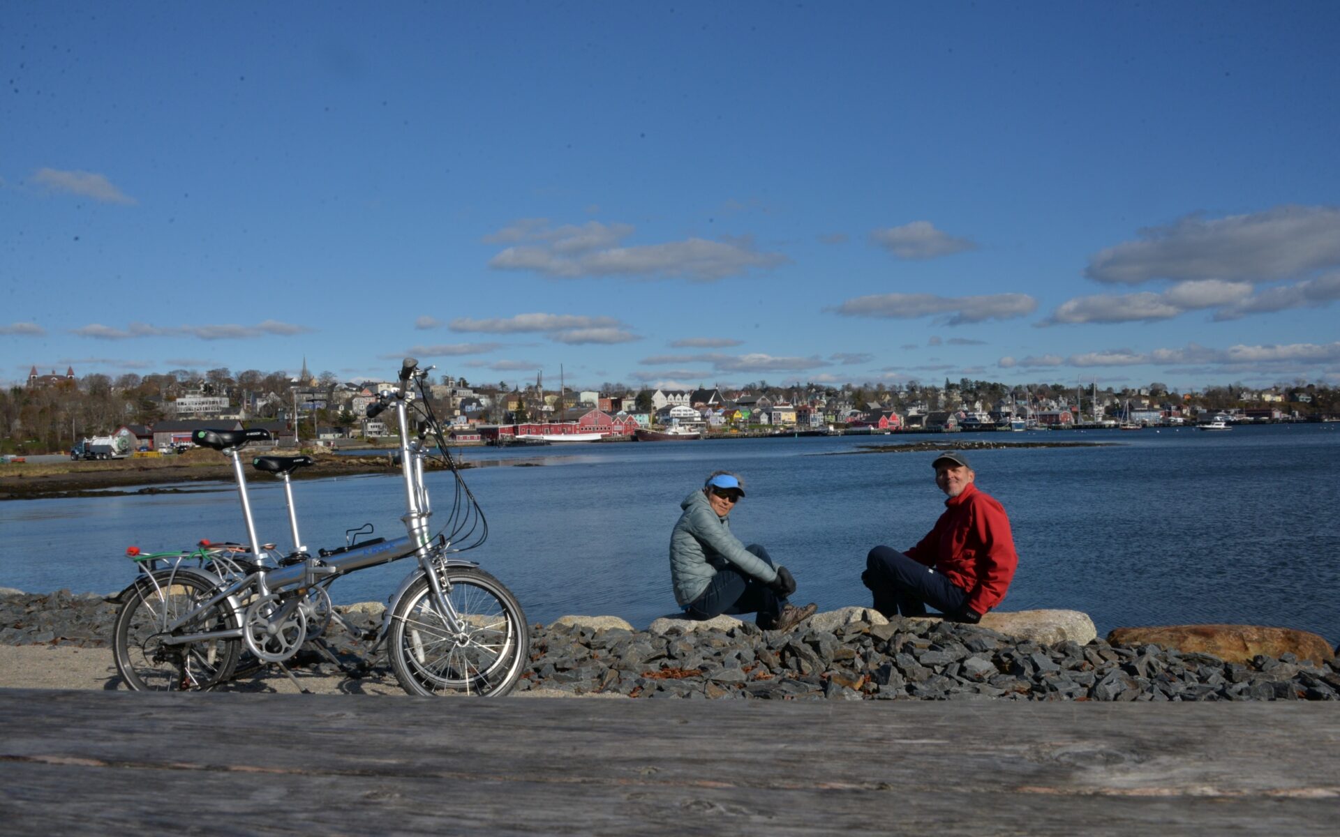
Biking to Point Pleasant

Once again, our bikes are unfolded, and it’s time to hit the road, pedal, and explore the surroundings! Today, we ventured to the extreme cape that separates the Northwest Arm and Halifax Harbour – Point Pleasant. Along the way, we made a stop at Dalhousie University, the largest university in Nova Scotia, known for its Oceanography department, where we had a planned visit with Clark. After biking along a scenic bike path in Point Pleasant Park, we continued towards the cape. This is the same cape we had recently sailed past on our sailboat, where the vast expanse of the Atlantic Ocean opened up before us.

On the cape itself, we encountered the concrete remnants of coastal fortifications and the Halifax Memorial, which commemorates 3130 Canadian servicemen and servicewomen from the Navy and Army who died or were buried at sea or who have no known grave in Canada. Our route led us past the container terminal, with towering pyramids of containers that resembled wooden bricks left behind by a giant child. These colossal structures accompanied us until we reached the famous Pier 21, known in immigrant circles. This time, the giant cruise ship Emerald Princess was docked there. After passing the cruise terminal, we followed a beautiful promenade that guided us towards the city center.

Unfortunately, dusk was setting in, and we began our journey back, making our way to our yacht in just half an hour. It was a fantastic bike ride, enriching our Halifax experience with new sights, exercise, and adventures.

Unfolding bikes
AYC from the shore path
Passing docked SV ‘Oceanolog’
Entry to Dalhousie University
King’s Colledge
Main buil;ding of Dalhousie University
Steele Ocean Science Building
Point Pleasure Park
Atlantic Ocean ahead!
Halifax Memorial
Navy bas-relief
Ruins of WWII fortification
Bonaventure Anchor – Canadian Peacetime Sailors’ Memorial-
Container Terminal
Bricks of trade
Pier 21, new visitors
Monument of Samuel Cunard, founder of Cunard Line
Monument commemorating volunteers
Monument “Immigrant”
On the Waterfront
Goodbye, Emerald Princess!
Downtown harbour
The Bicycle Thief Restaurant
Ecology movement’s right whale sculpture, made from the lobster trap and other ocean debris
Under the Wave
Maritime Museum
Wired sculpture with a sailboat
Citadel’s tower

Armdale Yacht Club

After spending a week at the Dartmouth Yacht Club, we decided it was time for a change. Regrettably, the surroundings near DYC were predominantly industrial, far from the serene setting we sought. Following a visit to Yura’s house and a stopover at the Bedford Institute of Oceanography (BIO), we set sail from DYC, heading towards the North-West Arm, located within Halifax, with our destination being the Armdale Yacht Club. Along the way, we made a brief stop at COVE, hoping to connect with our ex-colleagues, but they weren’t available at the time.

The Armdale Yacht Club possesses its unique charm. Situated on what is essentially an island, it boasts a yacht club office perched on a commanding hill, with its docks encircling the island. A bit of historical context adds intrigue to the place—this island, from the early 19th century, once housed a prison for prisoners of war, initially housing the French and later the Americans. In addition to the prison, there were facilities such as a hospital, officer quarters, and guard accommodations. In proximity, on Dead Man’s Island, lay a cemetery where deceased prisoners of war found their final resting place. In 1949, the municipality transformed the former prison into a yacht club, becoming a gathering point for yachtsmen from all corners of Halifax.

But most importantly, at this yacht club, we found a mechanic who agreed to attempt repairing our engine. The high-pressure compressor had been removed and sent for repairs, but it turned out that there were no spare parts available, leading us to endure a week-long wait for their arrival. During this time, we occupied ourselves with various other tasks on the yacht, including the use of our trusty folding bikes for exploring the surrounding area.

Approaching the COVE
Centre for Ocean Ventures and Entrepreneurship

Some of the Unmanned Surface Vehicles (USV):-on left Wave Glider (Liquid Robotics) and far DataXplorer (Open Ocean Robotics)
Passing Point Pleasant with the Halifax Memorial
Passing Dingle Tower
The Northwest Arm
Docking in the Armdale Yacht Club
Late-night racing (three Bluenoses here!) with our ex-co-worker Mat Dever on one
AYC marina with one of the radial docks
Armdale Yacht Club’s main building, located on the top of the hill
Photo of the Melville Island ca.1949, when AYC was established
The old prison
Now it provides good storage rooms for AYC members
Here for the first time we’ve seen the traditional way to haul-out
The wooden ramp is pulled out of the water by a winch with a boat sits in its own cradles
On the hard!


Visiting the Bedford Institute of Oceanography

Our day set sail with a warm welcome for my former RBR colleague, Clark Richards, aboard our sailboat ‘Oceanolog’. It was a momentous occasion when I introduced him to my RBR concertoCTD measuring system, which now boasted state-of-the-art optical sensors. As we sat in the cabin, savouring cups of freshly brewed coffee, the stories flowed, and knowledge was exchanged, strengthening the profound bonds that unite oceanographers across the vast seas.

The day’s adventures took us to the Bedford Institute of Oceanography (BIO), a visit made possible by Clark, who now calls this place his professional home. It was here that I had the privilege of witnessing a Teledyne Slocum Glider equipped with RBR legatoCTD for the very first time. The sight of this glider transported me back to the countless hours I dedicated to calibrating and testing these devices back at RBR.

Inside the BIO museum, I stumbled upon a captivating exhibit, a treasure trove of historical oceanographic instruments and tools. Among the relics, a tiny ampoule held Japanese standard seawater, a testament to the meticulous metrology science that underpins oceanography, and in my case, my particular fascination with salinometry. And amid this rich tapestry of exhibits, I uncovered an Oceanographic Slide Rule, a relic from days gone by. This ingenious tool once guided oceanographers in calculating salinity and navigating the intricate depths of the ocean.

The day was a harmonious blend of past and future, where history met innovation, and camaraderie bridged the gaps of time and distance. It was a testament to the enduring spirit of exploration and discovery that fuels our passion for the seas.

A nice coffee chat with Clark Richards
View on the BIO dock from the second floor.
Japan Standard seawater ca.1975 – used to calibrate bench salinometers. Nowadays the only IAPSO Standard Seawater, manufactured by OSIL company (UK) is acceptable worldwide standard for salinometry.
Oceanographic Slide Rule – mechanical calculator of salinity from conductivity, temperature and depth.
Reversing Thermometer – a reminder of my student times, we had to use them a lot!
Knudsen water bottle with messenger and reversible thermometers (two for temperature, one for pressure) frame – a workhorse of old days oceanographers: oceanographic station consisted of a couple of dozen such samplers, set at different depths (standard horizons) and closed by sent down messengers.
A modern Niskin water bottle attached to the CTD frame (this one is designed in the BIO) – altogether 24 10L bottles can be set and fired at specific depths.
A lander with yellow buoyancy floats – the instrumental platform for long-term deployment. On the left, there are boxes with ARGO floats – hope we’ll get one onboard!
Clark with RBR concertoCTD (similar to mine, but in a plastic body, rated to 750m depth)
With Teledyne Slocum Glider, pointing at the “red nose” of RBRlegatoCTD