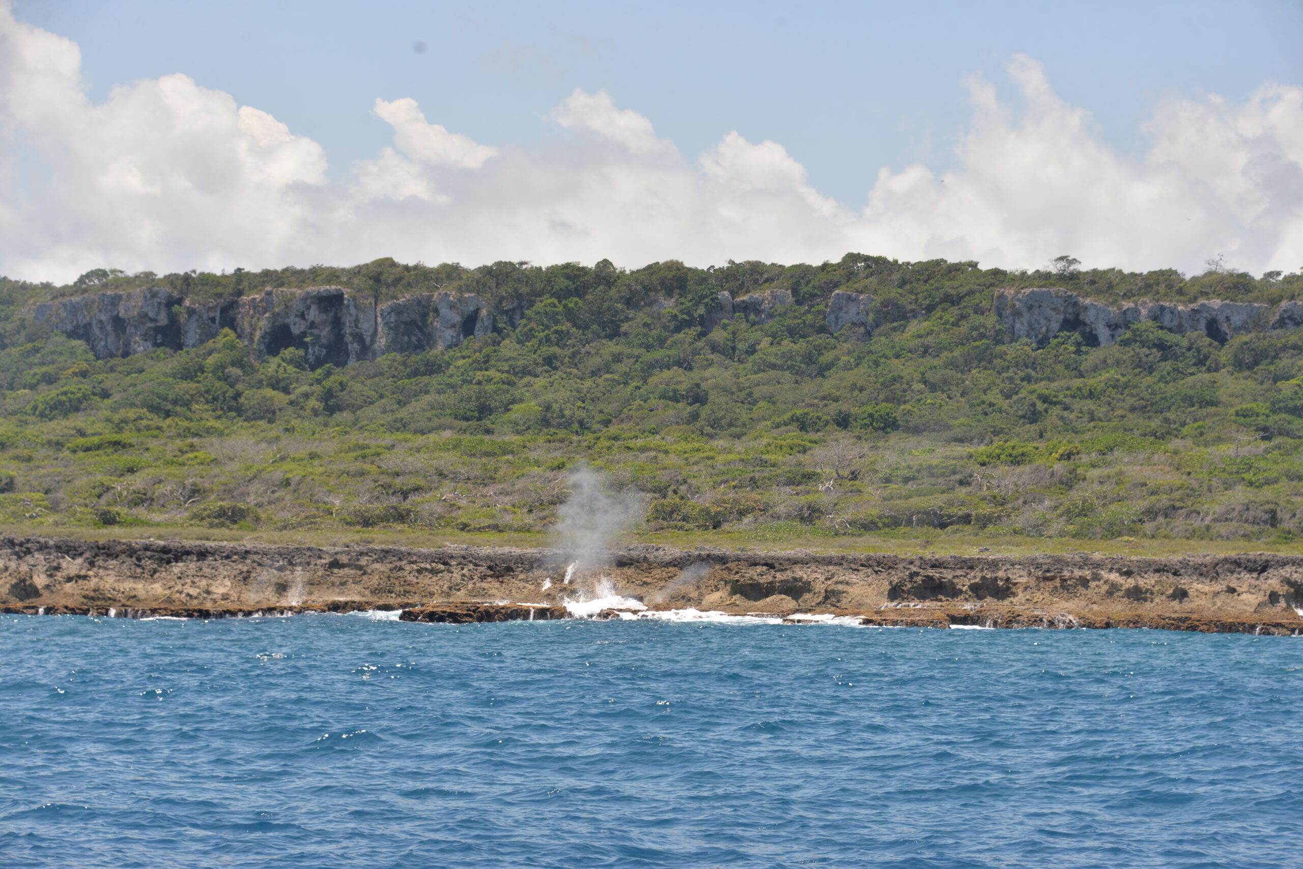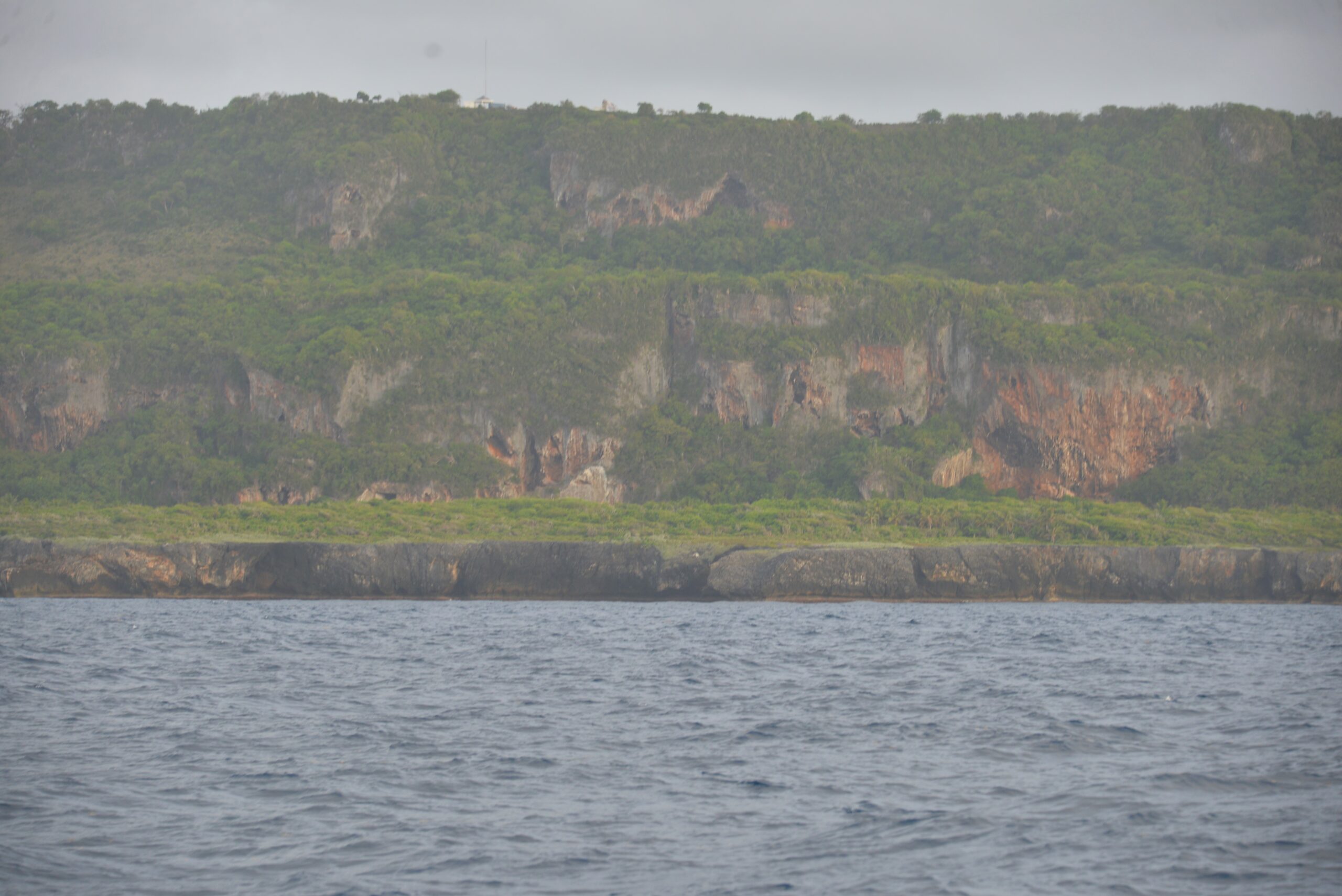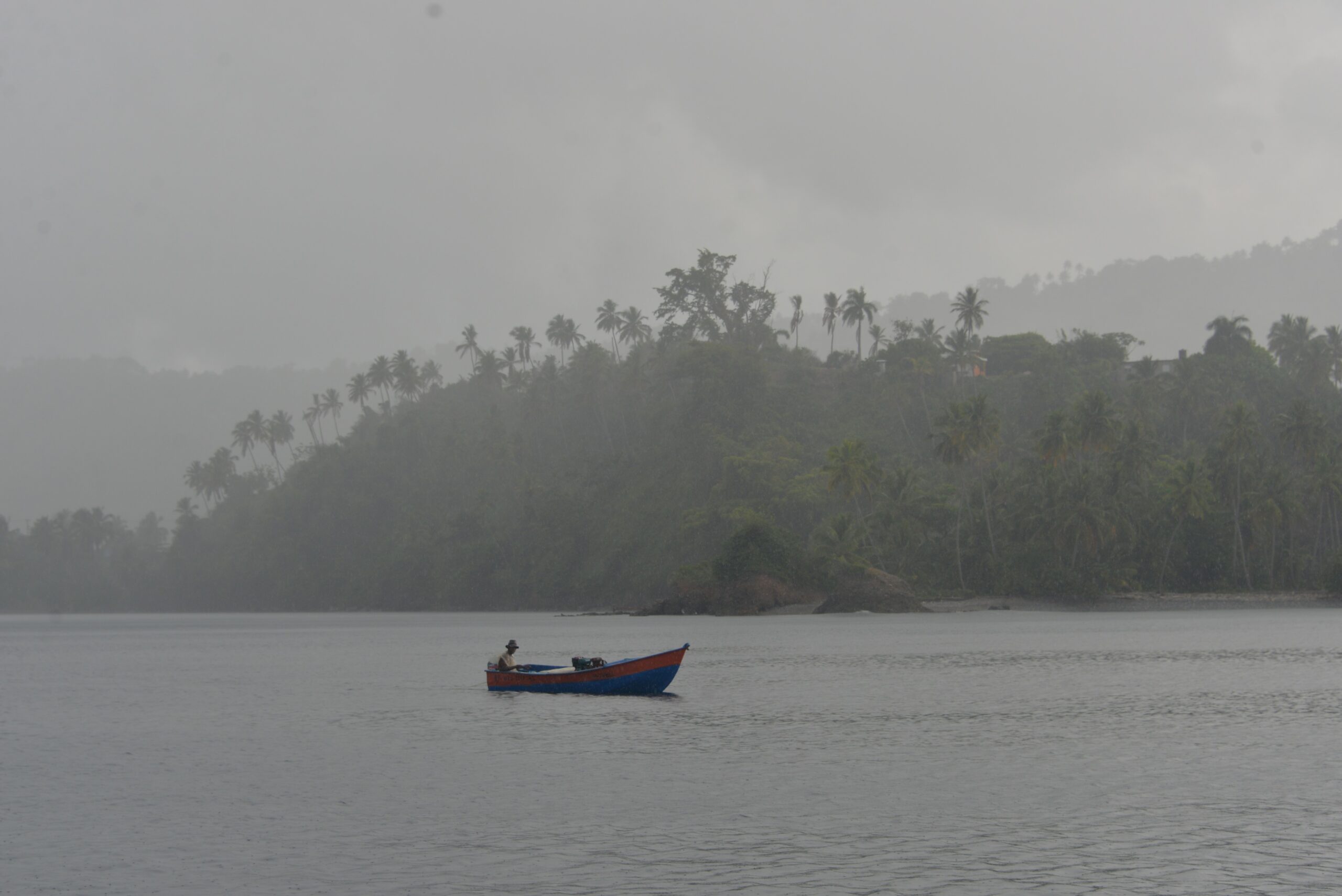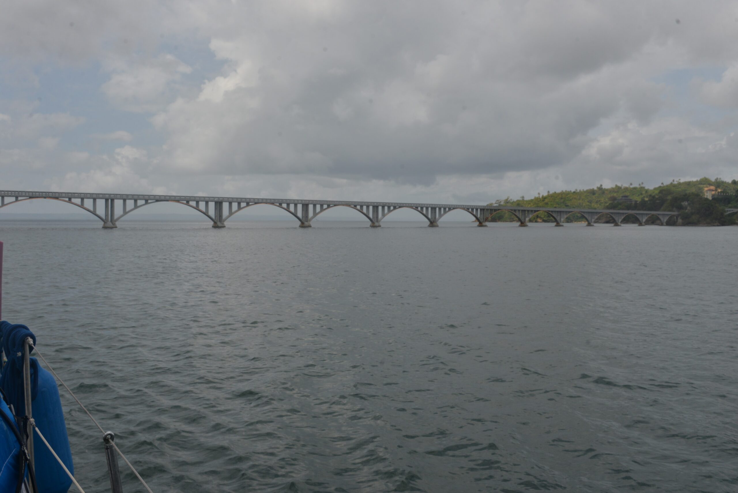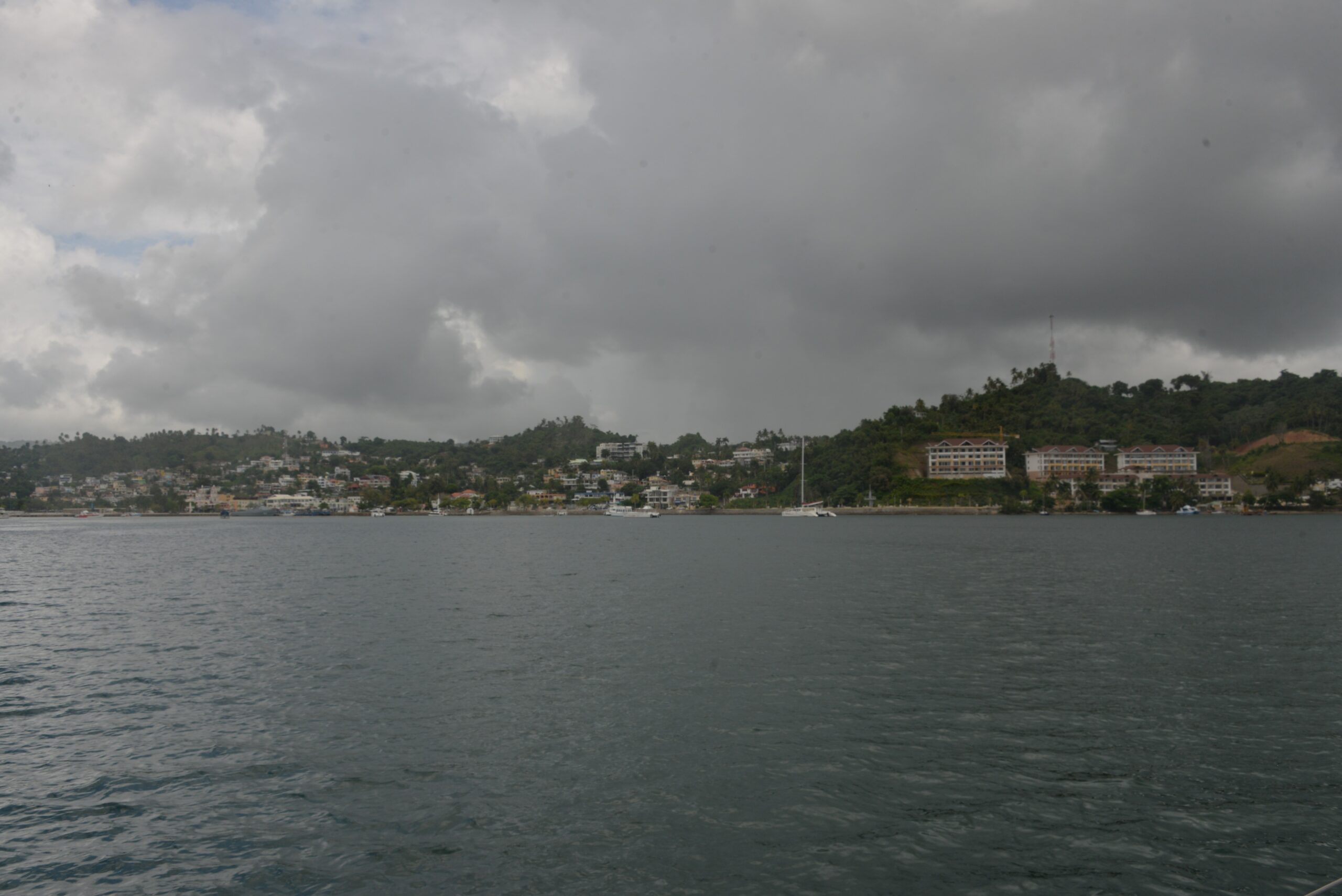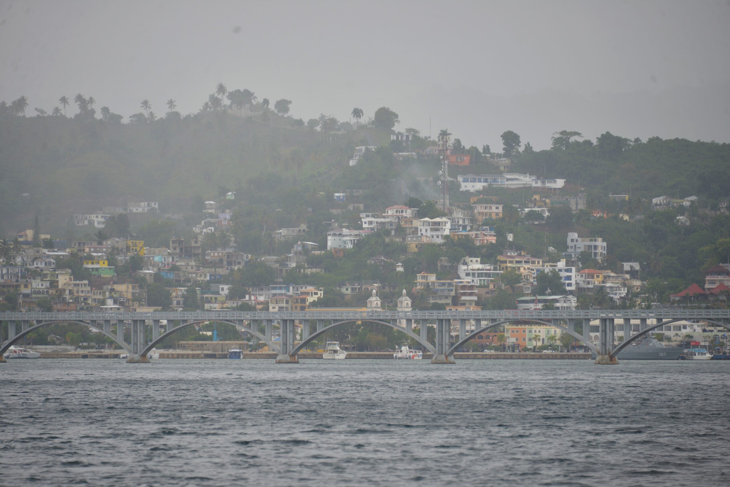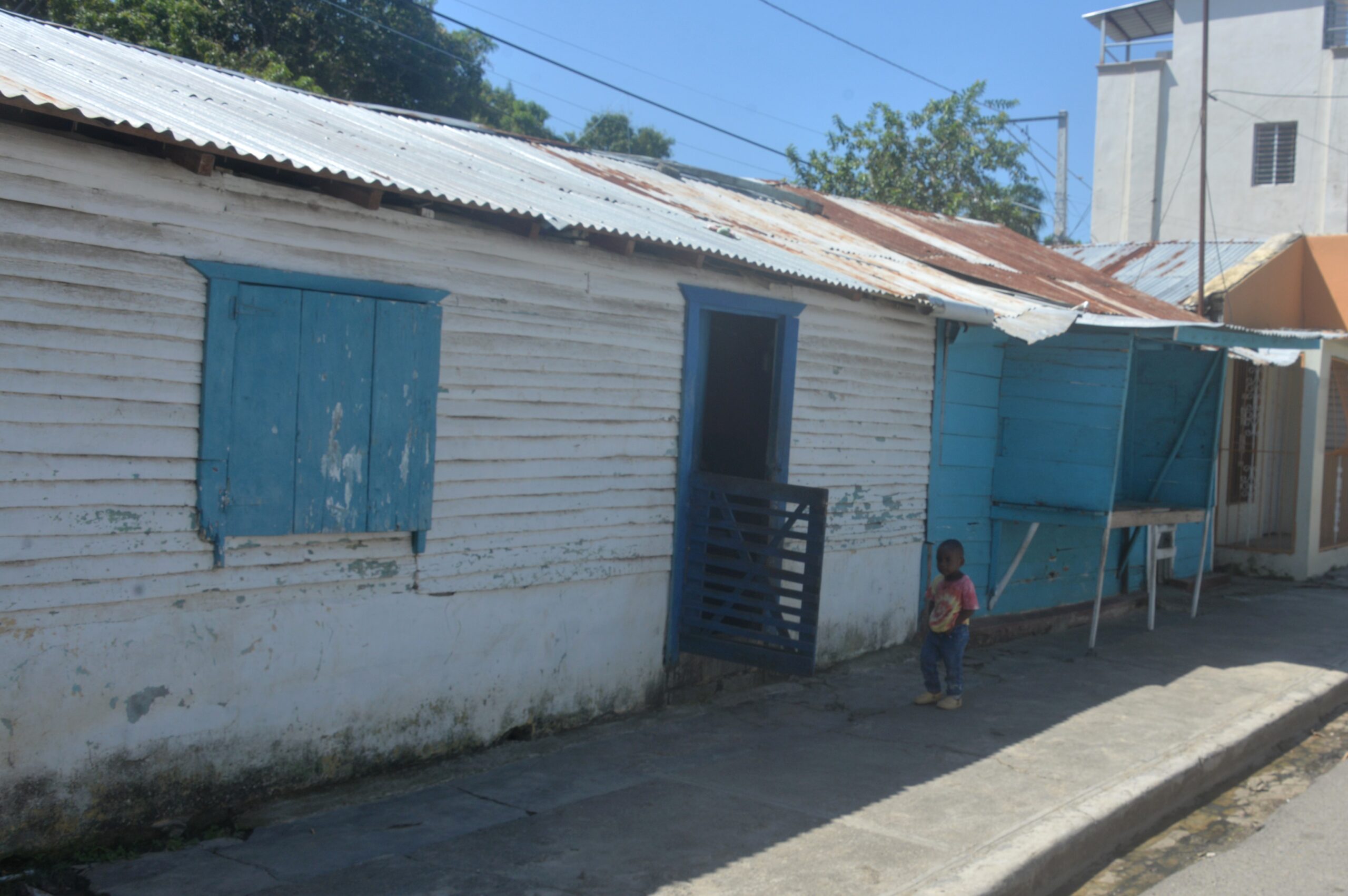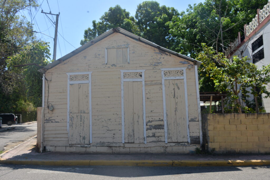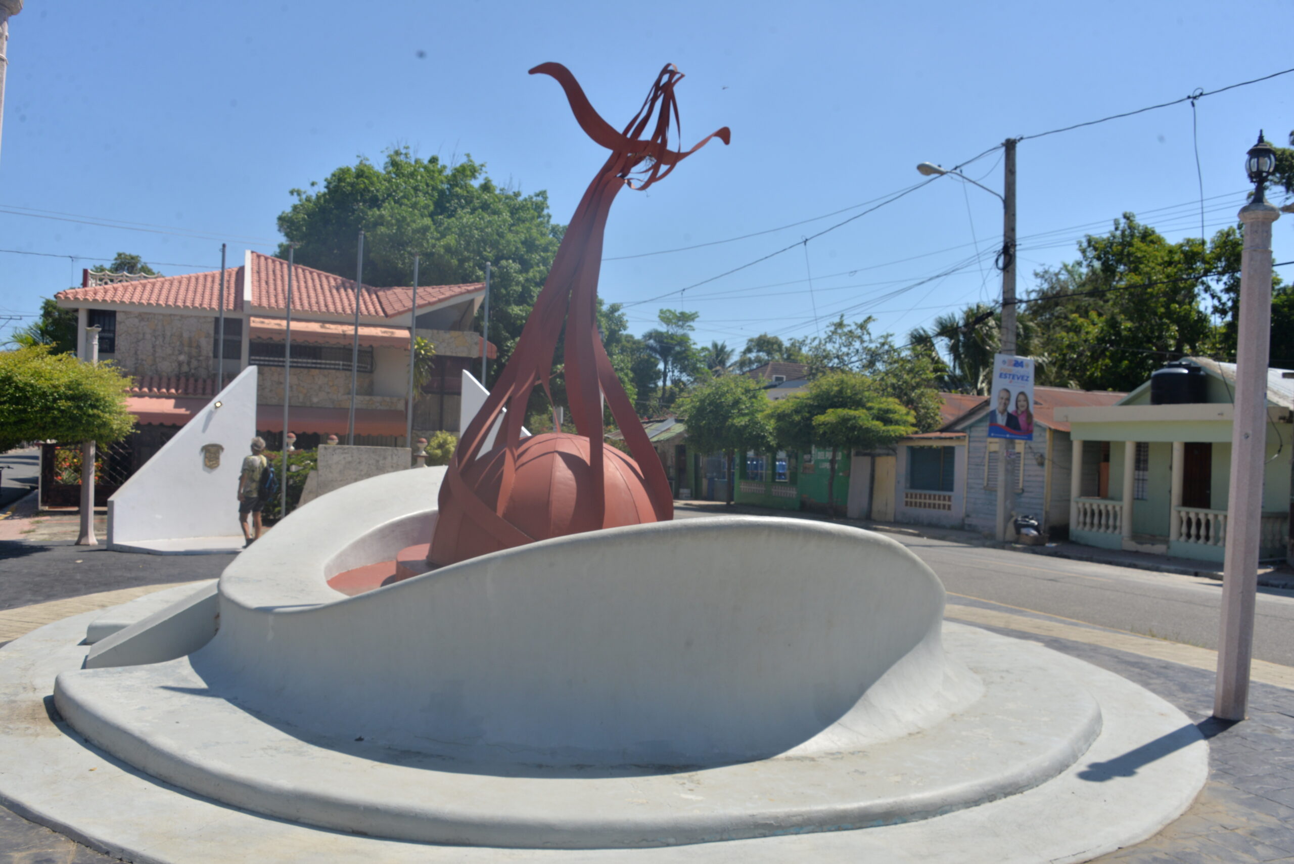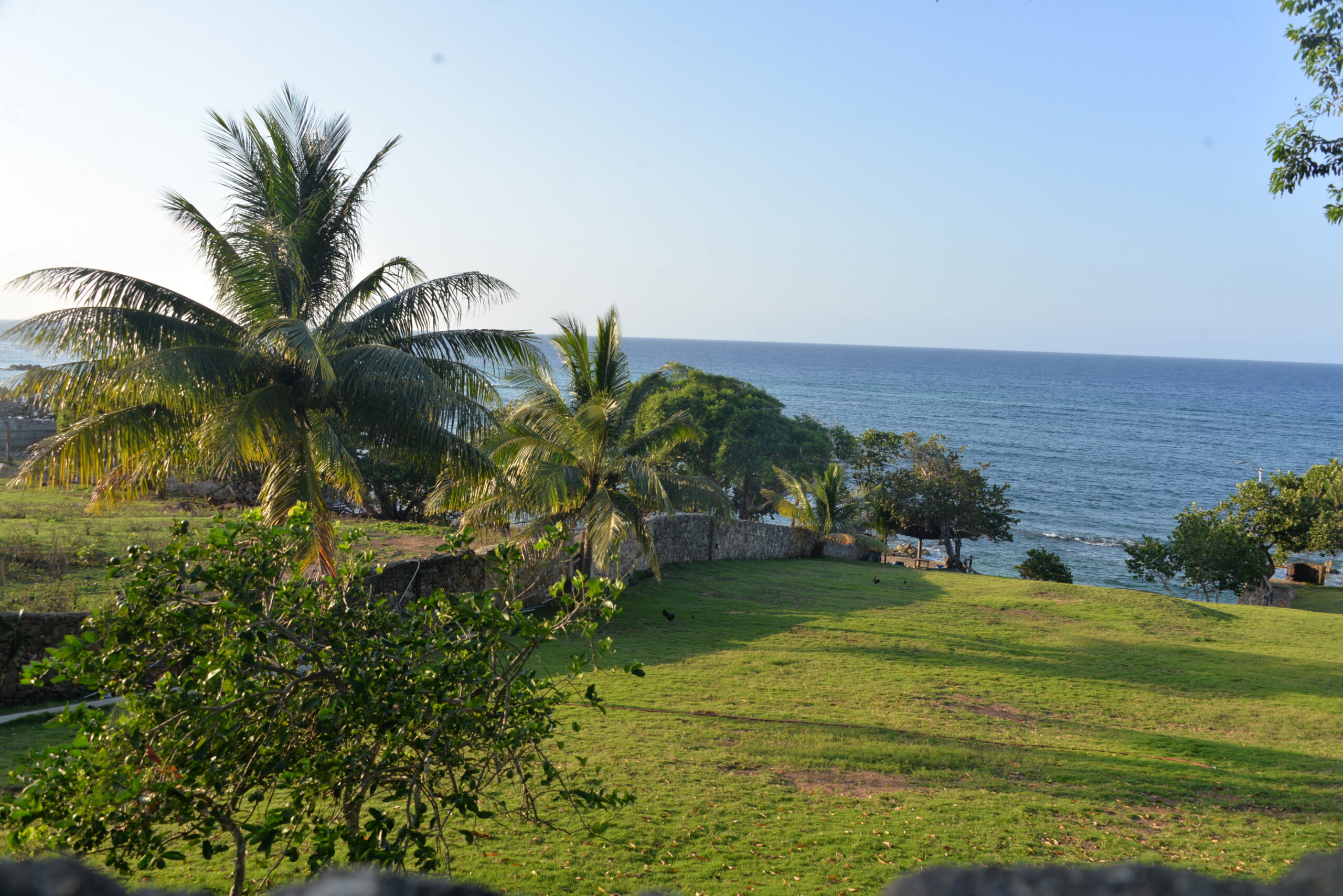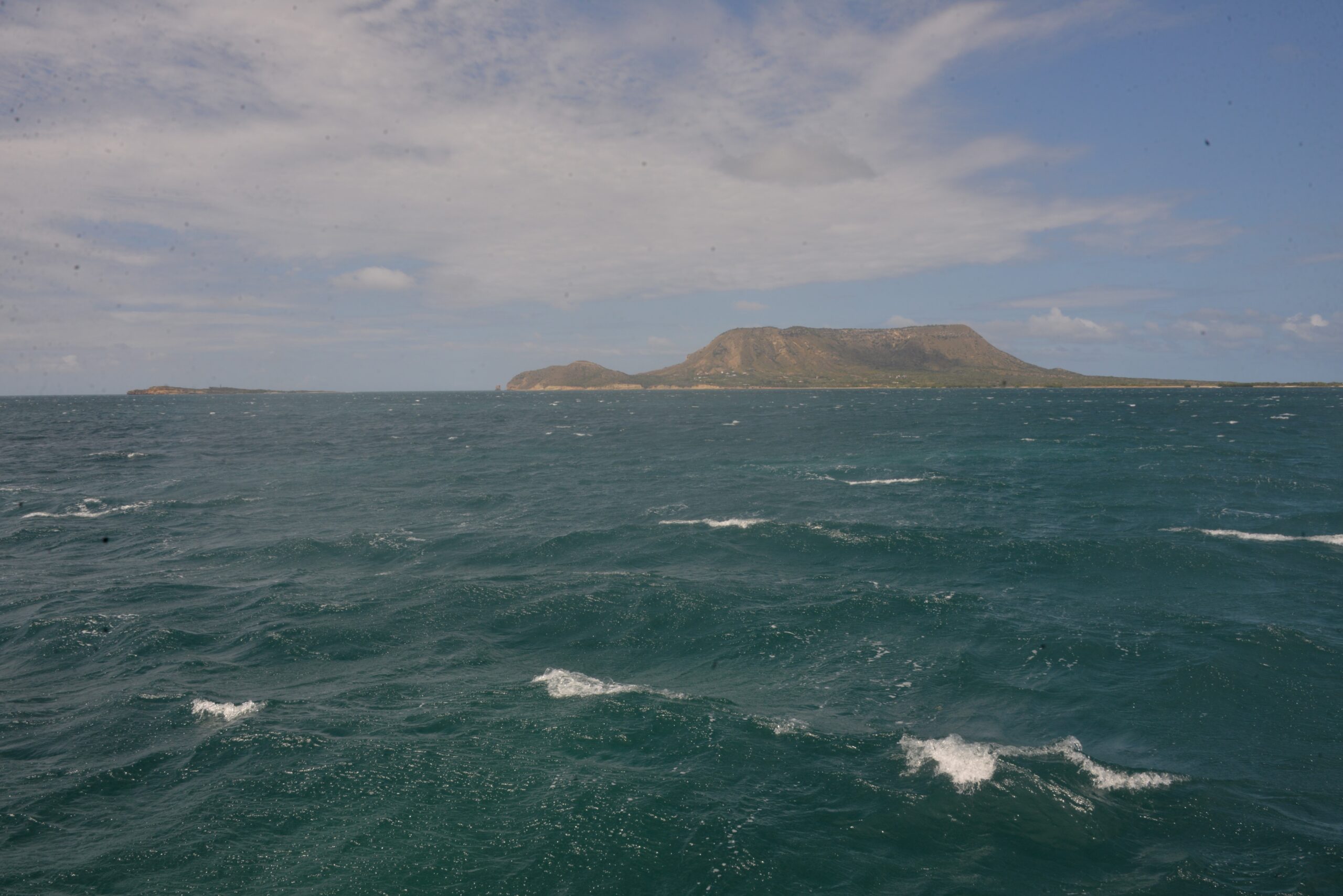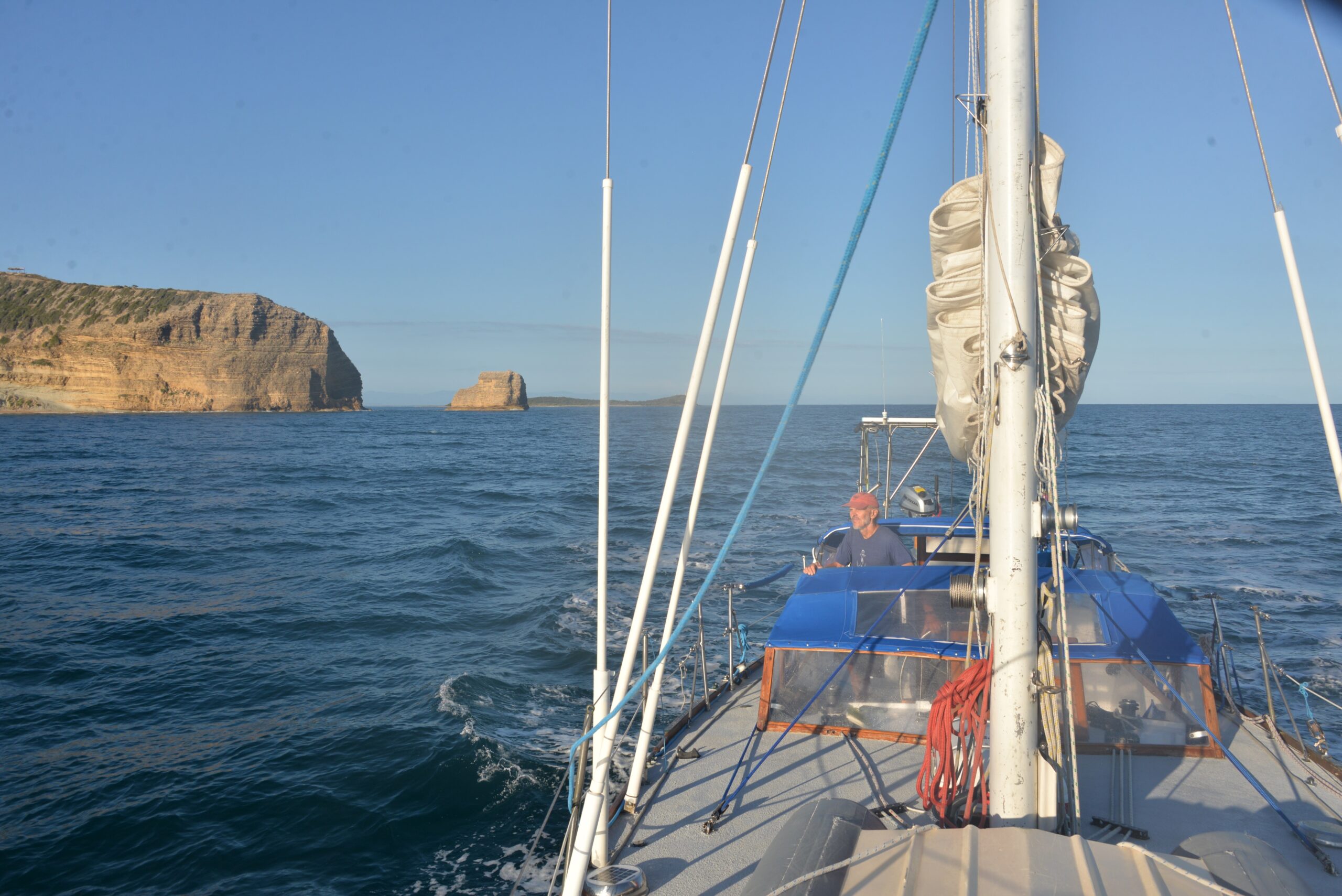

Samaná (Santa Barbara de Samana) is a town on the Samana Peninsula. It’s not just any old town—this place overlooks Samaná Bay, the hotspot for thousands of humpback whales during winter’s mating season. Imagine being in a town where the whales are the talk of the season! And guess what? They’ve even got a Whale Museum with a show-stopping feature—a colossal whale skeleton that puts all other museum exhibits to shame.
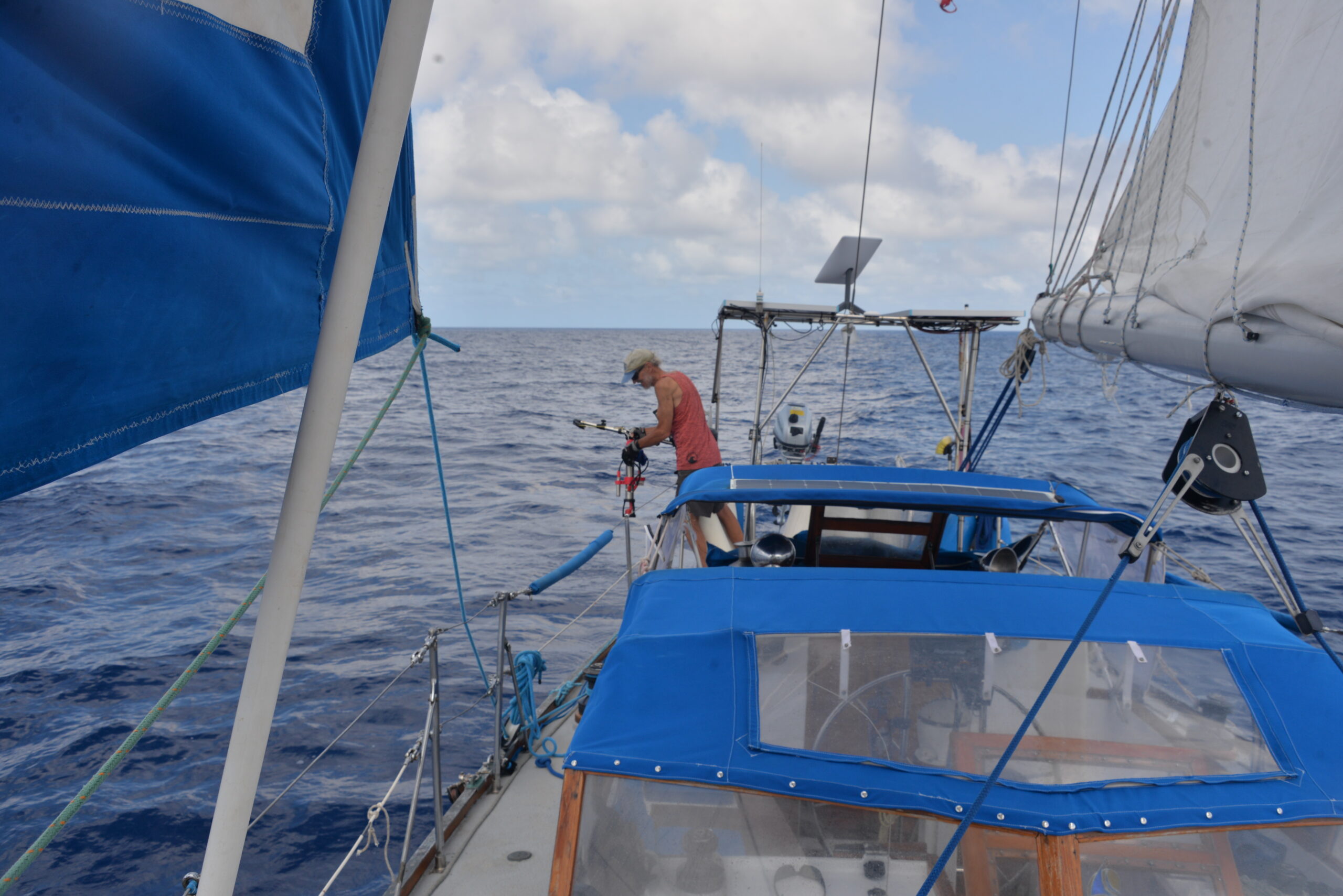
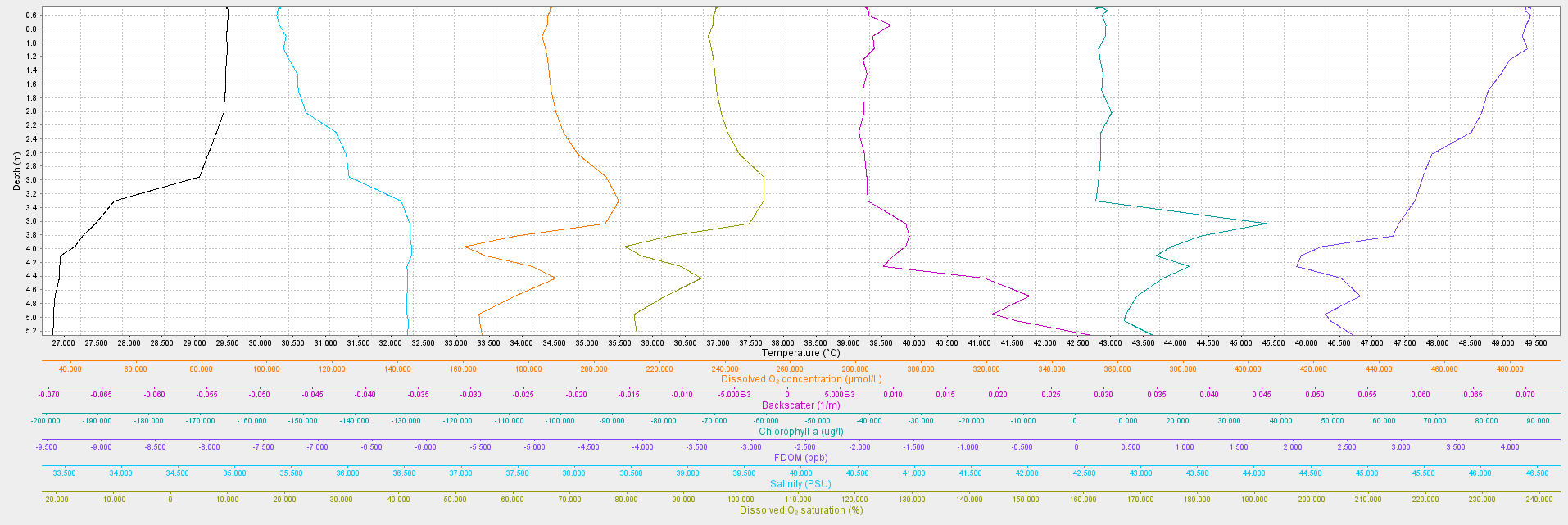
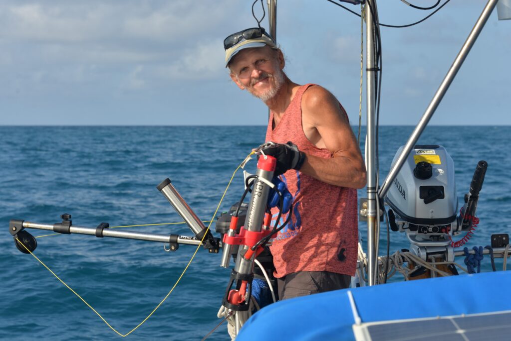
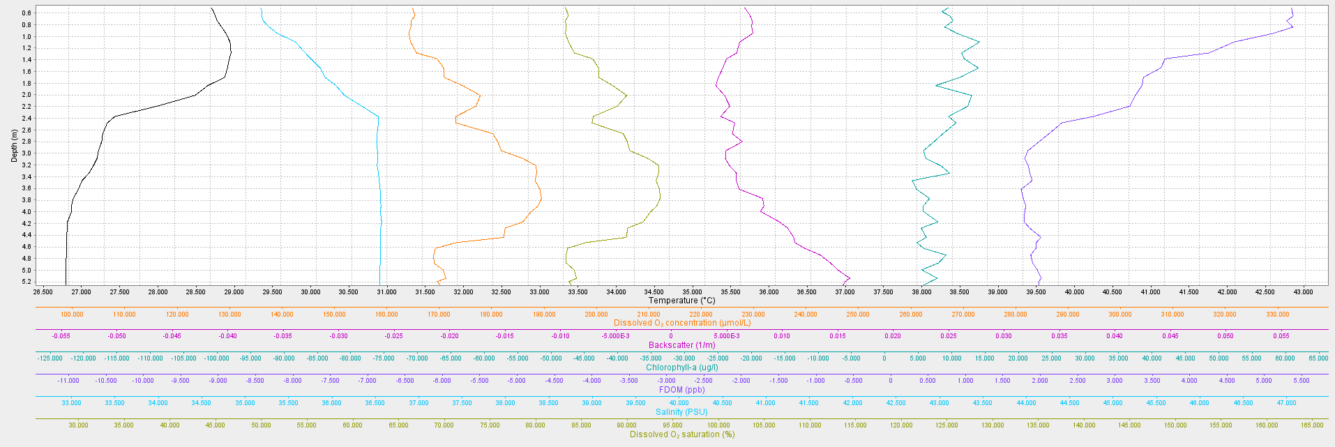
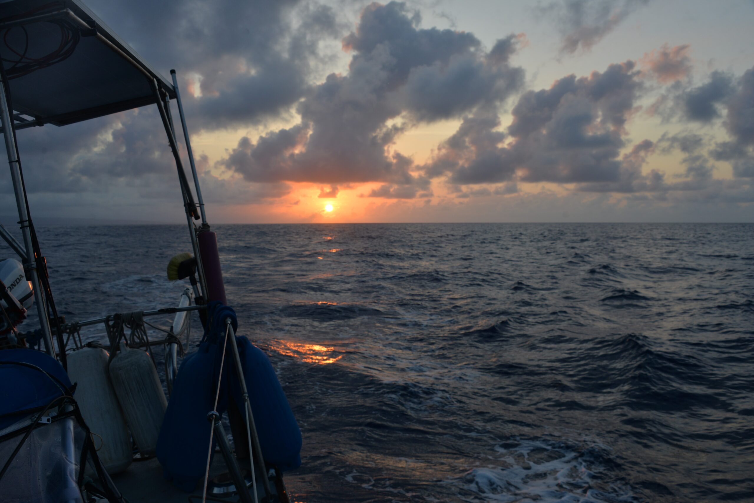
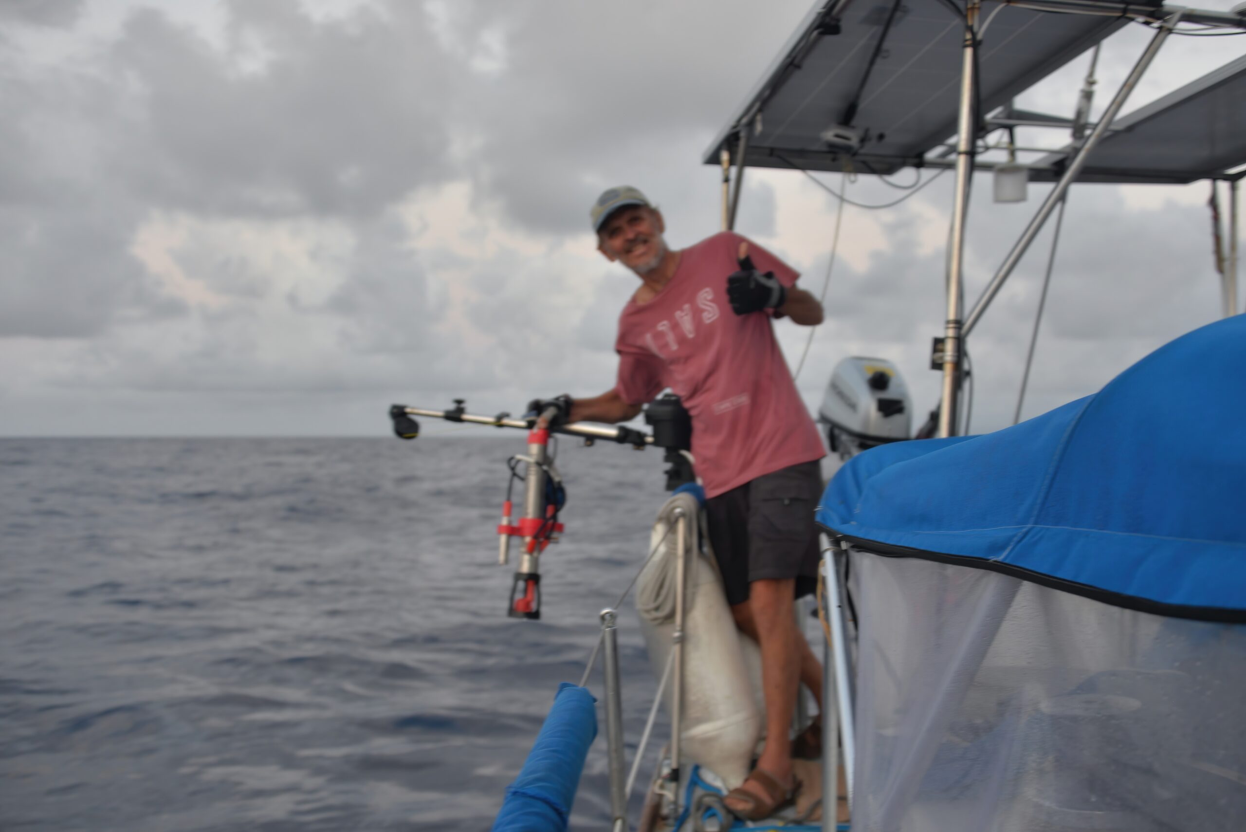
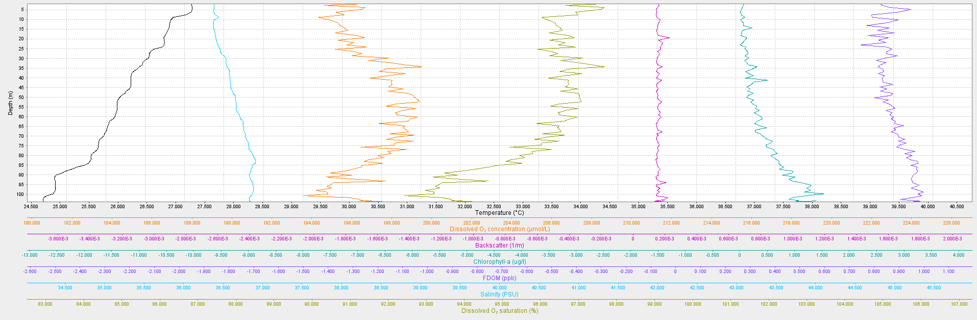
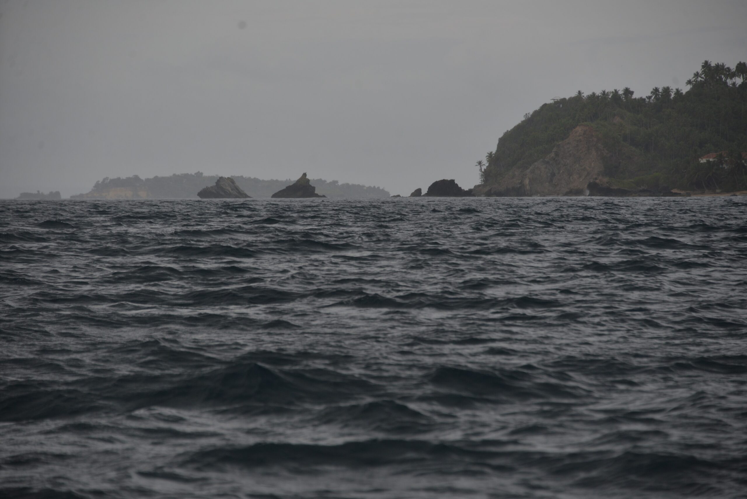
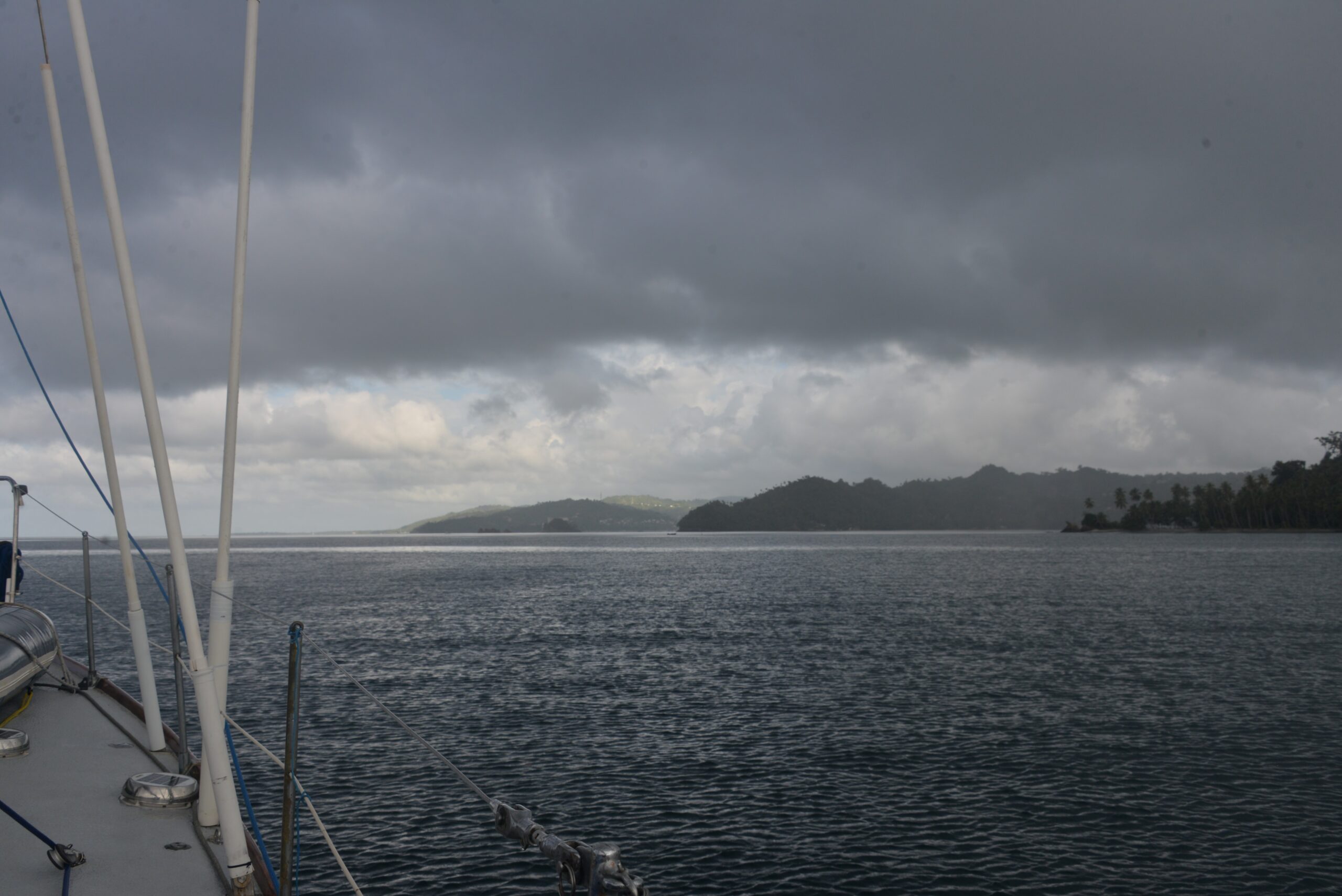
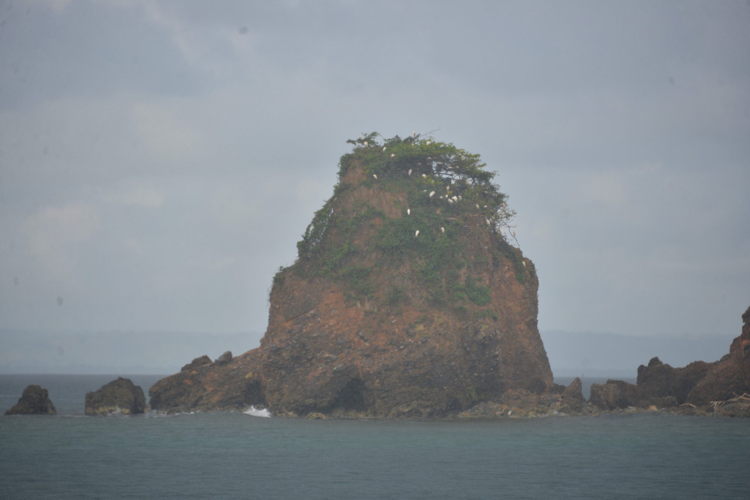
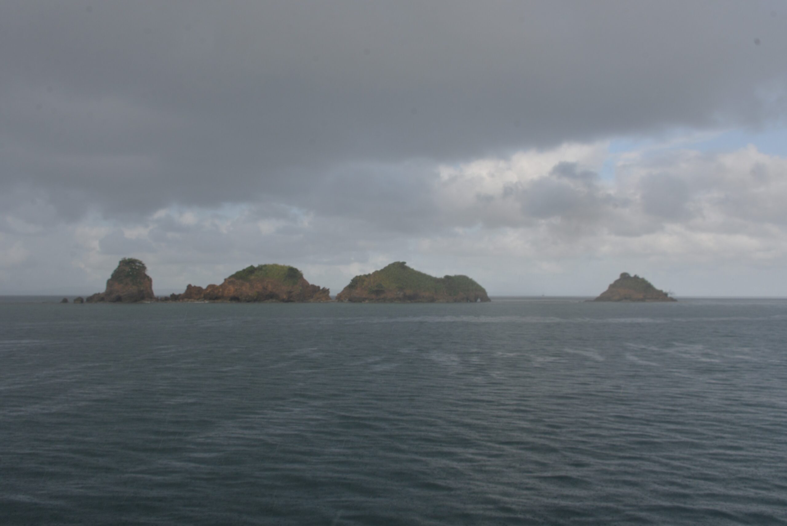
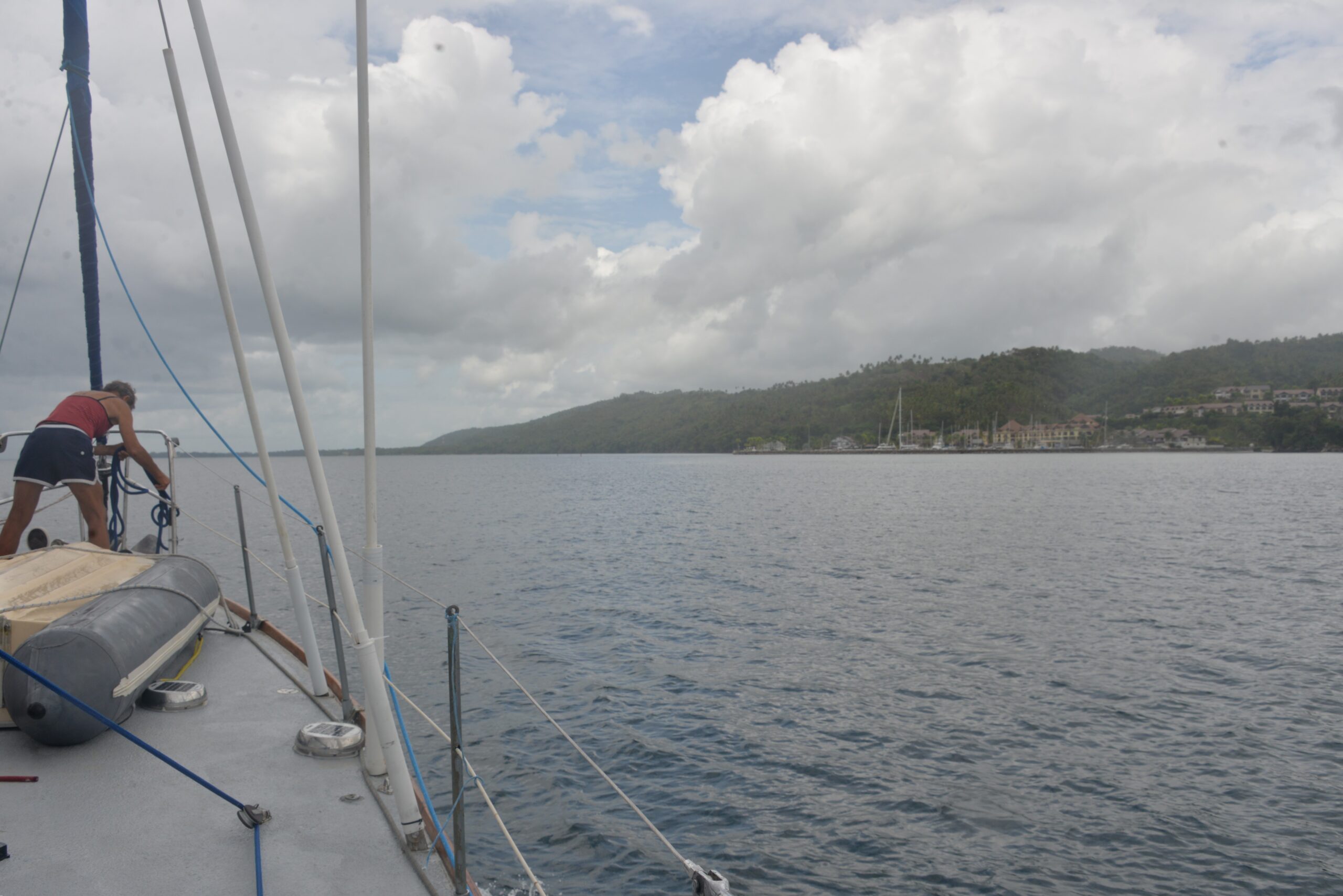
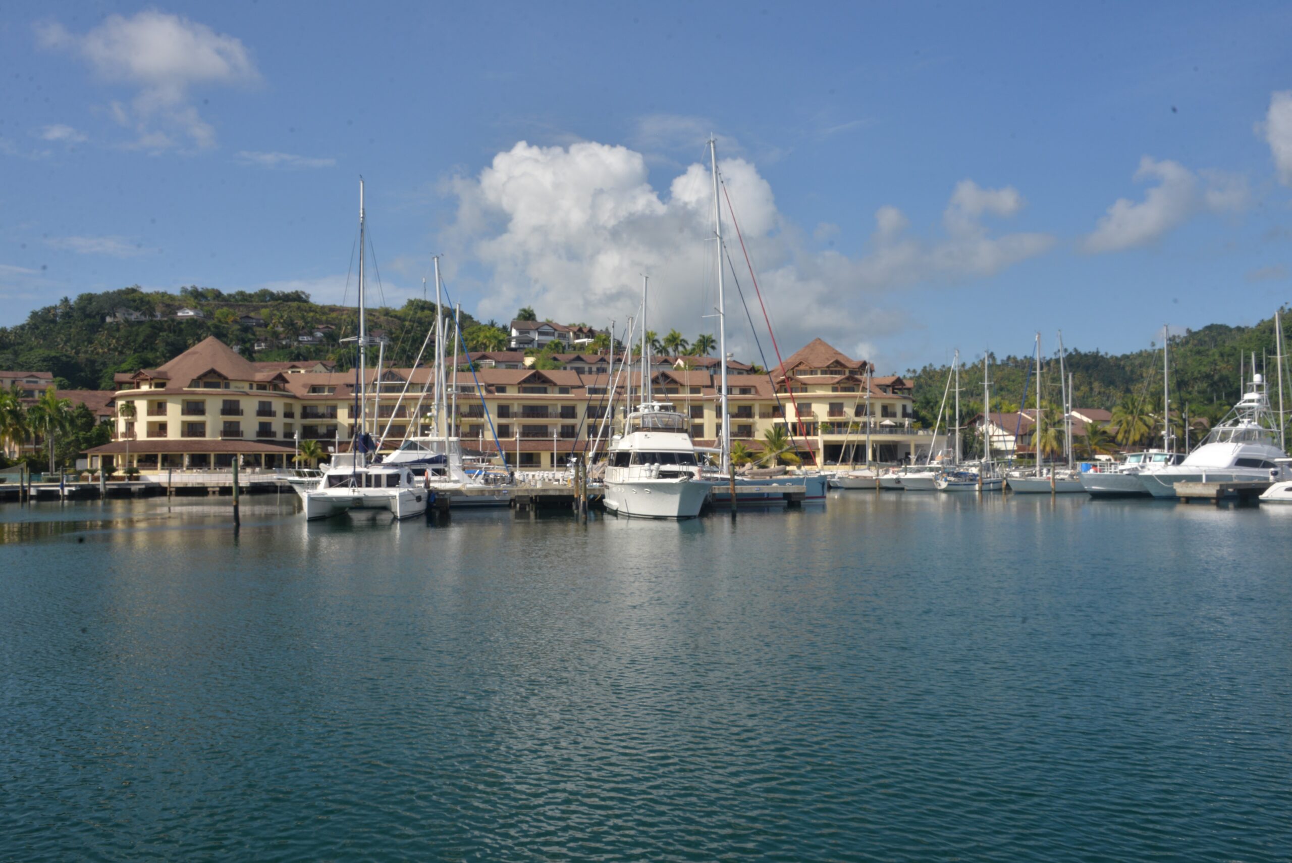
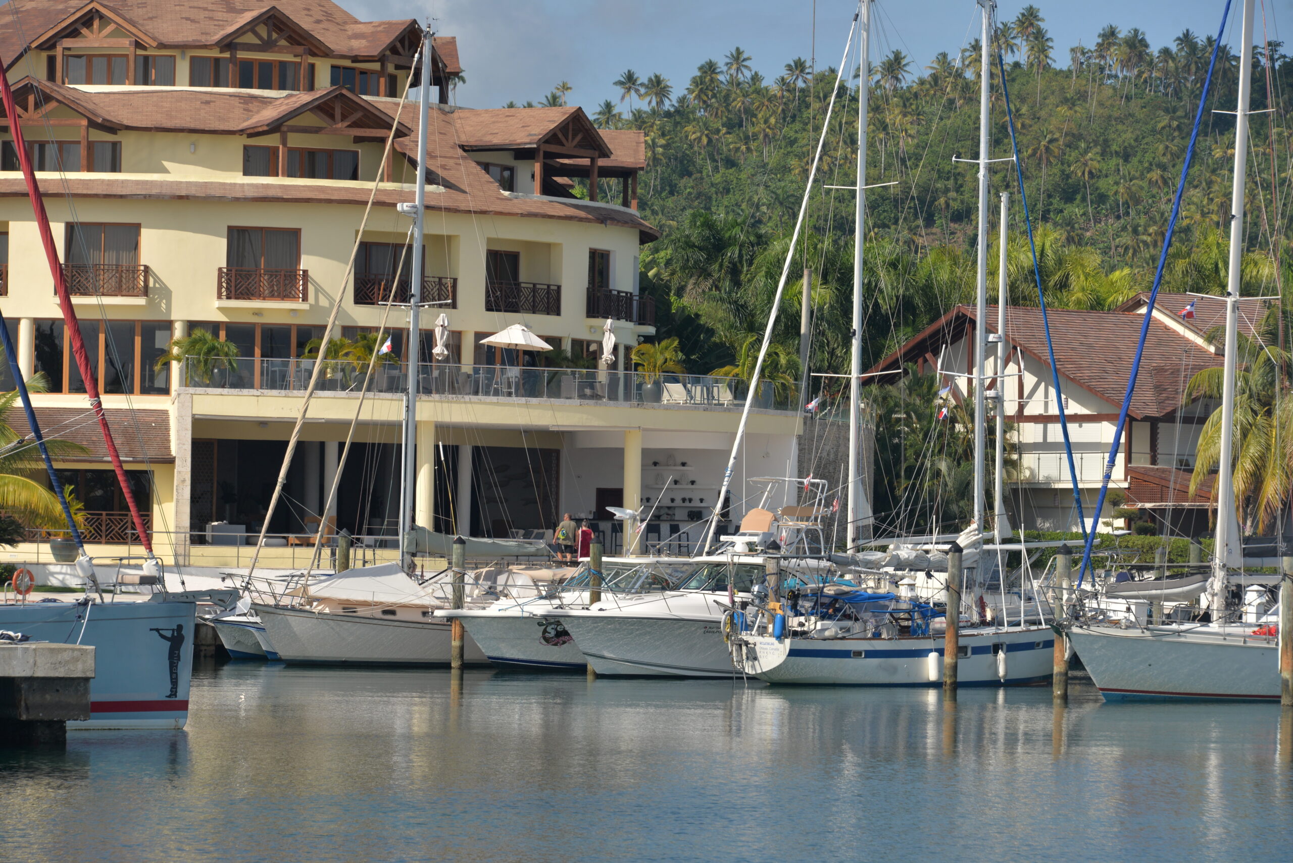
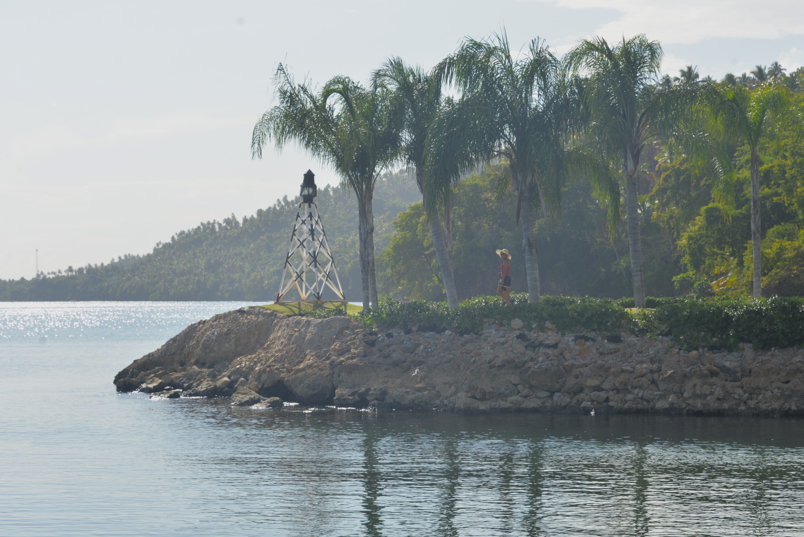
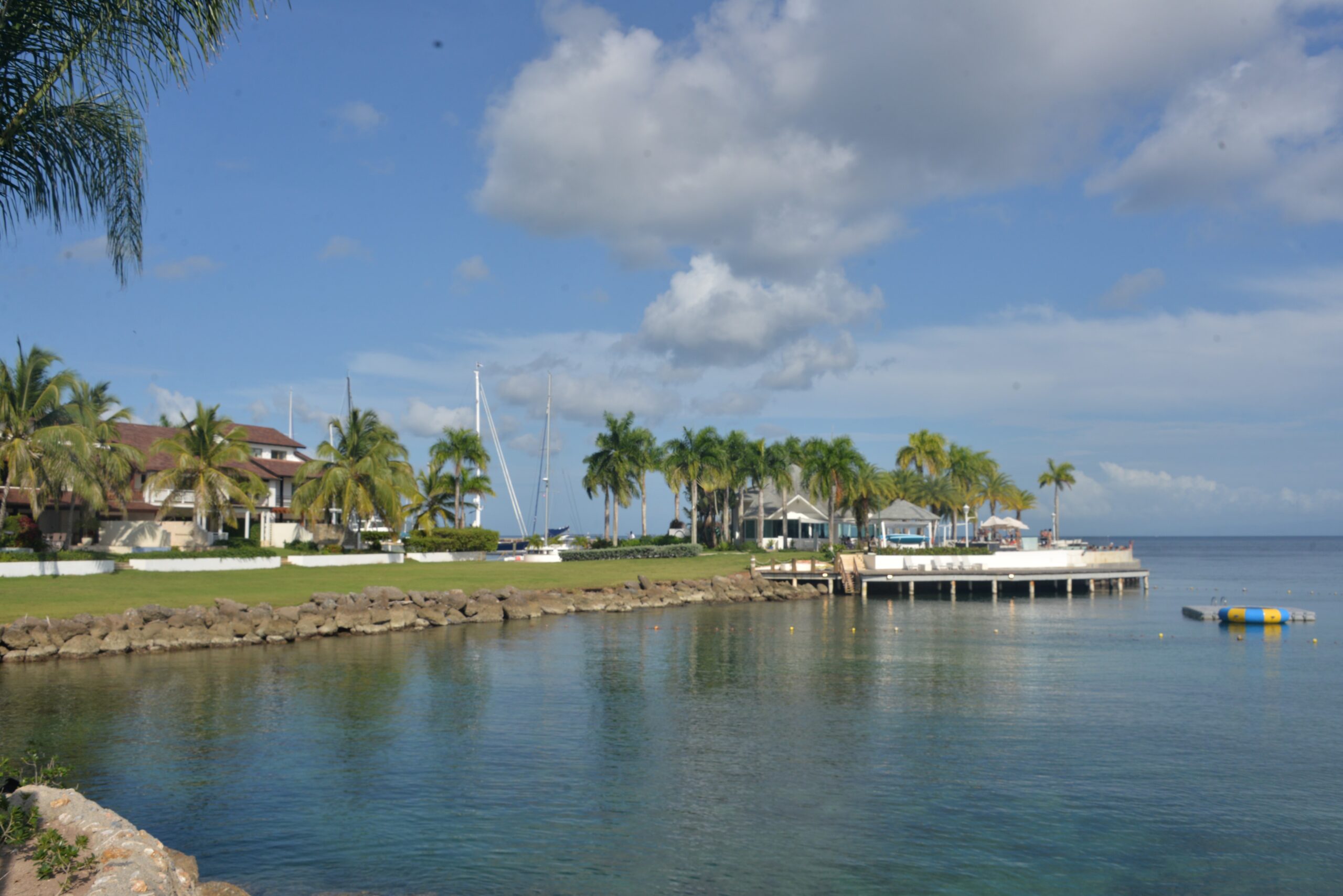
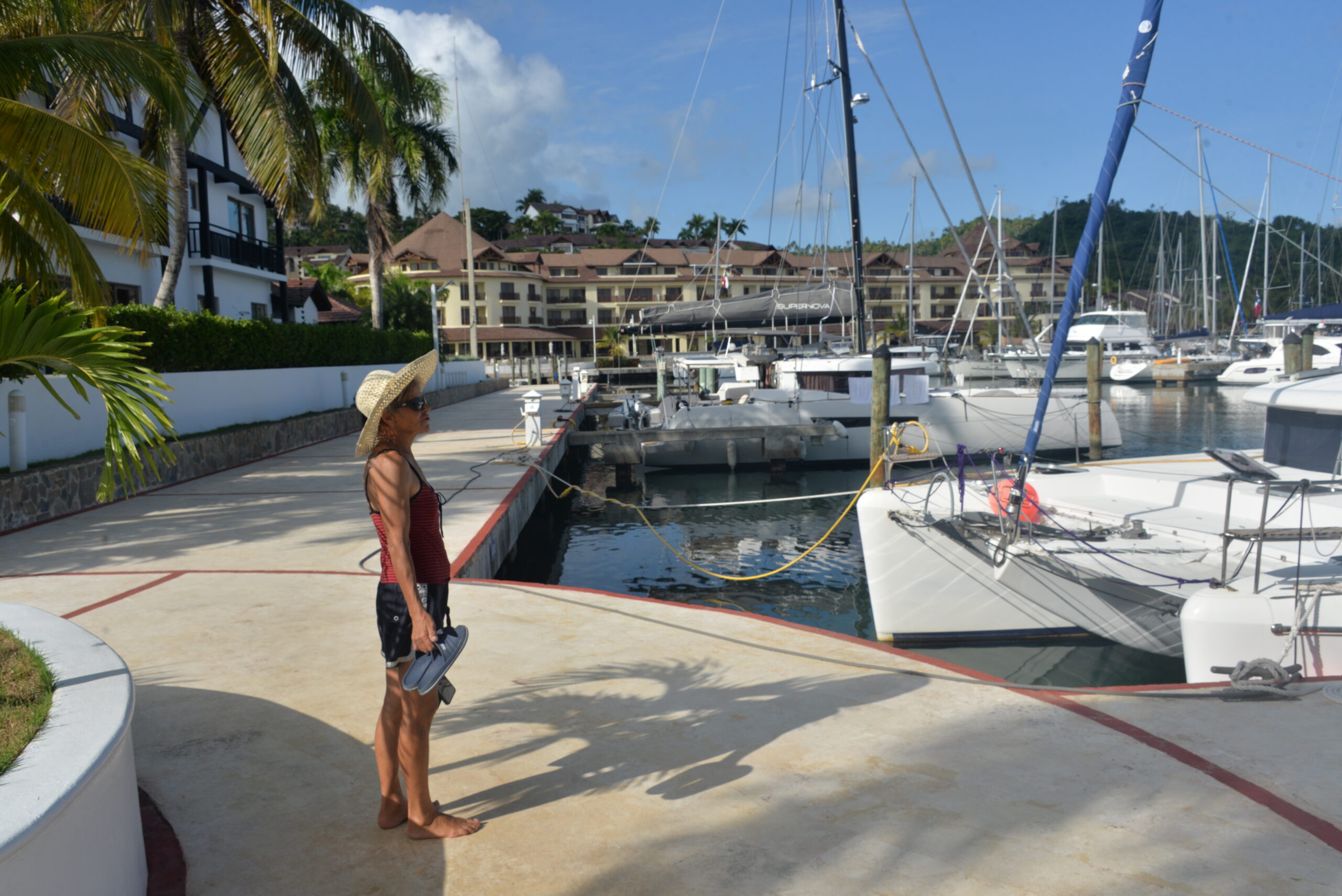
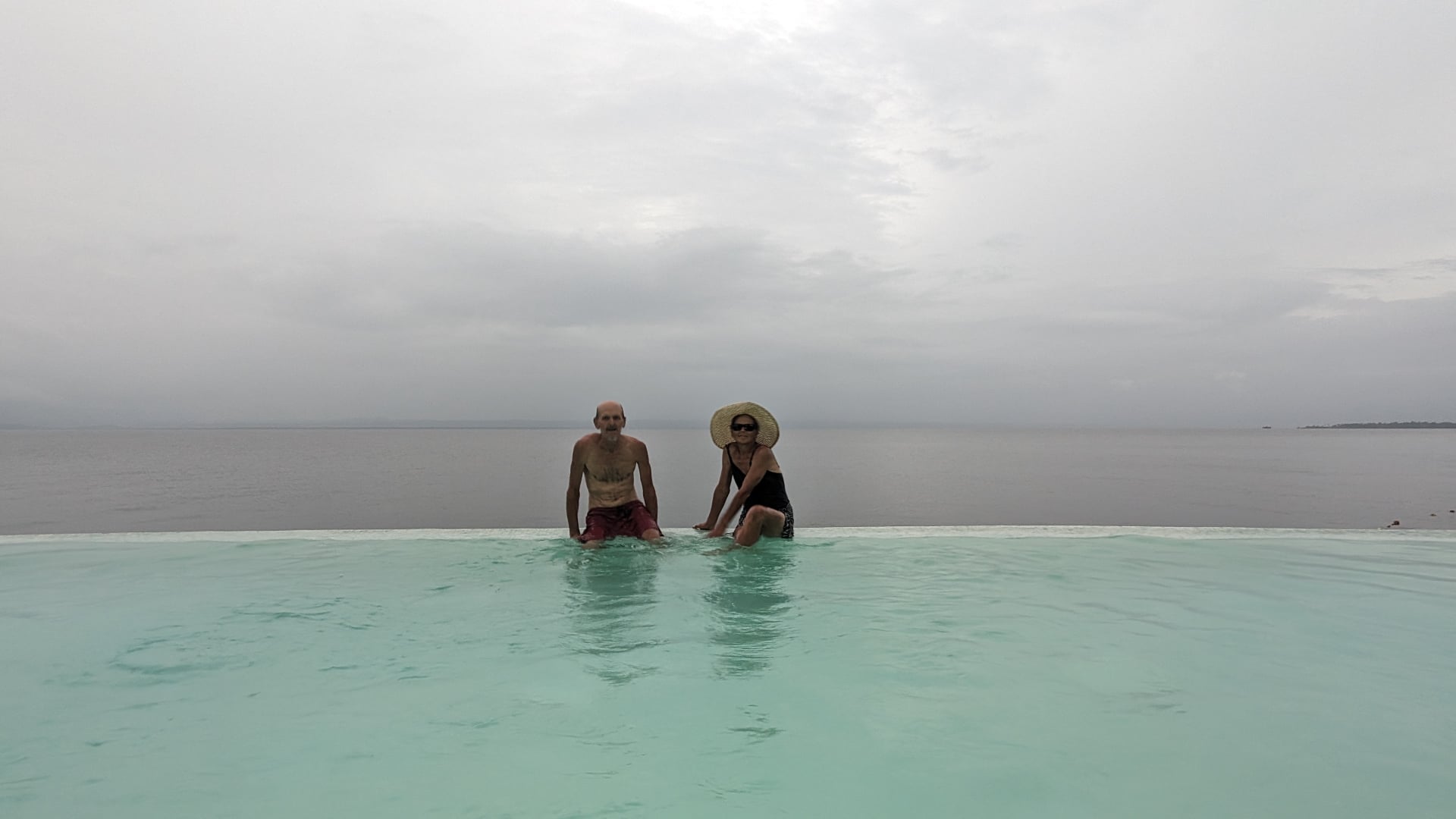
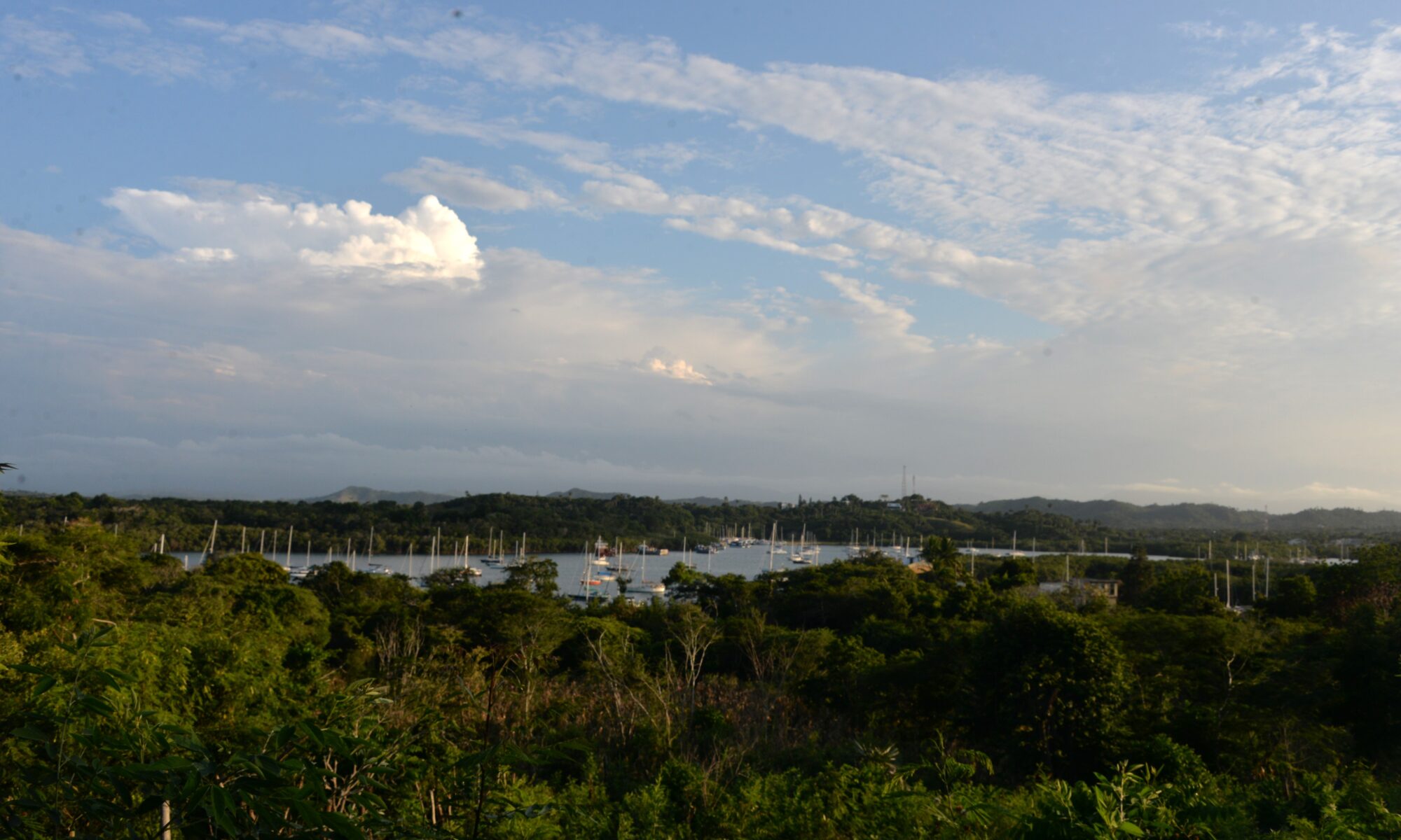
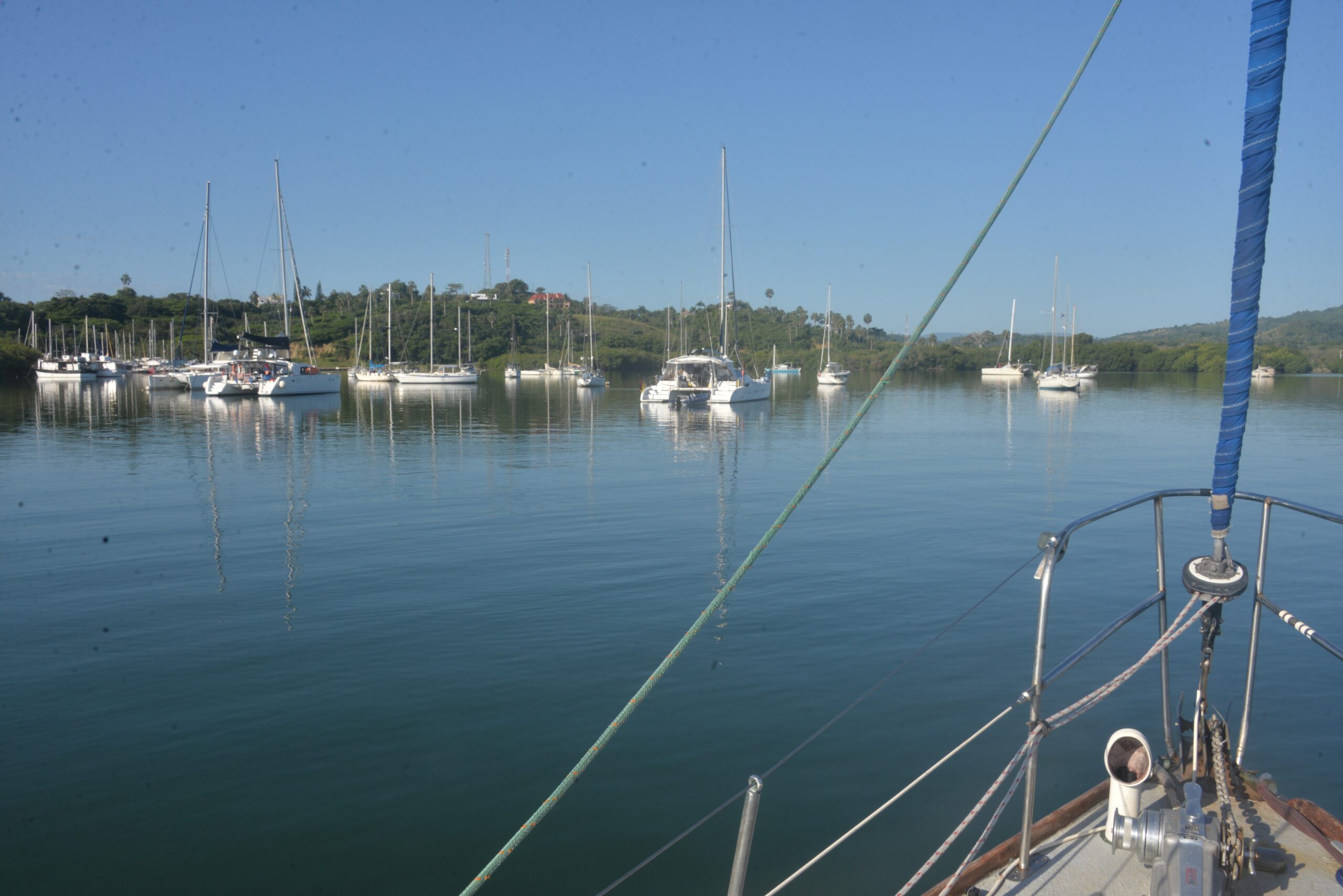
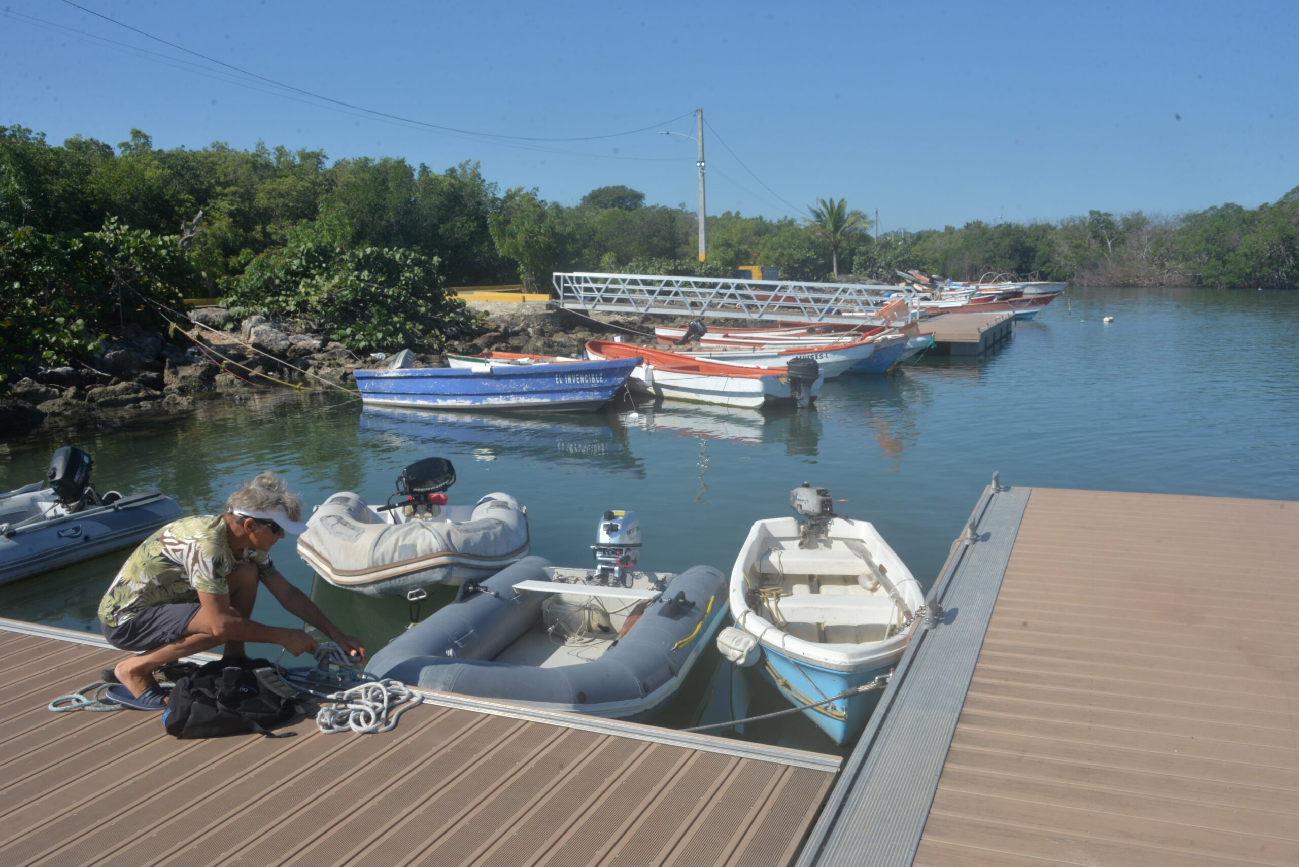
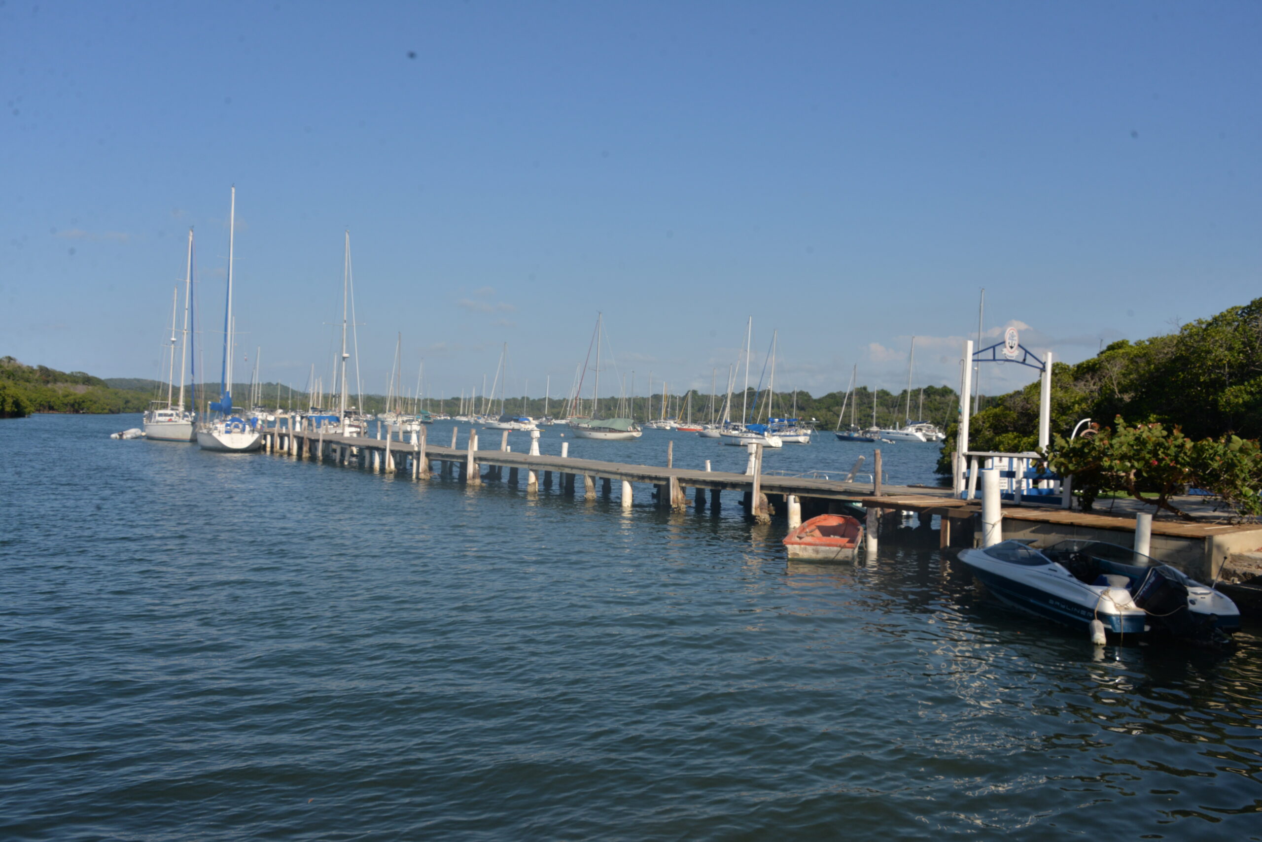
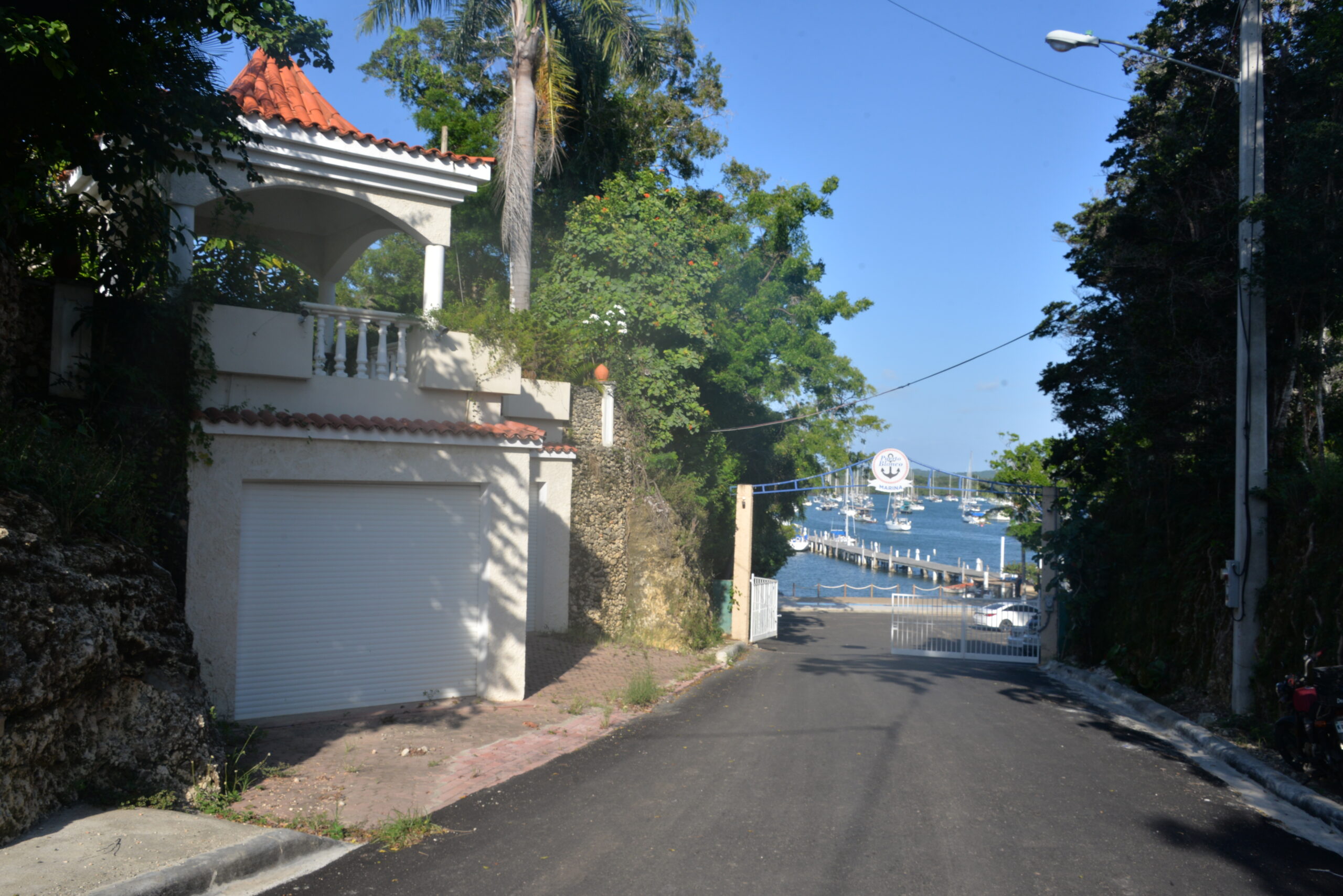
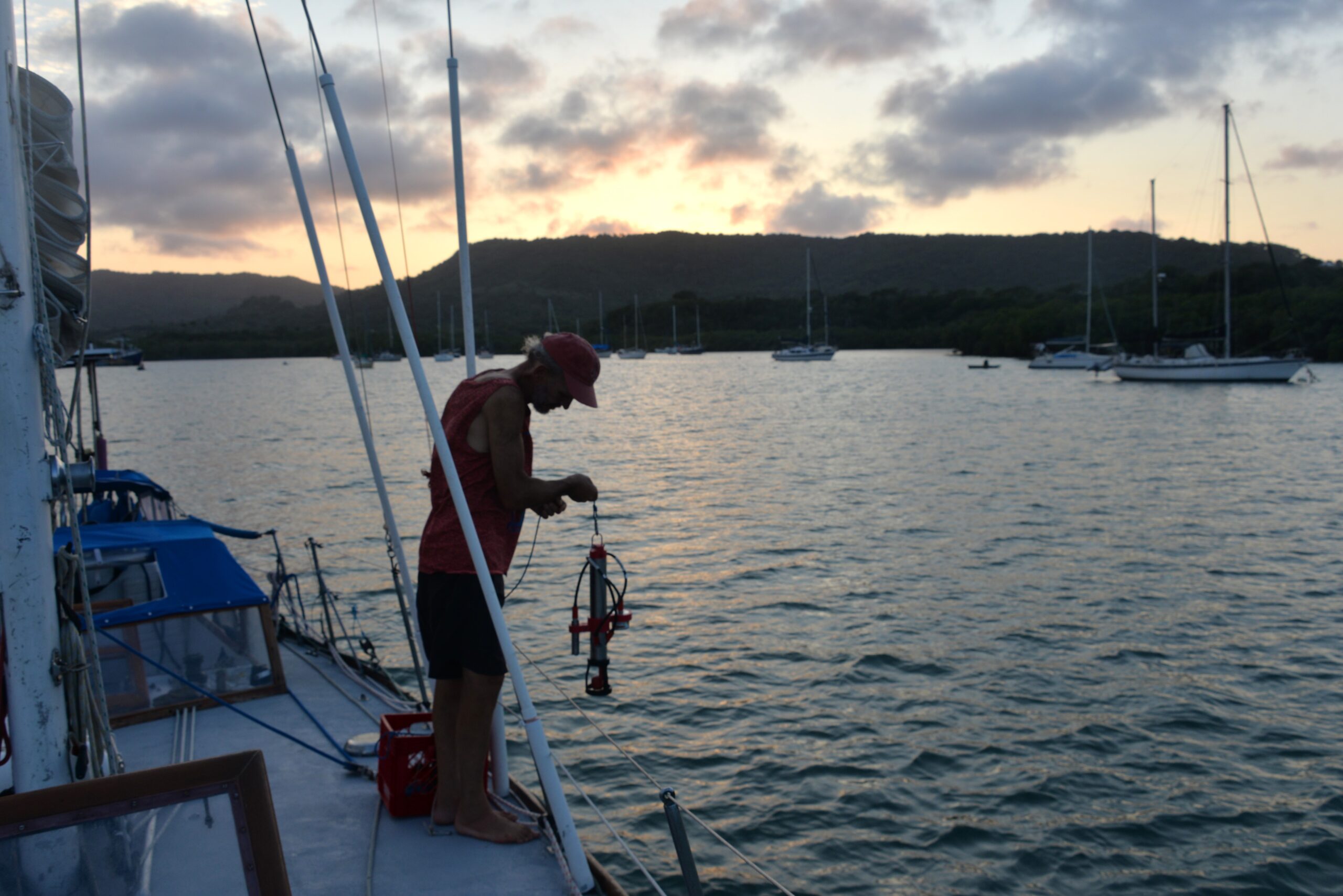
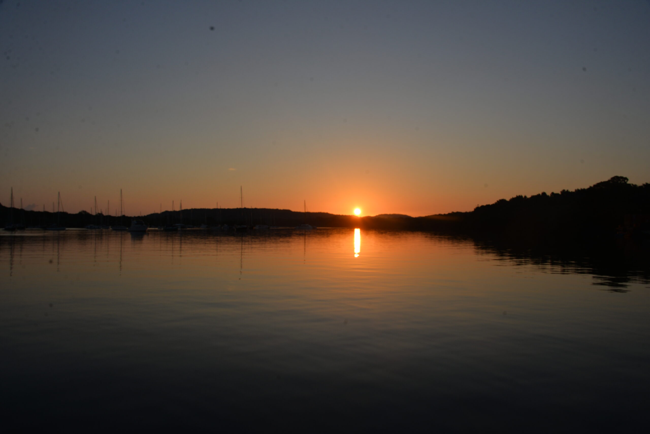
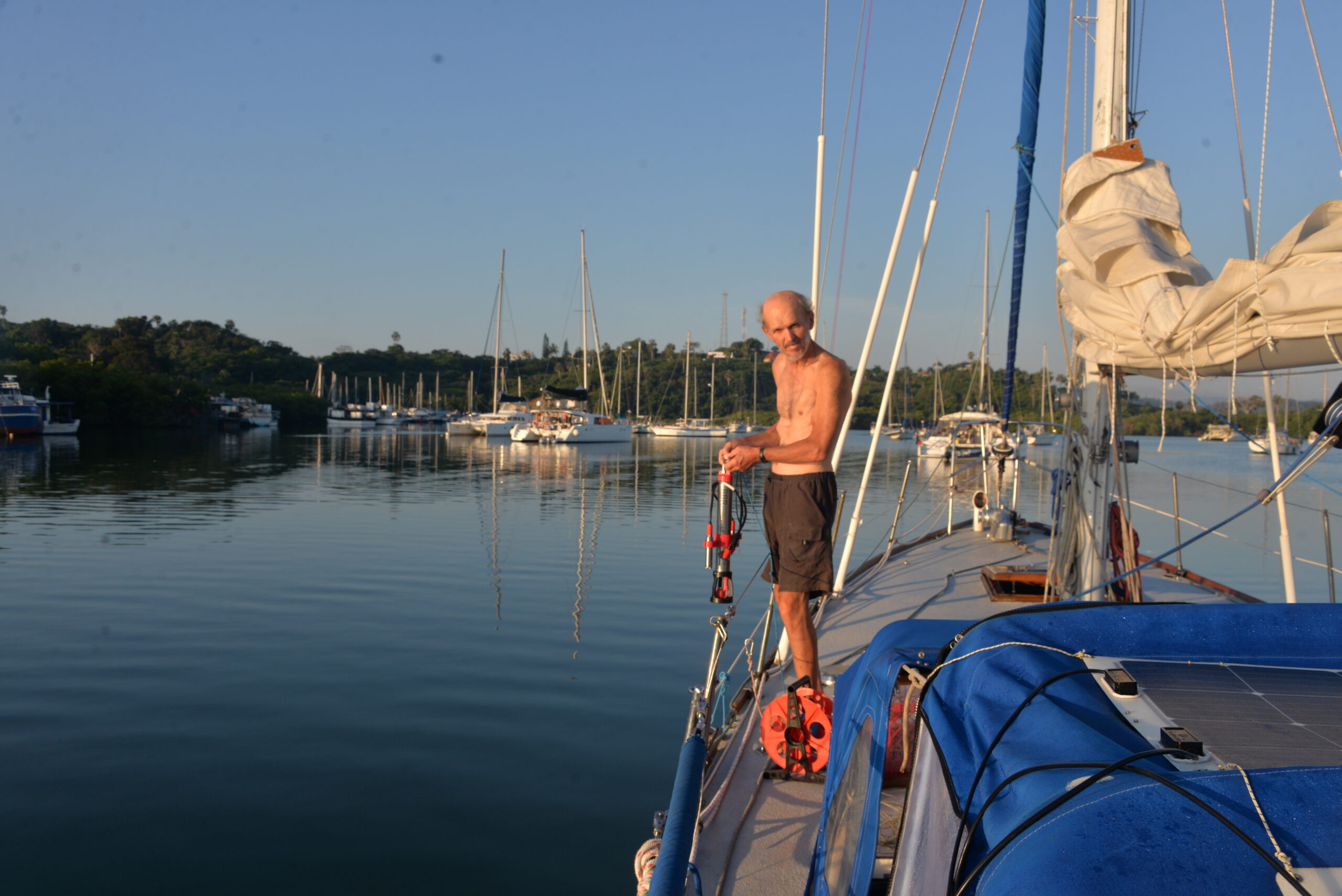
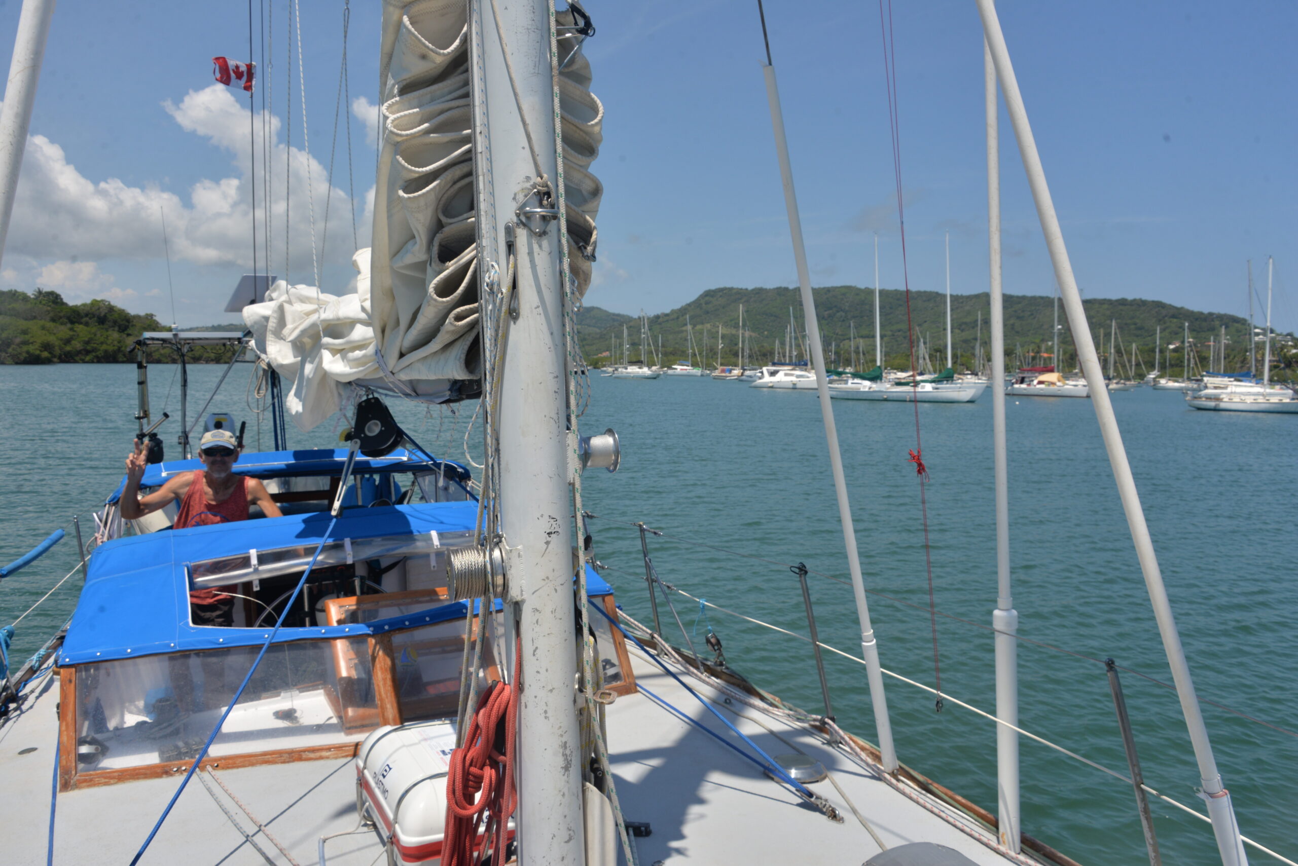
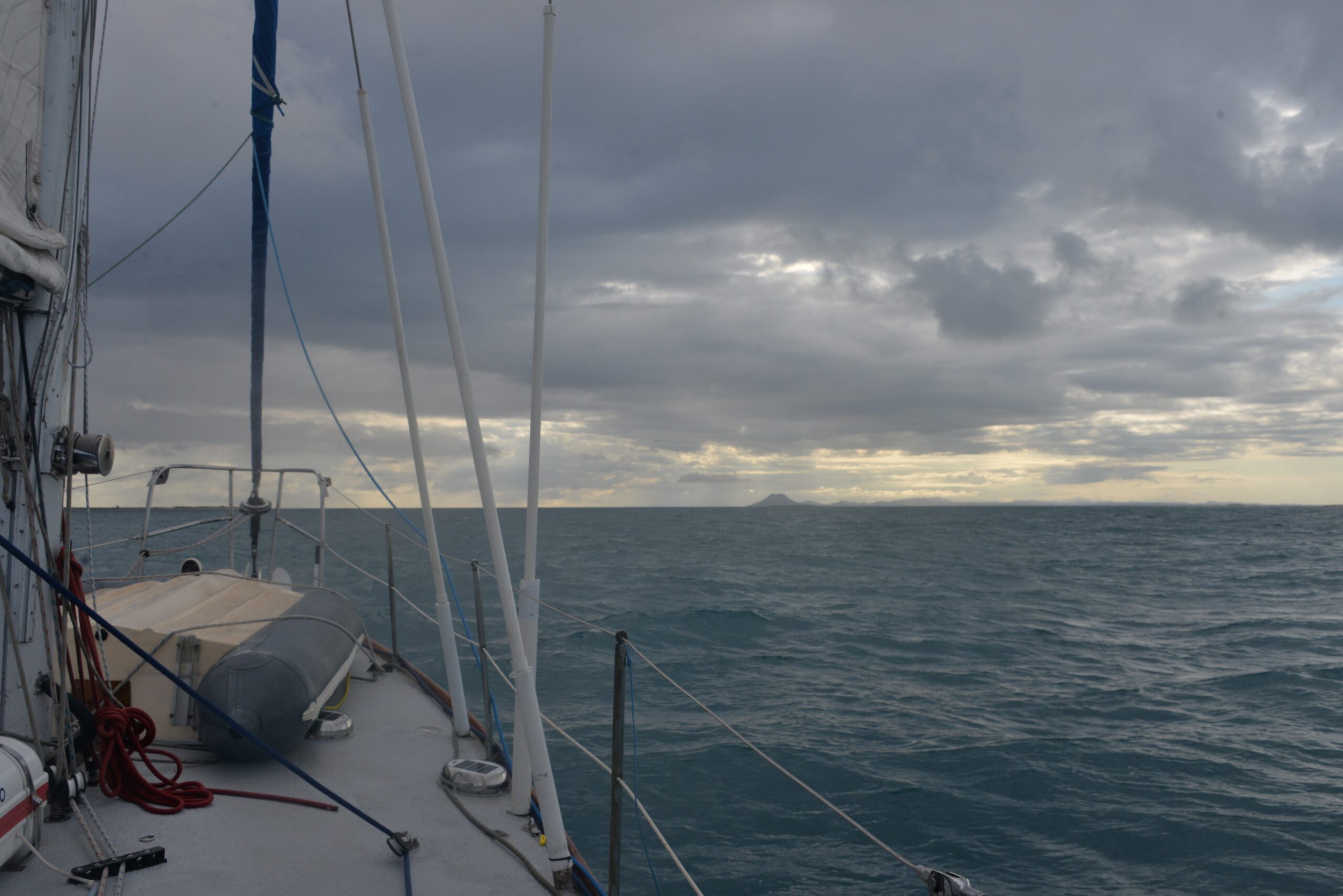
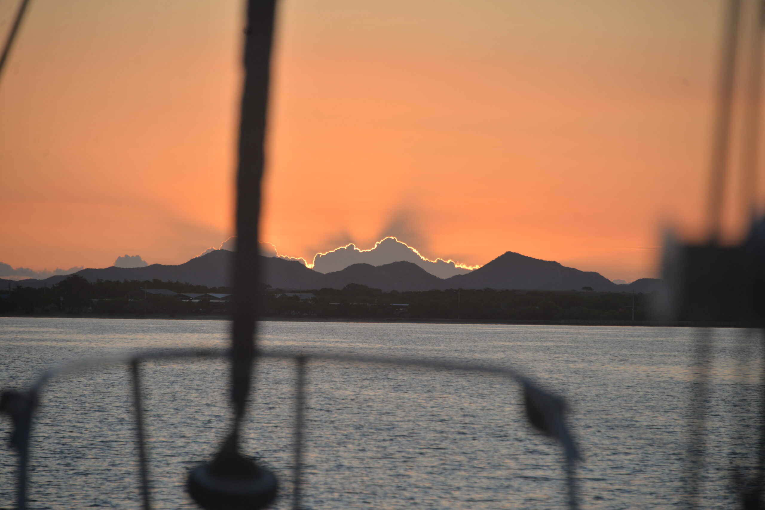
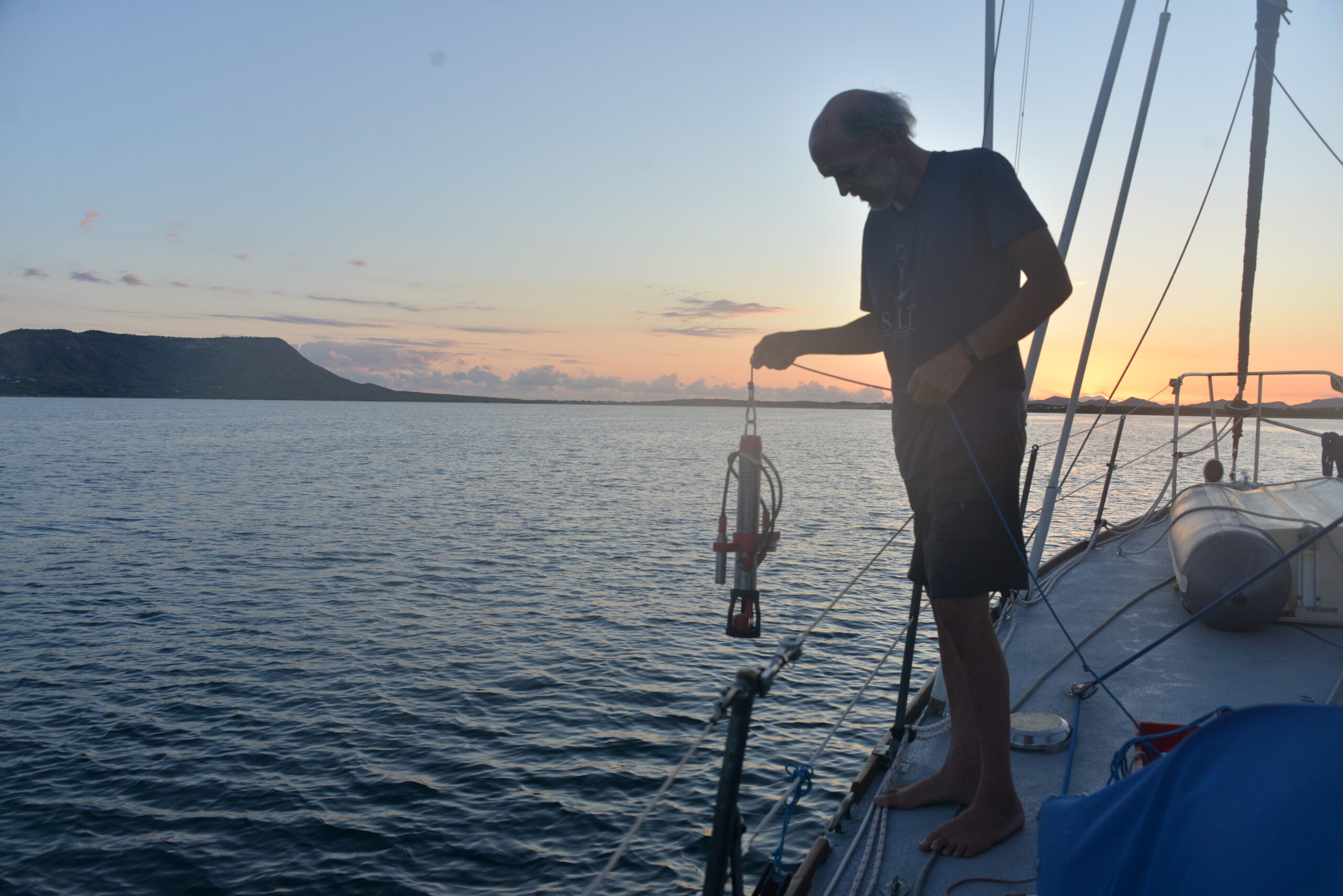
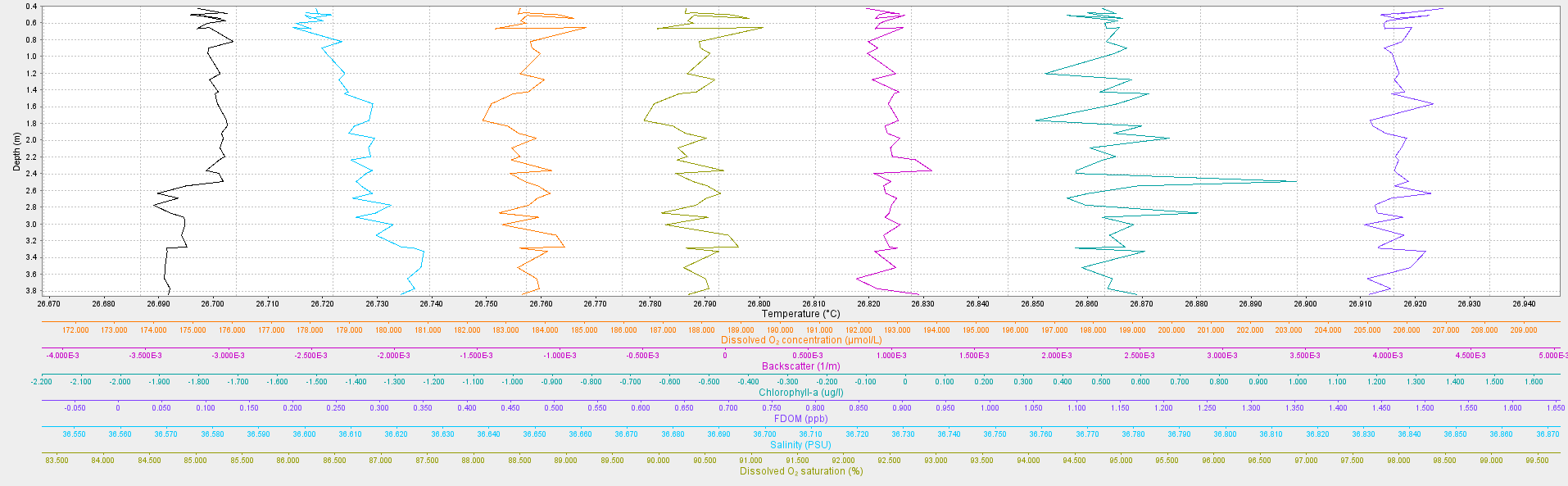
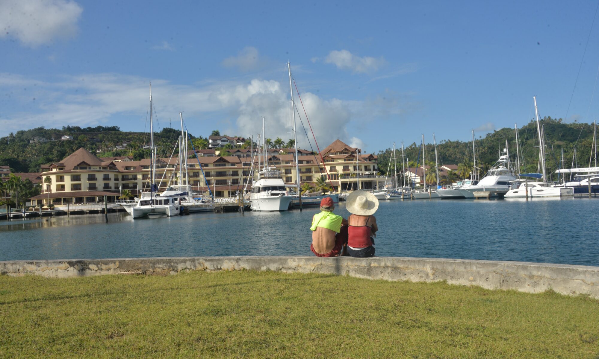
Our journey here was a long overnight ride, quite literally. Picture sailing 90 miles along the challenging northern coast of the Dominican Republic, called The Thorny Path, plus we managed to do 3 CTD casts down to more than 100m. But fear not, for our perseverance paid off as we entered in the early morning Bahia de Samana, a tranquil haven shielded from the relentless easterly trade winds. After dropping anchor in the morning in Samana Bay, we received permission to dock at the nearby Puerto Bahia Marina, nestled within a high-level resort. Ah, the perks of yacht life! Sometimes, amidst all the nautical chaos, you just need to kick back, relax, and indulge in a couple of days at a resort. After all, even sailors deserve a taste of the high life, right?