


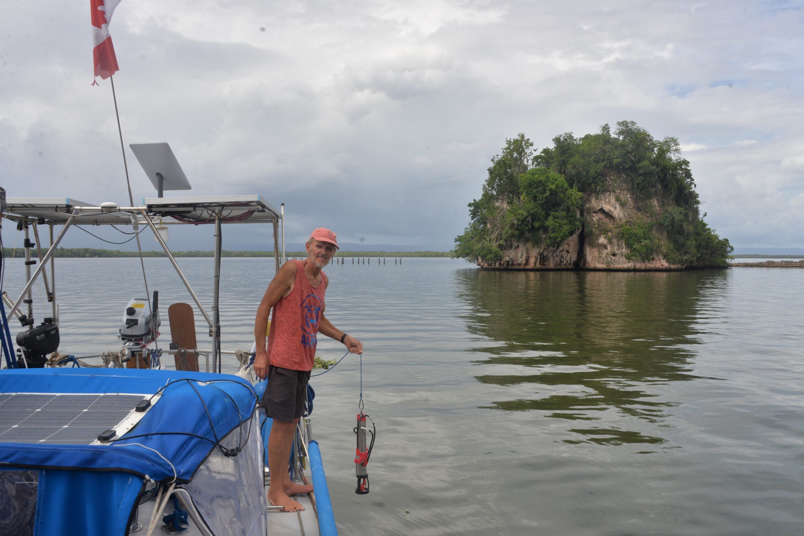
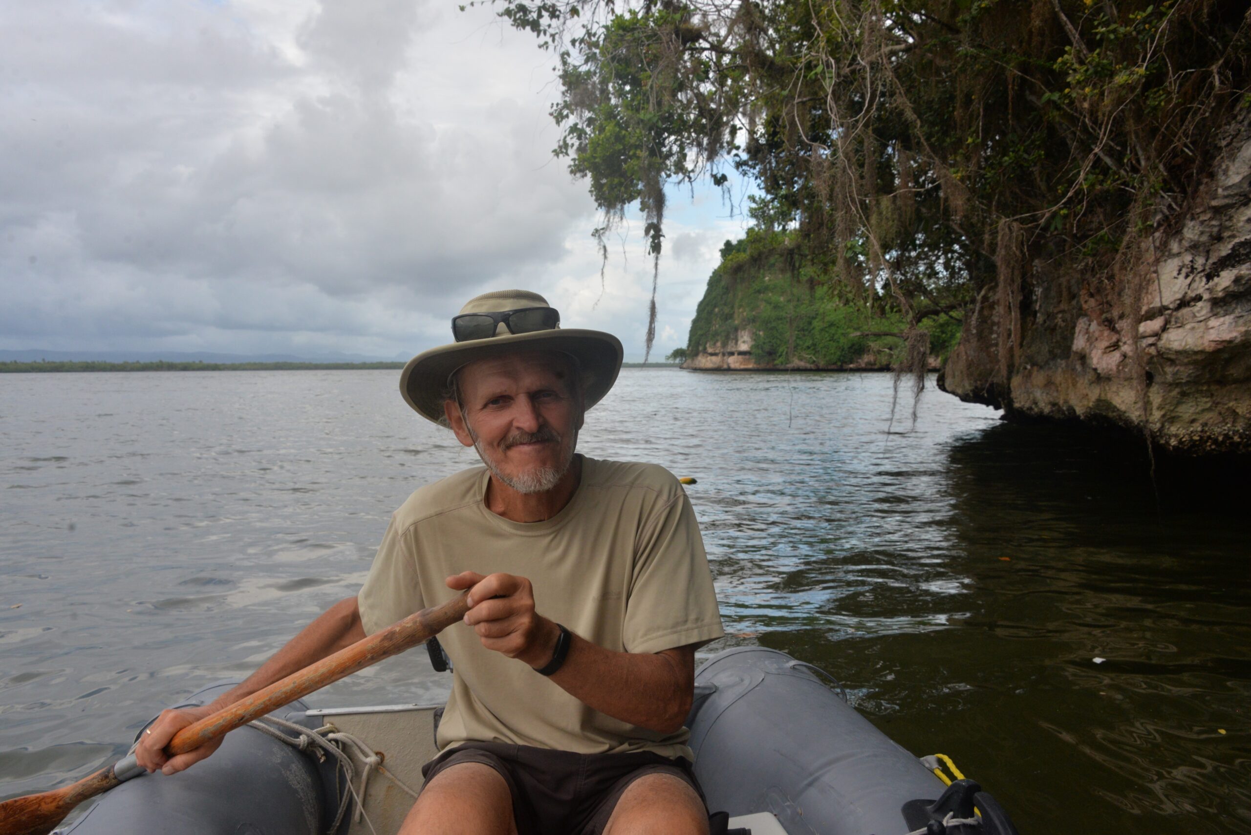
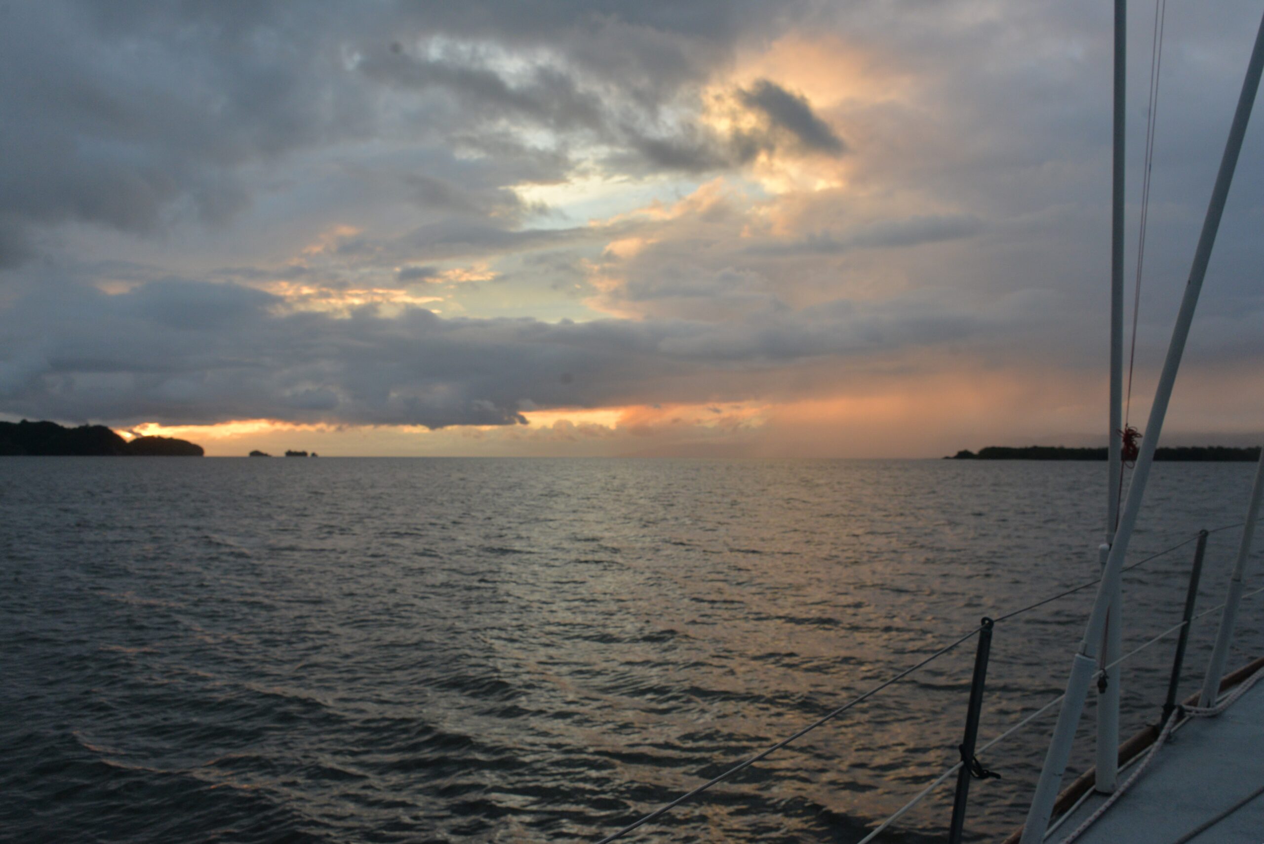
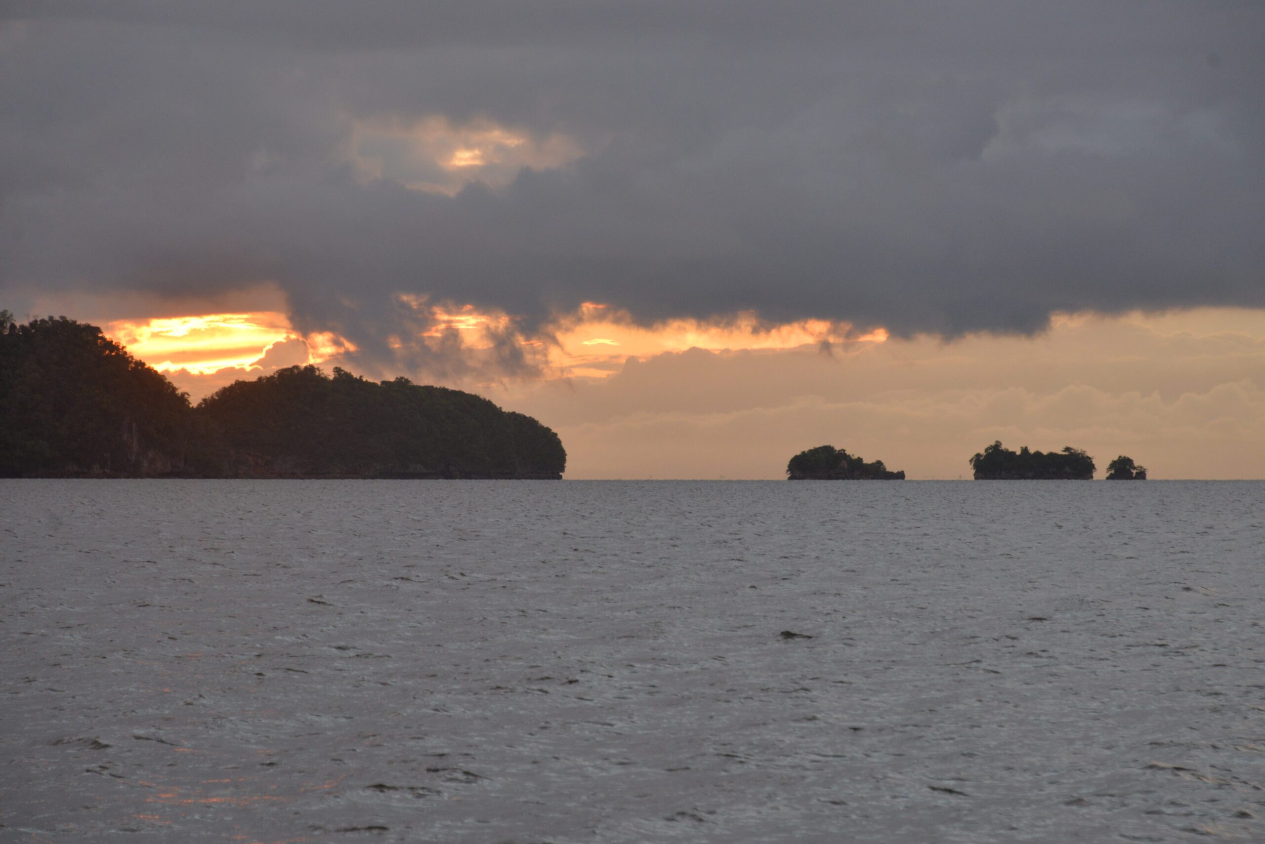
How sailing can help with the ocean data collection
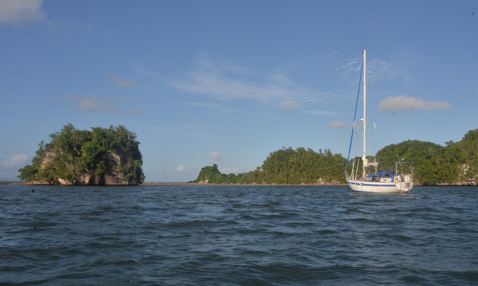
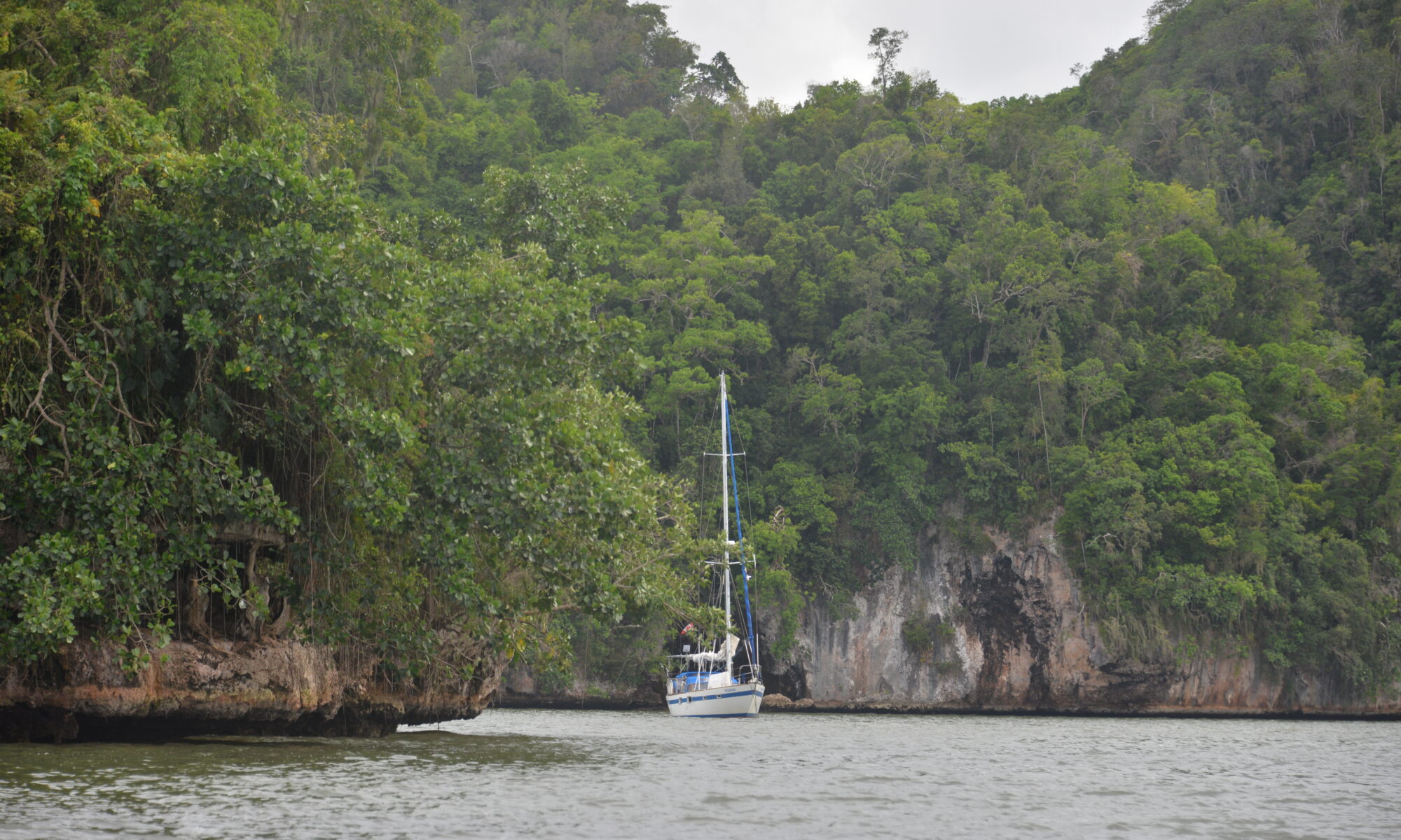
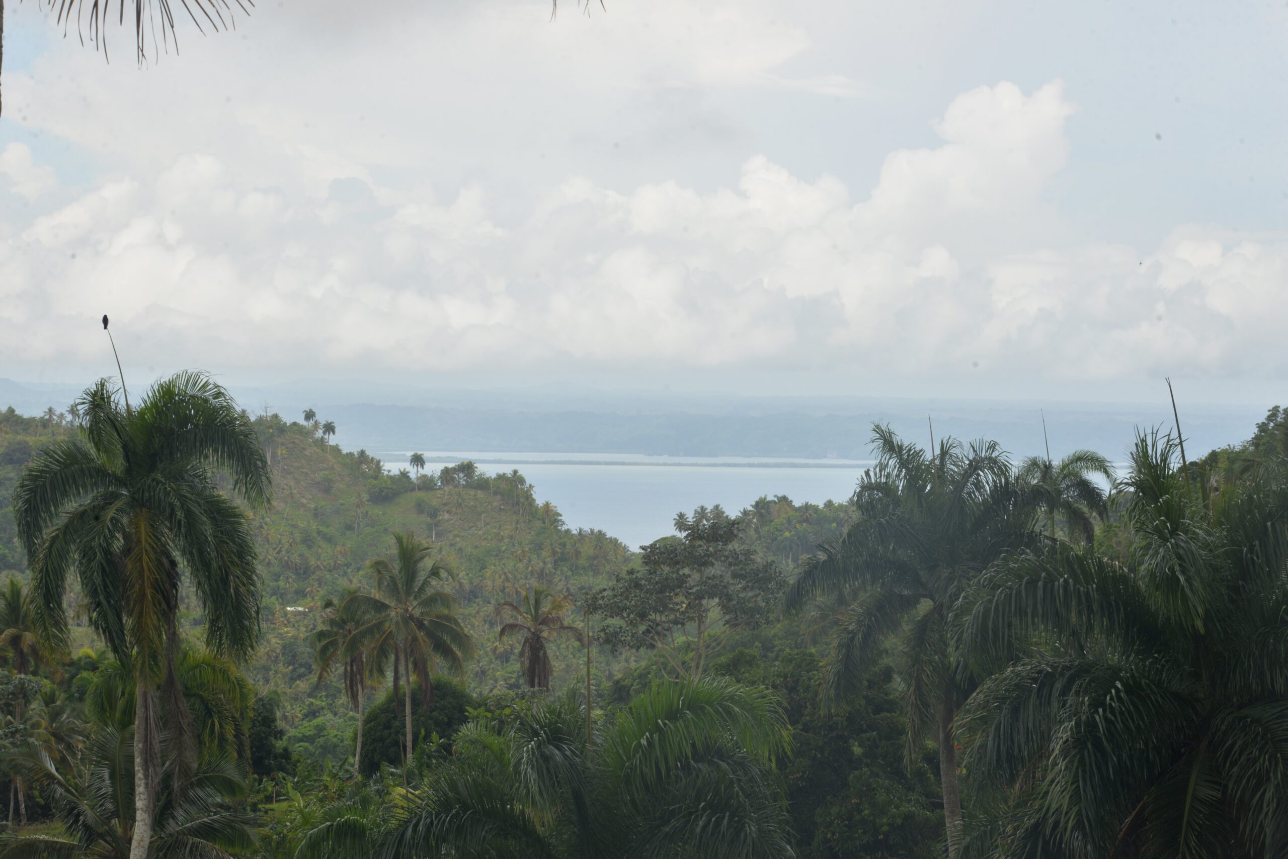
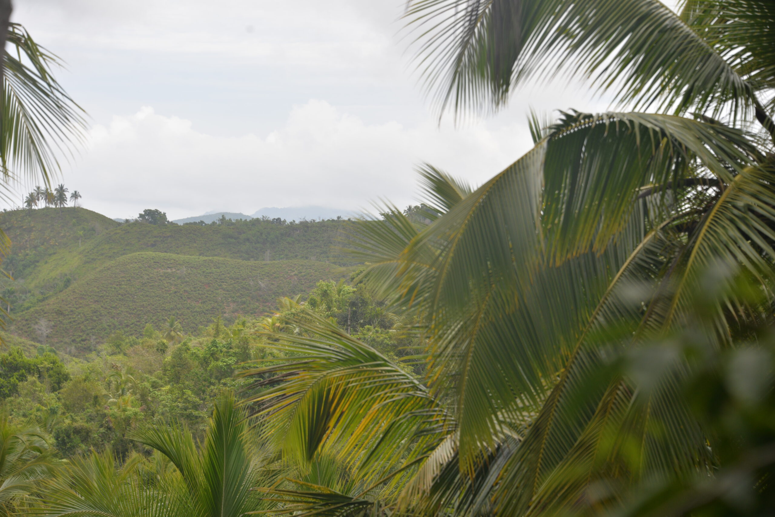
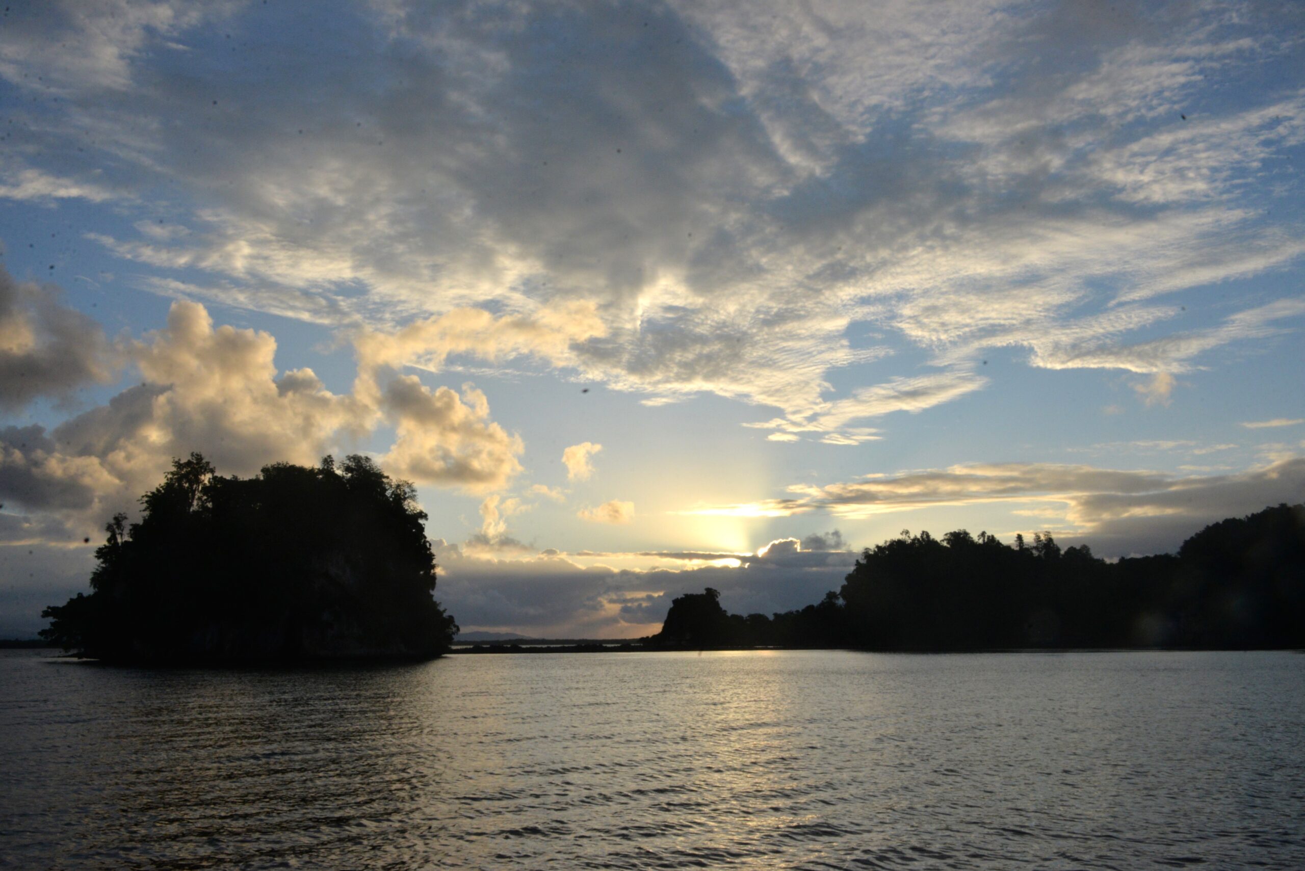
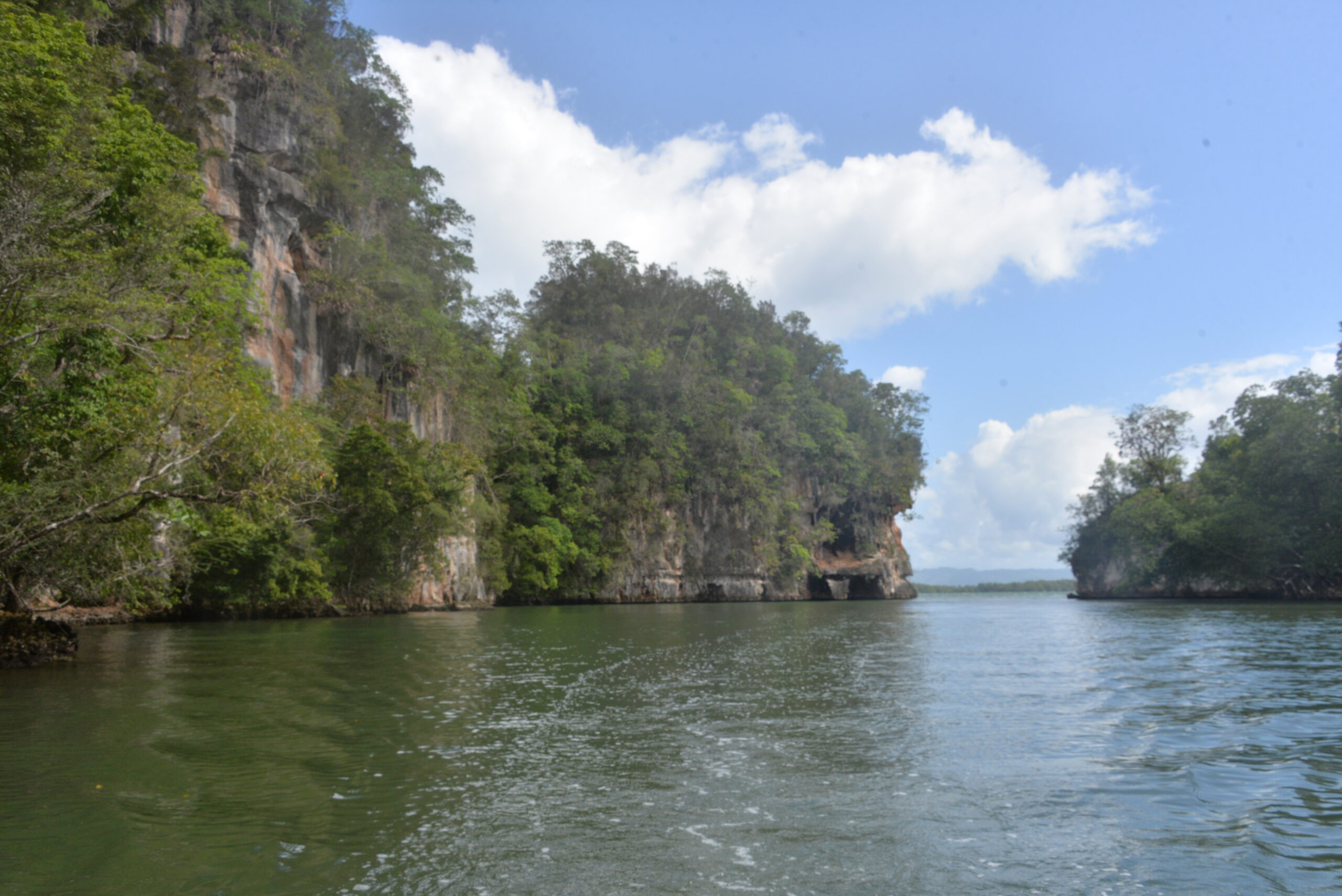
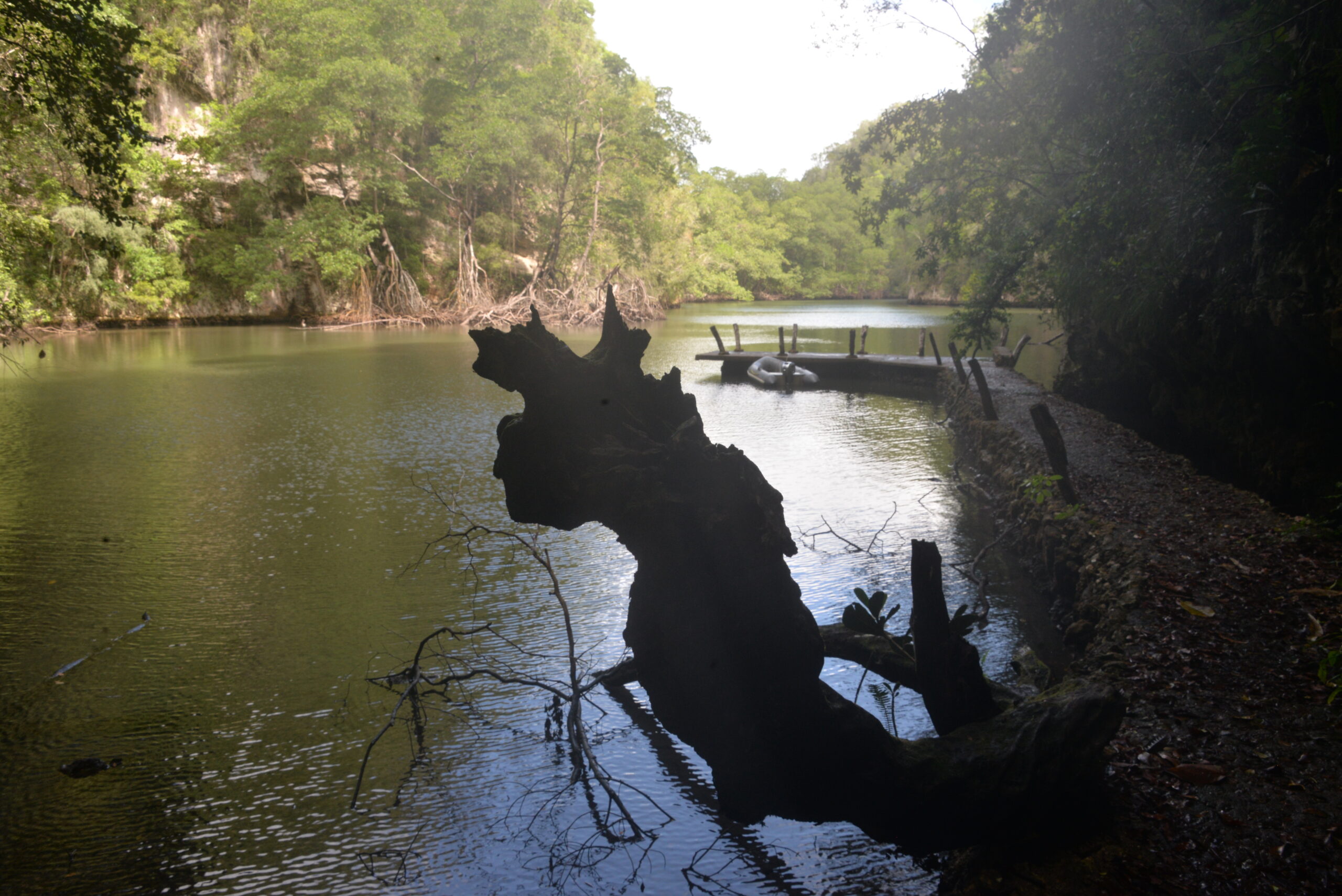
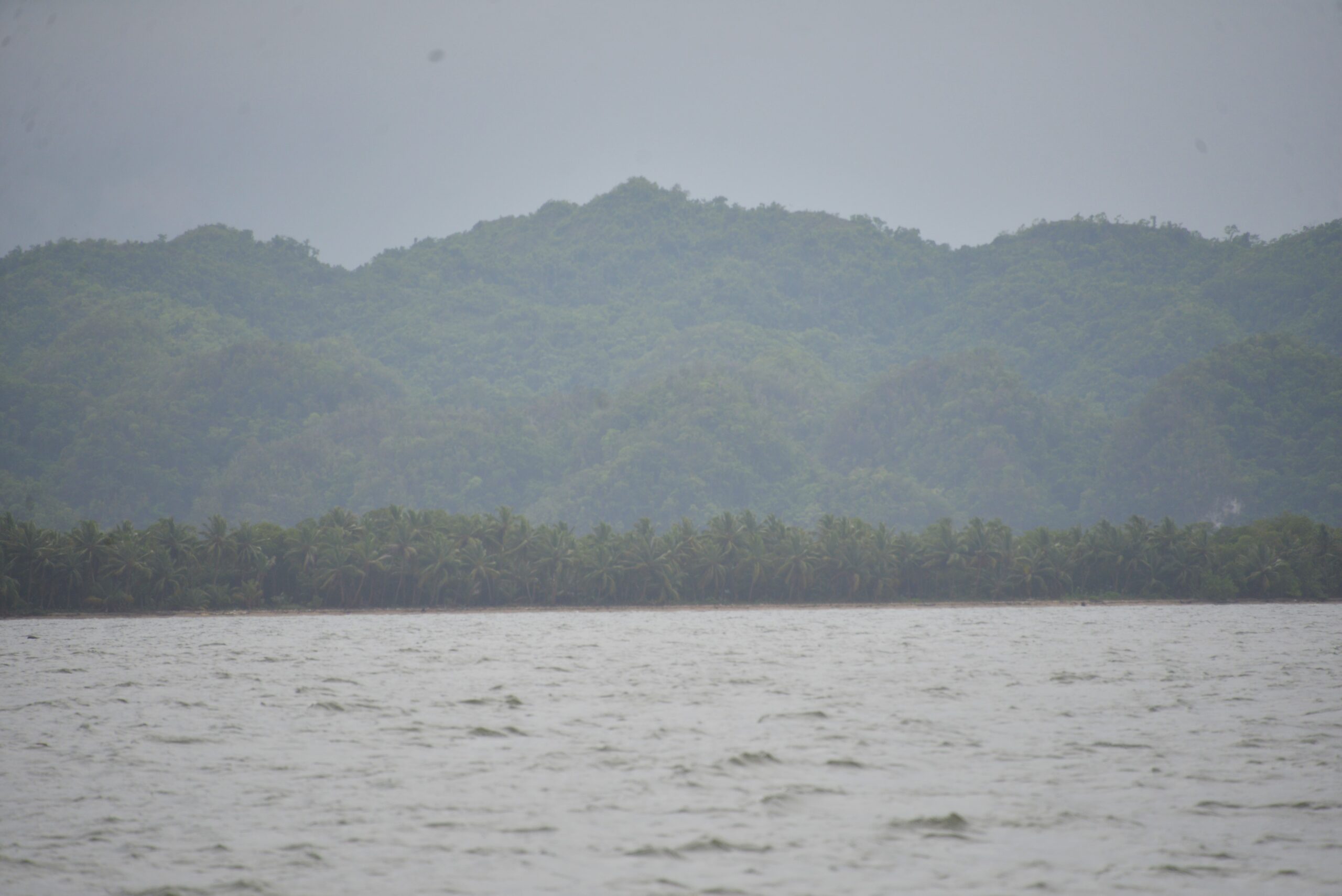
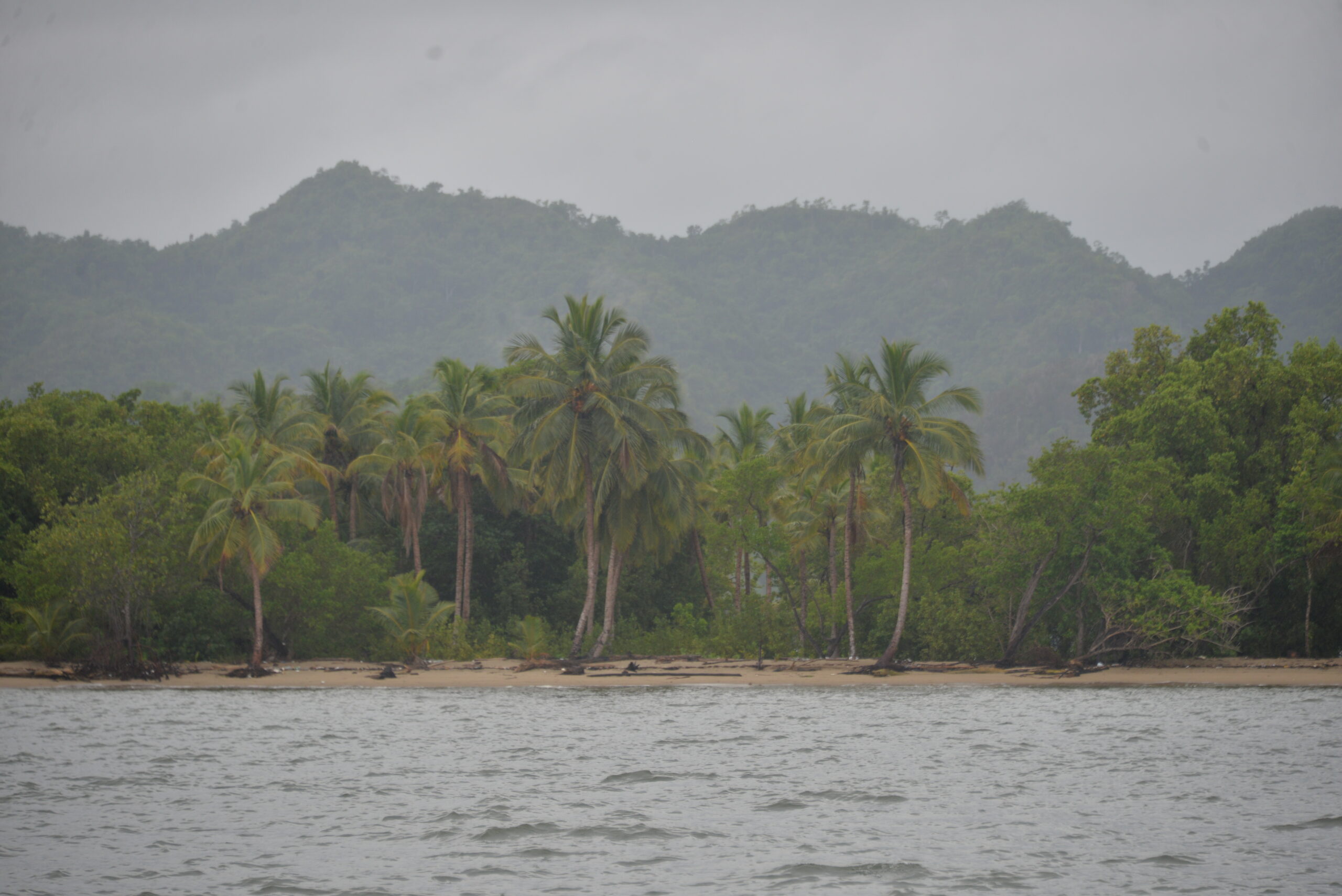
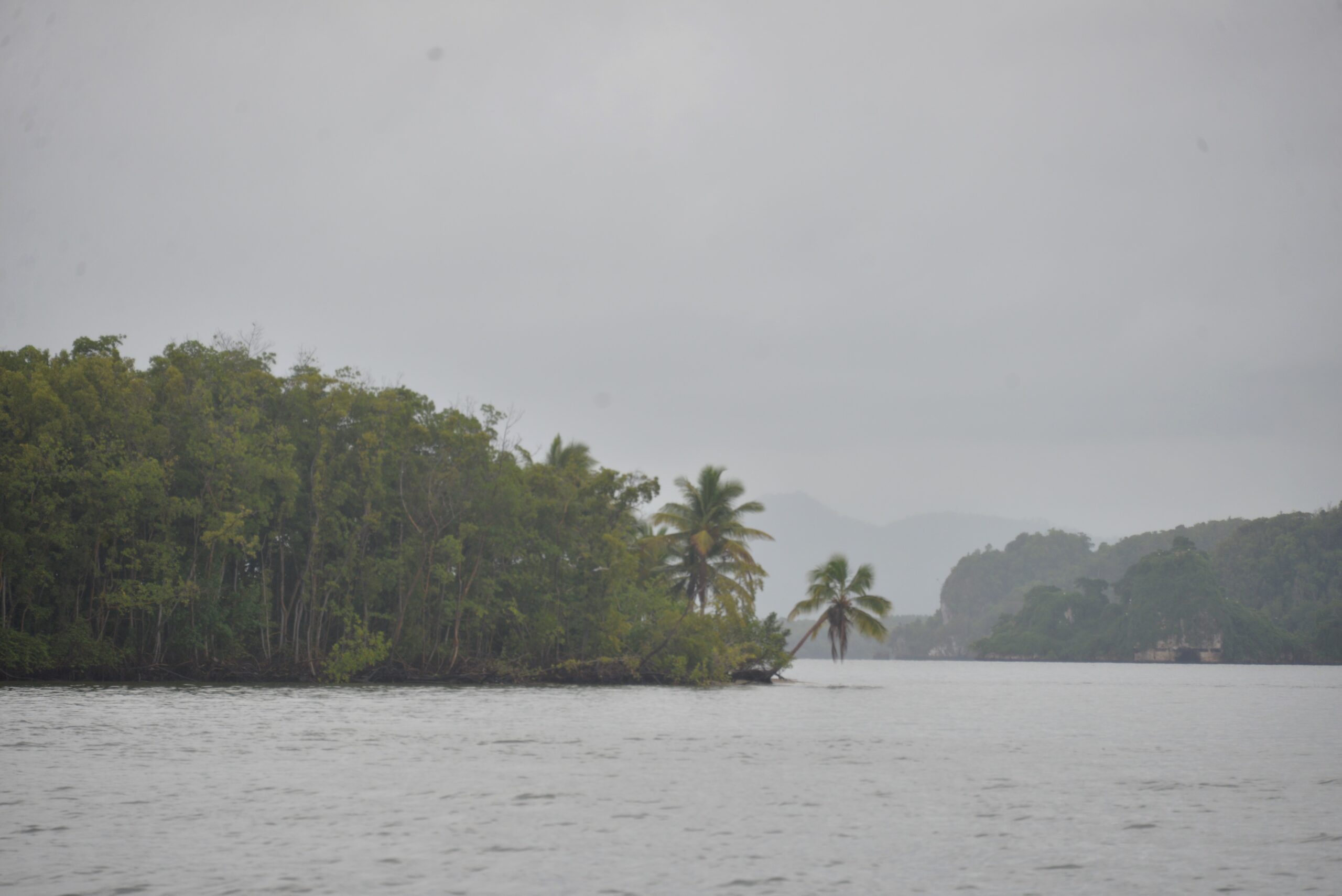
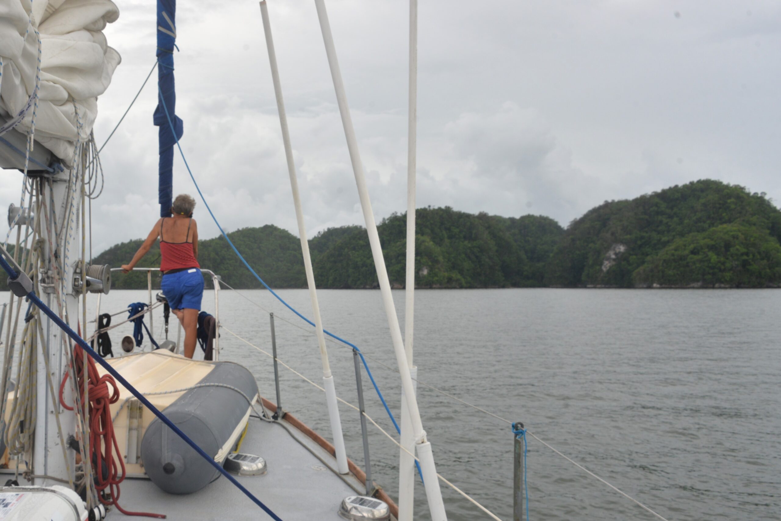
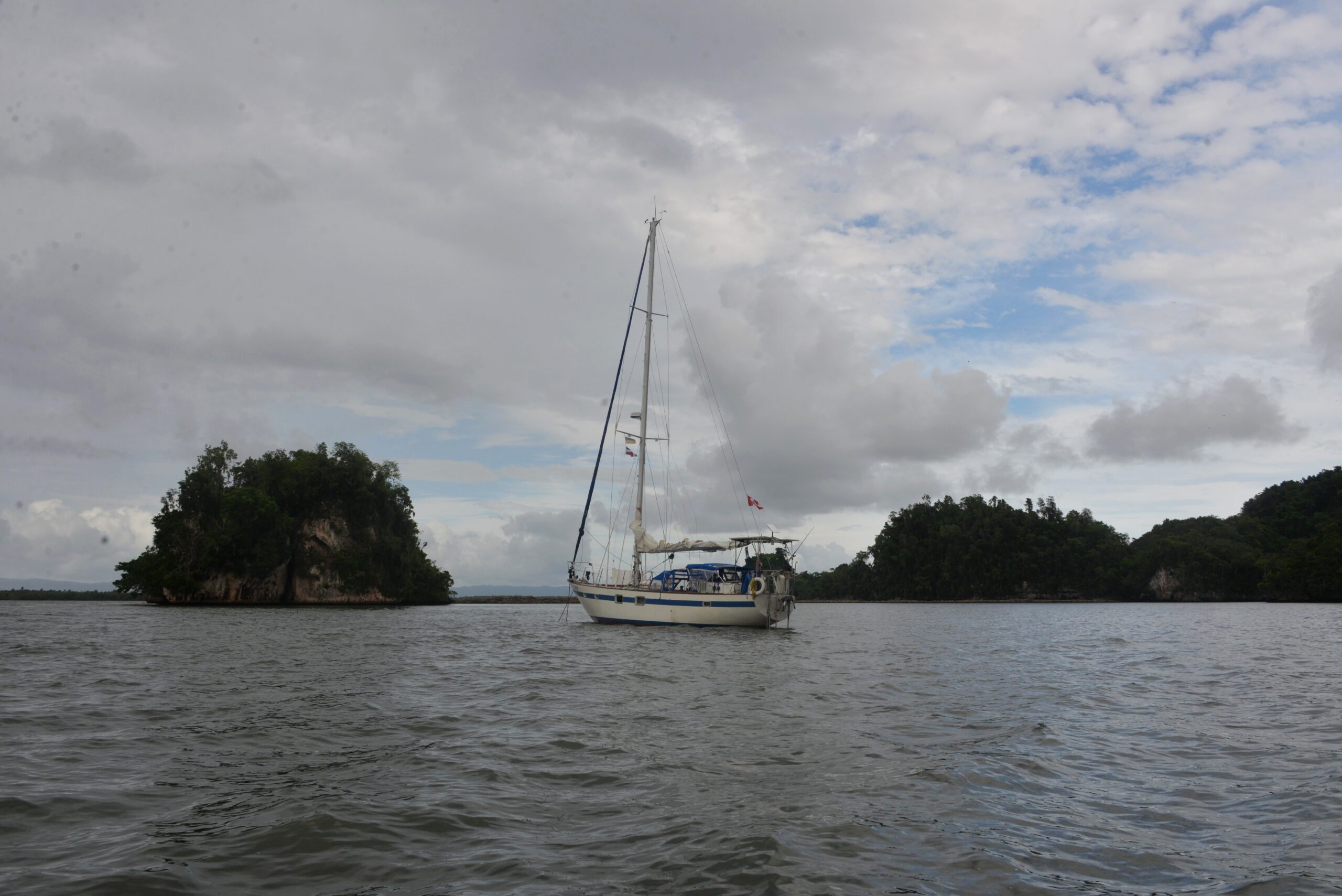
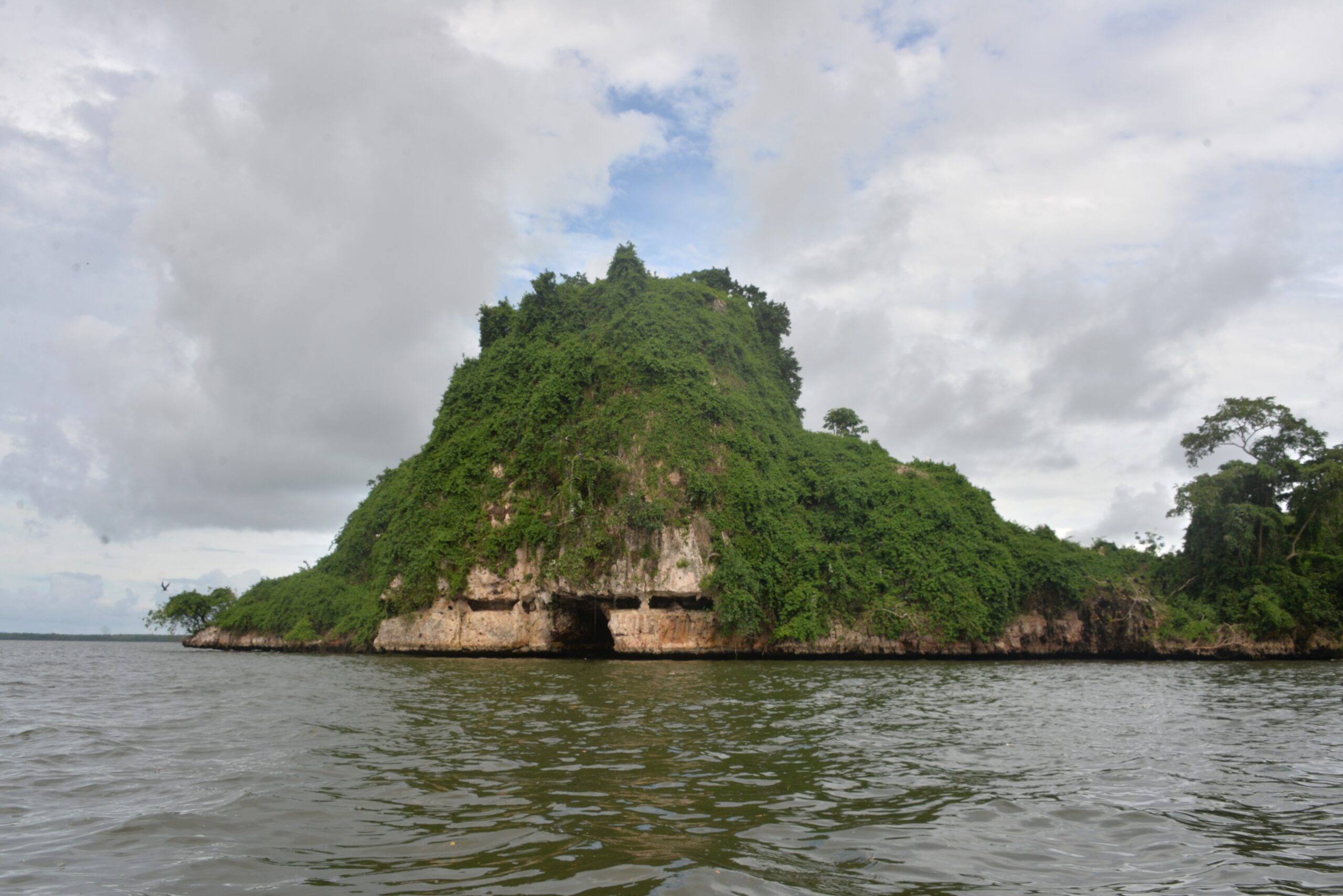
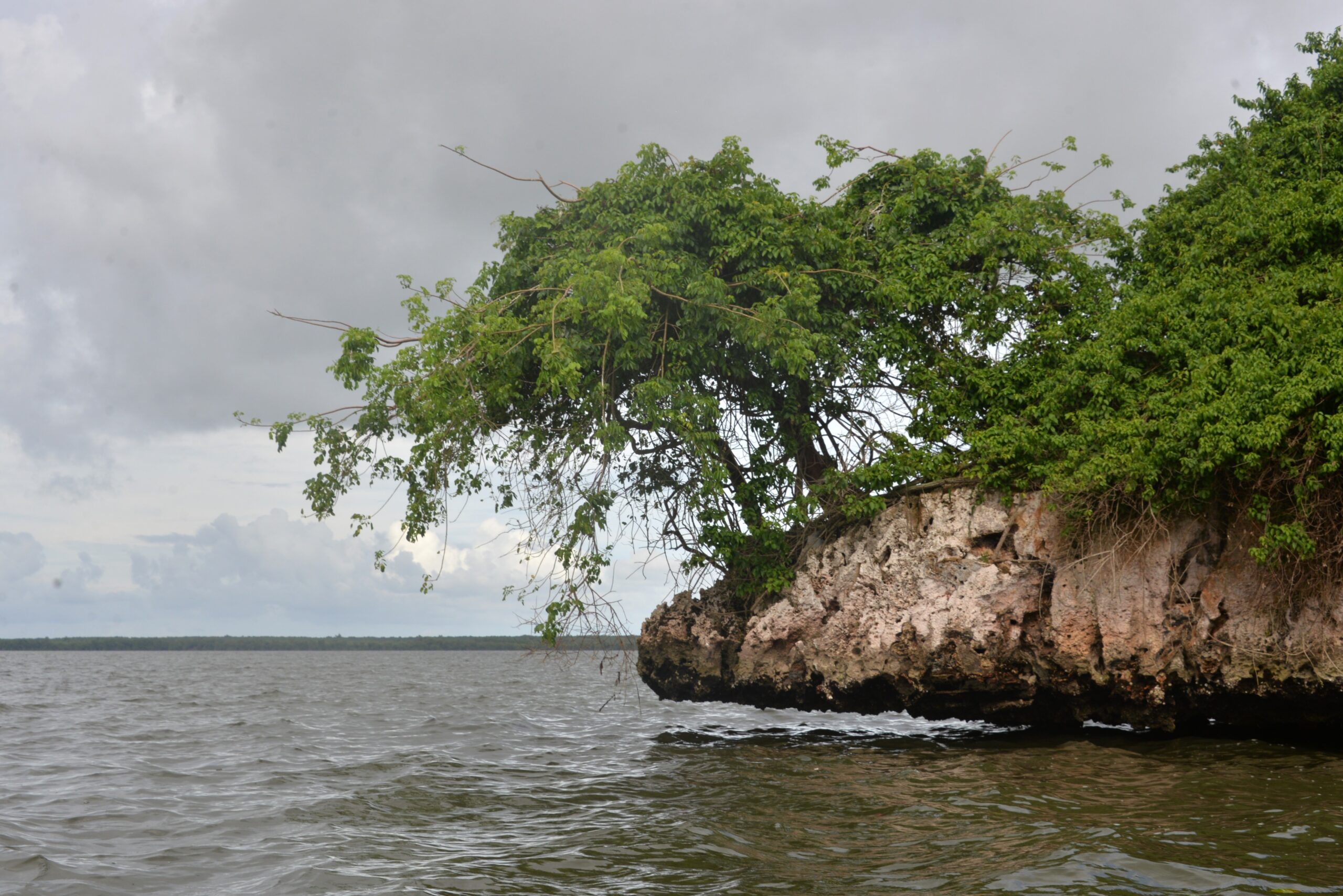
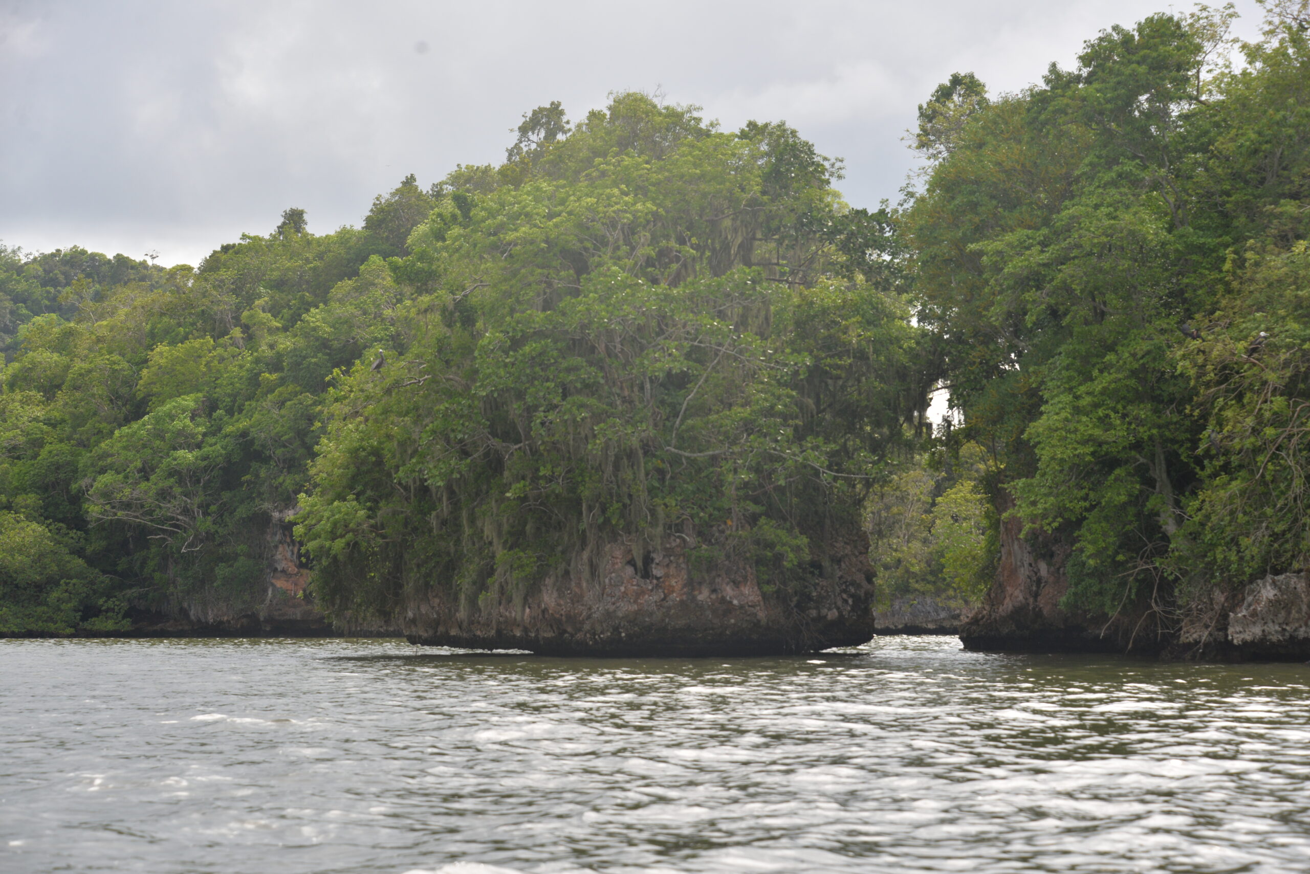
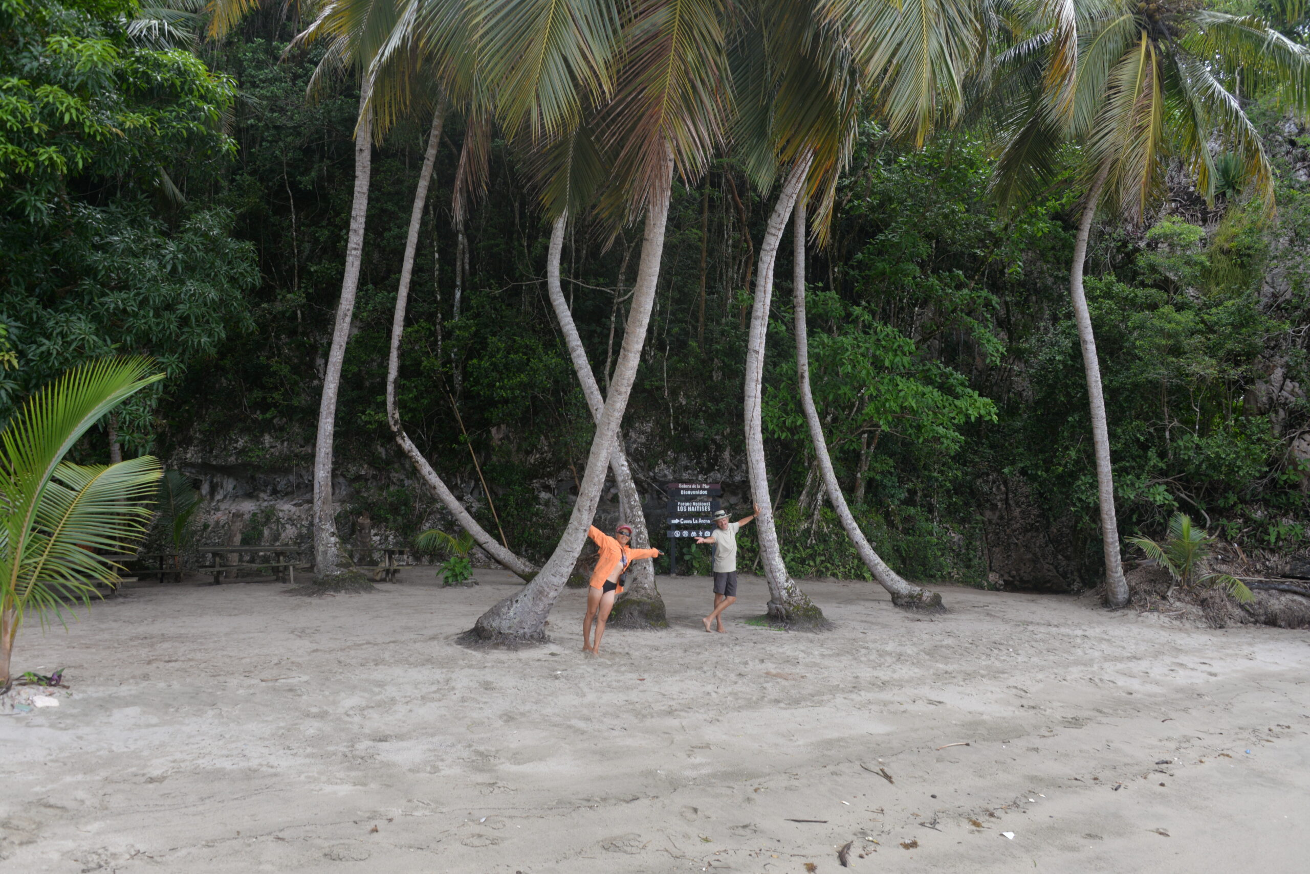
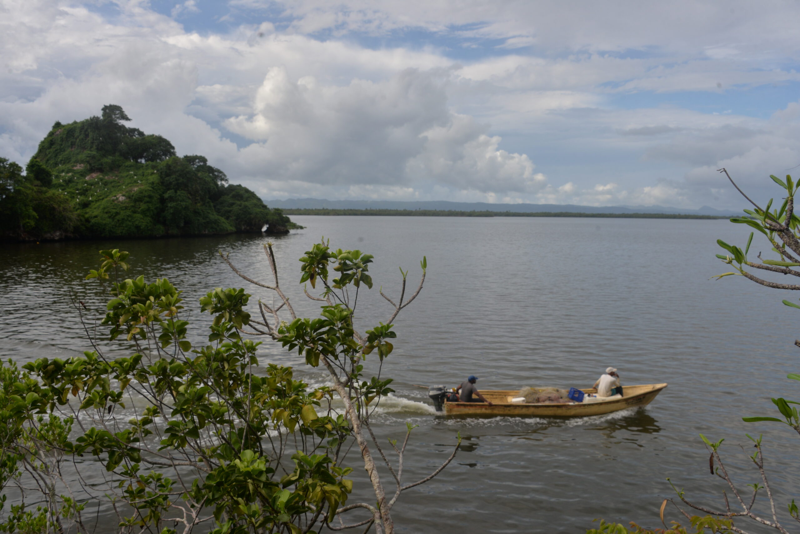
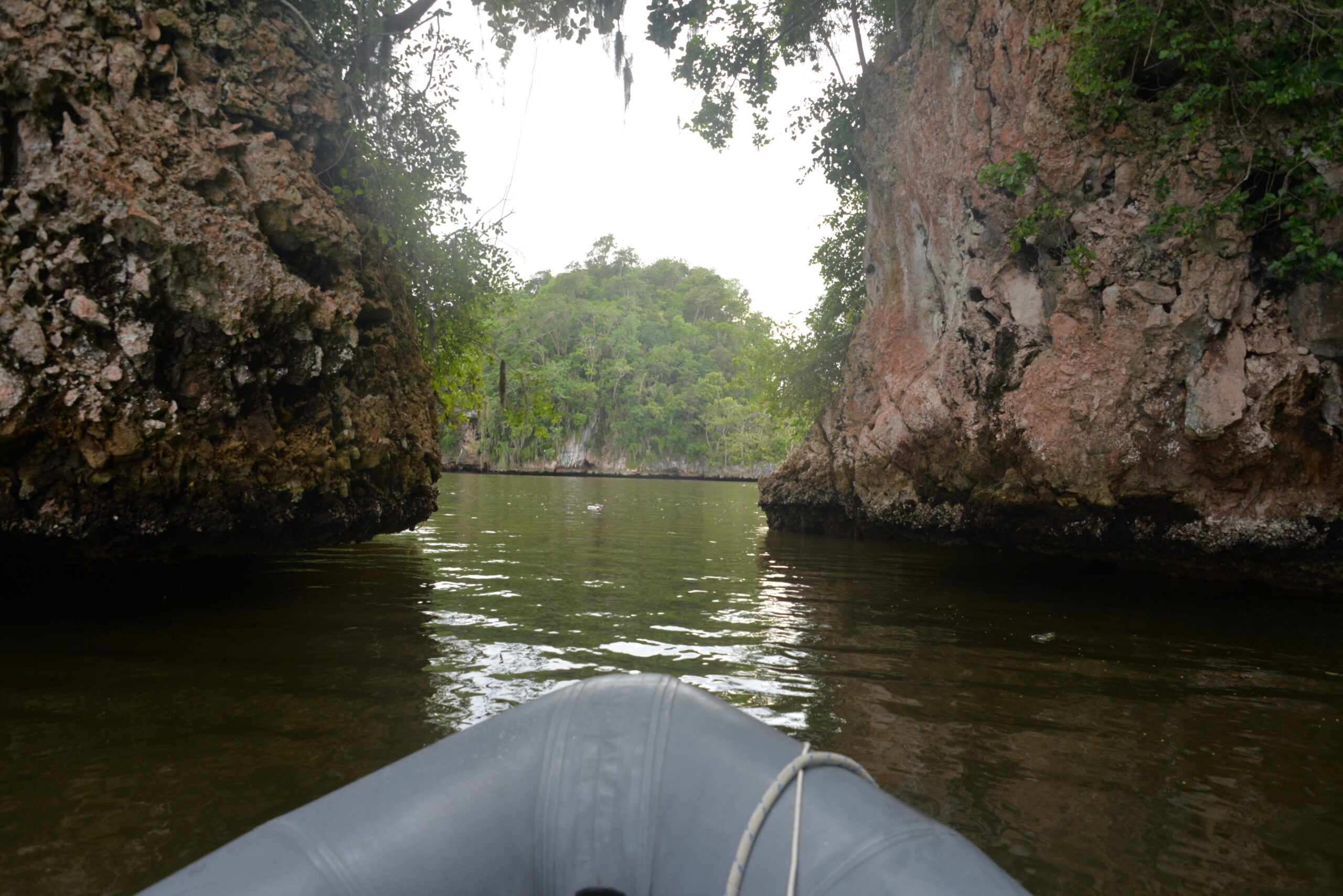
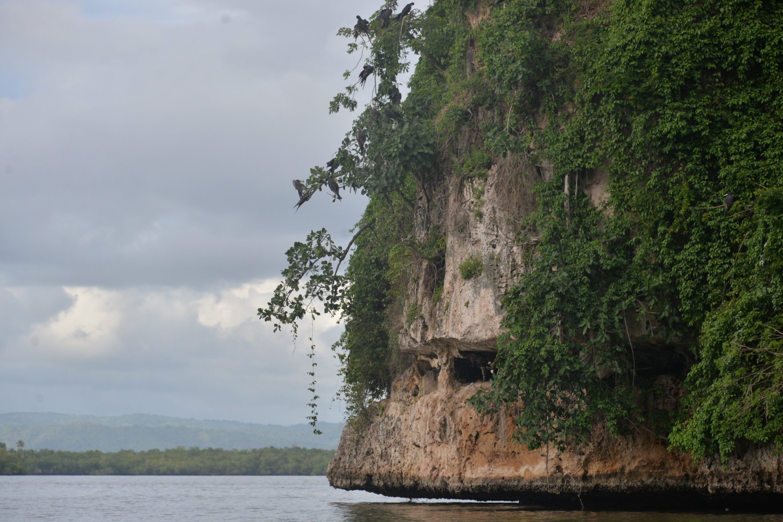
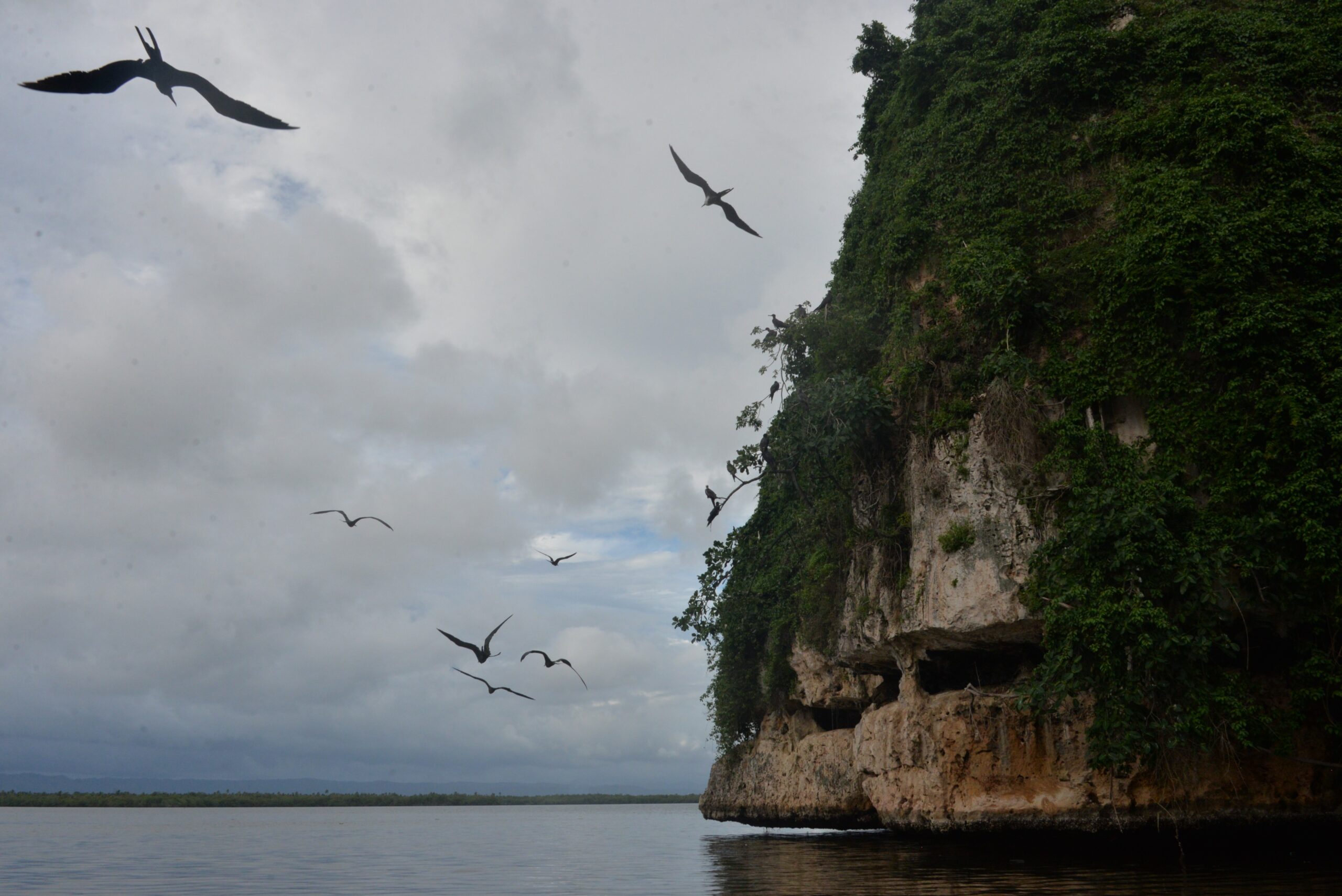
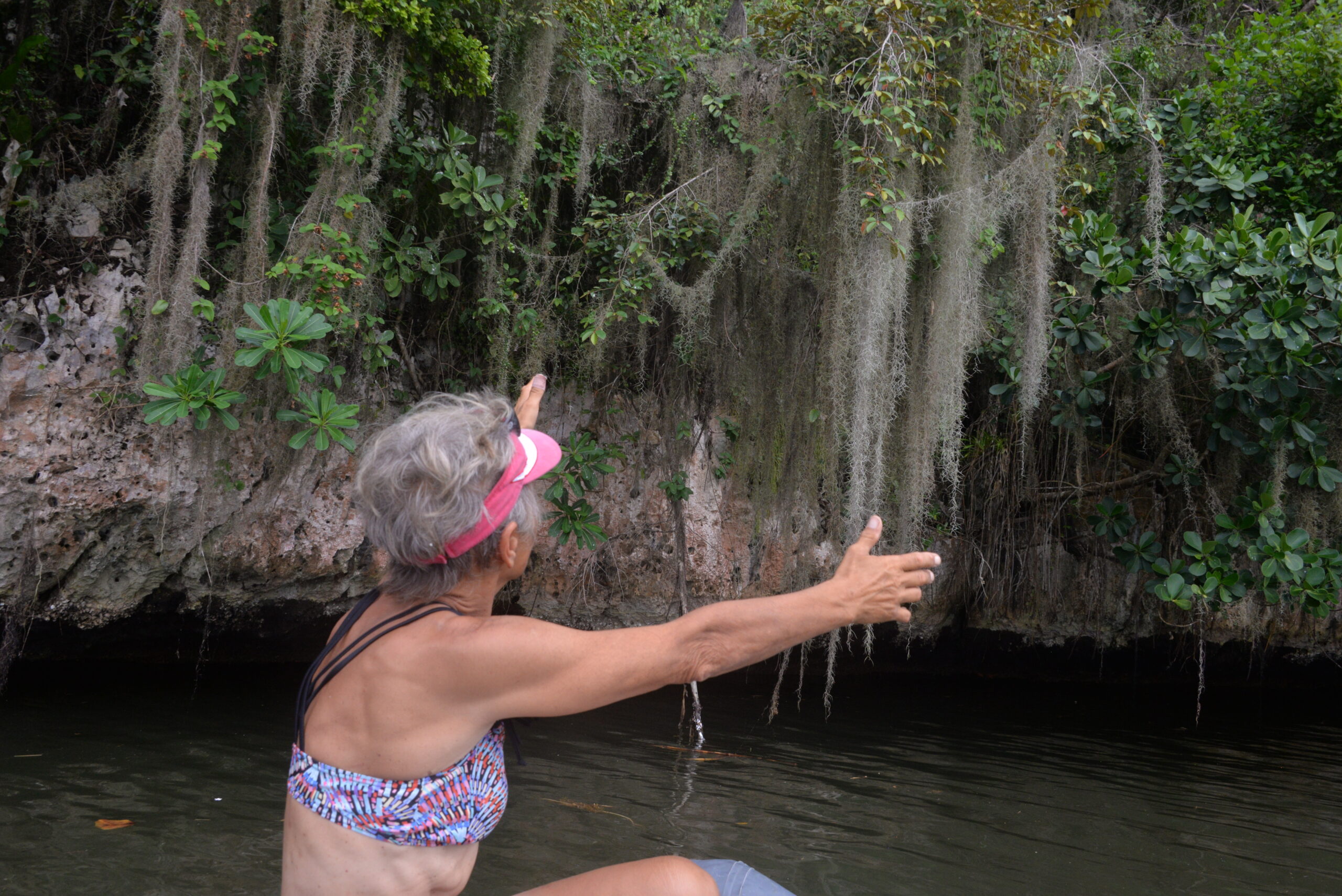
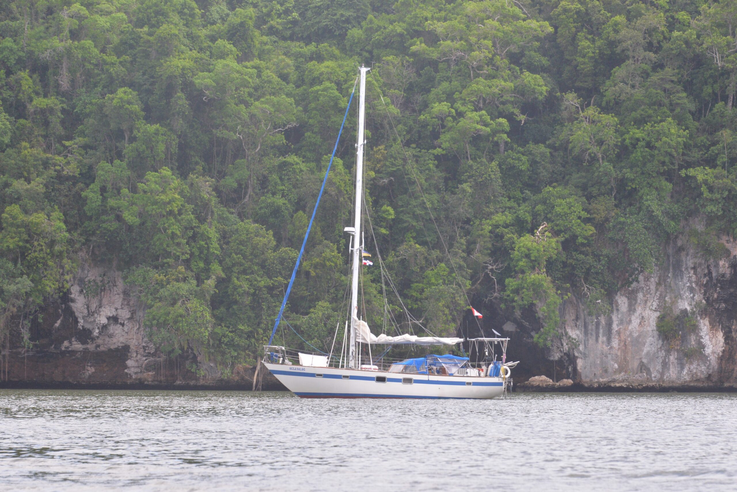
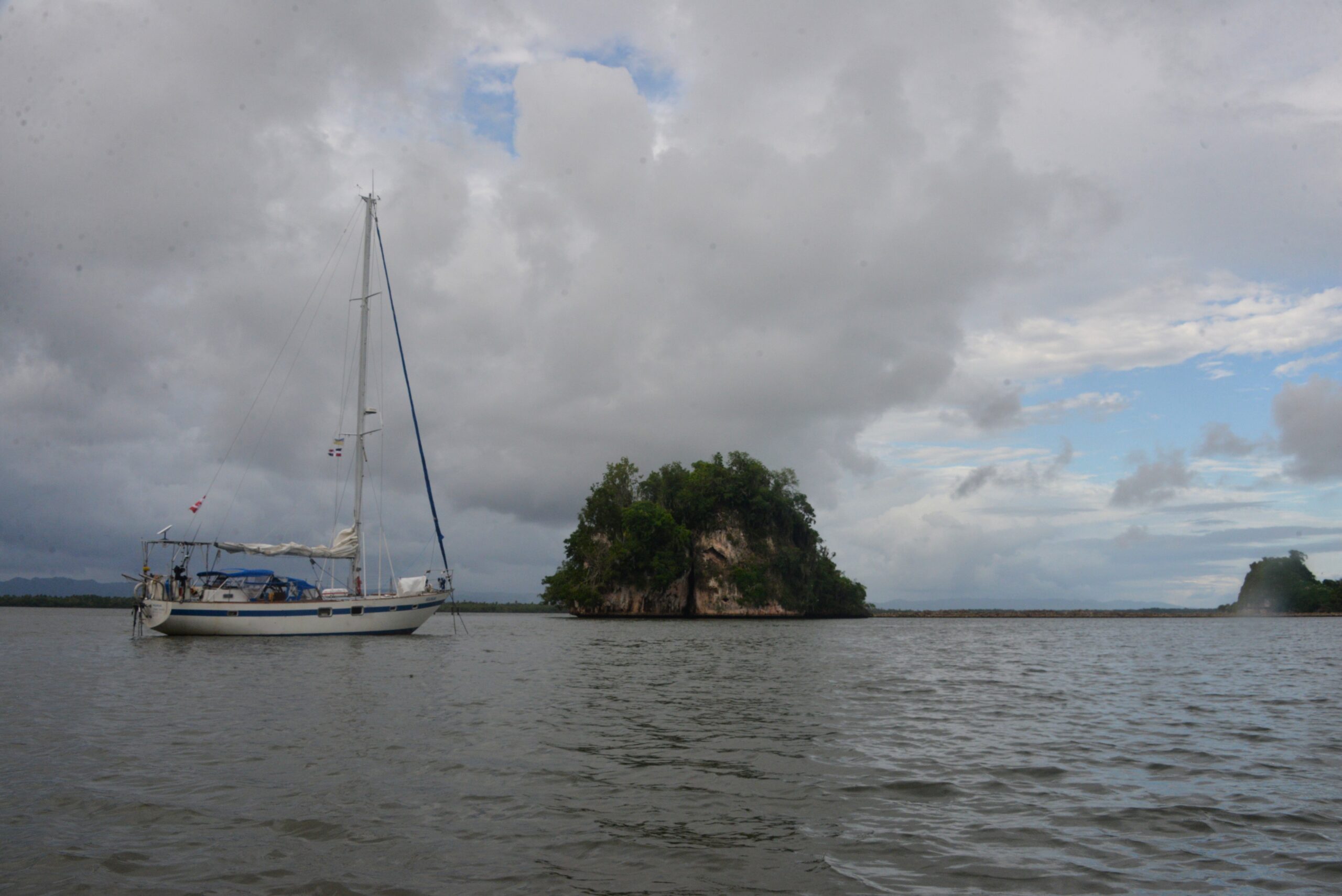
Covering a sprawling 1,600 km², Los Haitises National Park is a crown jewel of the Dominican Republic’s national parks. “Los Haitises” translates to “hilly land” in the Taino language, and this stunning park truly lives up to its name. Visitors flock here by boat to marvel at the impressive 30-meter (98-foot) high rock formations that rise dramatically from the water.
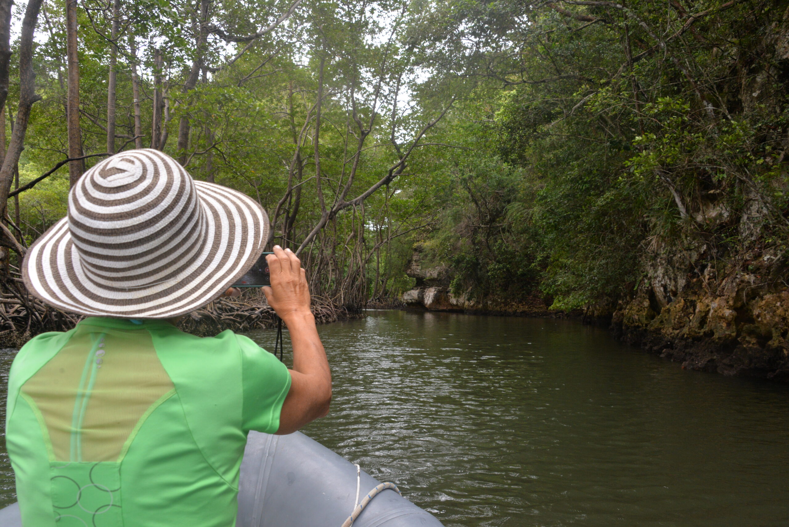
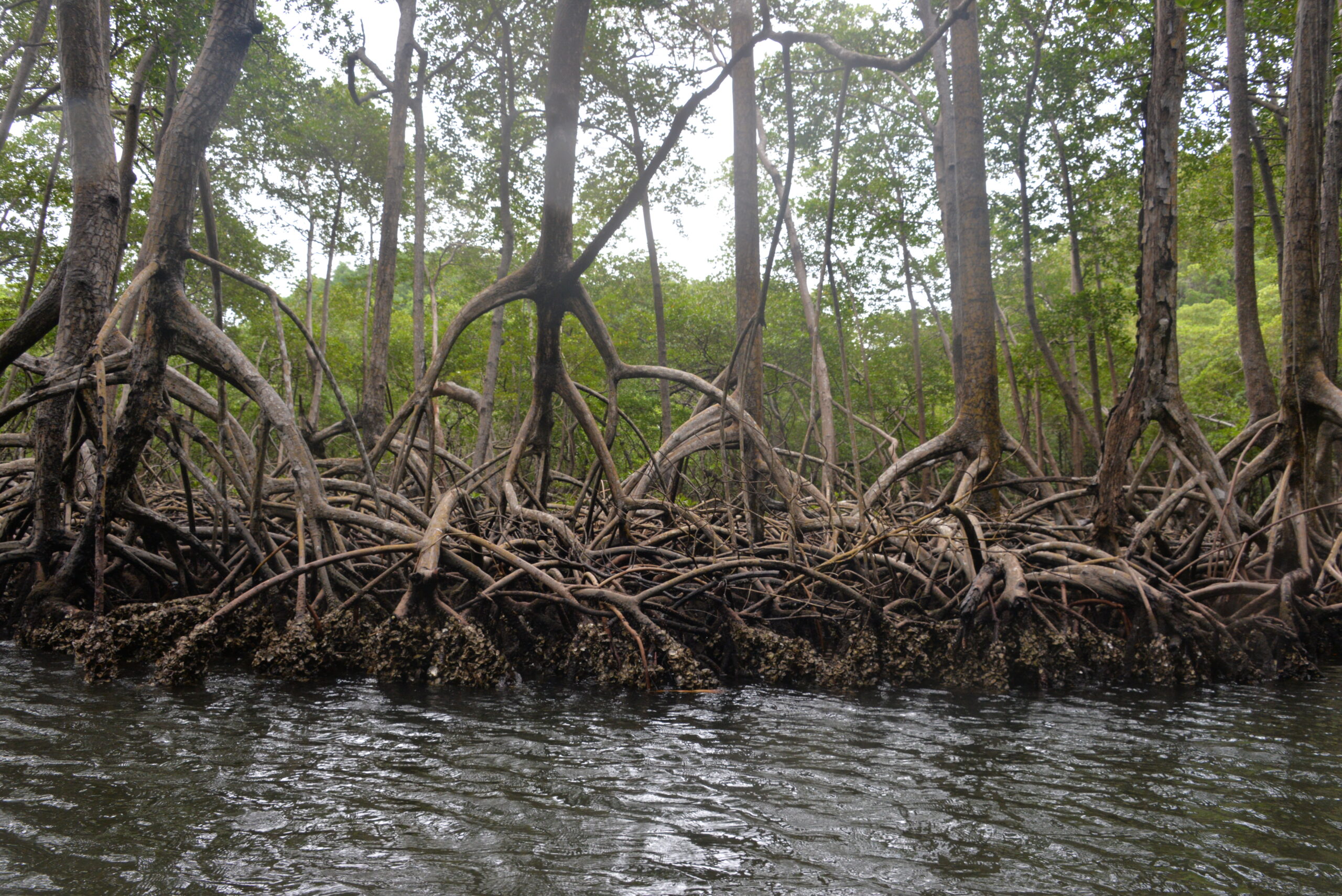
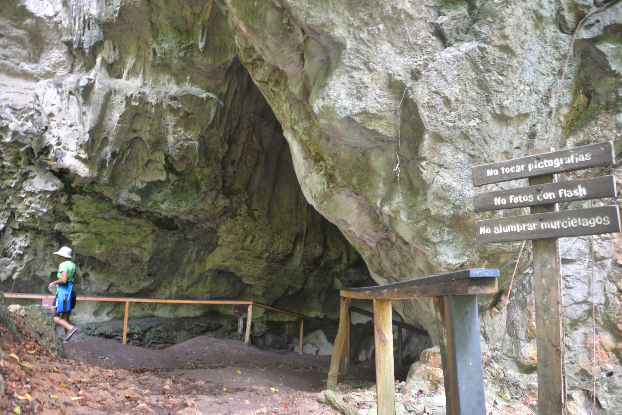
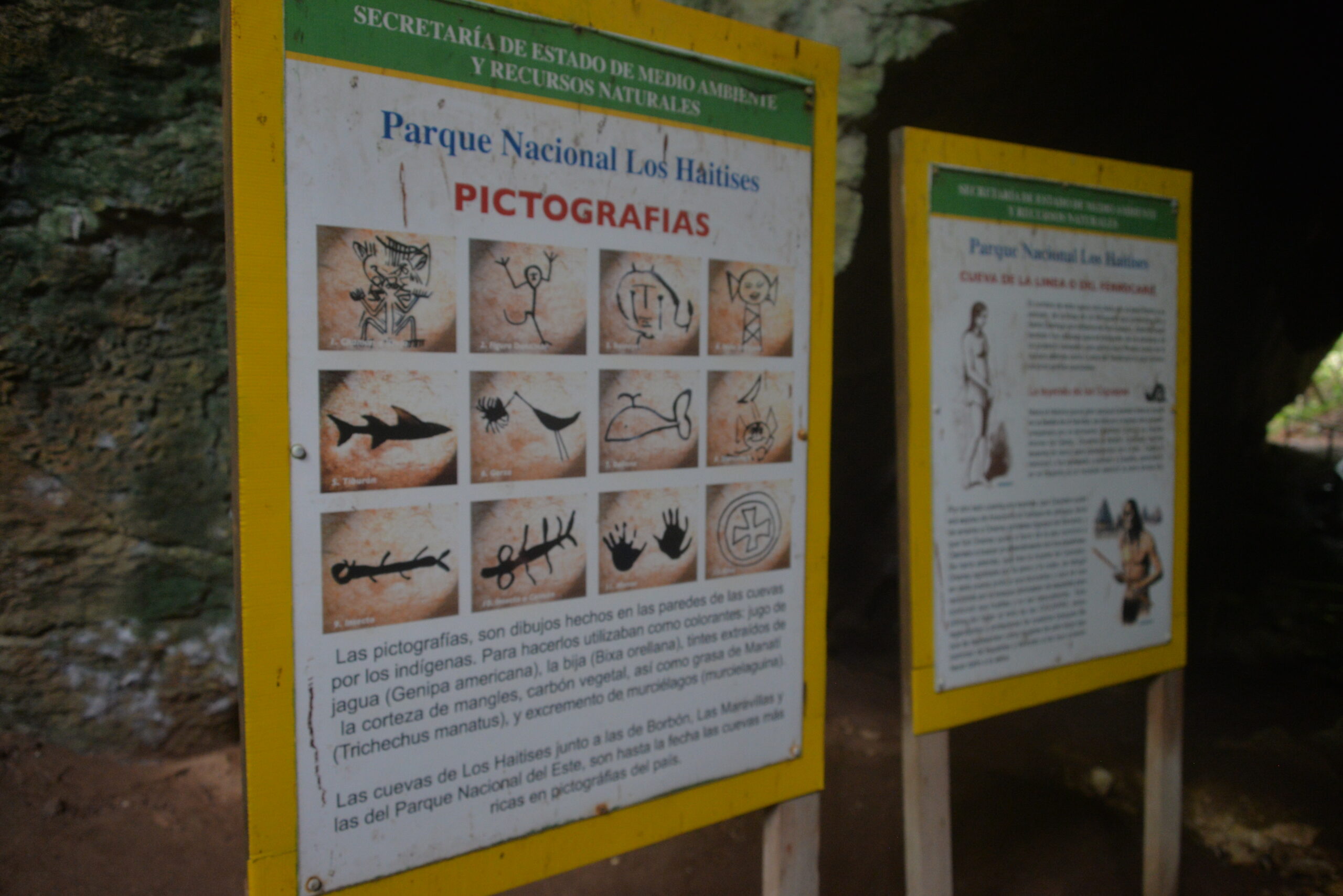
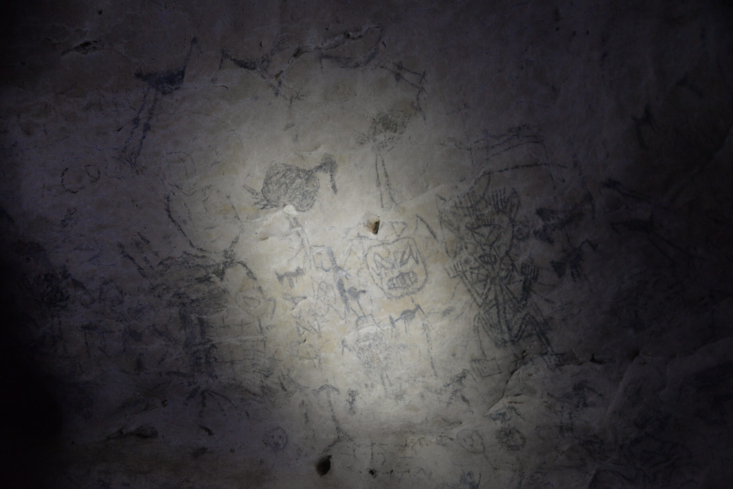
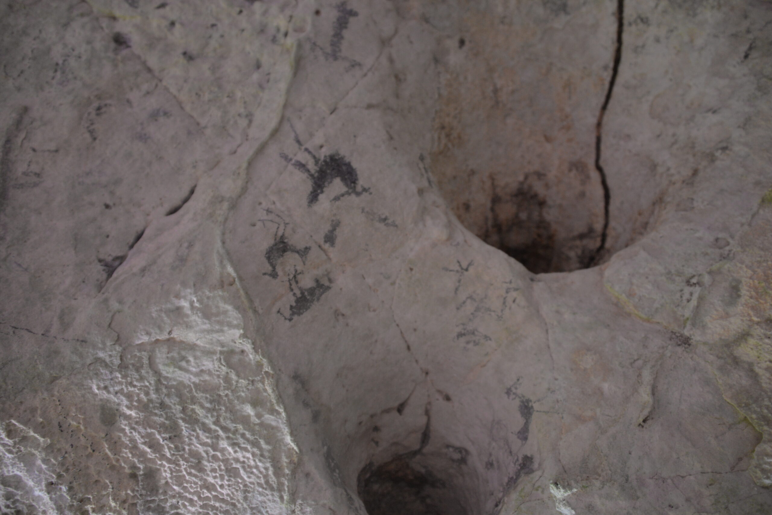
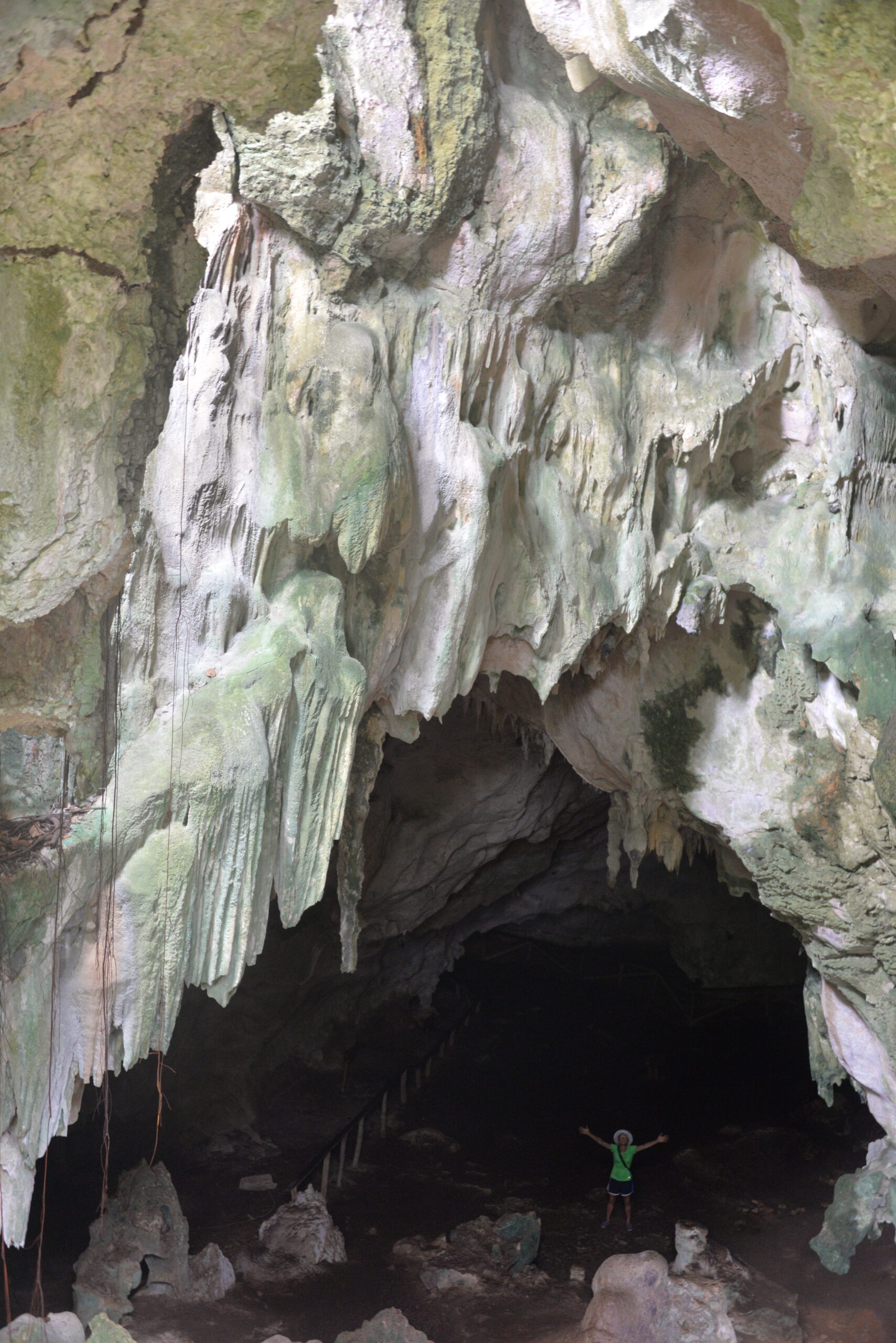
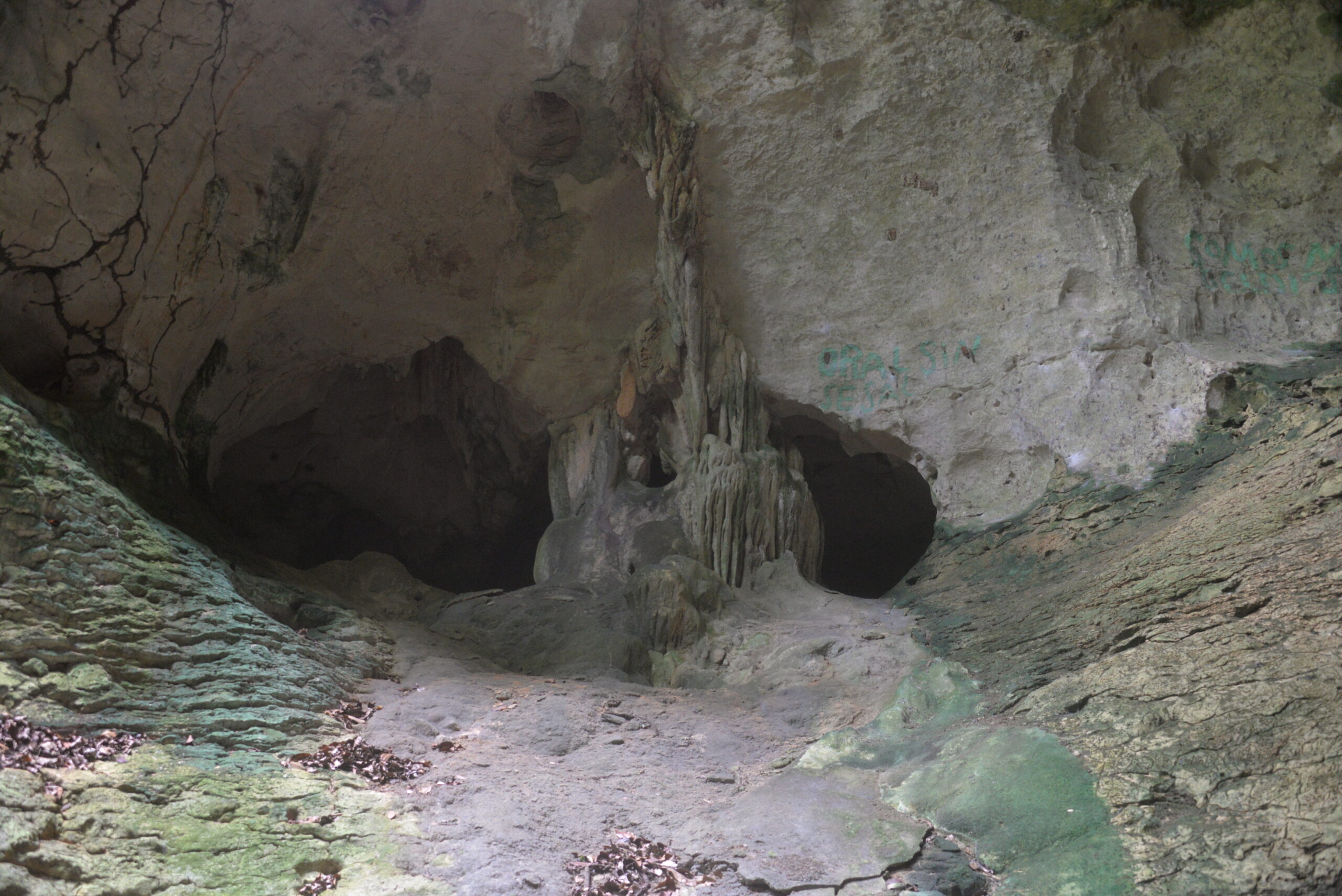
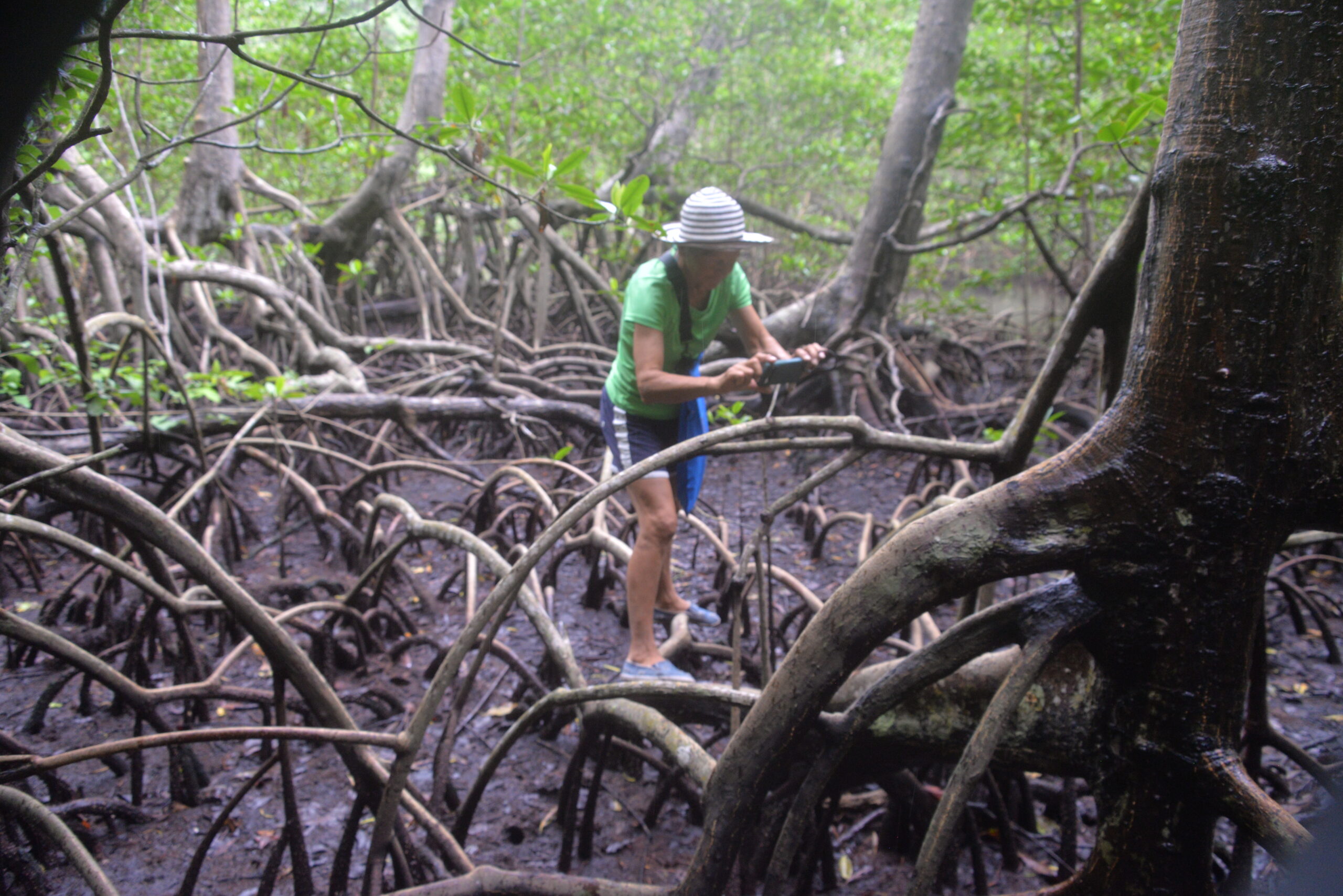
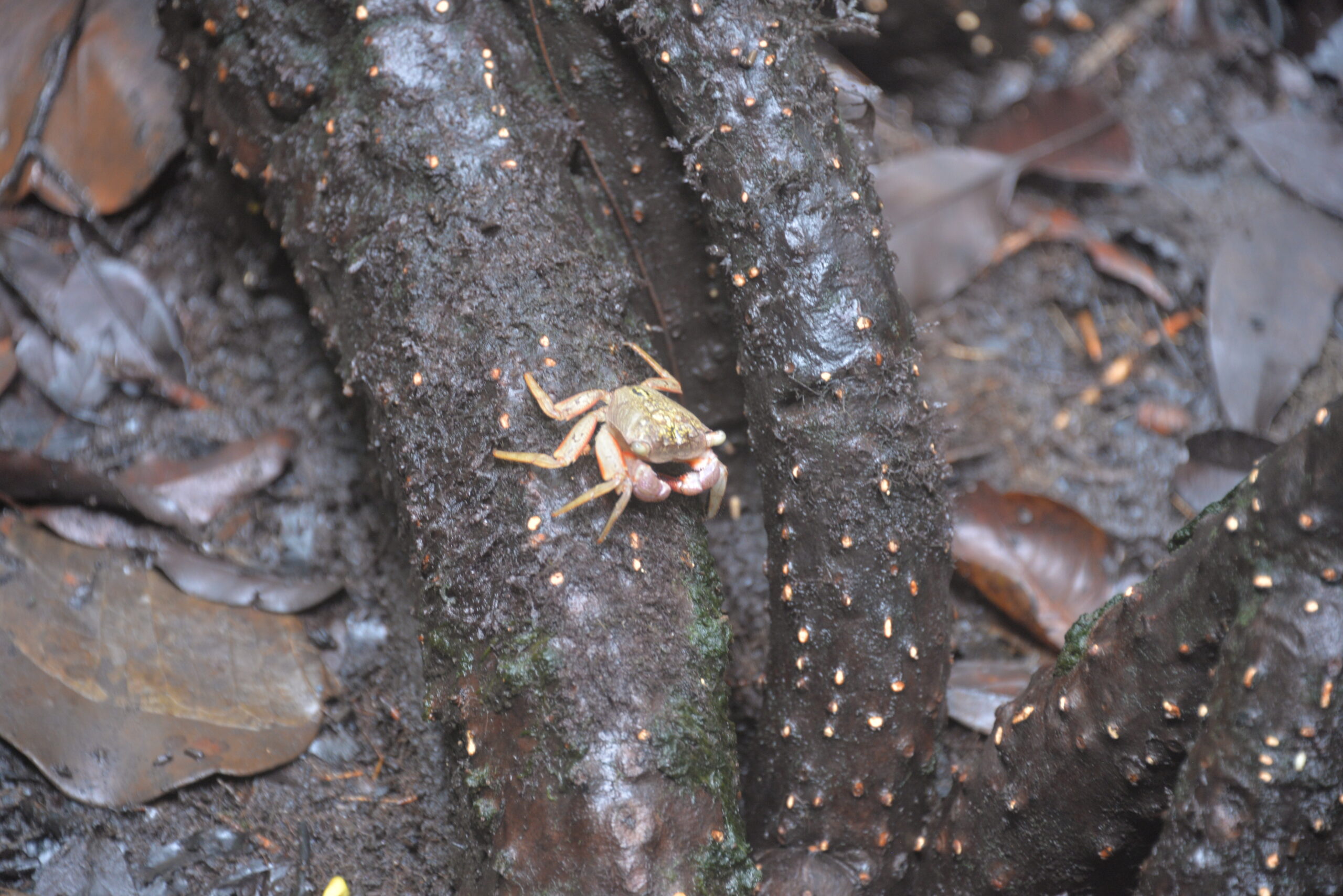
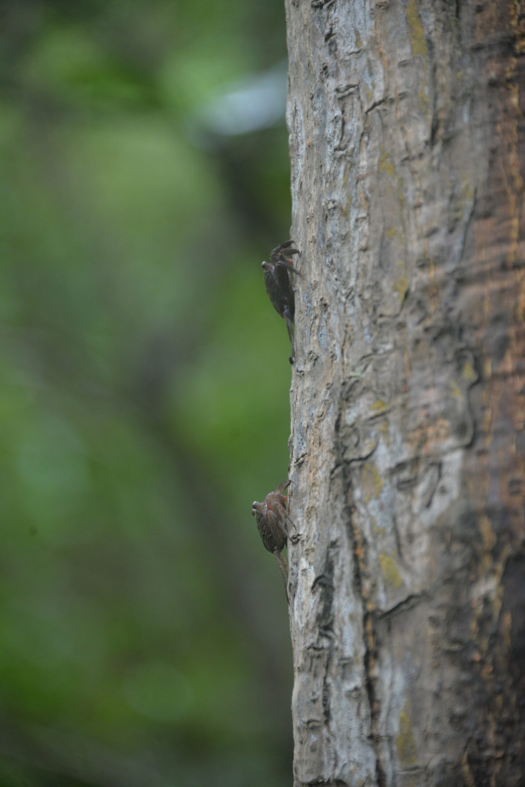
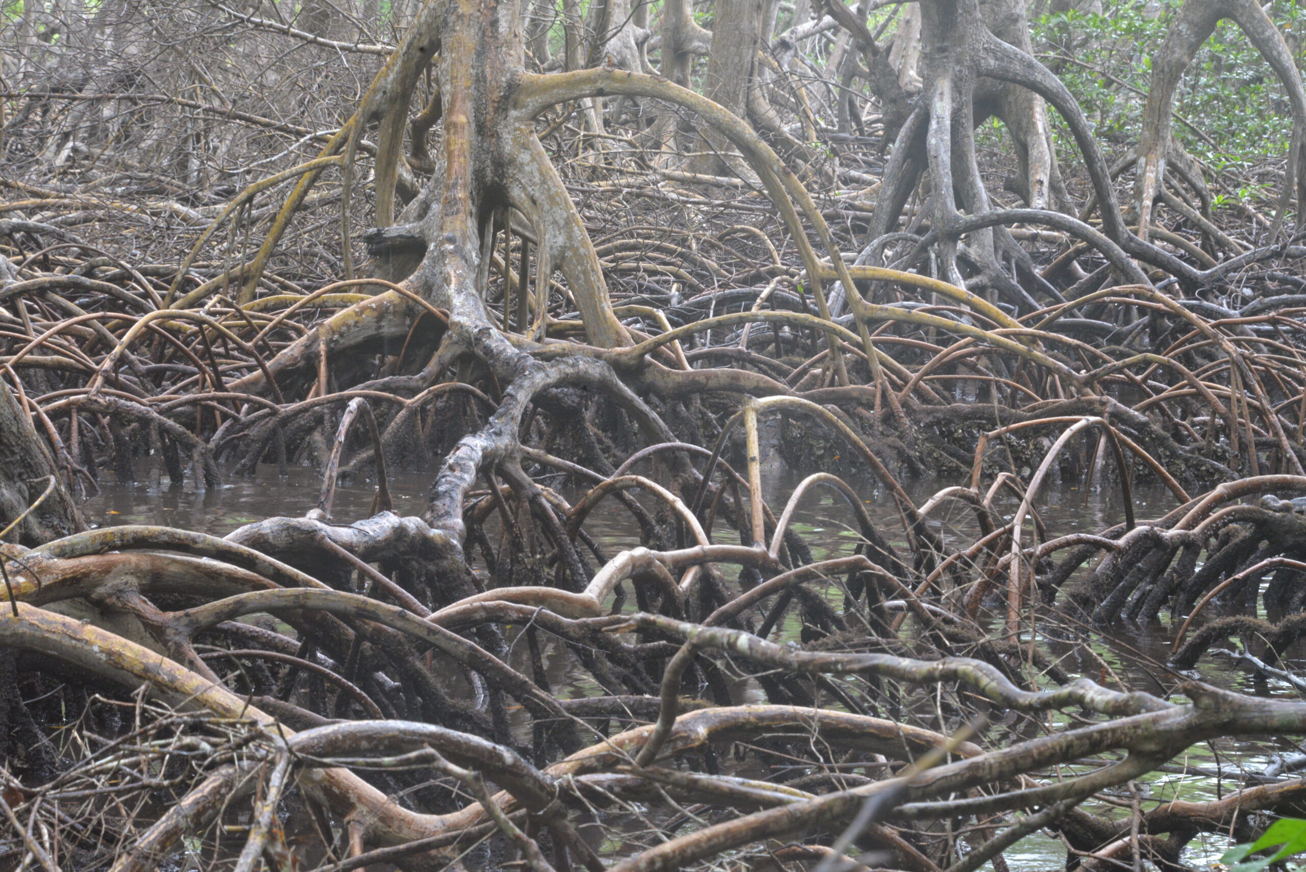
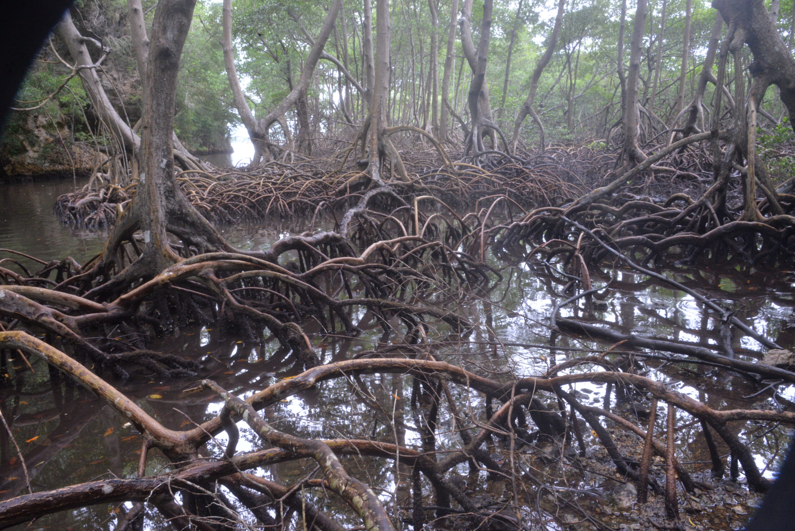
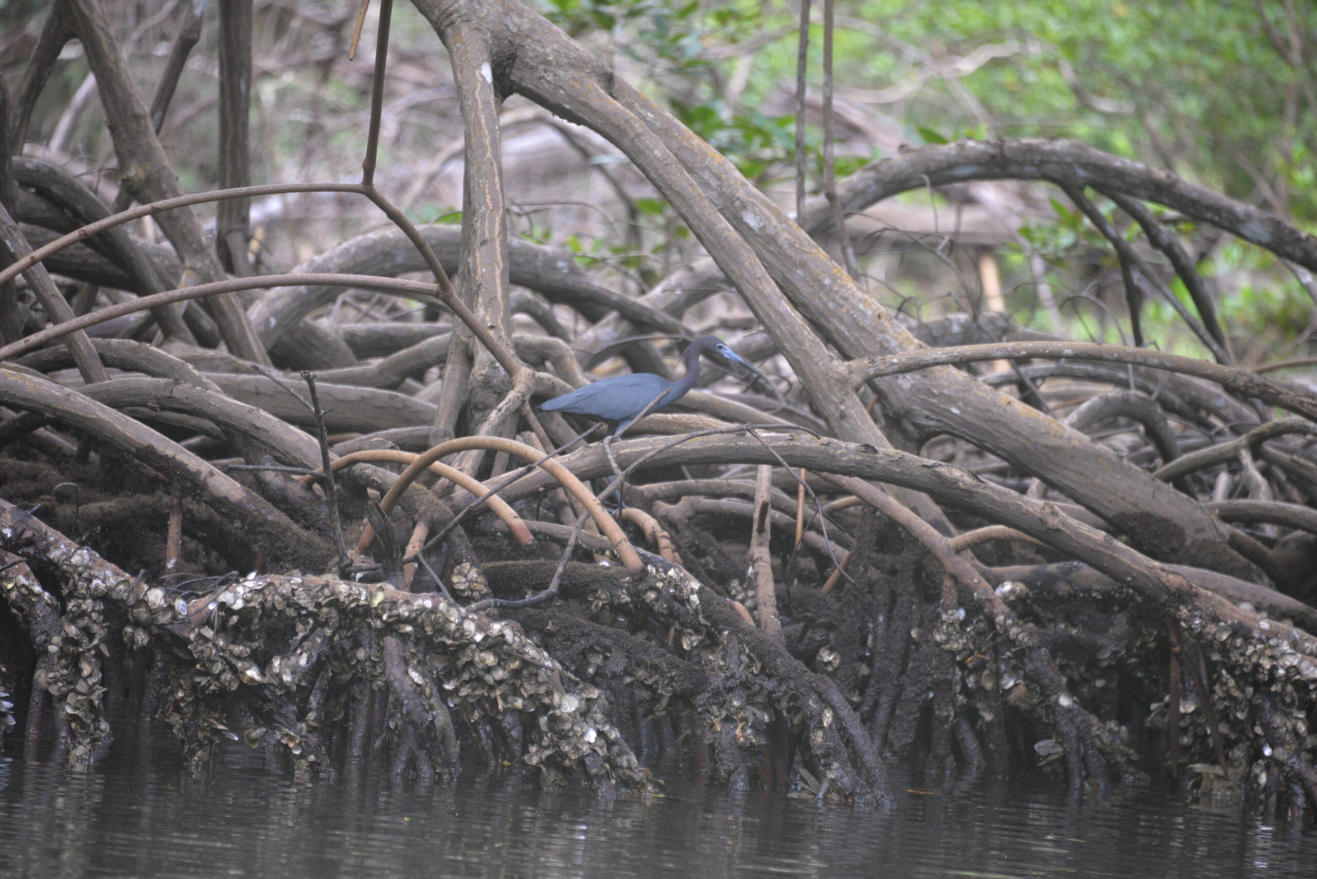
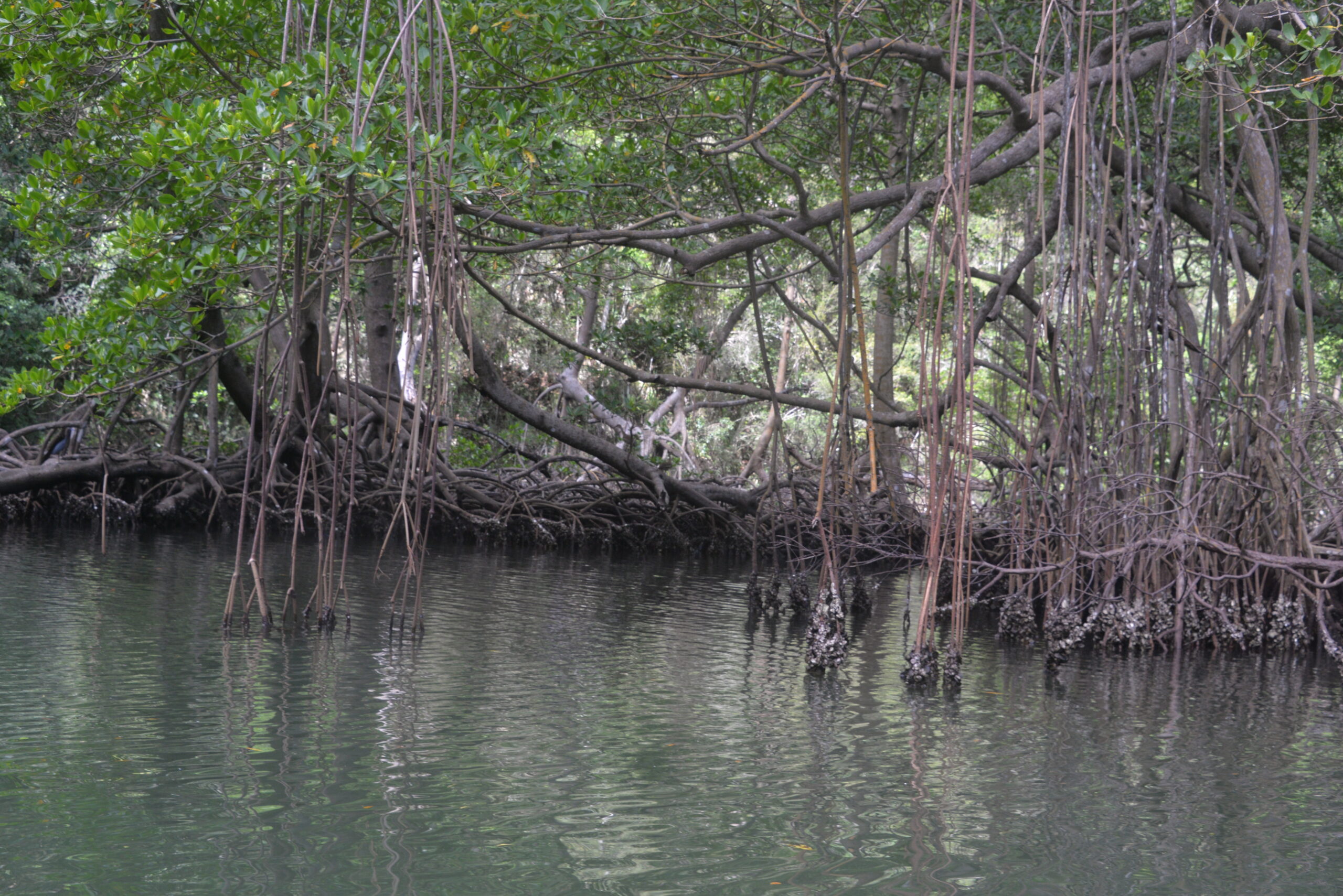
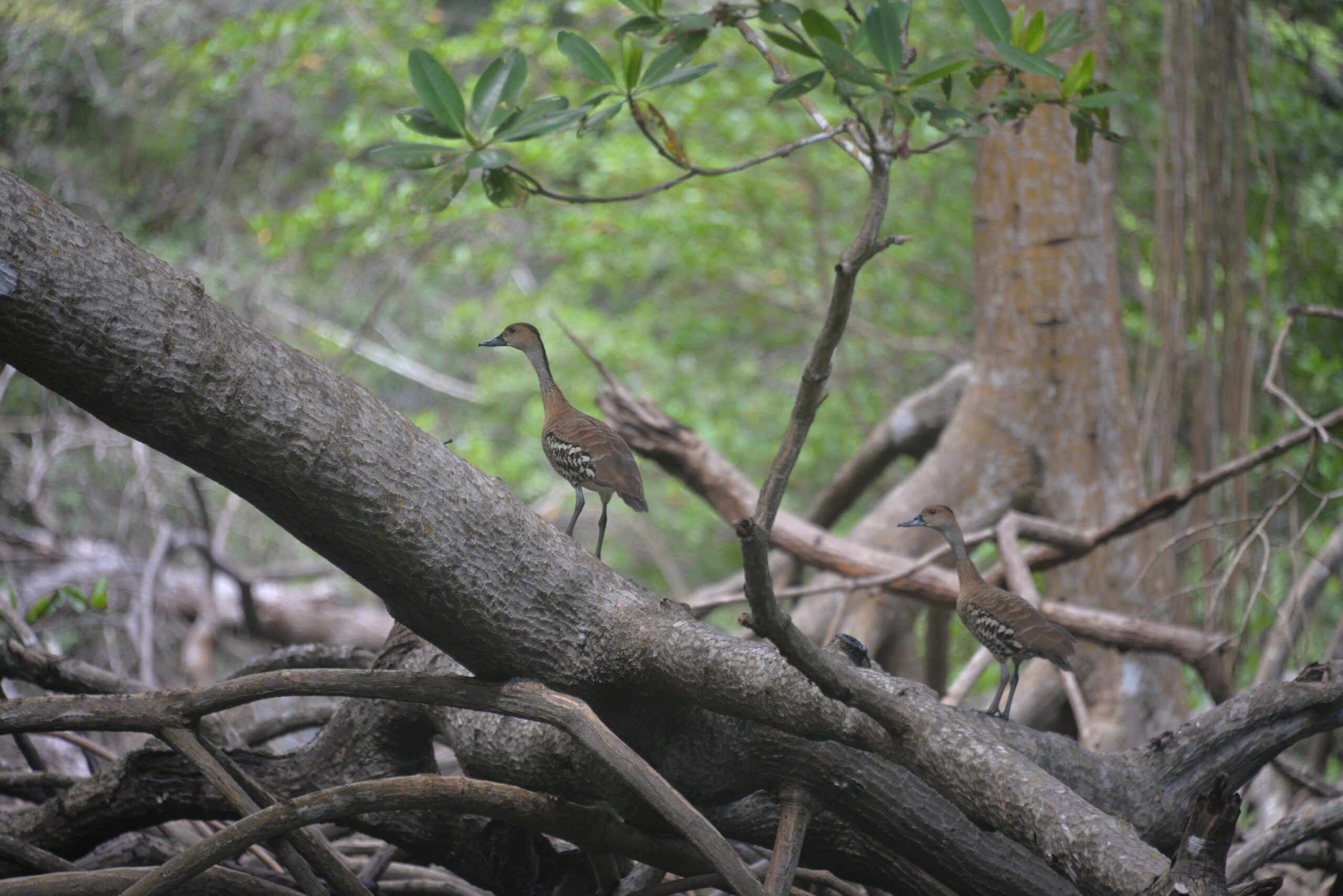
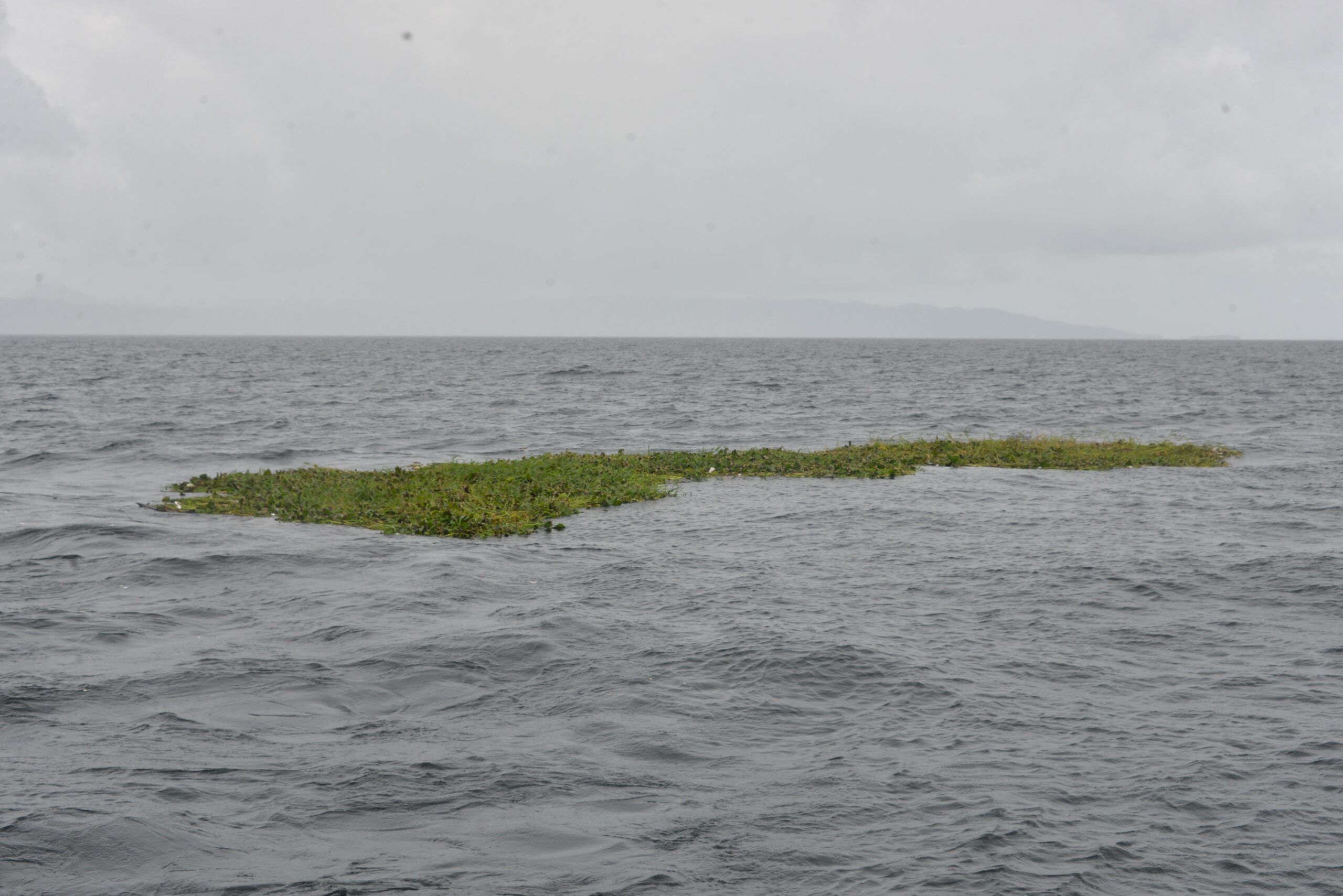
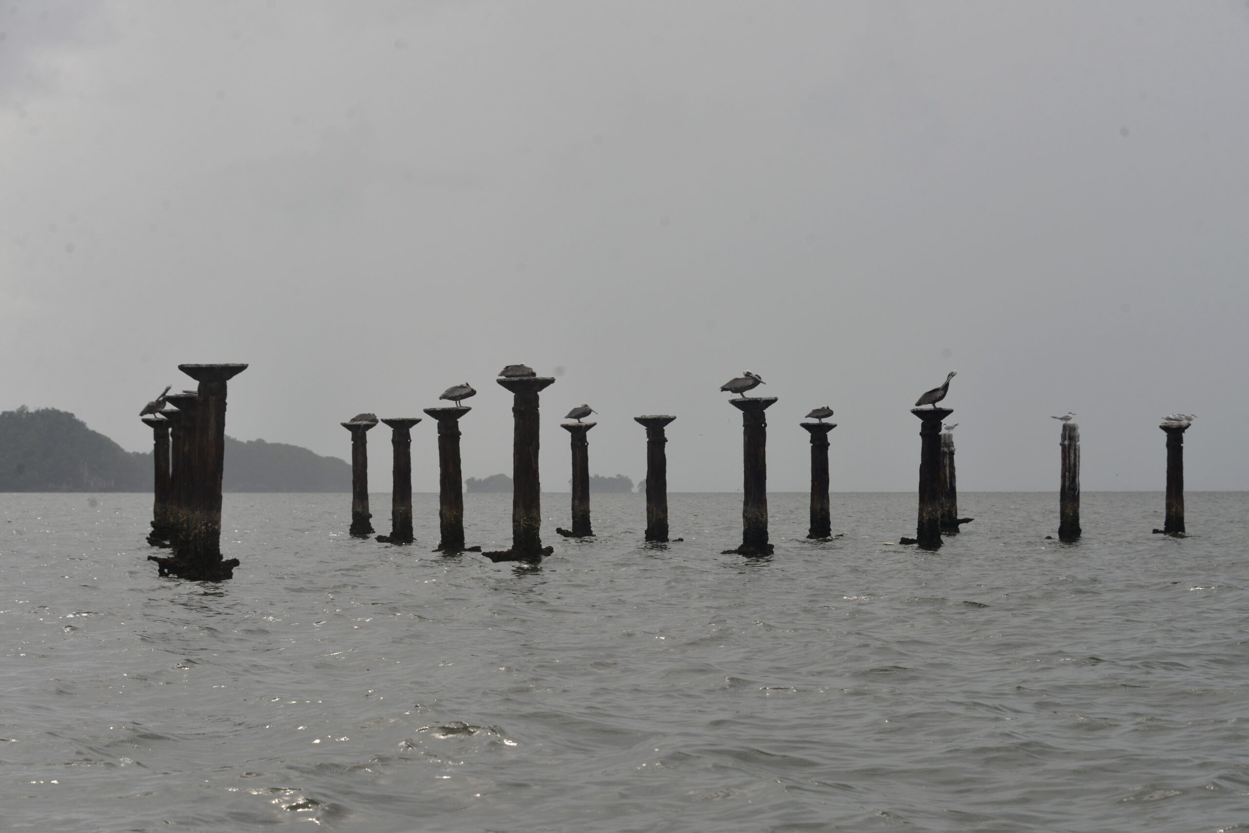
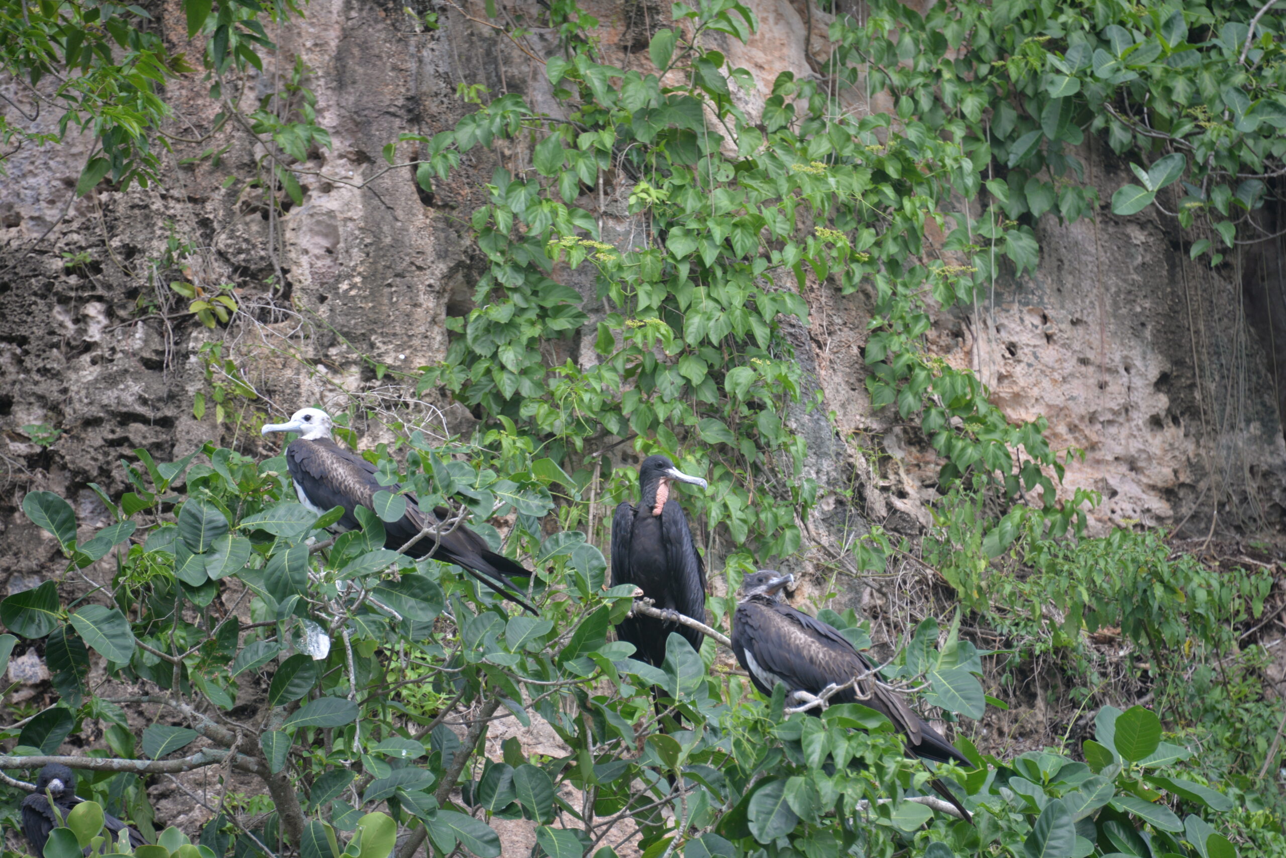
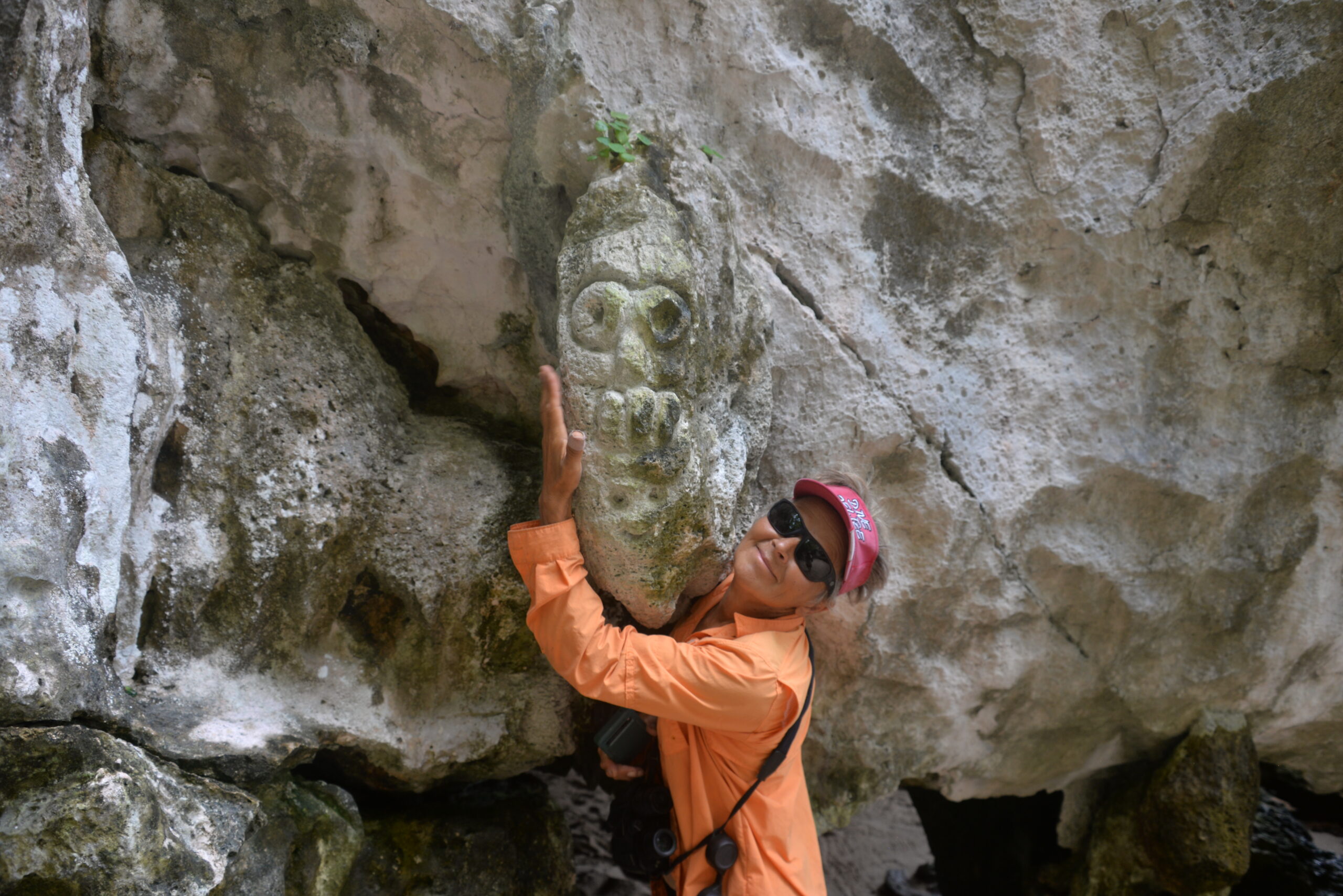
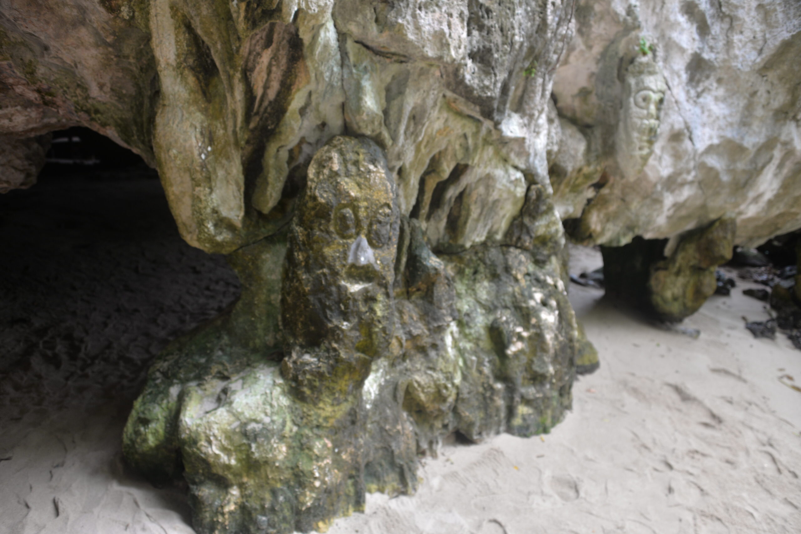
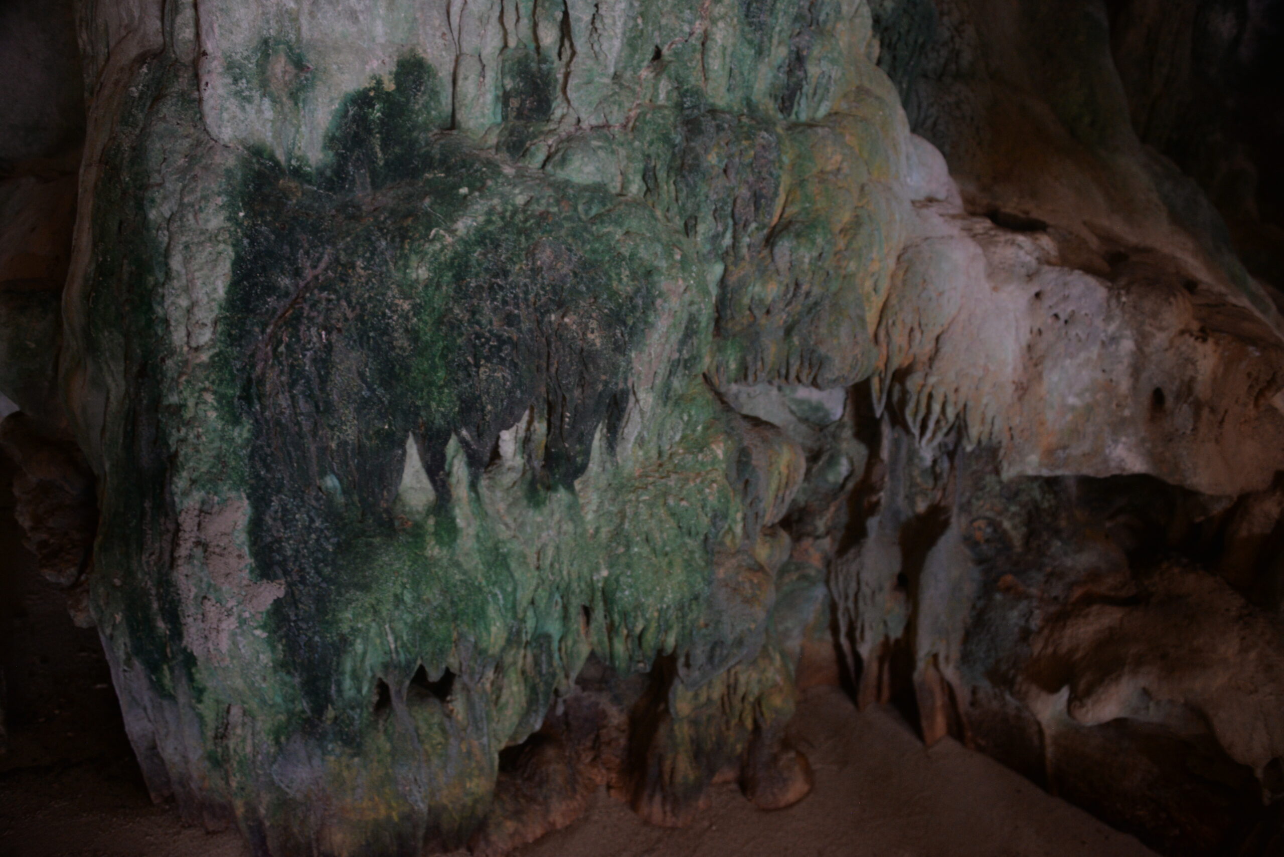
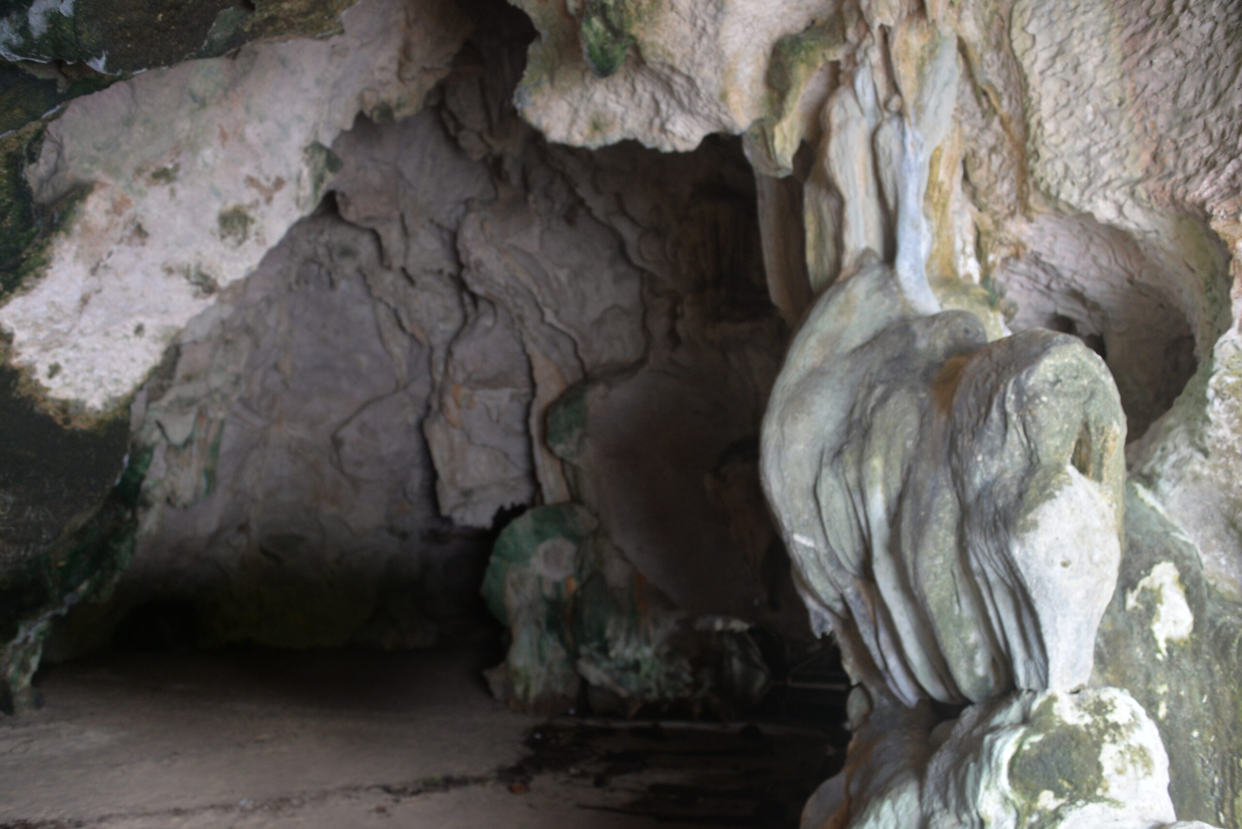
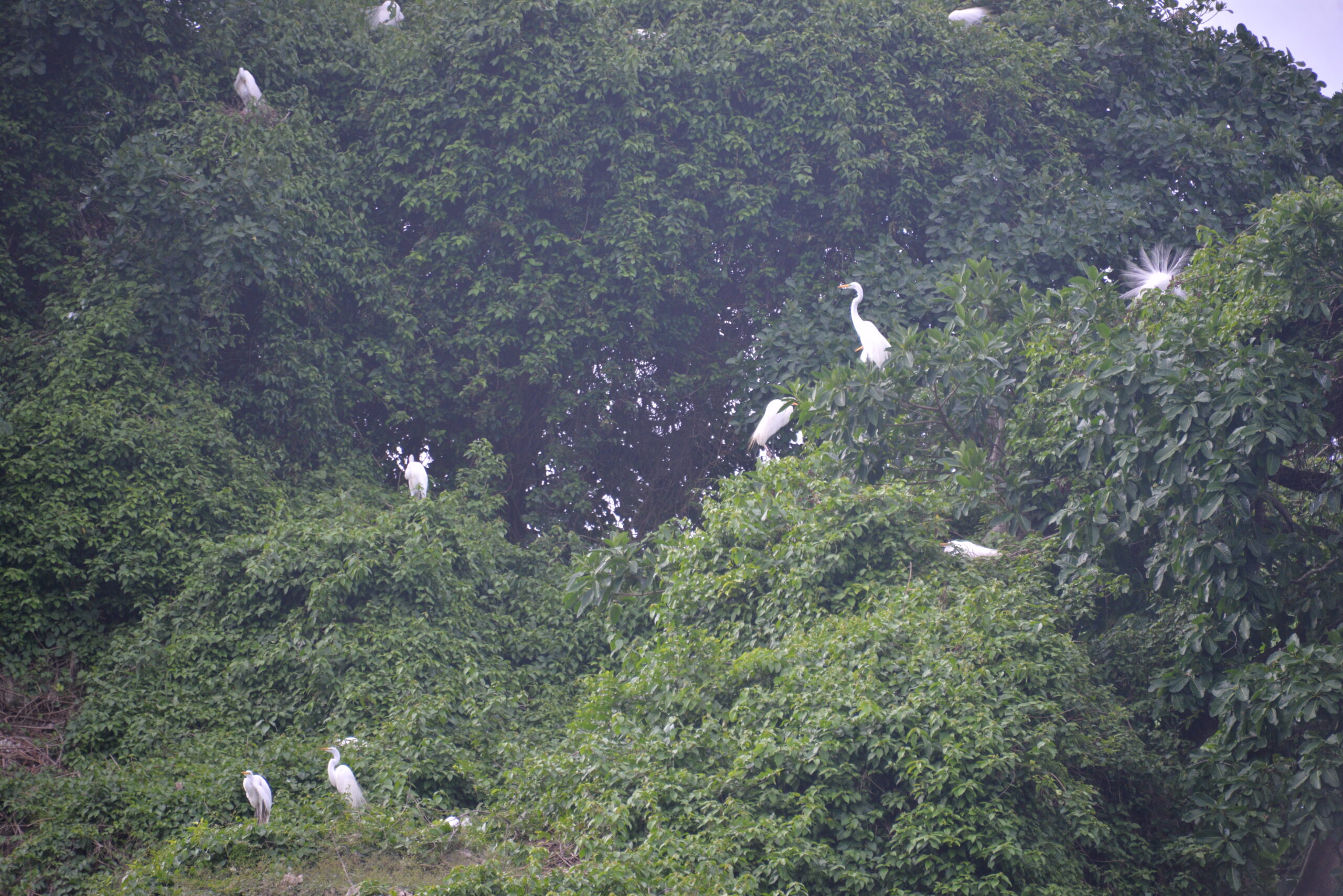
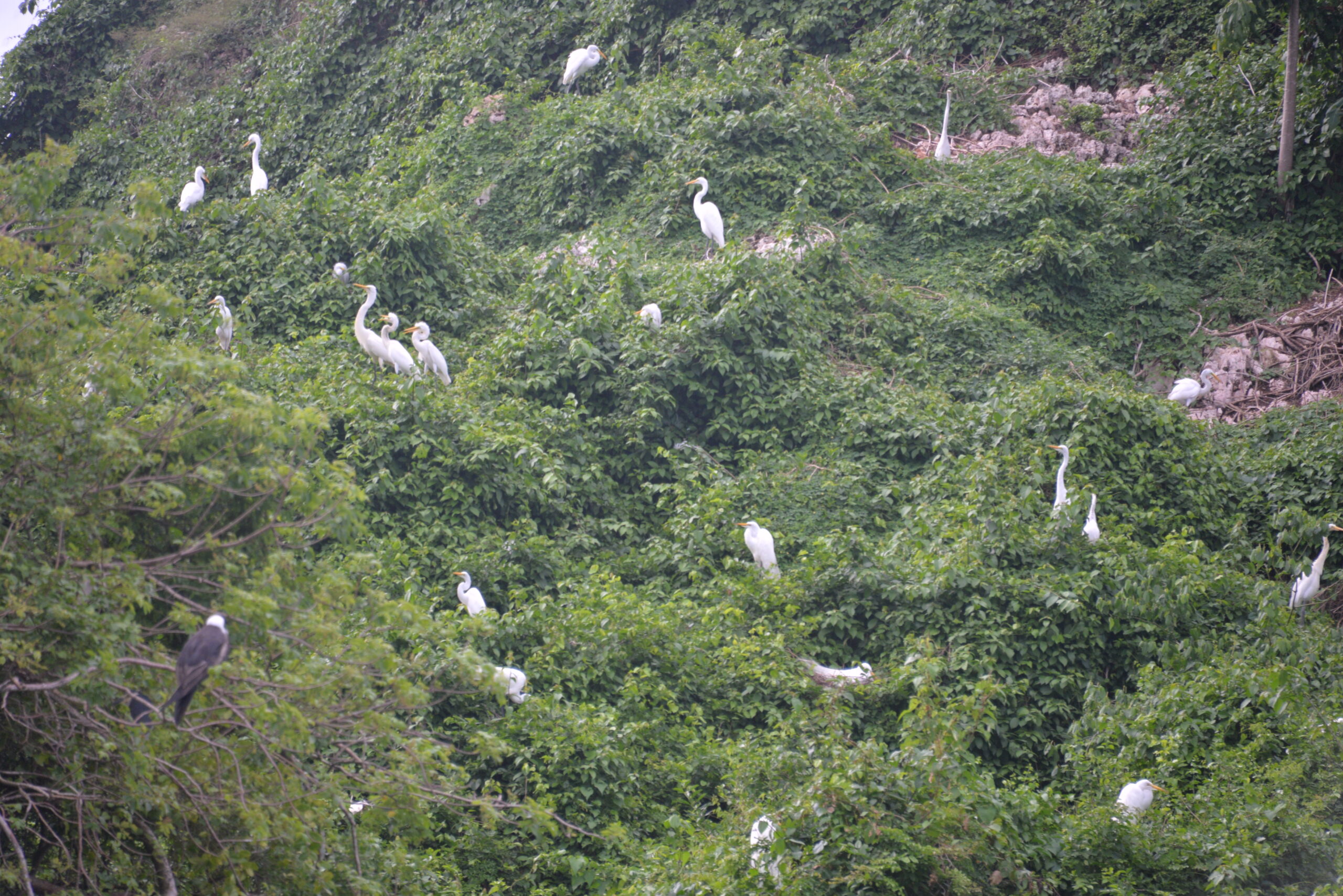
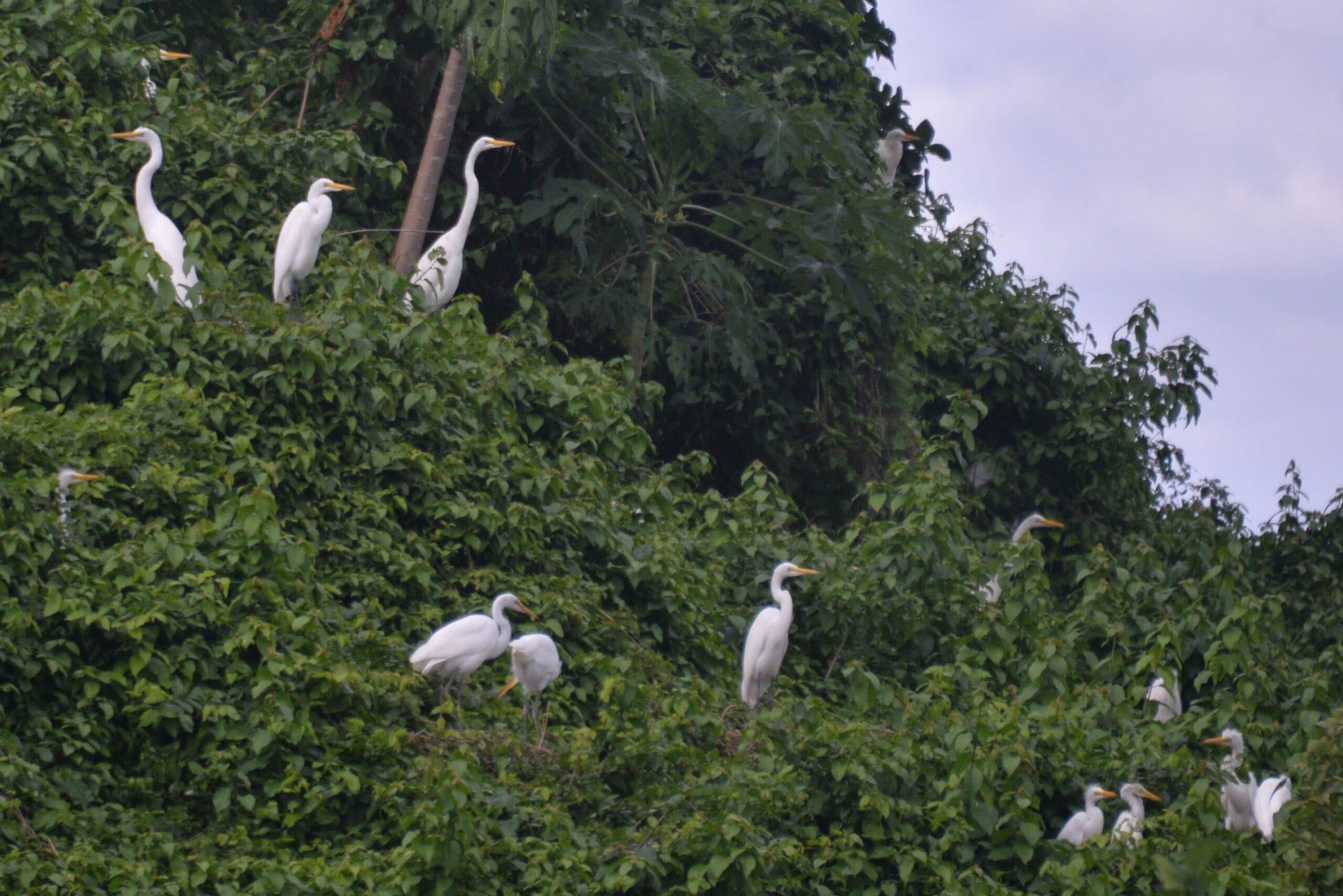
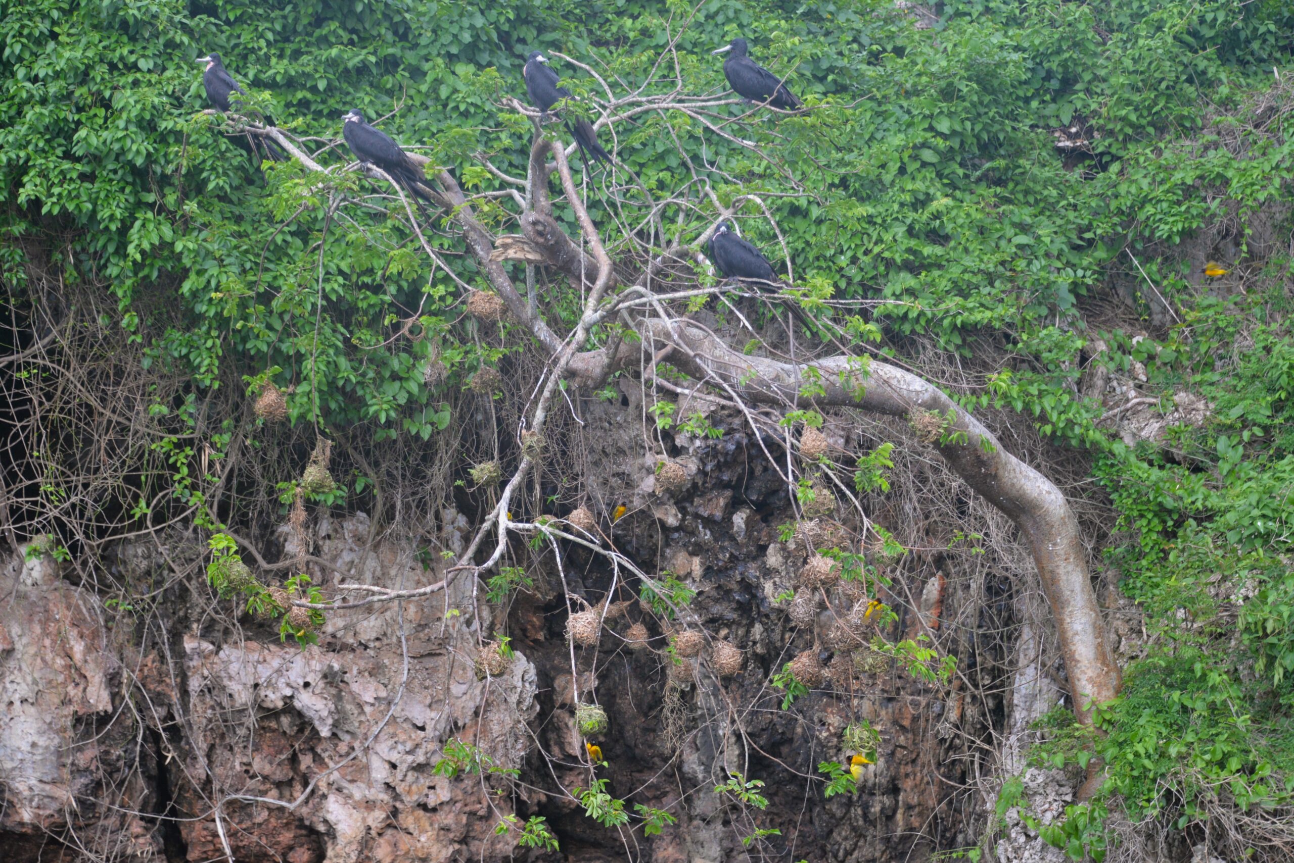
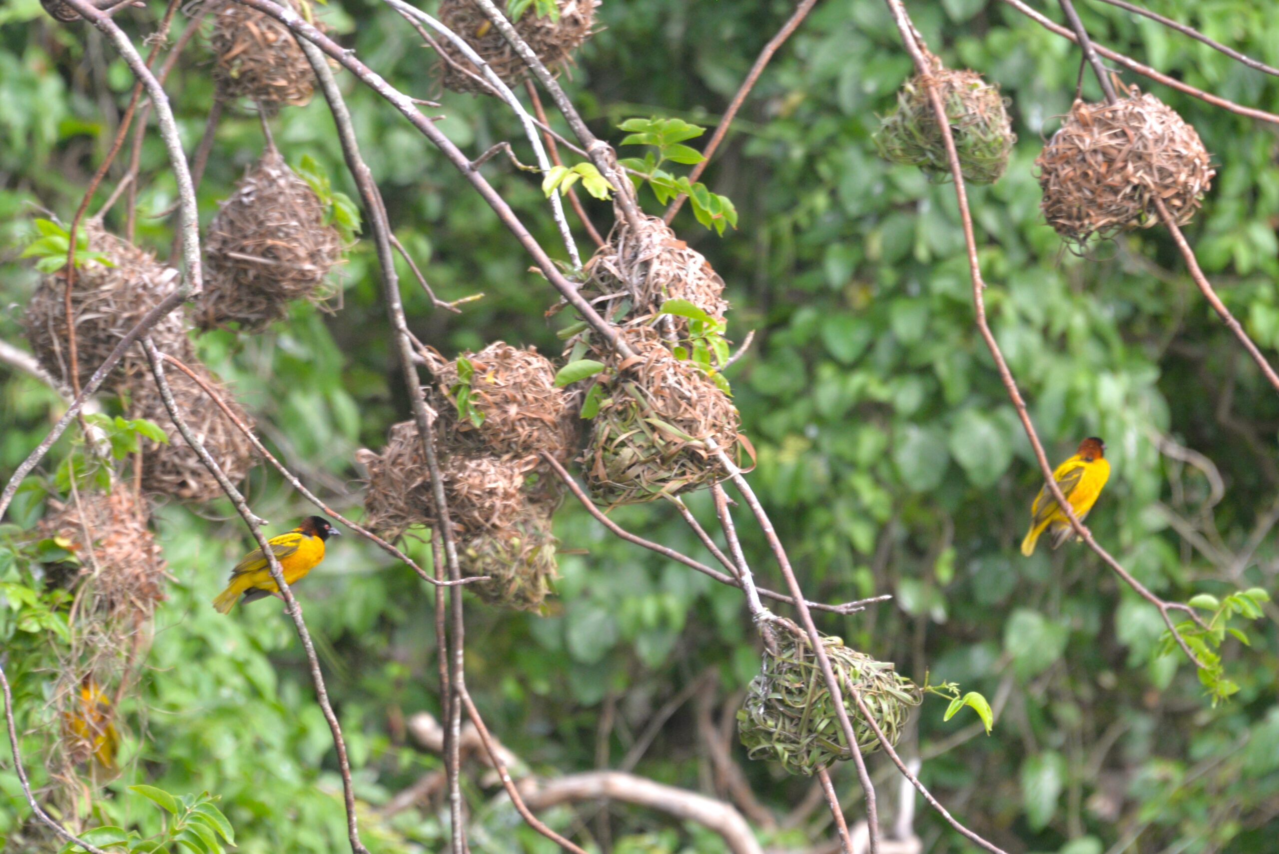
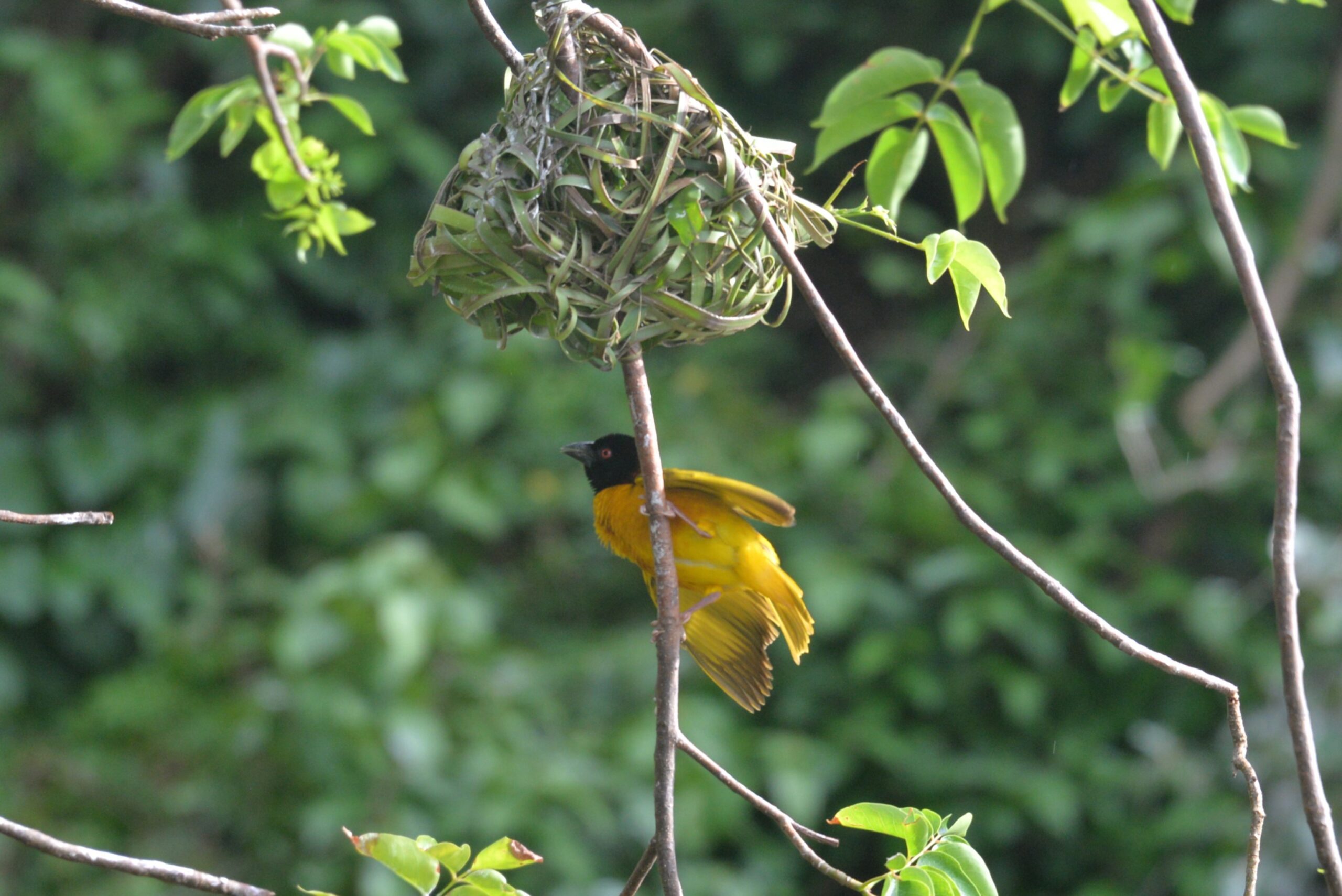
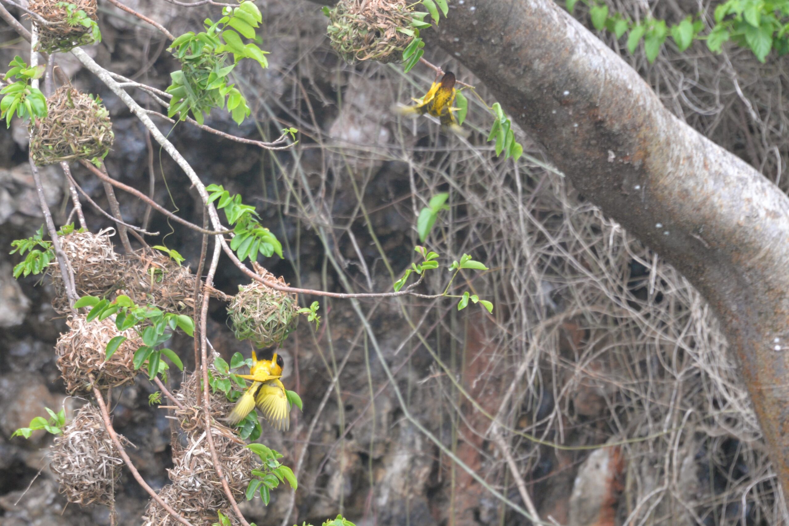
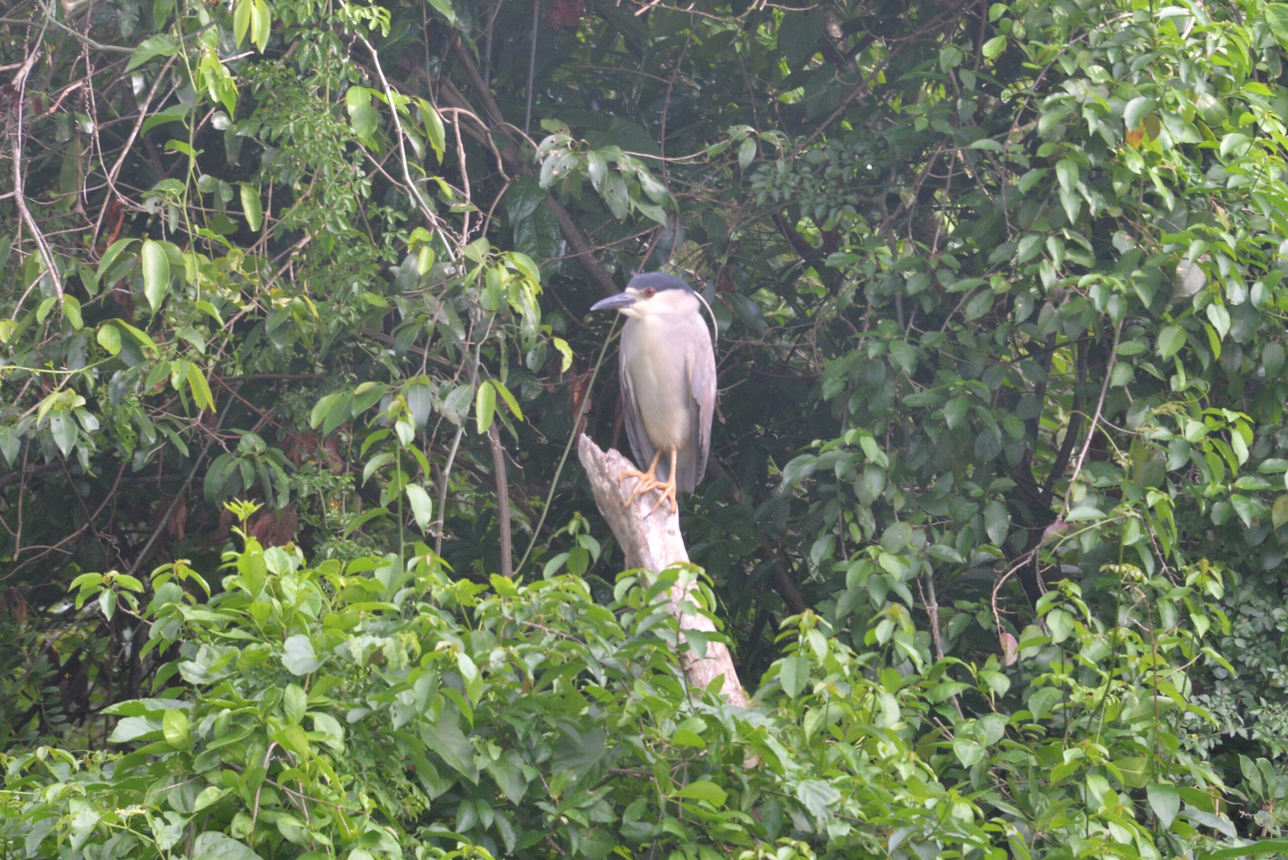
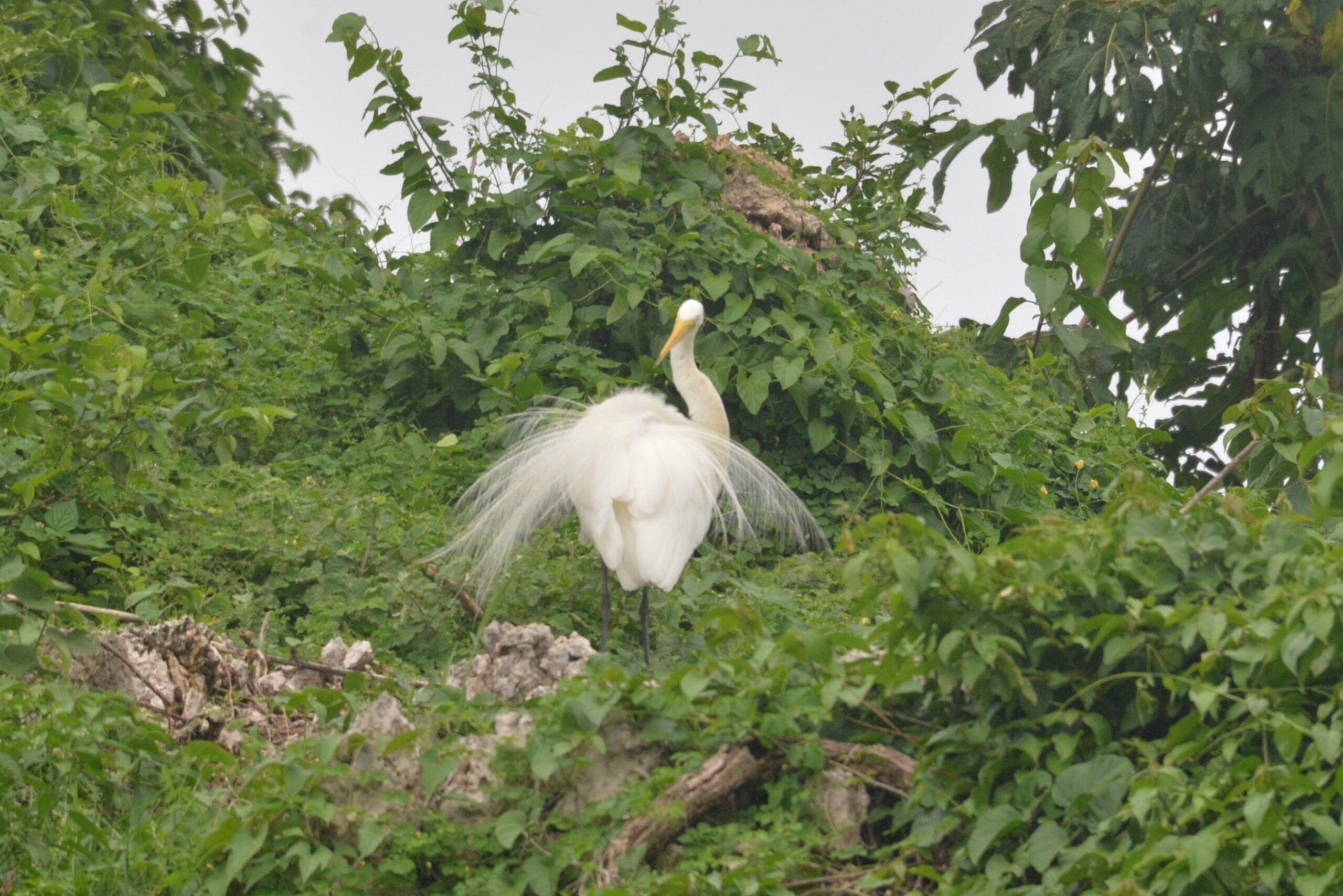
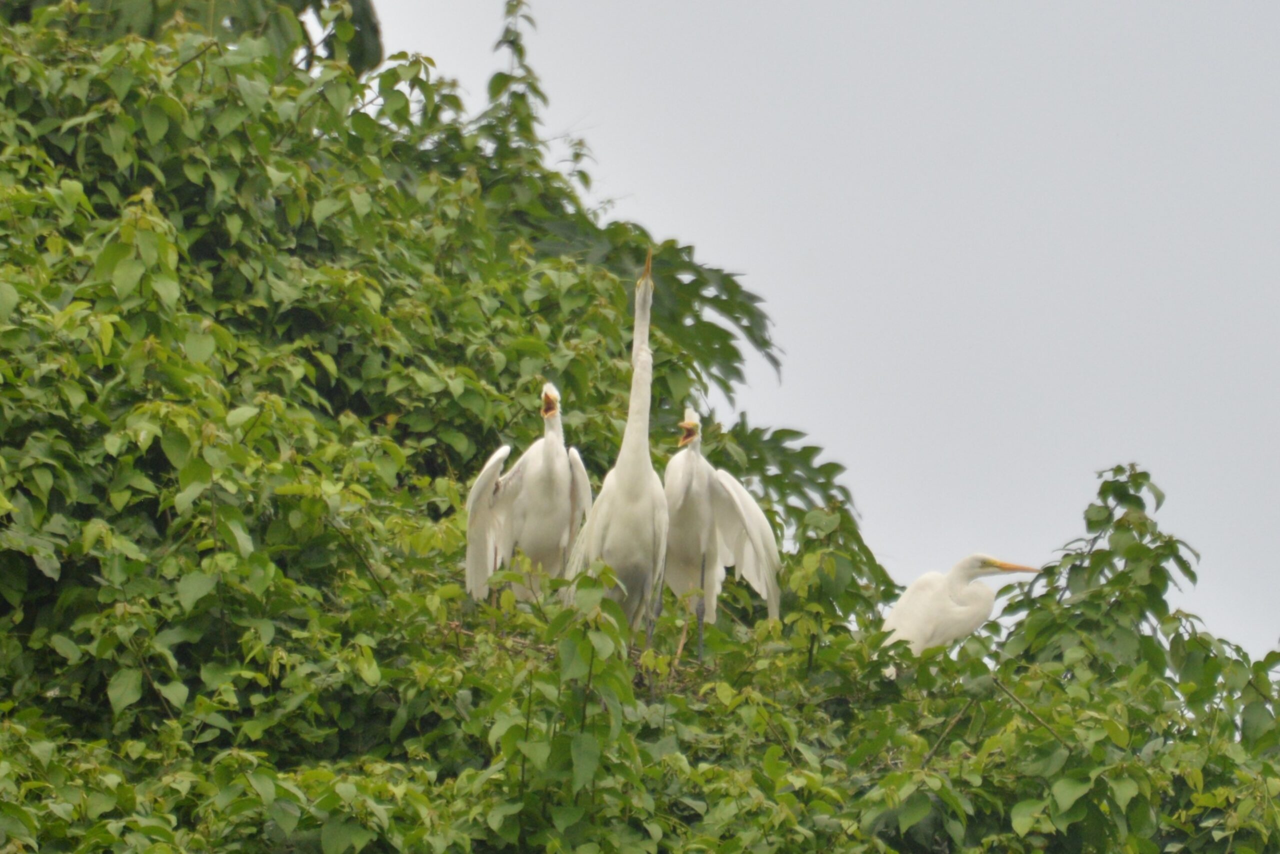
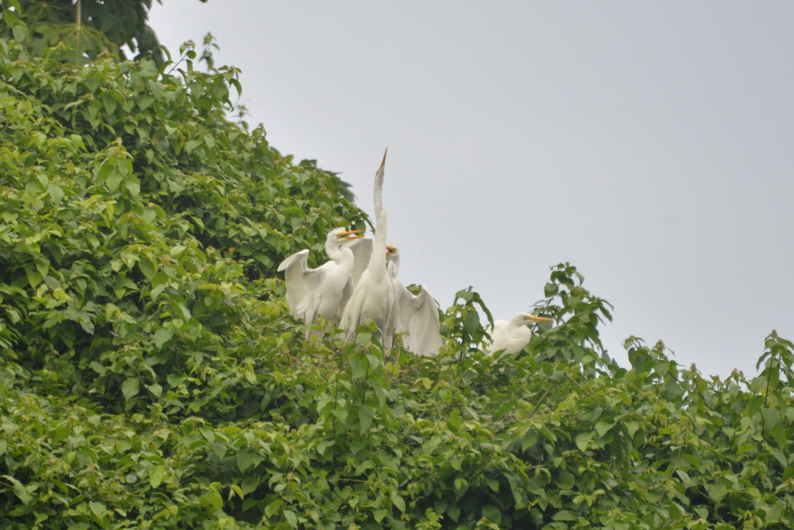
But that’s just the beginning! The park boasts extensive mangroves lining its bay, dotted with cayes home to bustling bird colonies. Adventure seekers can also explore a series of caves adorned with an impressive collection of petroglyphs and pictographs—the highest concentration in the country. Bird watchers, get your binoculars ready! You’ll easily spot the endangered Ridgway’s Hawk, the Hispaniolan Piculet, the Hispaniolan Woodpecker, and the Hispaniolan Emerald, along with pelicans, frigate birds, herons, and many more majestic birds soaring across the park’s vast landscape.
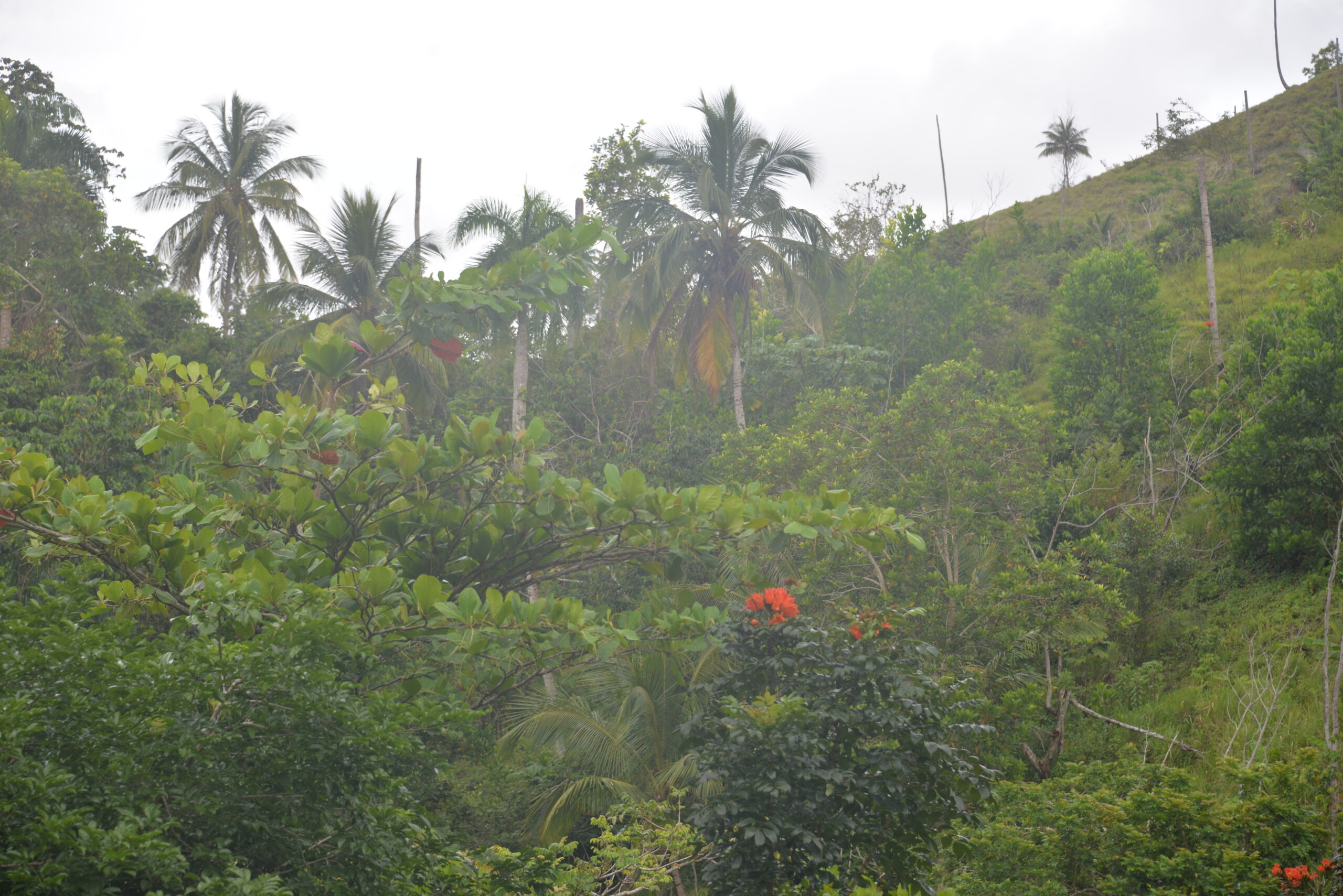
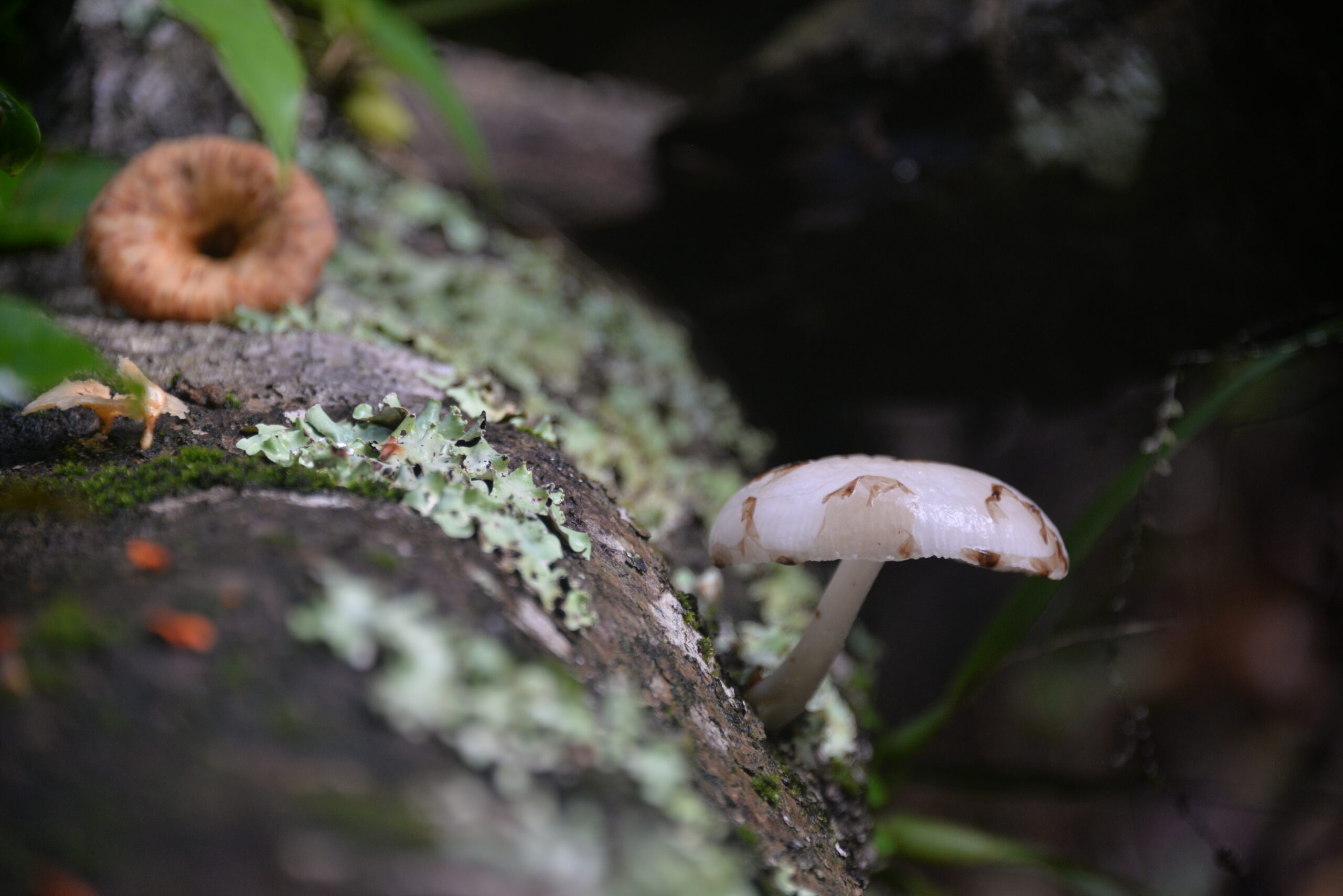
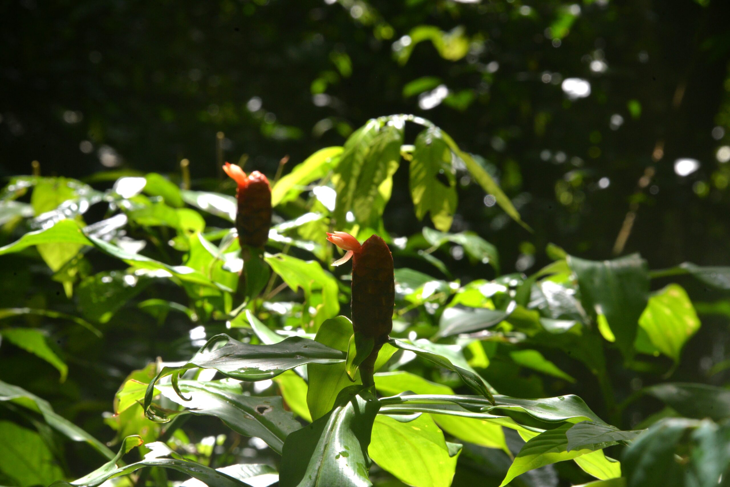
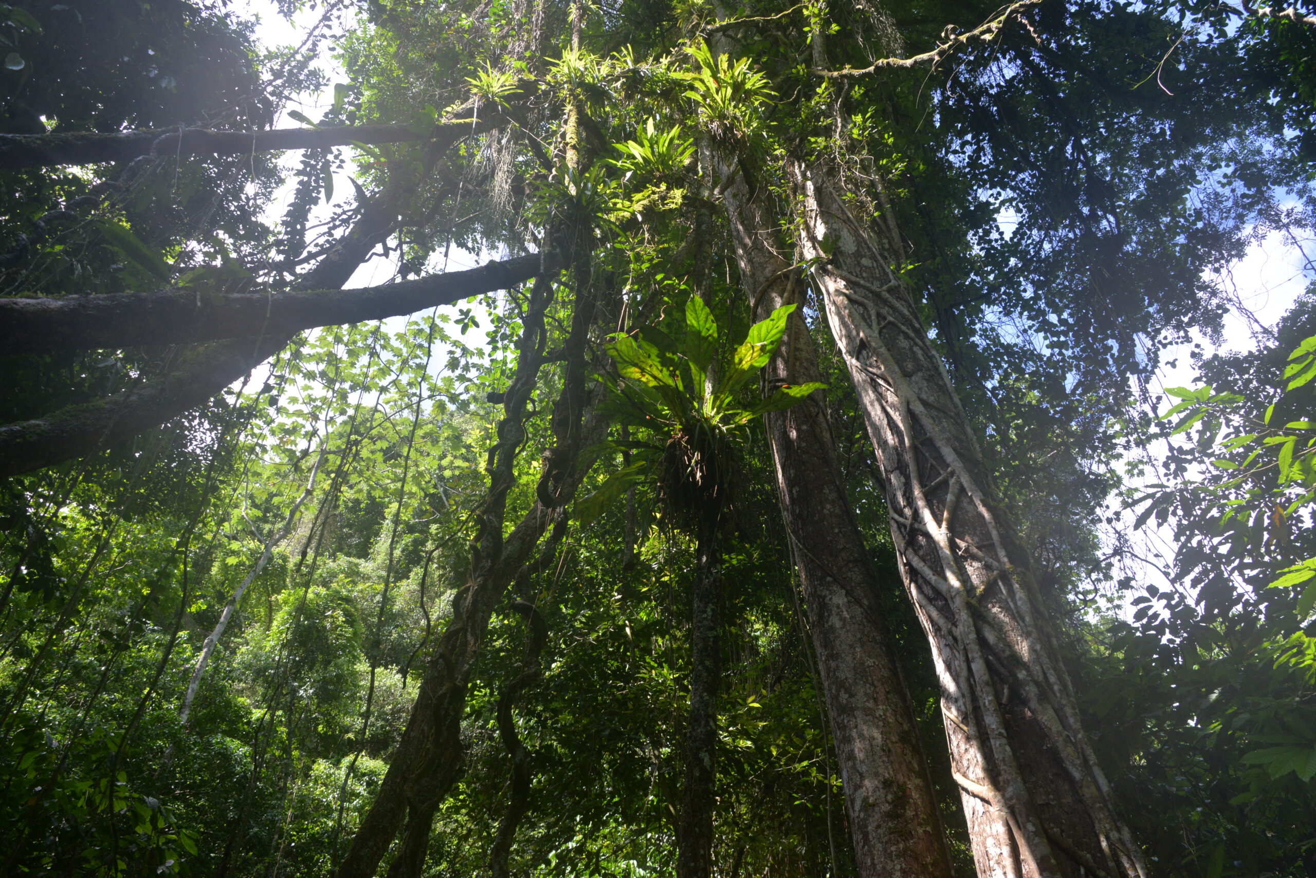
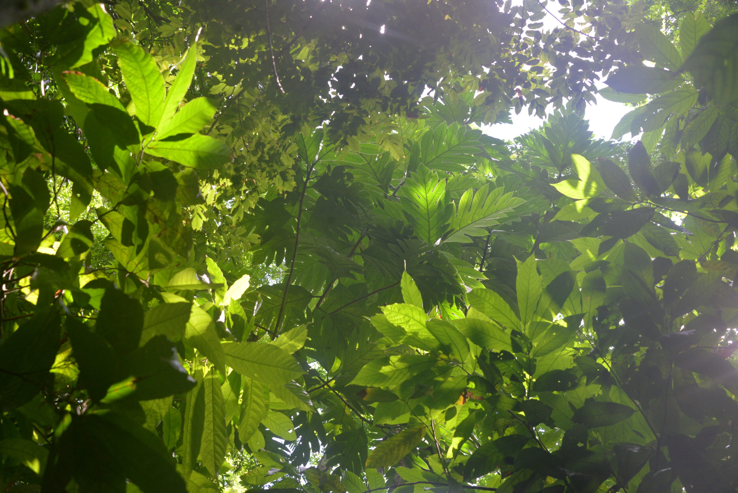
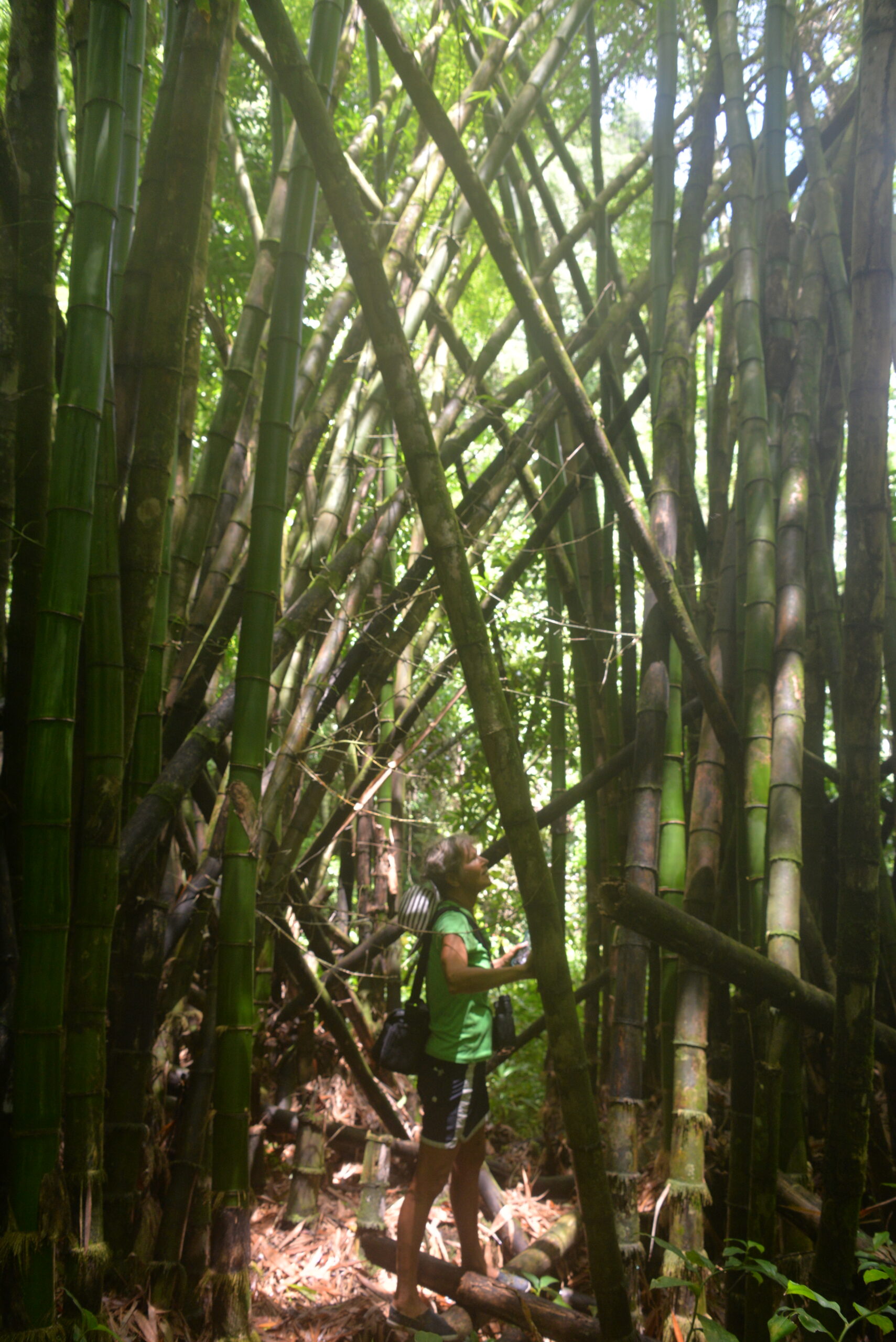
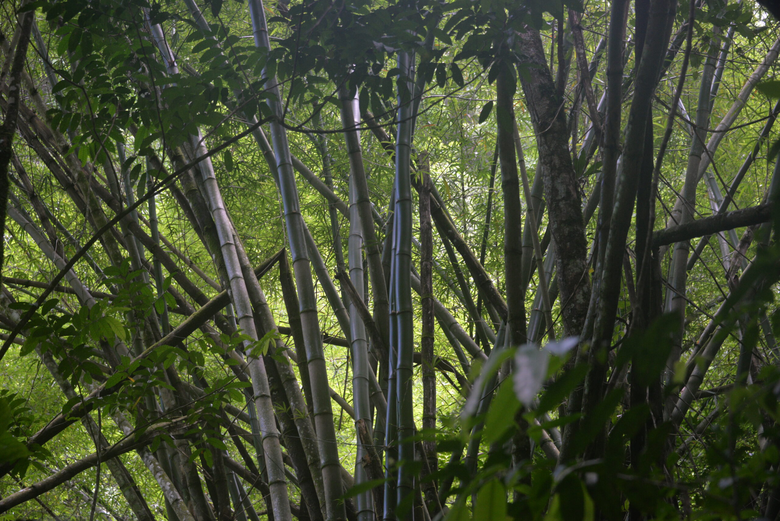
As if that weren’t enough, Los Haitises also nurtures one of the DR’s few remaining rainforests, a lush paradise that was once a filming location for the iconic movie Jurassic Park. This park is a living, breathing postcard of natural wonders, offering a breathtaking escape into the heart of the Dominican Republic’s wild beauty.
We can’t miss the opportunity to visit it!


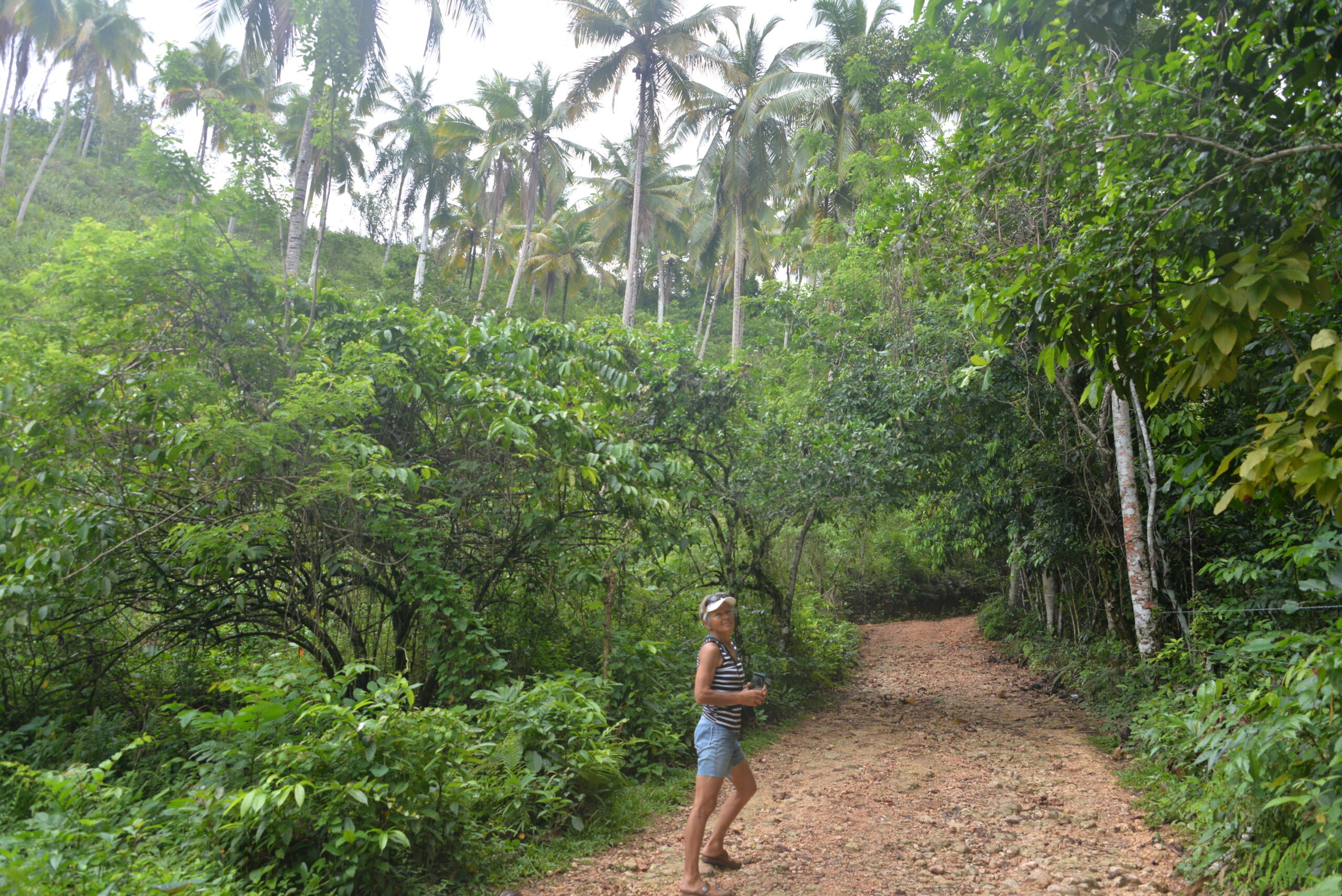
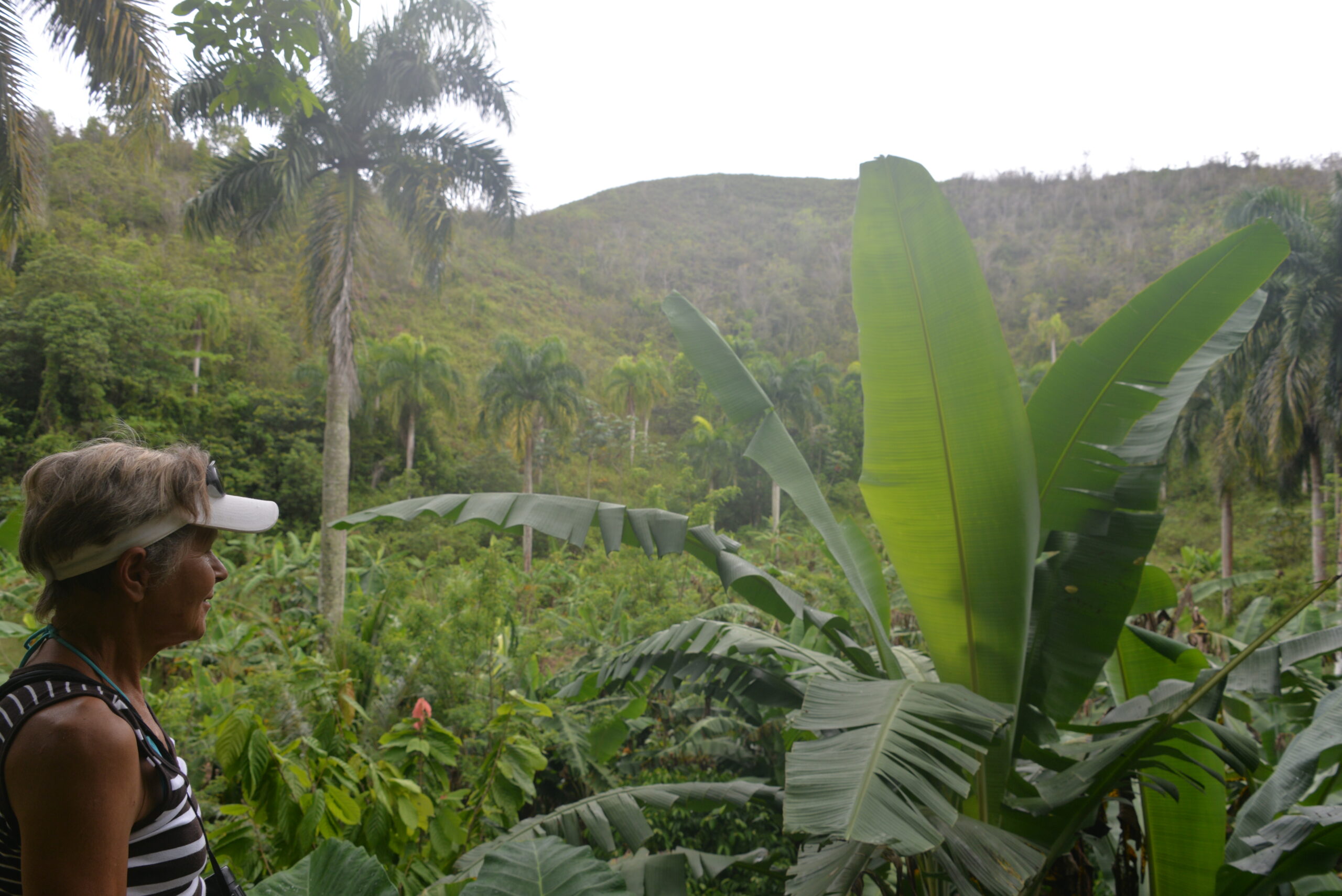
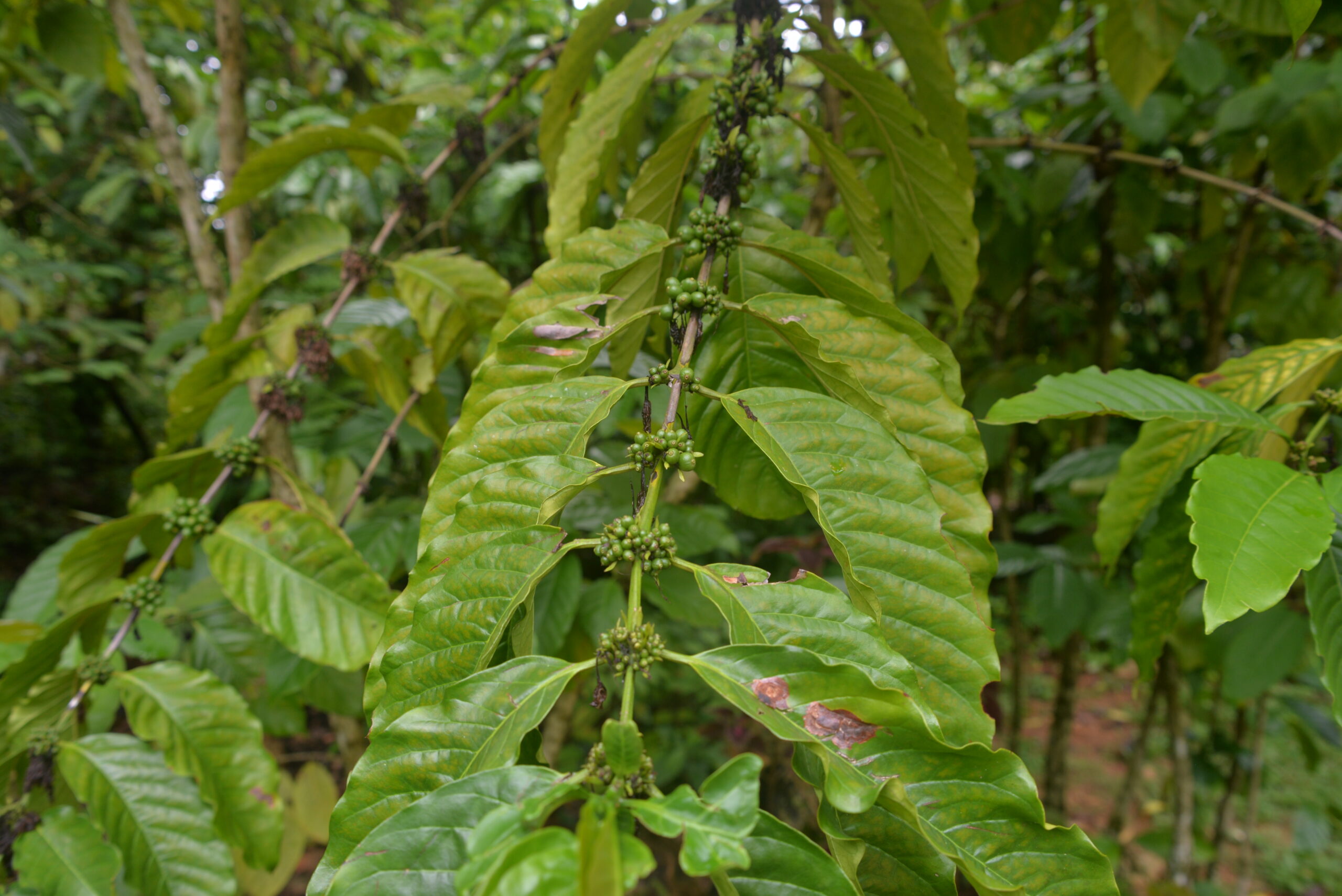
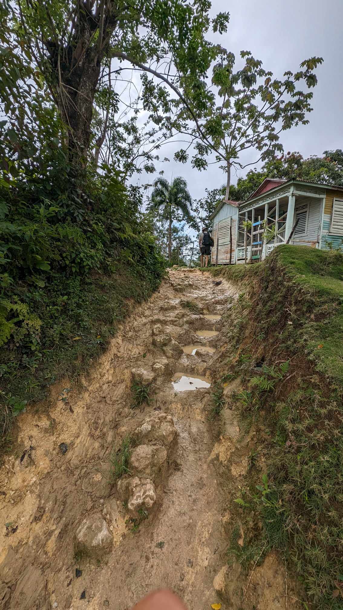
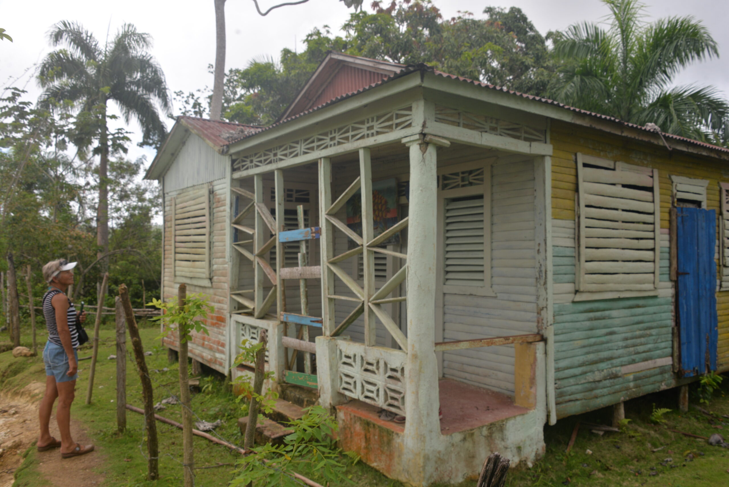
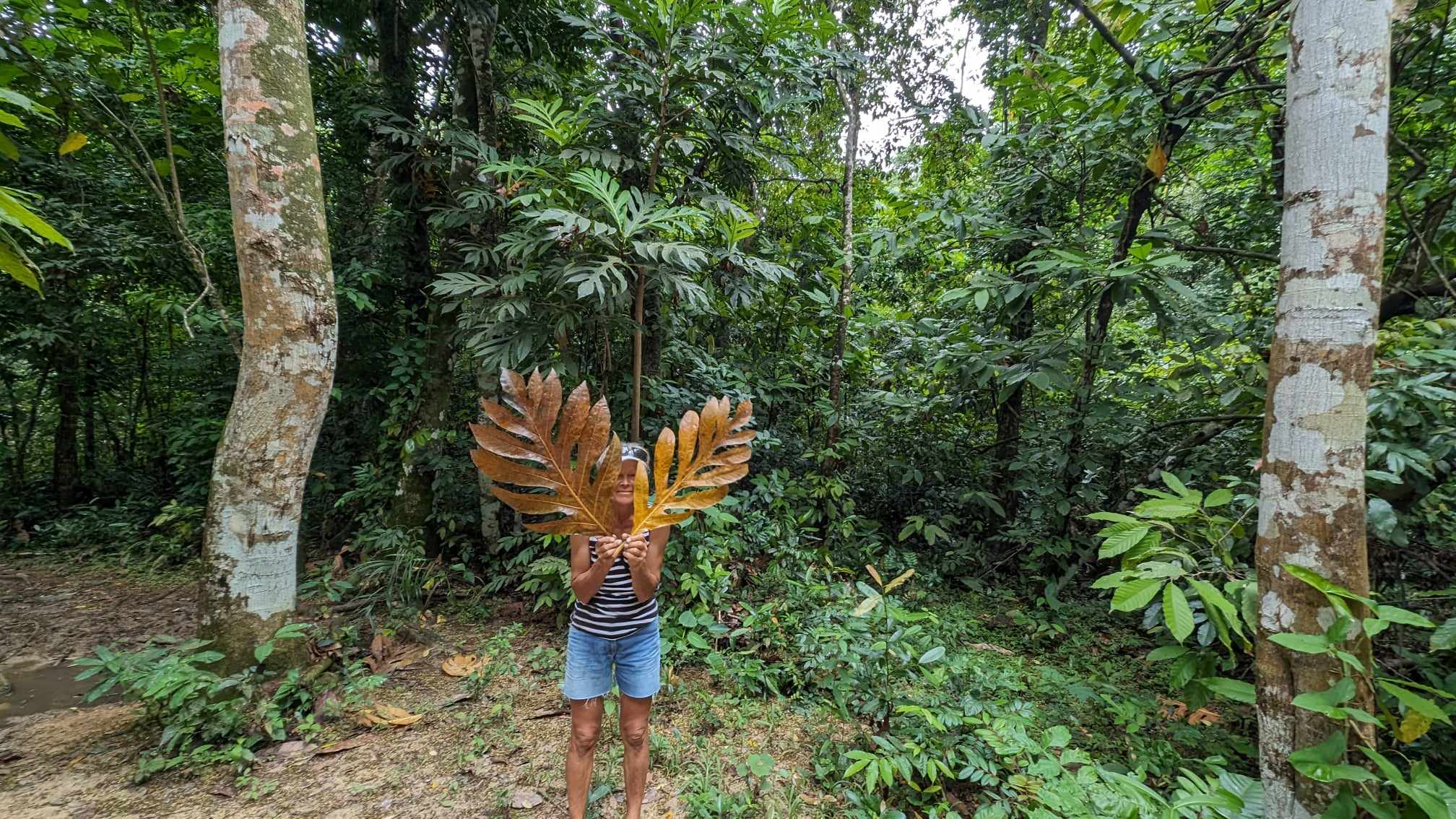
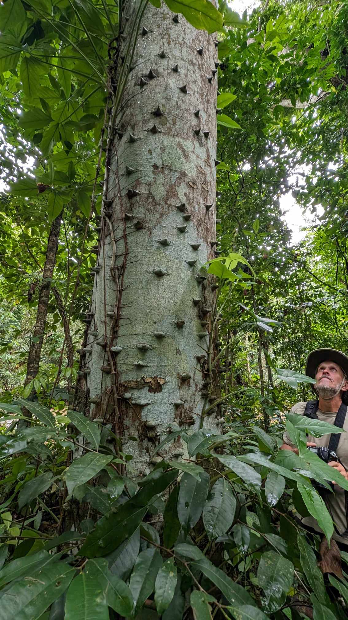
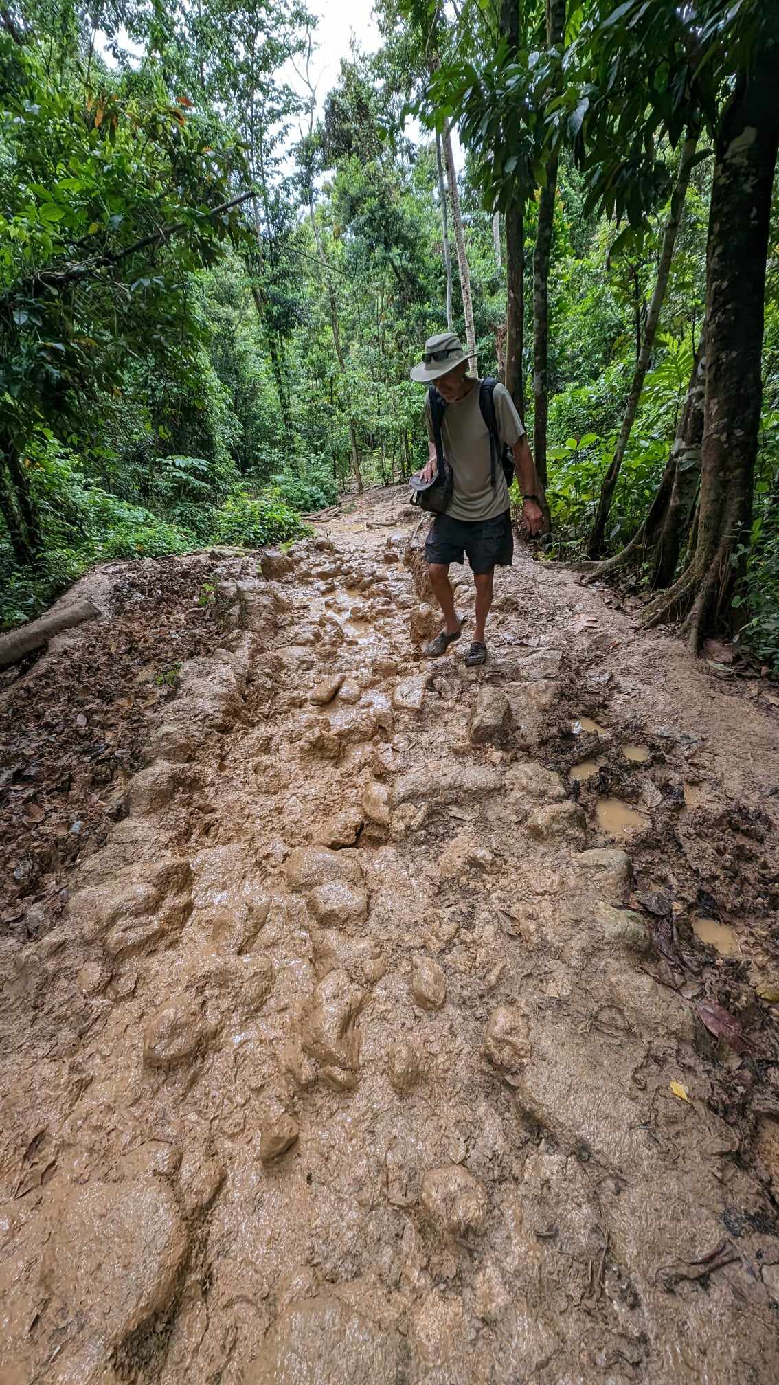
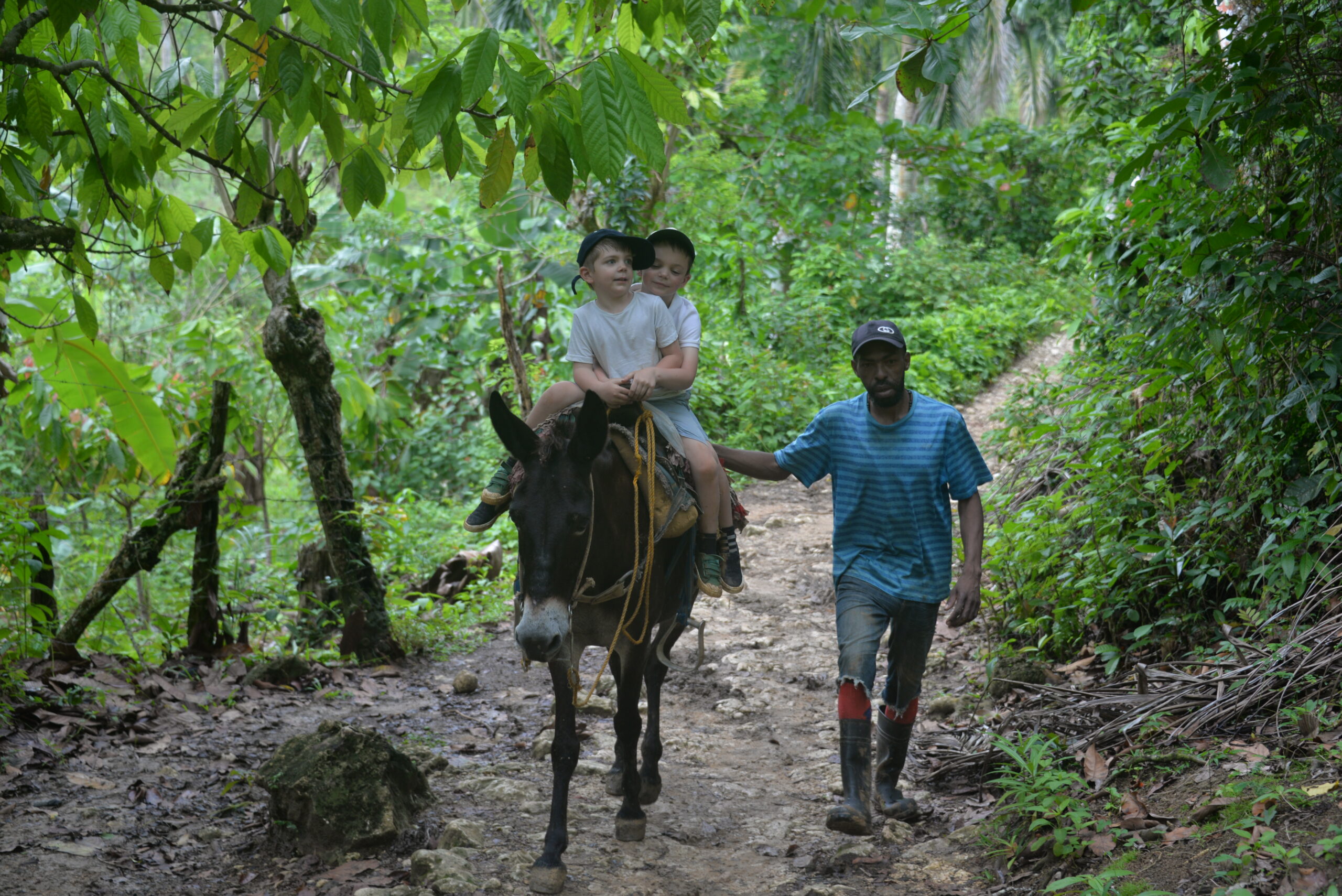
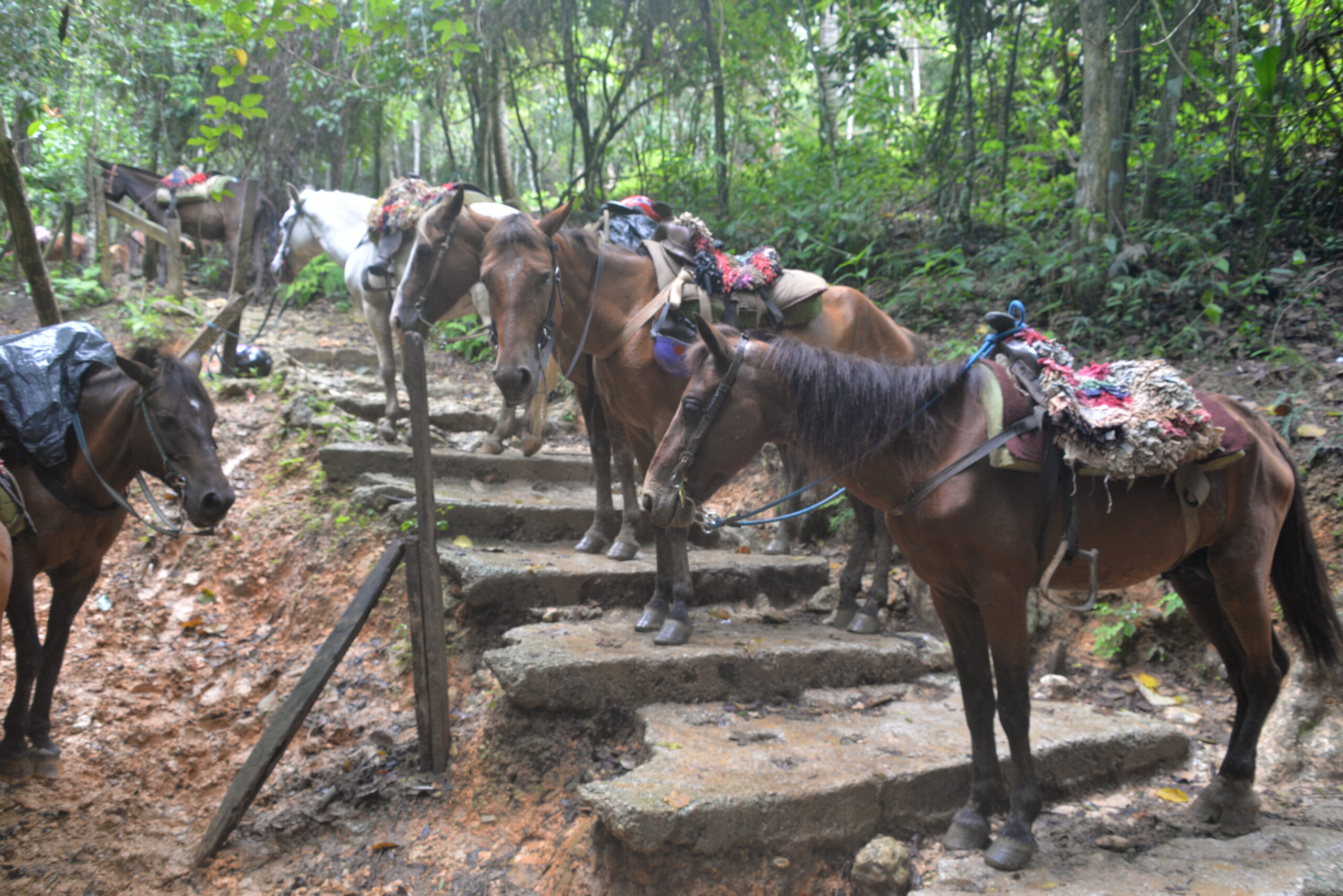
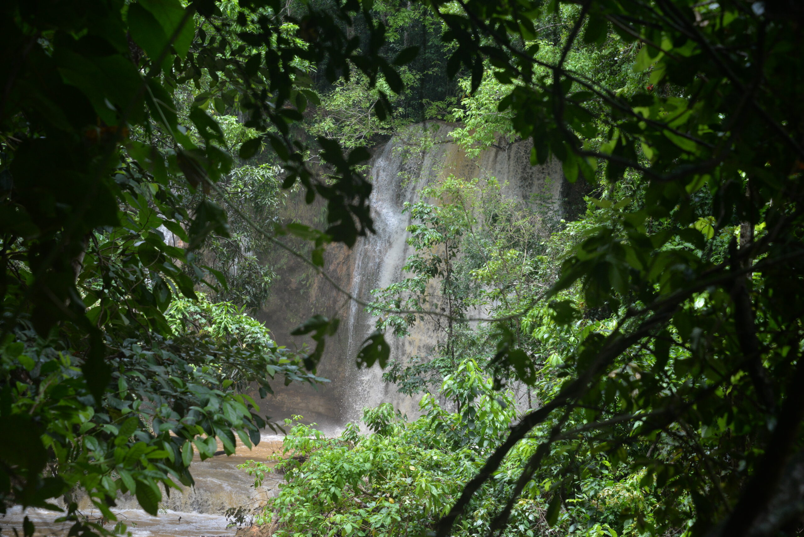
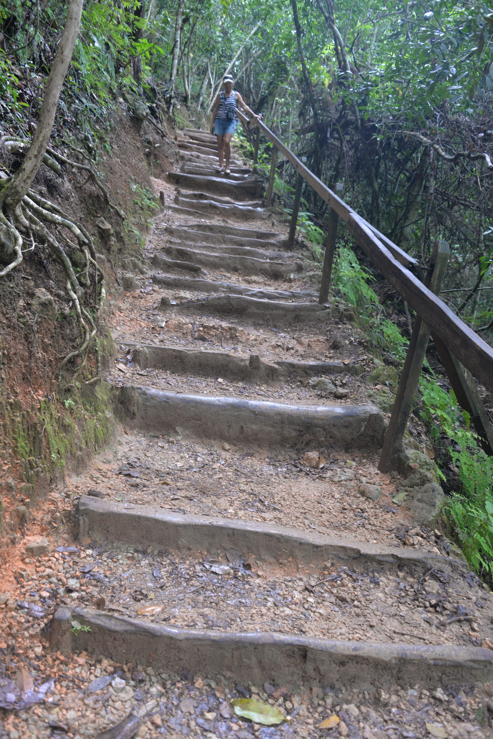
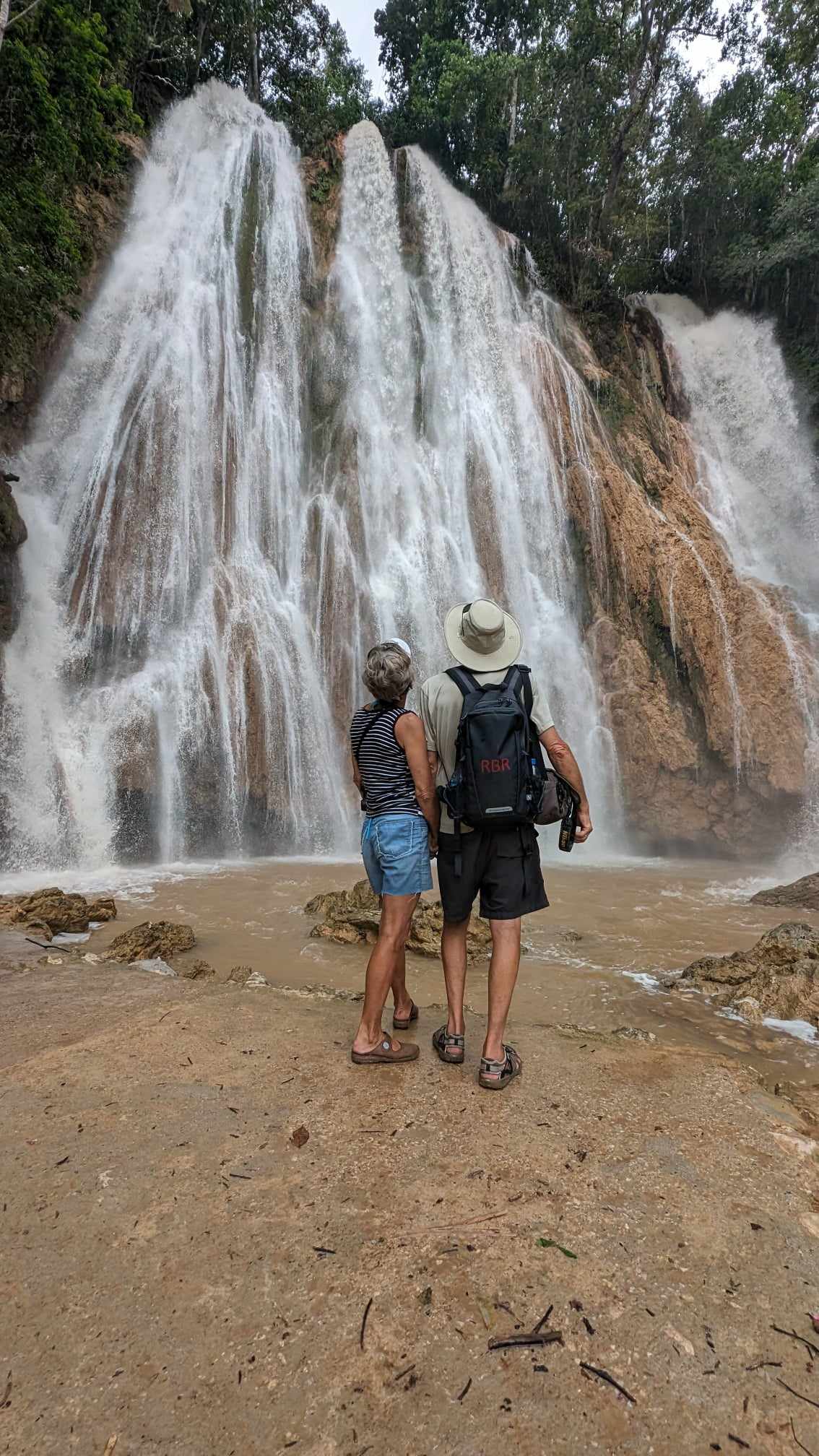
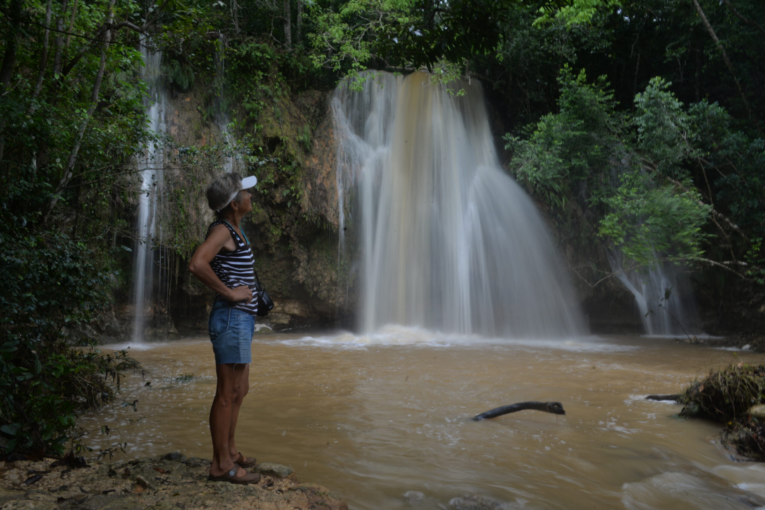
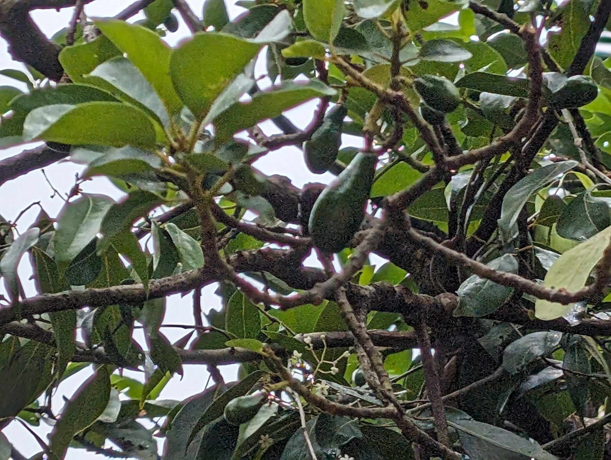
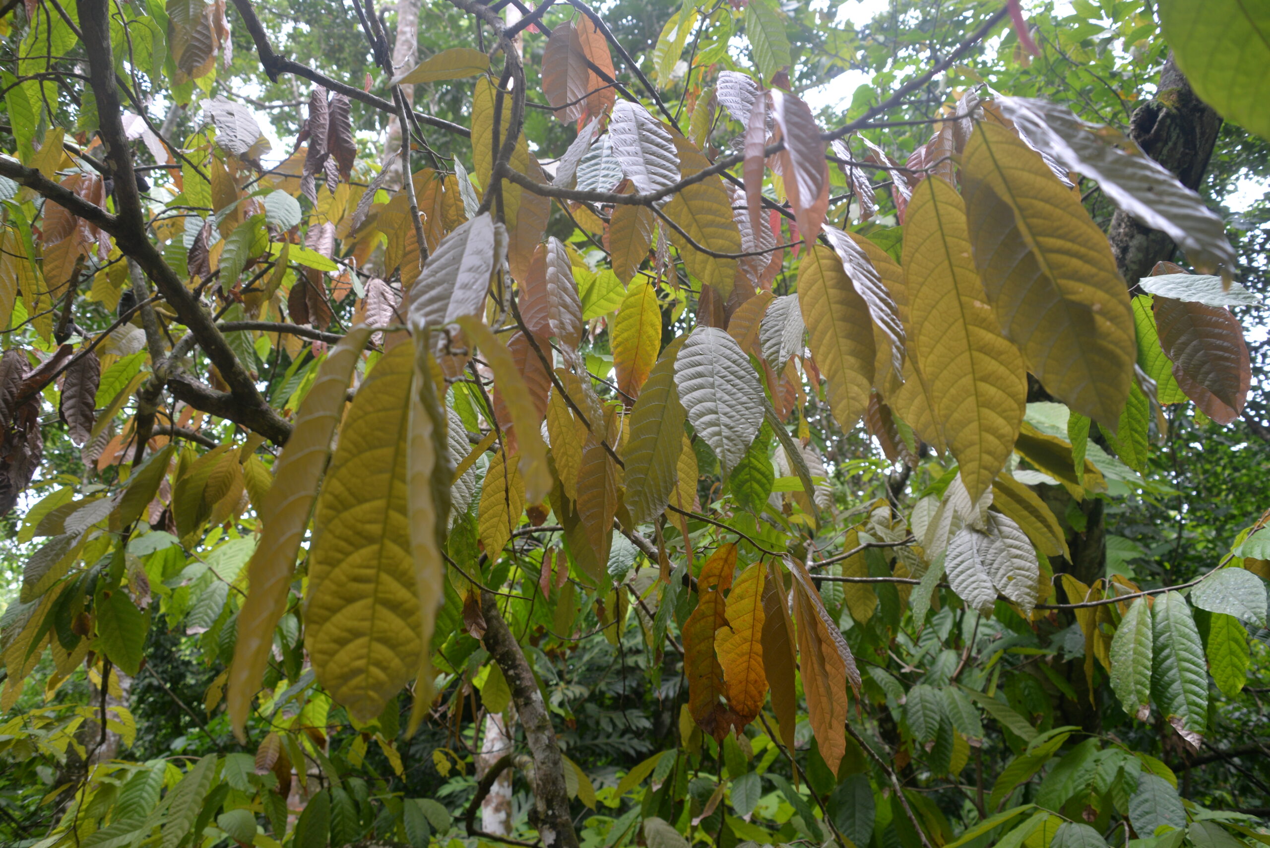
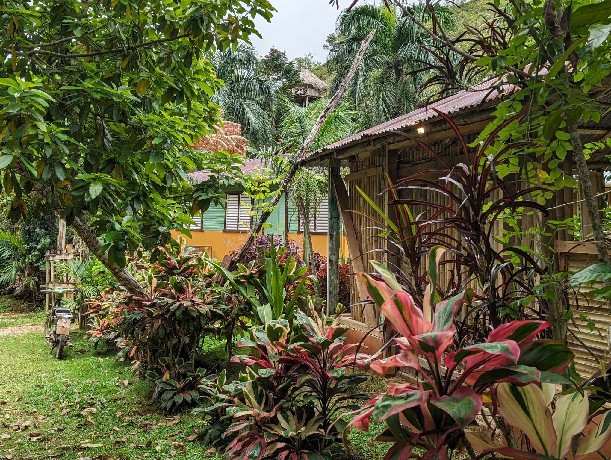
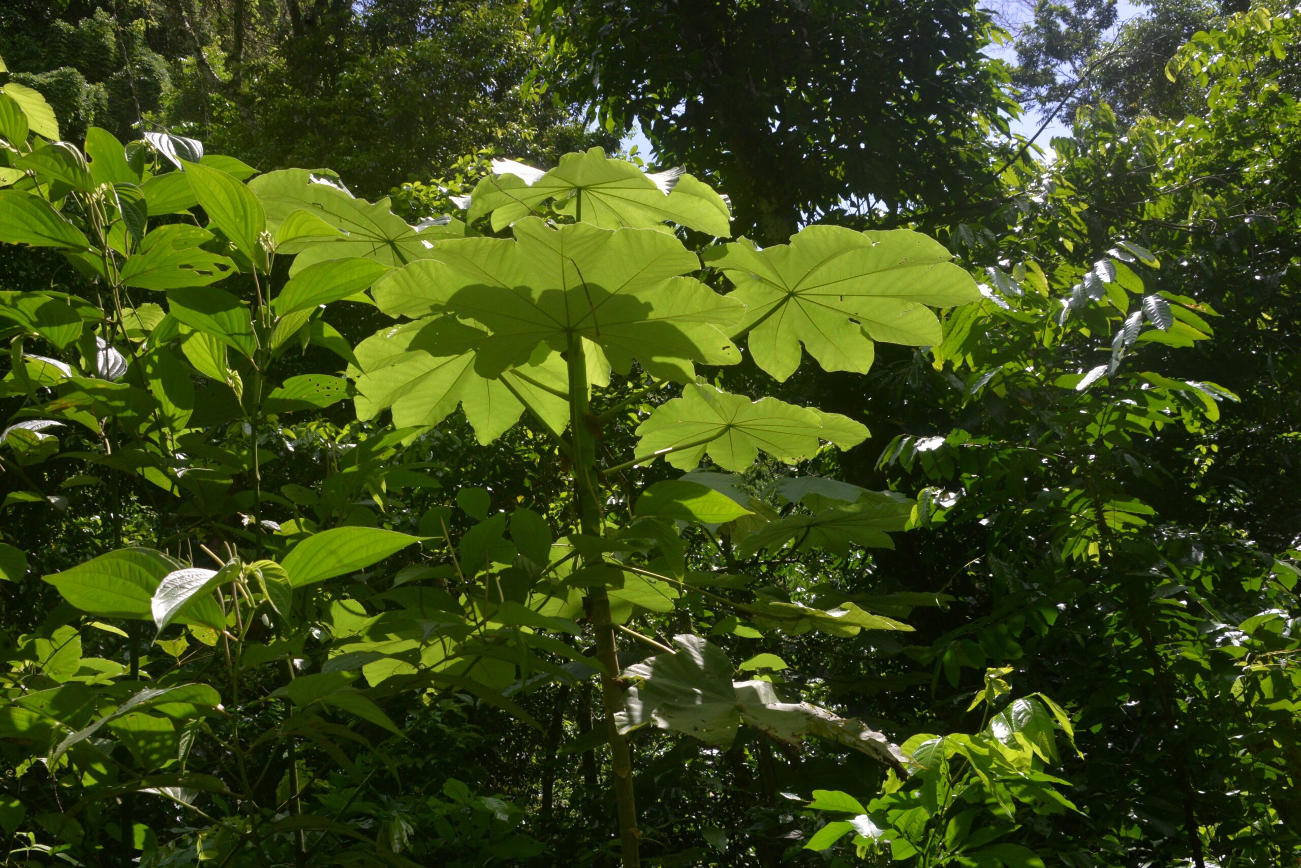
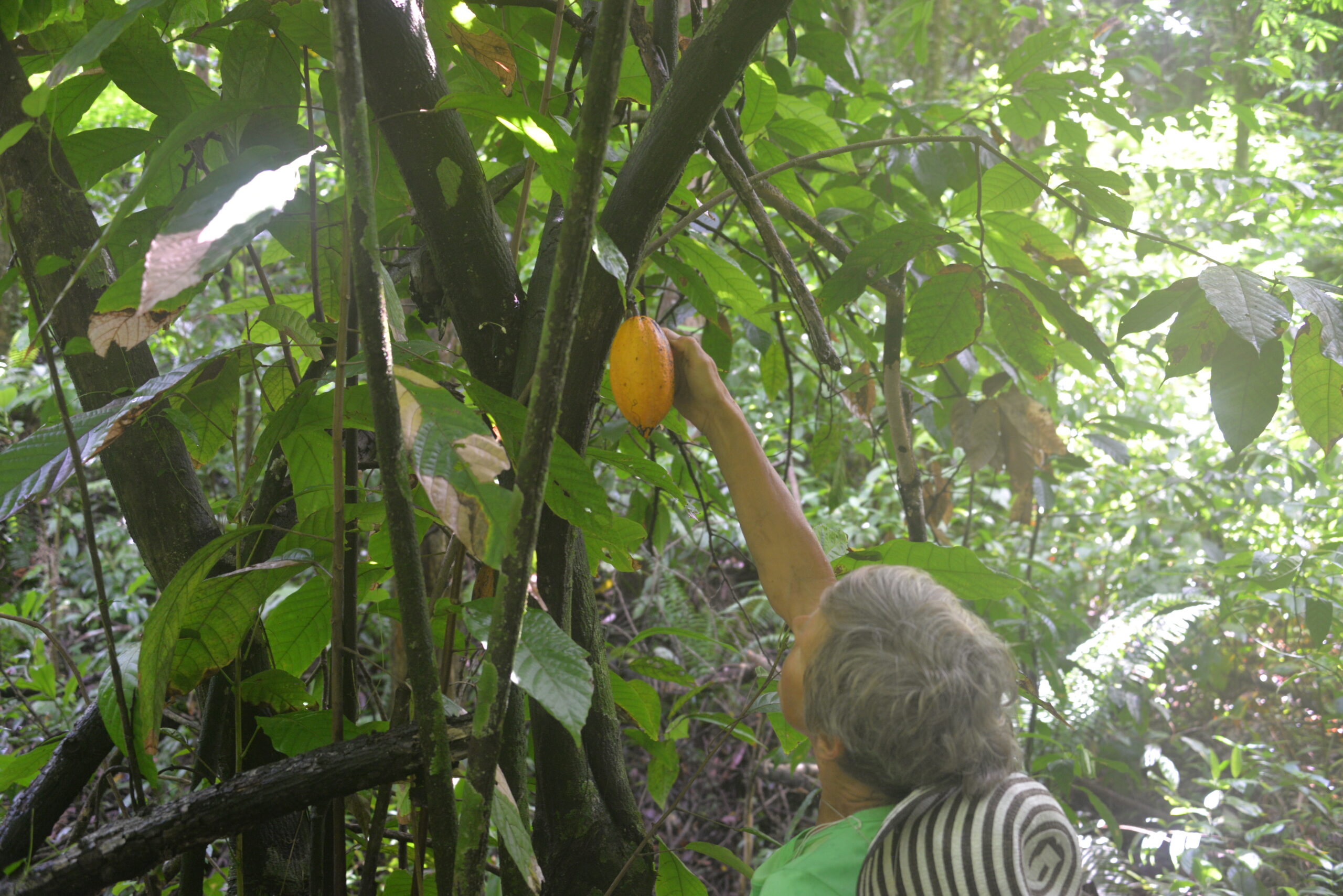
Our hiking trip to the Dominican Republic’s most stunning waterfall, El Limon, towering at 53 meters high, was nothing short of an adventure. The lush wilderness surrounding the falls boasts a rich variety of native flora, from majestic royal palm trees to bountiful banana, avocado, cocoa, and coffee plants. The trail stretched approximately 3 kilometers, but the muddy and humid conditions made every step feel like a Herculean feat. Yet, despite the challenges, reaching our ultimate destination was an awe-inspiring moment—the breathtaking sight of the magnificent waterfall awaited us, making the journey well worth the effort.